Breach Wood
Wood, Forest in Wiltshire
England
Breach Wood
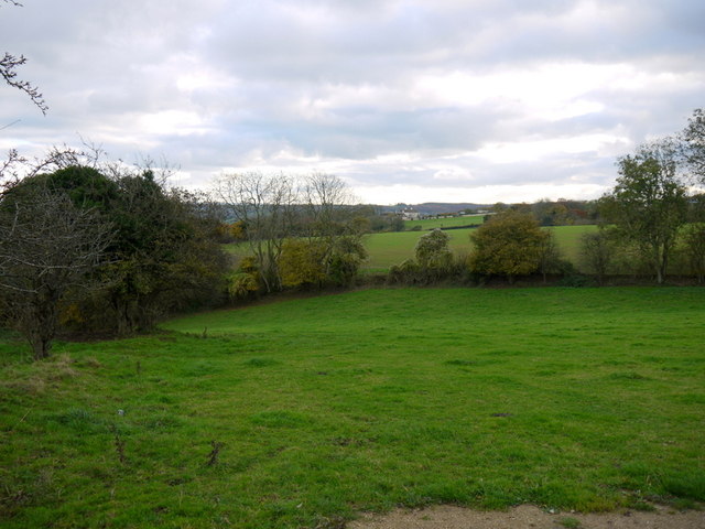
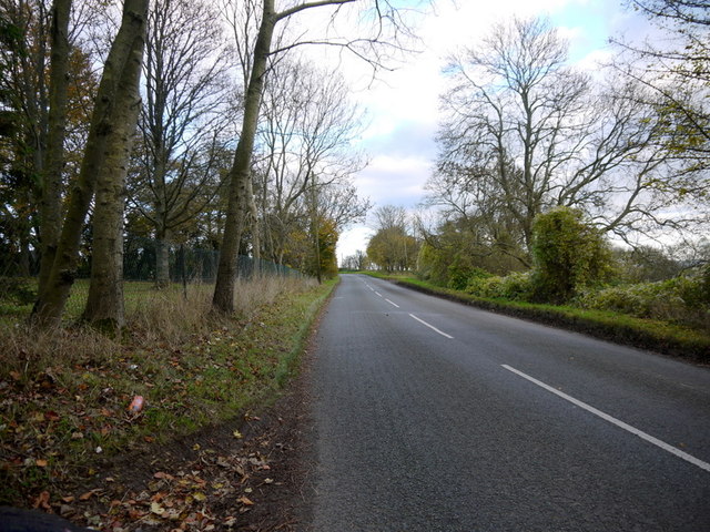
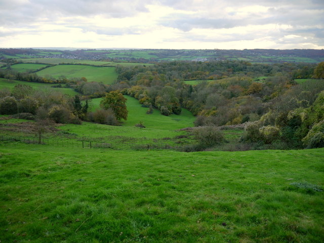
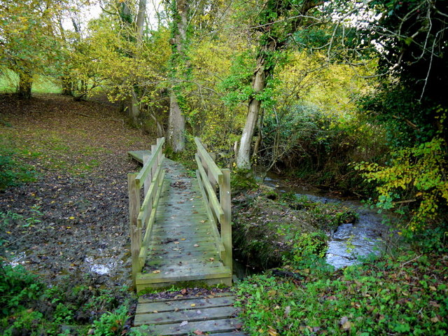
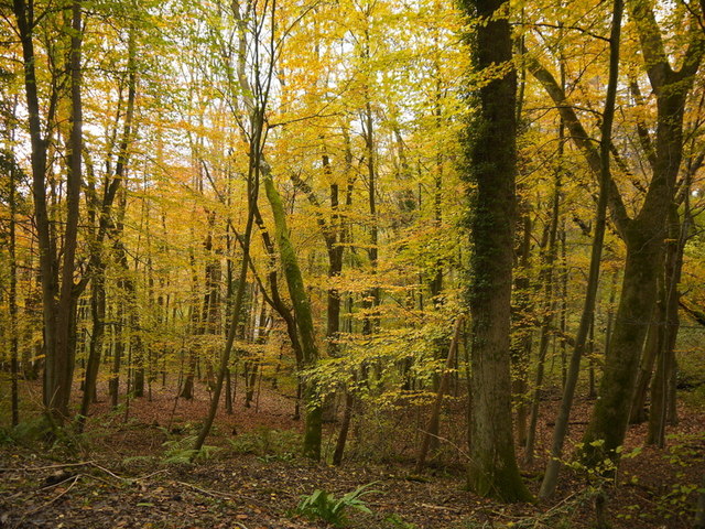
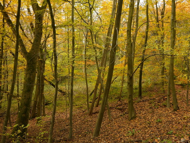
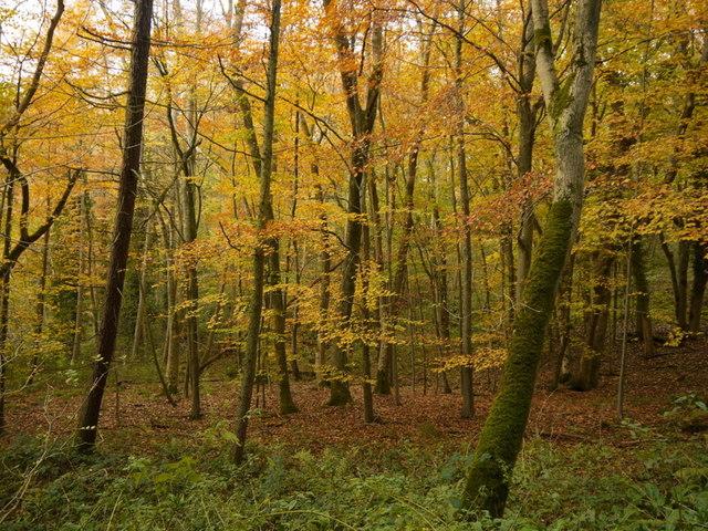
Breach Wood is a picturesque forest located in the county of Wiltshire, England. Spread across an area of approximately 100 acres, this woodland is known for its natural beauty and rich biodiversity. The forest is situated near the village of Westbury, offering a tranquil escape from the hustle and bustle of urban life.
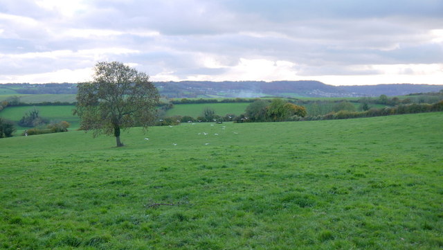
Breach Wood is predominantly composed of broadleaf trees, including oak, beech, and ash. These towering trees provide a dense canopy that filters sunlight, creating a dappled effect on the forest floor. The woodland is also home to a variety of wildlife, such as deer, foxes, badgers, and a plethora of bird species, making it a popular destination for nature enthusiasts and birdwatchers alike.
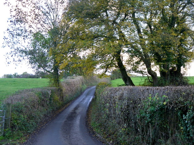
The forest is crisscrossed by several well-maintained footpaths, offering visitors the opportunity to explore its enchanting surroundings. These trails wind through the woodland, leading to hidden glades and peaceful clearings, perfect for a picnic or simply immersing oneself in nature. In spring, the forest floor becomes a colorful carpet of bluebells, adding to the magical ambiance of Breach Wood.
Managed by the local authorities, the wood is carefully conserved to protect its natural heritage. It serves as an important habitat for numerous rare and endangered species of flora and fauna. The forest also contributes to the overall health of the ecosystem by improving air quality and conserving soil integrity.
Overall, Breach Wood is a captivating woodland retreat, offering visitors a chance to reconnect with nature and experience the tranquility of Wiltshire's natural environment.
If you have any feedback on the listing, please let us know in the comments section below.
Breach Wood Images
Images are sourced within 2km of 51.43198/-2.2796197 or Grid Reference ST8070. Thanks to Geograph Open Source API. All images are credited.
Breach Wood is located at Grid Ref: ST8070 (Lat: 51.43198, Lng: -2.2796197)
Unitary Authority: Wiltshire
Police Authority: Wiltshire
What 3 Words
///rooms.purifier.cafe. Near Colerne, Wiltshire
Nearby Locations
Related Wikis
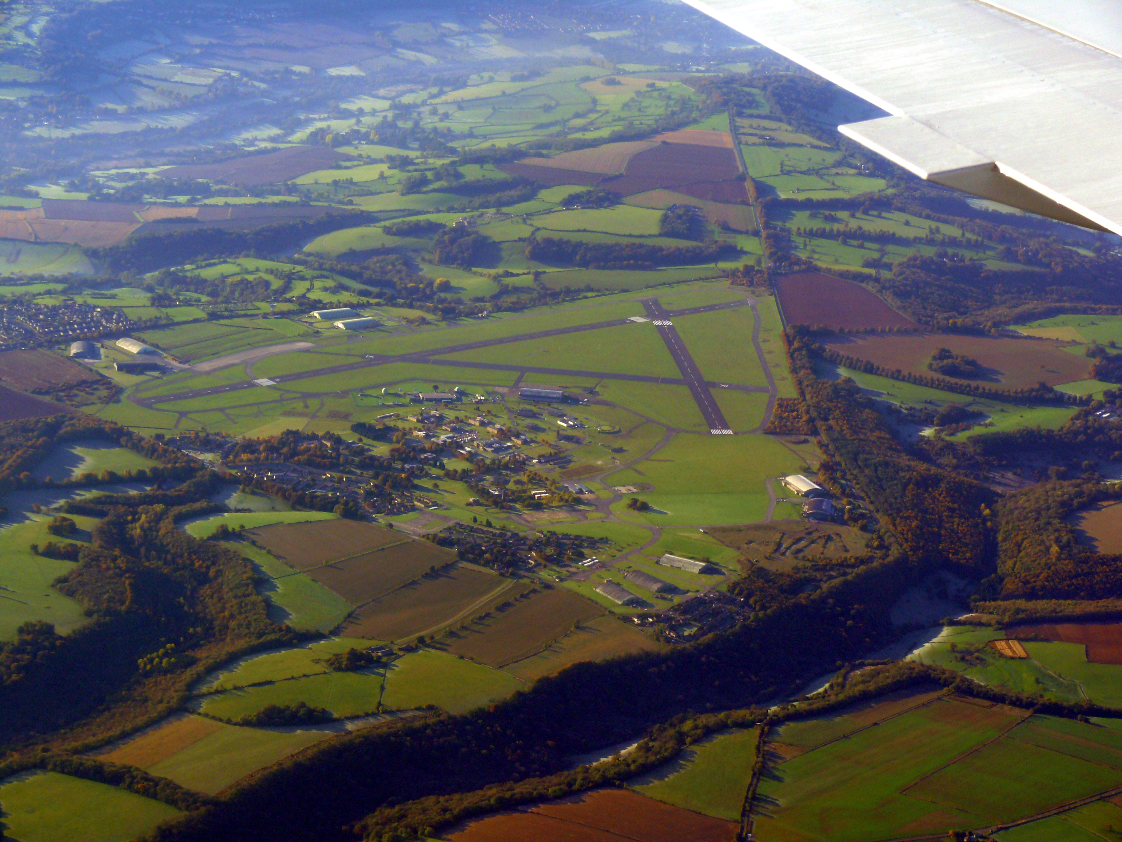
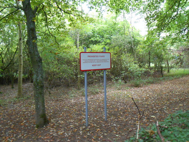
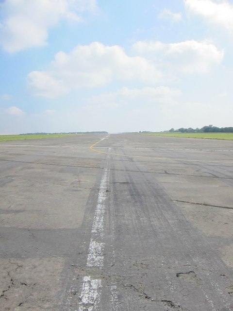
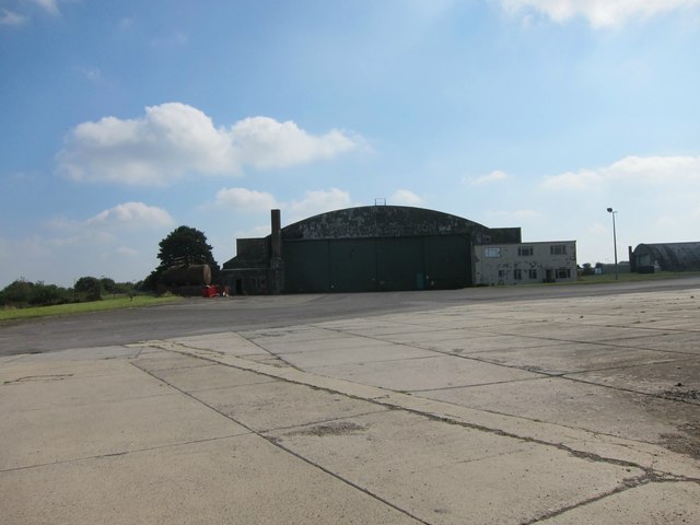
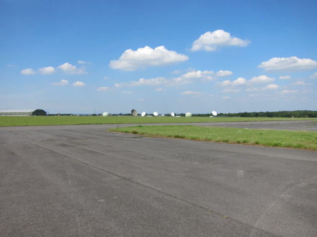
Colerne Airfield
Colerne Airfield (ICAO: EGUO), now known as Azimghur Barracks, is a British Army facility just north-west of the village of Colerne, Wiltshire, England...
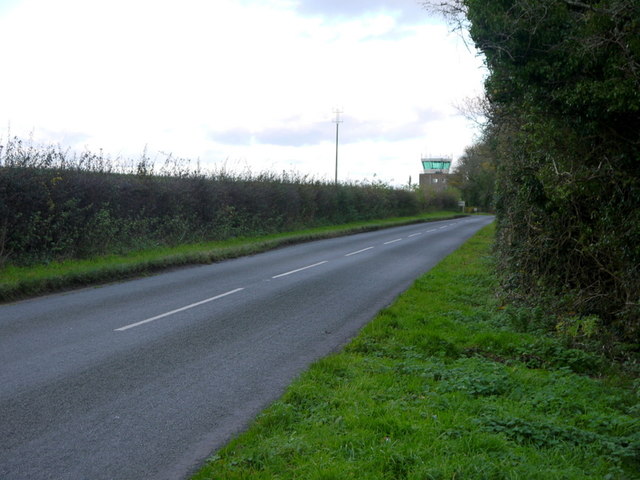
RAF Colerne
Royal Air Force Colerne or more simply RAF Colerne is a former Royal Air Force station which was on the outskirts of the village of Colerne in Wiltshire...

Colerne
Colerne is a village and civil parish in north Wiltshire, England. The village is about 3.5 miles (6 km) west of the town of Corsham and 7 miles (11 km...

Ditteridge
Ditteridge is a village in the civil parish of Box, Wiltshire, England. It is about 0.8 miles (1.3 km) northwest of Box village and 3.5 miles (6 km) west...

Frank's Wood
Frank's Wood is a woodland in Wiltshire, England, on the north-east edge of Colerne village. It covers an area of 1.96 hectares (4.84 acres). It is owned...

Box railway station
Box railway station served the town of Box in Wiltshire, England. The station was on the main Great Western Railway line from London to Bristol and was...

Ashley, Wiltshire
Ashley is a small village in the civil parish of Box in Wiltshire, England. Its nearest town is Corsham, which lies approximately 3.5 miles (5.6 km) east...
Box (Mill Lane) Halt railway station
Box (Mill Lane) Halt railway station served the town of Box in Wiltshire, England. The station was on the main Great Western Railway line from London to...
Nearby Amenities
Located within 500m of 51.43198,-2.2796197Have you been to Breach Wood?
Leave your review of Breach Wood below (or comments, questions and feedback).