West Wood
Wood, Forest in Wiltshire
England
West Wood
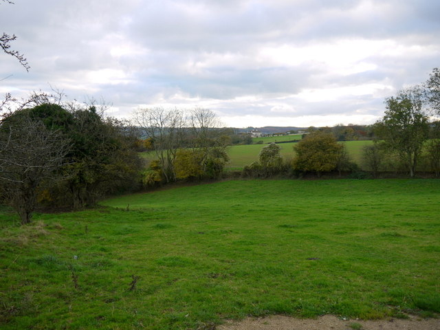
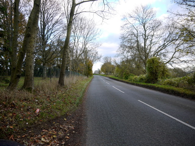
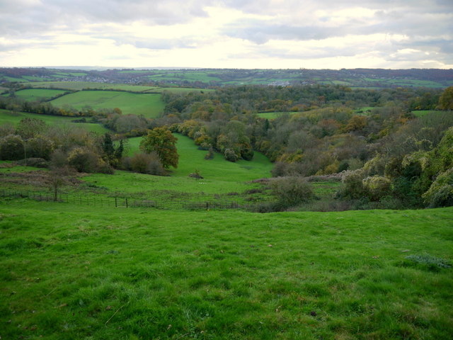
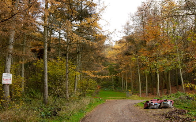
West Wood is a large expanse of forest located in the county of Wiltshire, England. Covering an area of approximately 3,000 acres, it is one of the largest areas of woodland in the region. The wood is situated on the western edge of the county, near the town of Marlborough.
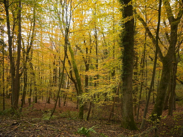
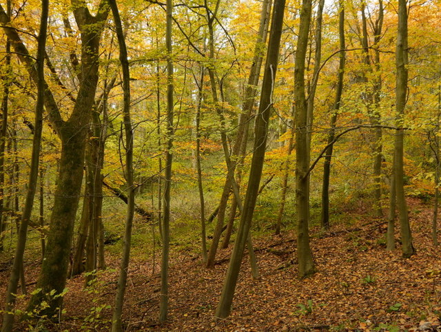
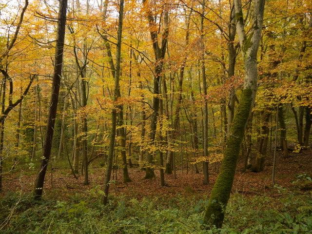
West Wood is primarily composed of broadleaf trees, including oak, beech, and ash, which create a rich and diverse habitat for wildlife. The forest is managed by the Forestry Commission, ensuring the conservation and sustainable use of its resources.
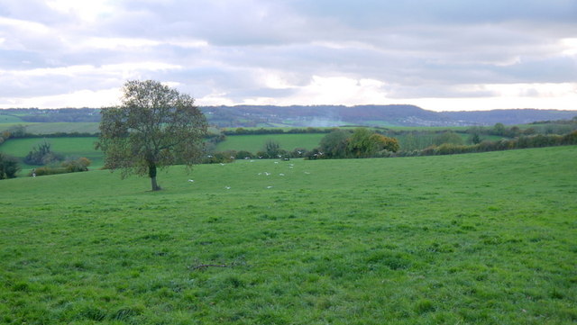
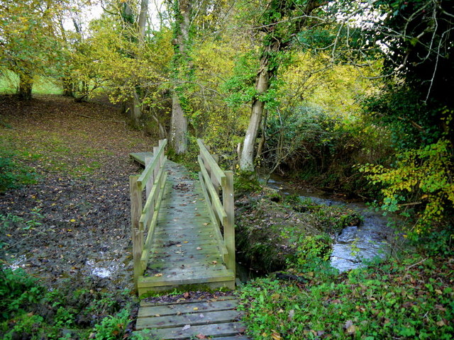
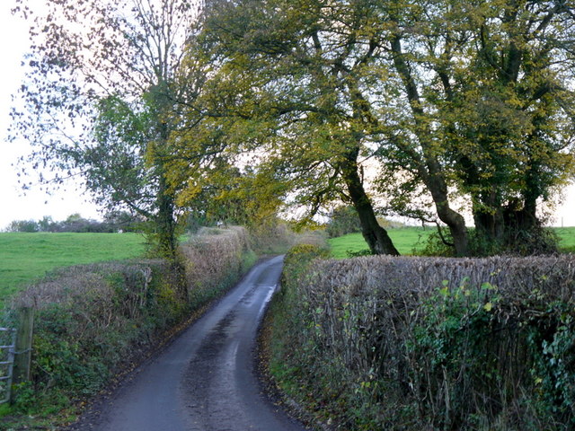
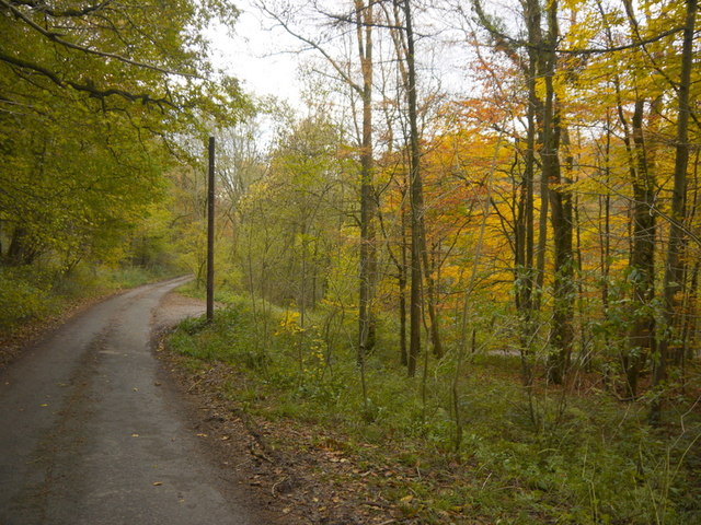
The wood offers a range of recreational activities for visitors, including walking trails, cycling paths, and horse riding routes. These trails provide an opportunity to explore the peaceful and tranquil surroundings, while also enjoying the beauty of the natural landscape. Birdwatching is another popular activity in West Wood, with a variety of species including woodpeckers, owls, and various songbirds inhabiting the area.
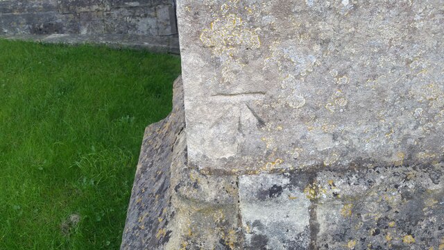
In addition to its natural beauty, West Wood also has historical significance. It is believed that the forest has been in existence since medieval times, and remnants of ancient earthworks can still be found within its boundaries. The wood has also played a role in the timber industry, with logging activities taking place in the past.
Overall, West Wood in Wiltshire is a picturesque and ecologically important forest, providing a haven for wildlife and offering recreational opportunities for visitors to enjoy nature at its finest.
If you have any feedback on the listing, please let us know in the comments section below.
West Wood Images
Images are sourced within 2km of 51.42963/-2.2807561 or Grid Reference ST8070. Thanks to Geograph Open Source API. All images are credited.

West Wood is located at Grid Ref: ST8070 (Lat: 51.42963, Lng: -2.2807561)
Unitary Authority: Wiltshire
Police Authority: Wiltshire
What 3 Words
///prep.motivator.stream. Near Colerne, Wiltshire
Nearby Locations
Related Wikis
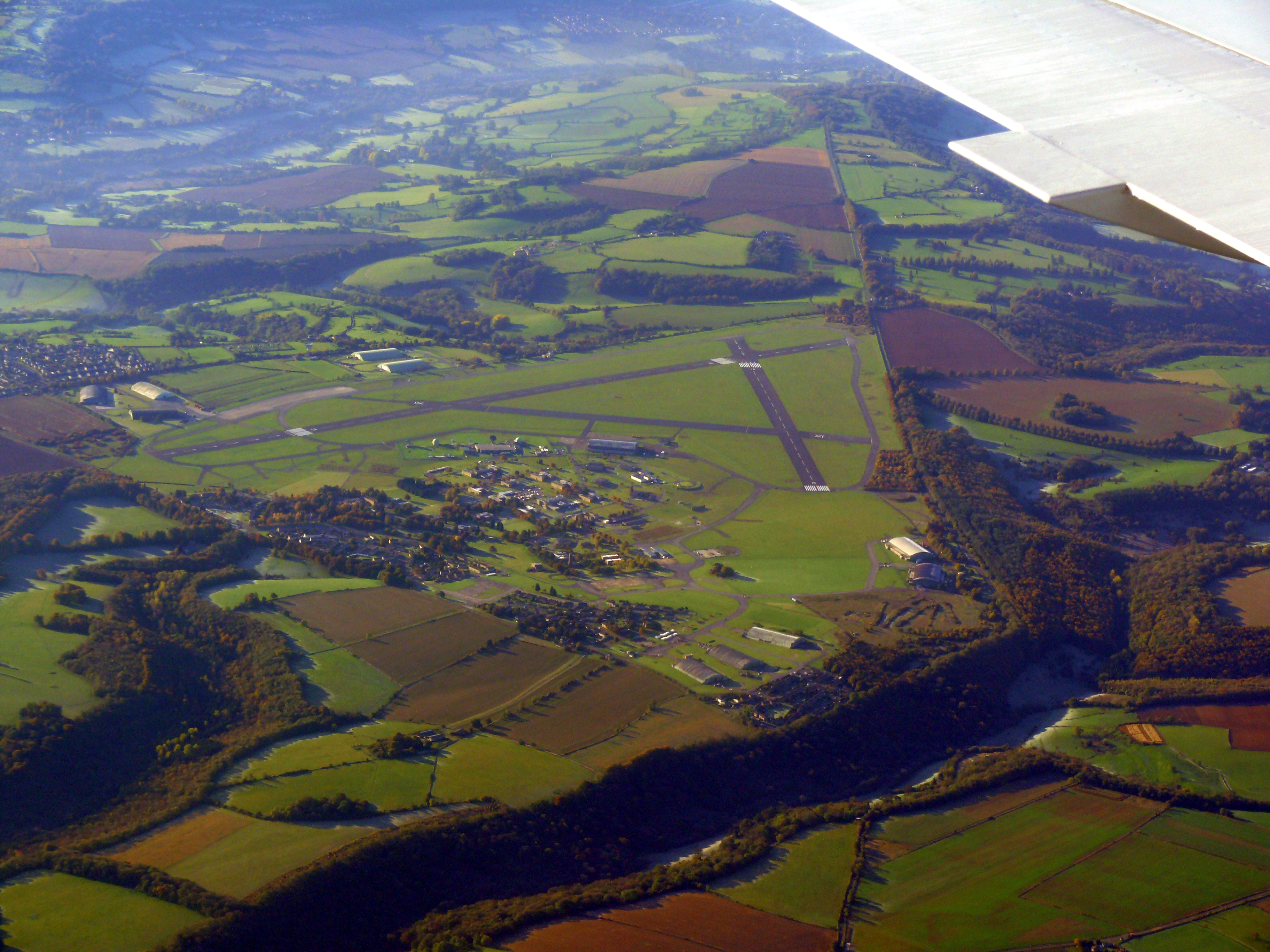
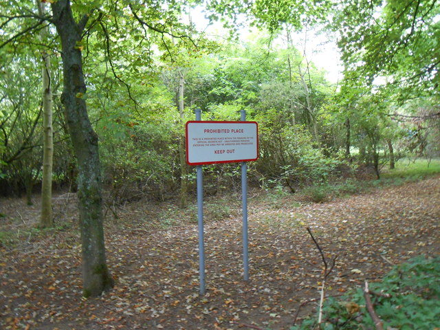
Colerne Airfield
Colerne Airfield (ICAO: EGUO), now known as Azimghur Barracks, is a British Army facility just north-west of the village of Colerne, Wiltshire, England...
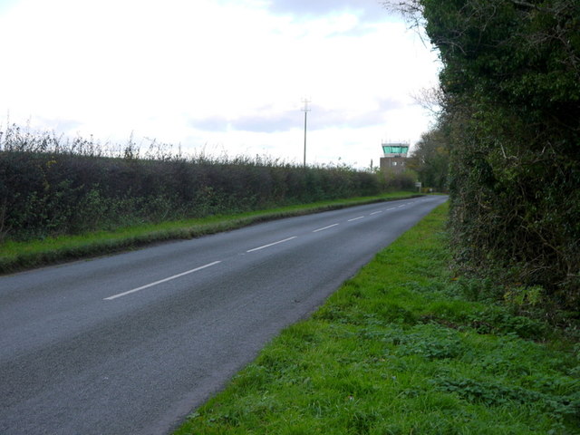
RAF Colerne
Royal Air Force Colerne or more simply RAF Colerne is a former Royal Air Force station which was on the outskirts of the village of Colerne in Wiltshire...

Ditteridge
Ditteridge is a village in the civil parish of Box, Wiltshire, England. It is about 0.8 miles (1.3 km) northwest of Box village and 3.5 miles (6 km) west...

Colerne
Colerne is a village and civil parish in north Wiltshire, England. The village is about 3.5 miles (6 km) west of the town of Corsham and 7 miles (11 km...

Box railway station
Box railway station served the town of Box in Wiltshire, England. The station was on the main Great Western Railway line from London to Bristol and was...

Ashley, Wiltshire
Ashley is a small village in the civil parish of Box in Wiltshire, England. Its nearest town is Corsham, which lies approximately 3.5 miles (5.6 km) east...

Frank's Wood
Frank's Wood is a woodland in Wiltshire, England, on the north-east edge of Colerne village. It covers an area of 1.96 hectares (4.84 acres). It is owned...
Box (Mill Lane) Halt railway station
Box (Mill Lane) Halt railway station served the town of Box in Wiltshire, England. The station was on the main Great Western Railway line from London to...
Nearby Amenities
Located within 500m of 51.42963,-2.2807561Have you been to West Wood?
Leave your review of West Wood below (or comments, questions and feedback).