Draught Wood
Wood, Forest in Wiltshire
England
Draught Wood
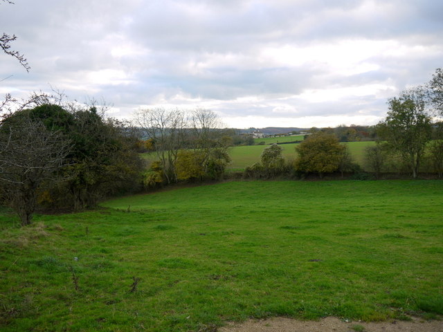
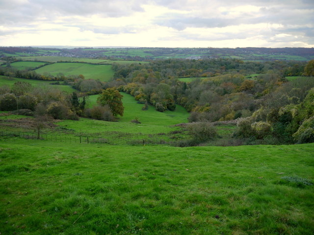
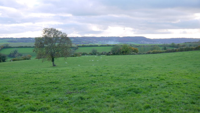
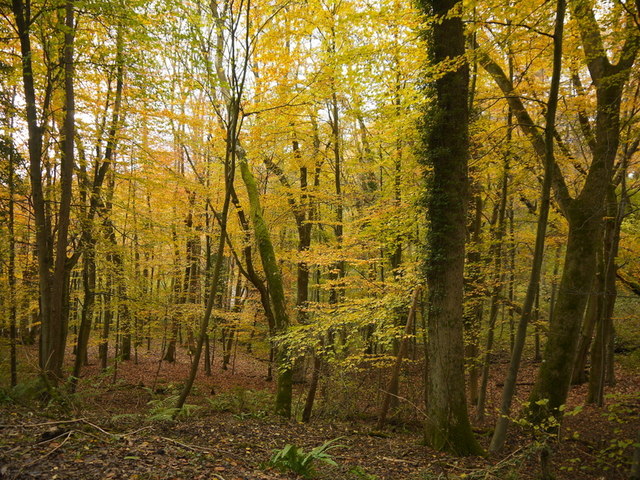
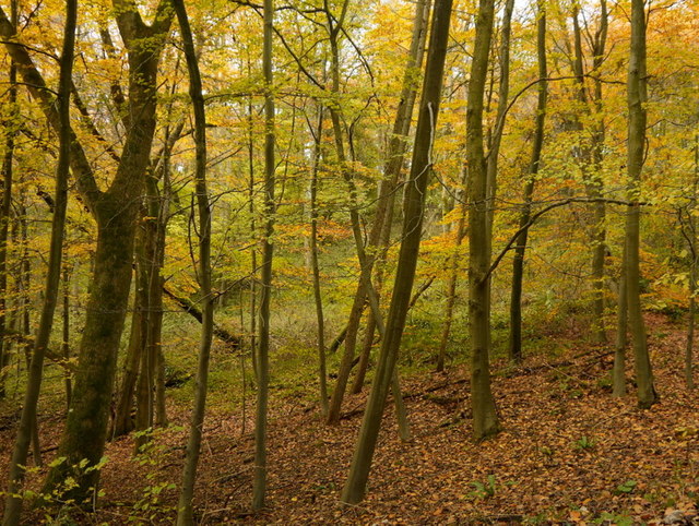
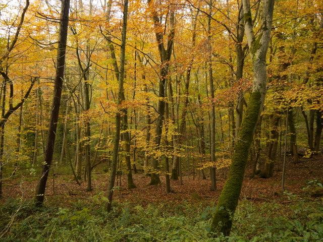
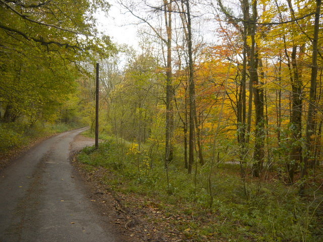
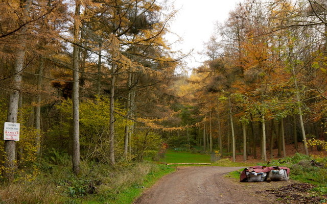
Draught Wood is a picturesque forest located in the county of Wiltshire, England. Covering an area of approximately 50 hectares, the wood is a haven for nature enthusiasts and those seeking a peaceful retreat.
The wood is primarily composed of broadleaf trees, with oak, beech, and ash being the dominant species. These majestic trees create a dense canopy, providing shade and shelter for a diverse range of flora and fauna. Bluebells, primroses, and wood anemones carpet the forest floor during the spring, adding vibrant bursts of color to the landscape.
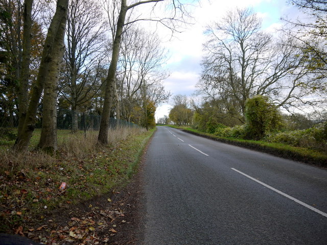
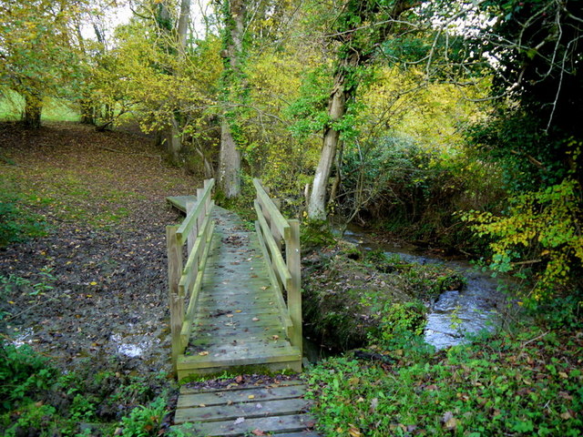
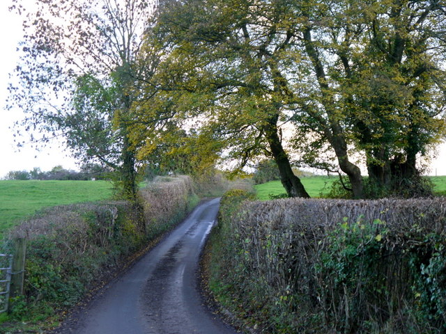
Draught Wood is crisscrossed with a network of well-maintained footpaths, making it accessible for walkers and hikers of all levels of experience. These paths wind through the forest, allowing visitors to explore the wood's hidden nooks and crannies, discover tranquil streams, and observe the abundant wildlife. Birdwatchers will be delighted by the sight of woodpeckers, nuthatches, and various species of owls that call this forest home.
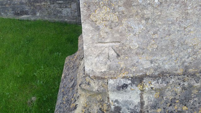
The wood also has a rich historical significance, with remnants of old charcoal platforms and charcoal burning hearths scattered throughout. These remnants serve as a reminder of the area's past as a source of fuel for local industries.
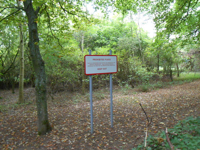
Visitors to Draught Wood are encouraged to follow the principles of Leave No Trace and respect the natural environment. The wood offers a peaceful and serene escape from the hustle and bustle of everyday life, providing an opportunity to reconnect with nature in the heart of Wiltshire.
If you have any feedback on the listing, please let us know in the comments section below.
Draught Wood Images
Images are sourced within 2km of 51.431102/-2.2821029 or Grid Reference ST8070. Thanks to Geograph Open Source API. All images are credited.

Draught Wood is located at Grid Ref: ST8070 (Lat: 51.431102, Lng: -2.2821029)
Unitary Authority: Wiltshire
Police Authority: Wiltshire
What 3 Words
///stilted.passages.looks. Near Colerne, Wiltshire
Nearby Locations
Related Wikis
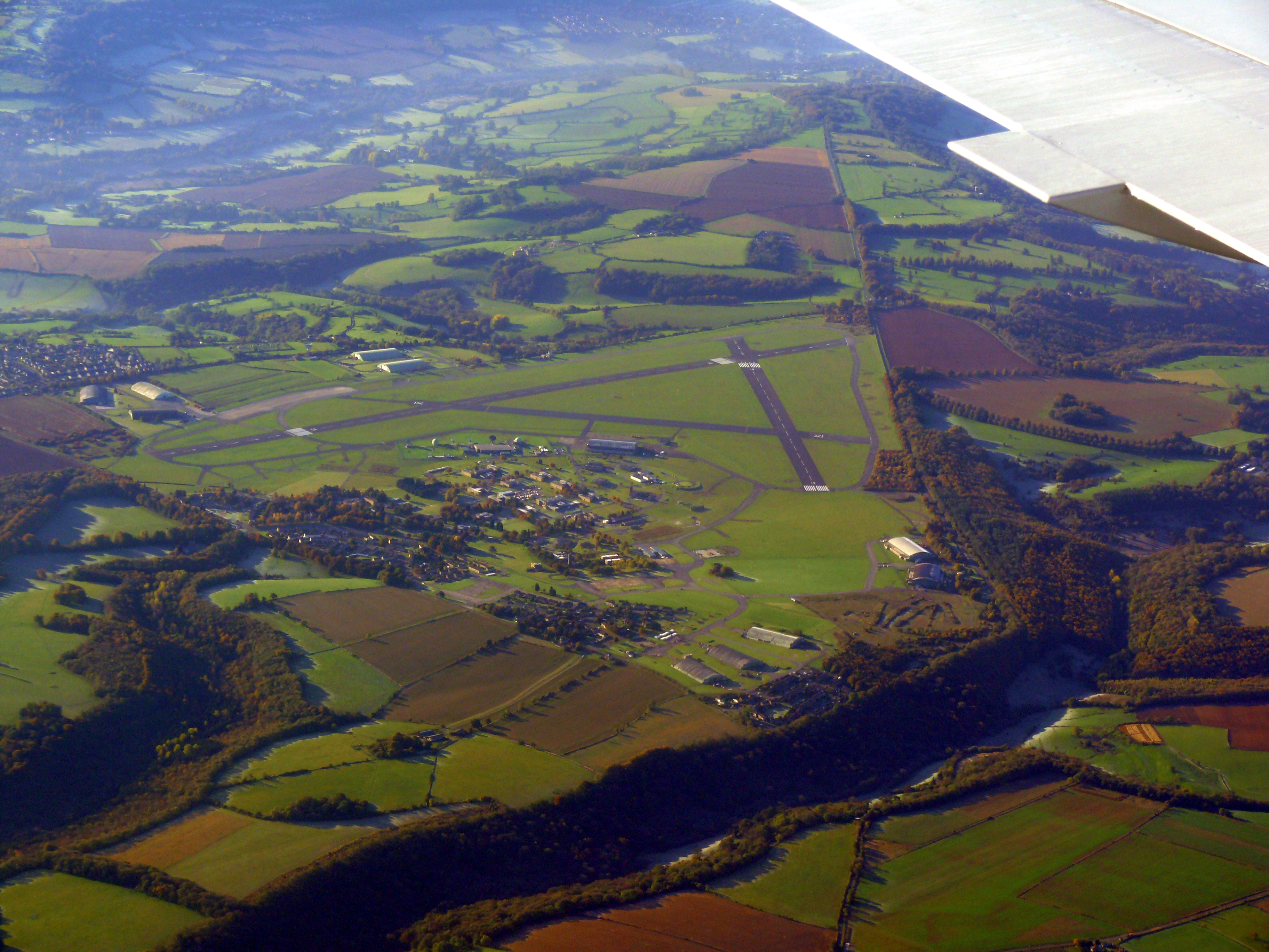
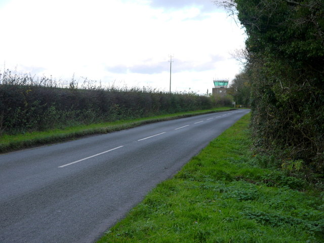
Colerne Airfield
Colerne Airfield (ICAO: EGUO), now known as Azimghur Barracks, is a British Army facility just north-west of the village of Colerne, Wiltshire, England...
RAF Colerne
Royal Air Force Colerne or more simply RAF Colerne is a former Royal Air Force station which was on the outskirts of the village of Colerne in Wiltshire...

Ditteridge
Ditteridge is a village in the civil parish of Box, Wiltshire, England. It is about 0.8 miles (1.3 km) northwest of Box village and 3.5 miles (6 km) west...

Colerne
Colerne is a village and civil parish in north Wiltshire, England. The village is about 3.5 miles (6 km) west of the town of Corsham and 7 miles (11 km...

Box railway station
Box railway station served the town of Box in Wiltshire, England. The station was on the main Great Western Railway line from London to Bristol and was...

Frank's Wood
Frank's Wood is a woodland in Wiltshire, England, on the north-east edge of Colerne village. It covers an area of 1.96 hectares (4.84 acres). It is owned...

Ashley, Wiltshire
Ashley is a small village in the civil parish of Box in Wiltshire, England. Its nearest town is Corsham, which lies approximately 3.5 miles (5.6 km) east...
Box (Mill Lane) Halt railway station
Box (Mill Lane) Halt railway station served the town of Box in Wiltshire, England. The station was on the main Great Western Railway line from London to...
Nearby Amenities
Located within 500m of 51.431102,-2.2821029Have you been to Draught Wood?
Leave your review of Draught Wood below (or comments, questions and feedback).