Ryder's Wood
Wood, Forest in Wiltshire
England
Ryder's Wood
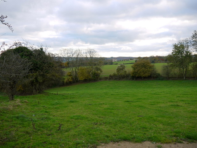
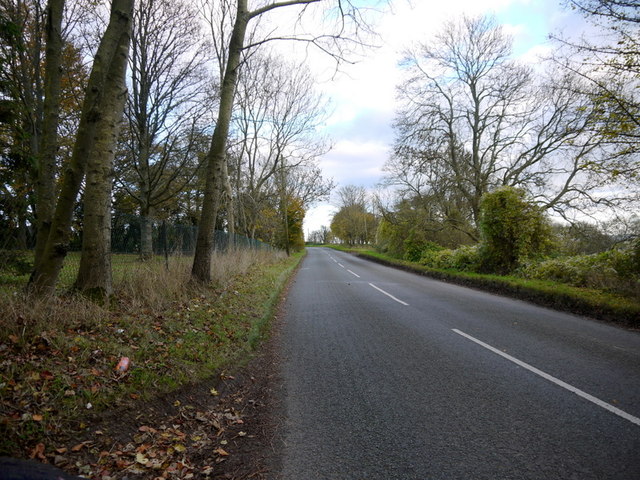
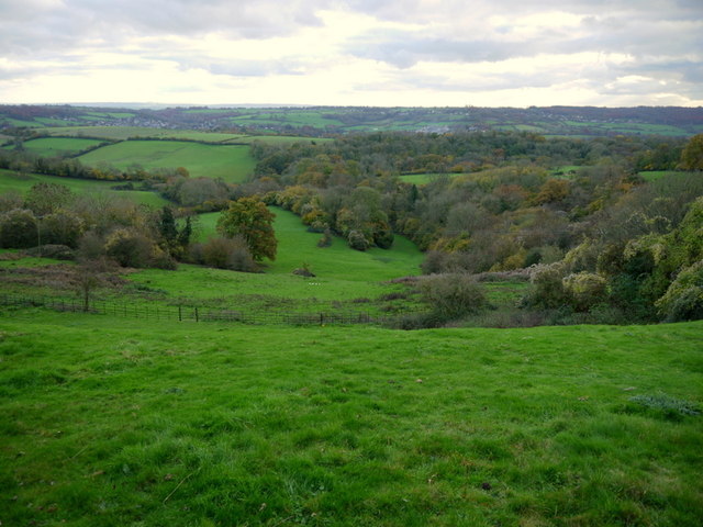
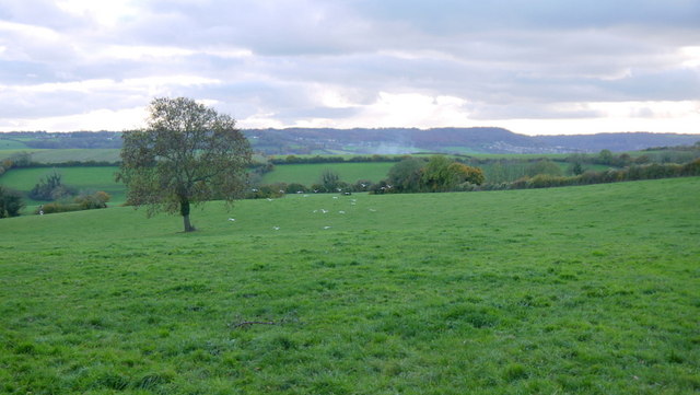
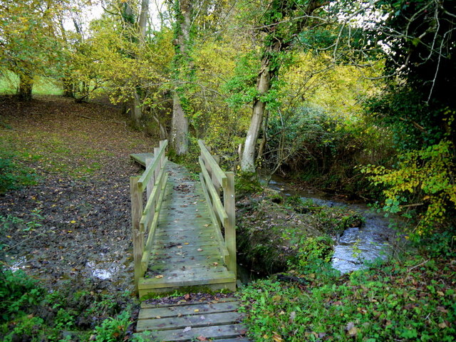
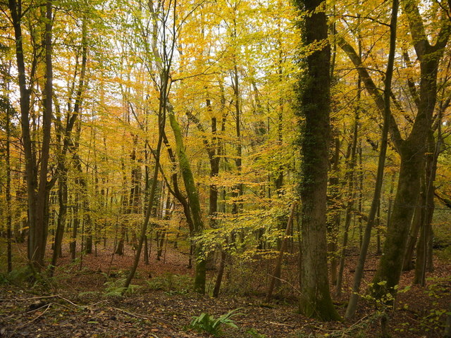
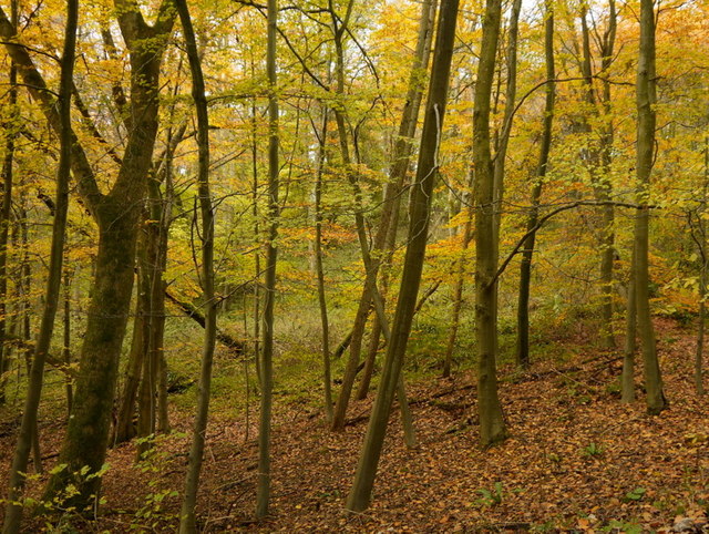
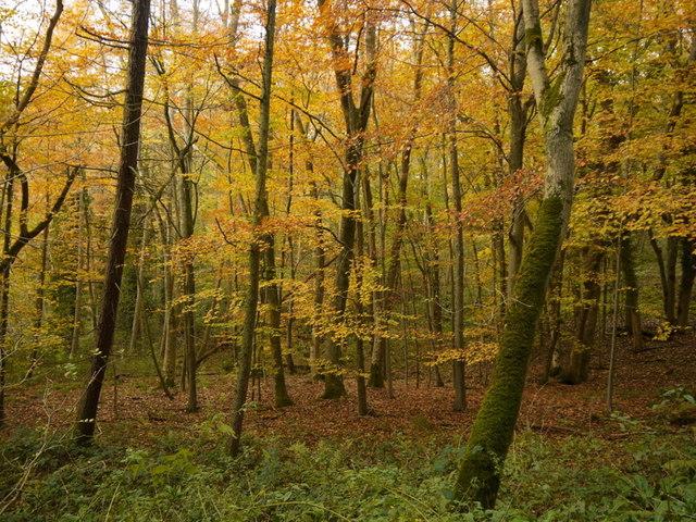
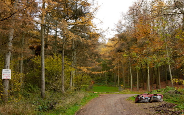
Ryder's Wood is a picturesque woodland located in the county of Wiltshire, England. Covering an area of approximately 100 hectares, the wood is nestled within the beautiful landscape of the Pewsey Vale. It is owned and managed by the Woodland Trust, a prominent conservation charity in the United Kingdom.
The wood is predominantly composed of native broadleaf trees, including oak, ash, and beech, which create a rich and diverse habitat for a wide range of flora and fauna. The canopy of the wood forms a dense cover, providing shelter and nesting sites for numerous bird species, such as woodpeckers, owls, and thrushes. Additionally, the woodland floor is adorned with a vibrant carpet of bluebells and wildflowers during the spring season.
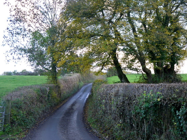
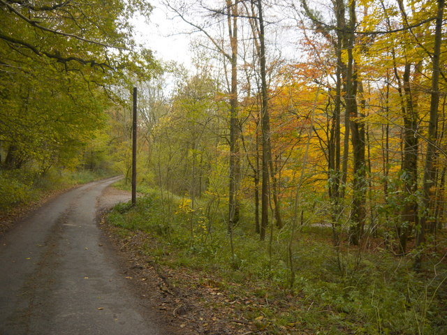
Ryder's Wood is not only a haven for wildlife but also offers various recreational opportunities for visitors. The wood features a network of well-maintained footpaths, allowing visitors to explore the woodland at their own pace. The peaceful atmosphere and natural beauty of the wood make it a popular destination for walking, birdwatching, and photography.
The Woodland Trust actively manages Ryder's Wood to enhance its biodiversity and protect its ecological importance. This includes regular coppicing, a traditional woodland management technique that promotes the growth of new trees and encourages the flourishing of wildlife.
Overall, Ryder's Wood is a cherished natural asset in Wiltshire, providing a tranquil retreat for nature enthusiasts and serving as a vital habitat for a wide range of plant and animal species.
If you have any feedback on the listing, please let us know in the comments section below.
Ryder's Wood Images
Images are sourced within 2km of 51.432801/-2.2783157 or Grid Reference ST8070. Thanks to Geograph Open Source API. All images are credited.

Ryder's Wood is located at Grid Ref: ST8070 (Lat: 51.432801, Lng: -2.2783157)
Unitary Authority: Wiltshire
Police Authority: Wiltshire
What 3 Words
///canoe.heaven.between. Near Colerne, Wiltshire
Nearby Locations
Related Wikis
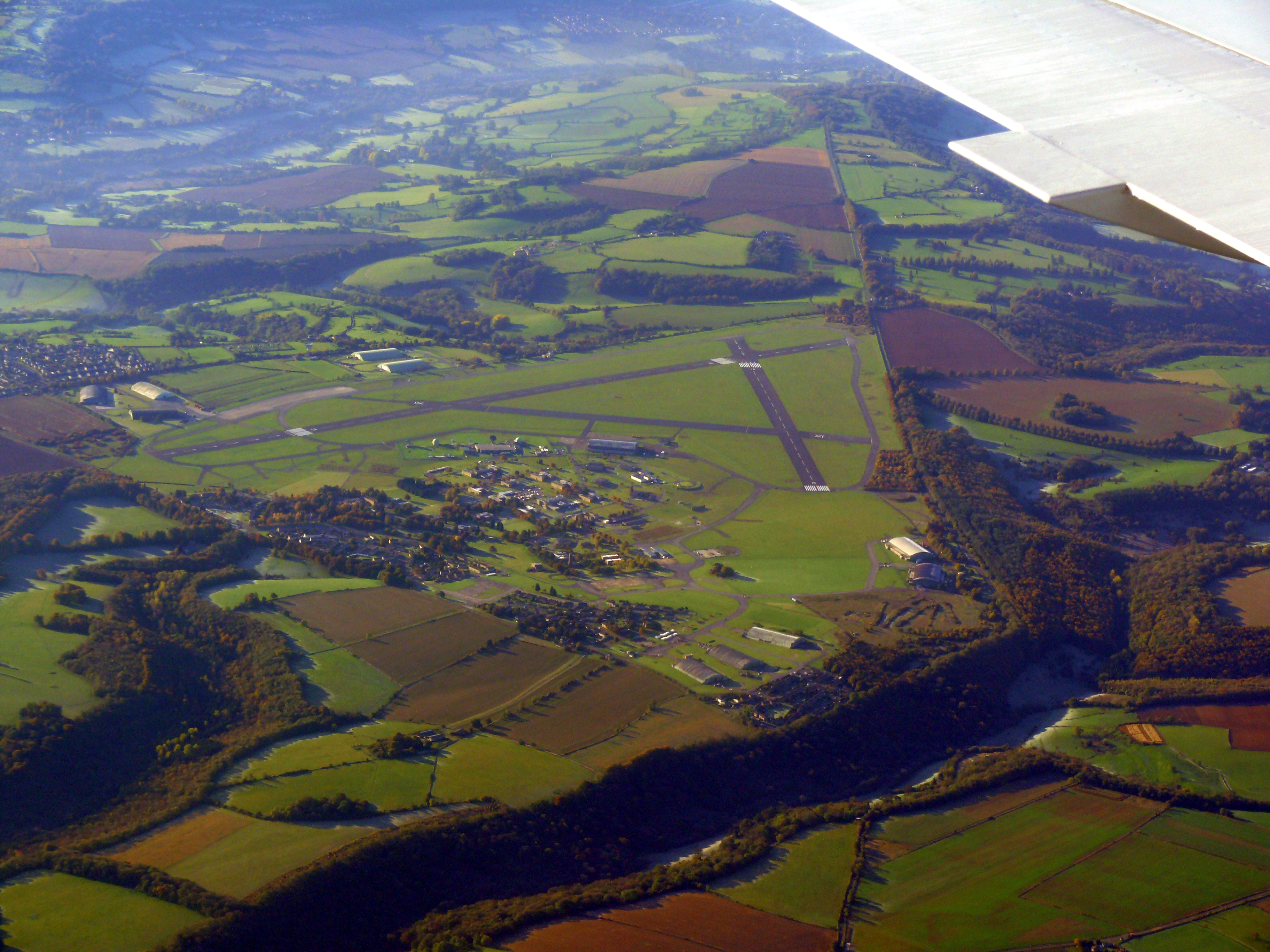
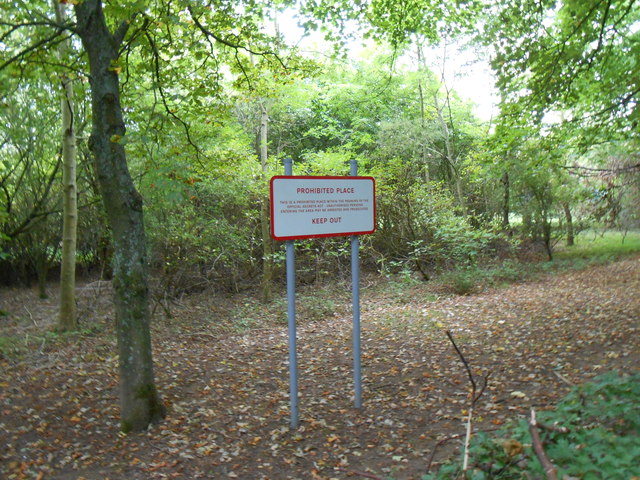
Colerne Airfield
Colerne Airfield (ICAO: EGUO), now known as Azimghur Barracks, is a British Army facility just north-west of the village of Colerne, Wiltshire, England...
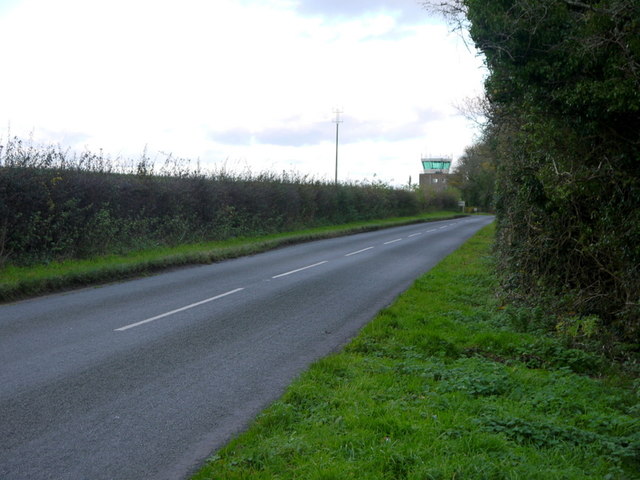
RAF Colerne
Royal Air Force Colerne or more simply RAF Colerne is a former Royal Air Force station which was on the outskirts of the village of Colerne in Wiltshire...

Colerne
Colerne is a village and civil parish in north Wiltshire, England. The village is about 3.5 miles (6 km) west of the town of Corsham and 7 miles (11 km...

Ditteridge
Ditteridge is a village in the civil parish of Box, Wiltshire, England. It is about 0.8 miles (1.3 km) northwest of Box village and 3.5 miles (6 km) west...

Frank's Wood
Frank's Wood is a woodland in Wiltshire, England, on the north-east edge of Colerne village. It covers an area of 1.96 hectares (4.84 acres). It is owned...

Box railway station
Box railway station served the town of Box in Wiltshire, England. The station was on the main Great Western Railway line from London to Bristol and was...

Ashley, Wiltshire
Ashley is a small village in the civil parish of Box in Wiltshire, England. Its nearest town is Corsham, which lies approximately 3.5 miles (5.6 km) east...
Box (Mill Lane) Halt railway station
Box (Mill Lane) Halt railway station served the town of Box in Wiltshire, England. The station was on the main Great Western Railway line from London to...
Nearby Amenities
Located within 500m of 51.432801,-2.2783157Have you been to Ryder's Wood?
Leave your review of Ryder's Wood below (or comments, questions and feedback).