Abbotscombe Wood
Wood, Forest in Wiltshire
England
Abbotscombe Wood
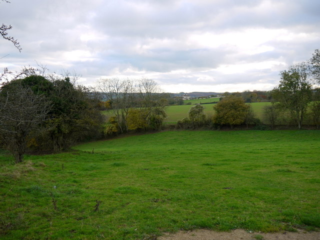
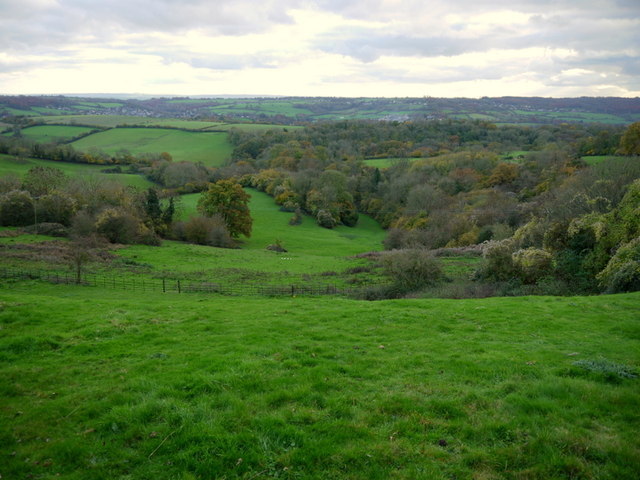
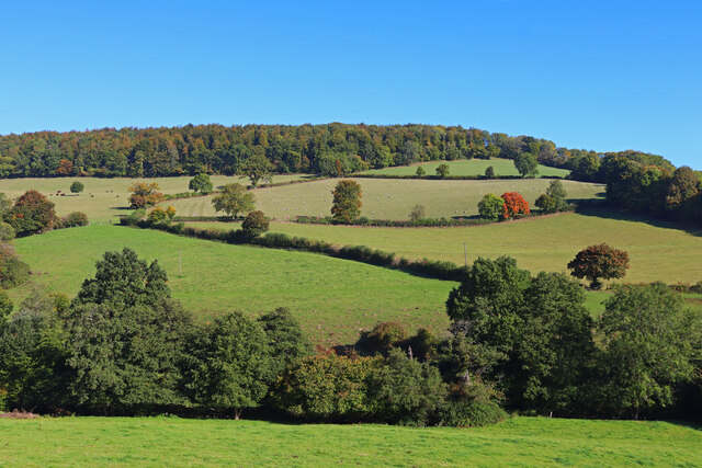
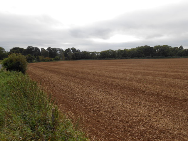
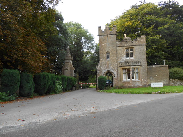
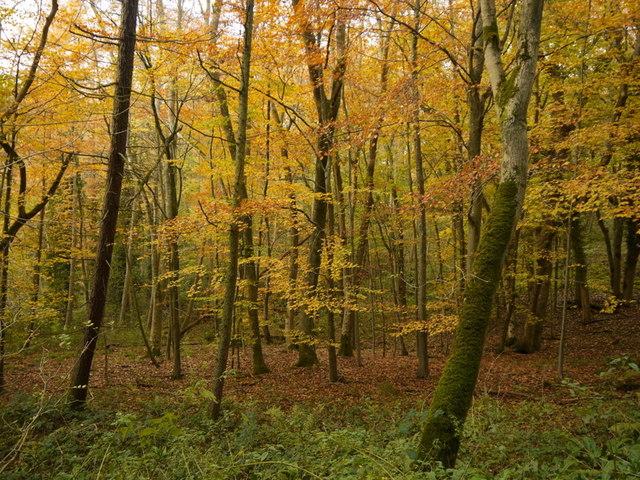
Abbotscombe Wood is a picturesque woodland located in Wiltshire, England. Covering an area of approximately 200 acres, it is situated near the small village of West Tisbury. The wood is part of the Cranborne Chase and West Wiltshire Downs Area of Outstanding Natural Beauty.
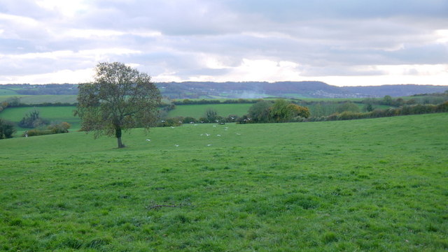
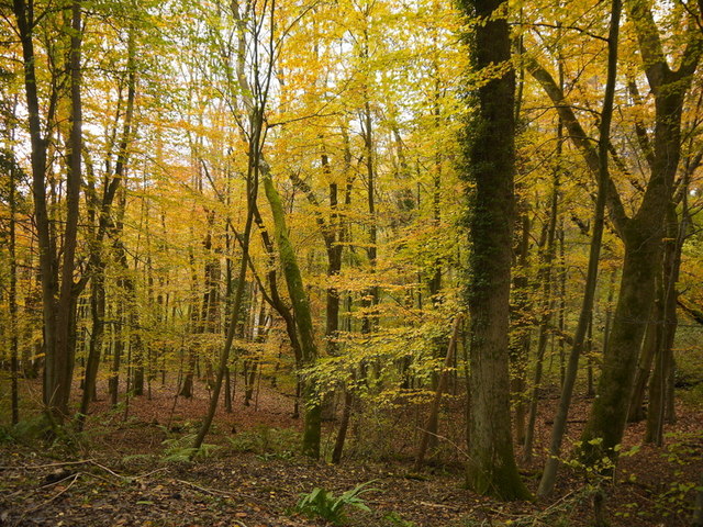
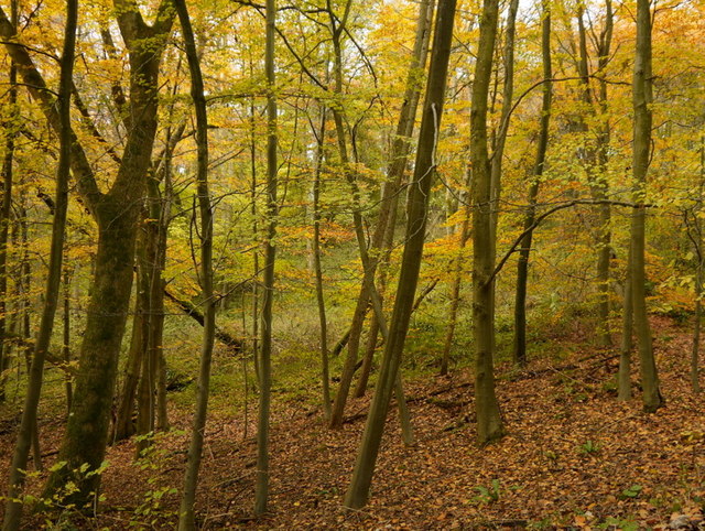
This ancient woodland is predominantly composed of a mixture of broadleaf trees, including oak, beech, ash, and hazel. The dense canopy provides a habitat for a diverse range of flora and fauna, making it a popular spot for nature enthusiasts and walkers. Bluebells carpet the forest floor in the spring, creating a stunning display of color.
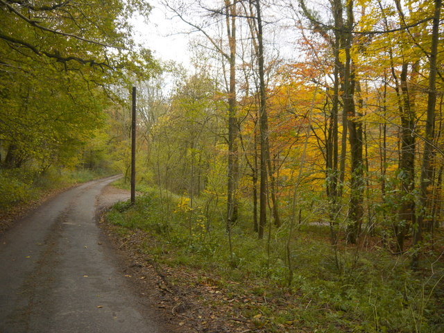
The wood is crisscrossed with several well-maintained footpaths, allowing visitors to explore its beauty and tranquility. There are also a number of picnic areas and benches scattered throughout, providing the perfect opportunity to relax and soak in the peaceful surroundings.
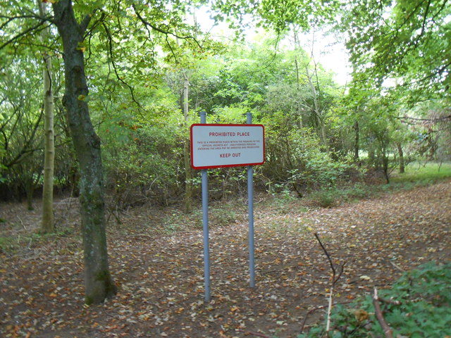
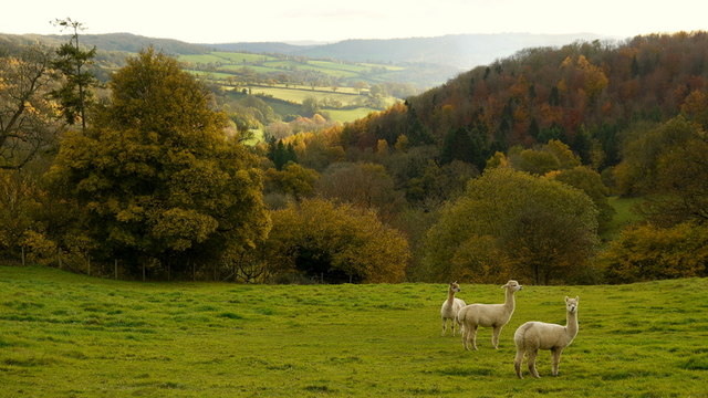
Abbotscombe Wood is home to a variety of wildlife, including deer, badgers, foxes, and numerous bird species. The wood is a designated Site of Special Scientific Interest due to its biological and ecological importance.
Managed by the Woodland Trust, Abbotscombe Wood is open to the public all year round. Visitors are encouraged to follow the designated paths and respect the natural environment. The wood offers a wonderful escape from the hustle and bustle of everyday life, providing a sanctuary for those seeking a connection with nature.
If you have any feedback on the listing, please let us know in the comments section below.
Abbotscombe Wood Images
Images are sourced within 2km of 51.432519/-2.2871176 or Grid Reference ST8070. Thanks to Geograph Open Source API. All images are credited.
Abbotscombe Wood is located at Grid Ref: ST8070 (Lat: 51.432519, Lng: -2.2871176)
Unitary Authority: Wiltshire
Police Authority: Wiltshire
What 3 Words
///canyons.radically.shorten. Near Colerne, Wiltshire
Nearby Locations
Related Wikis
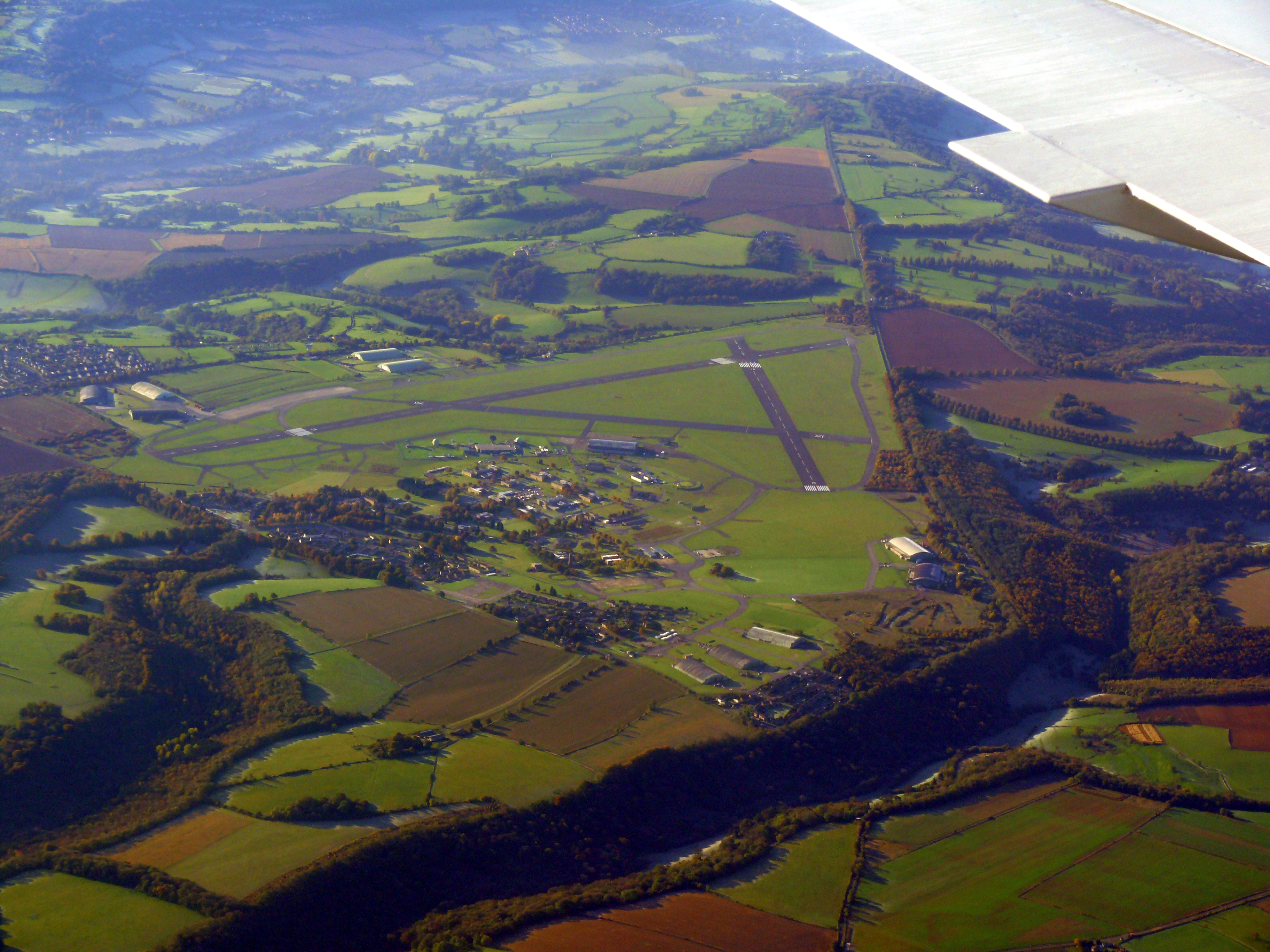
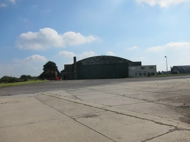
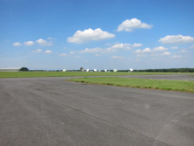
Colerne Airfield
Colerne Airfield (ICAO: EGUO), now known as Azimghur Barracks, is a British Army facility just north-west of the village of Colerne, Wiltshire, England...
RAF Colerne
Royal Air Force Colerne or more simply RAF Colerne is a former Royal Air Force station which was on the outskirts of the village of Colerne in Wiltshire...

Colerne
Colerne is a village and civil parish in north Wiltshire, England. The village is about 3.5 miles (6 km) west of the town of Corsham and 7 miles (11 km...

Ditteridge
Ditteridge is a village in the civil parish of Box, Wiltshire, England. It is about 0.8 miles (1.3 km) northwest of Box village and 3.5 miles (6 km) west...

Box railway station
Box railway station served the town of Box in Wiltshire, England. The station was on the main Great Western Railway line from London to Bristol and was...
St Catherine, Somerset
St Catherine is a small, but very spread out, rural village within the civil parish of Batheaston in Bath and North East Somerset and Marshfield Parish...

Frank's Wood
Frank's Wood is a woodland in Wiltshire, England, on the north-east edge of Colerne village. It covers an area of 1.96 hectares (4.84 acres). It is owned...
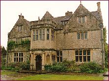
St Catherine's Court
St Catherine's Court is a manor house in a secluded valley north of Bath, Somerset, England. It is a Grade I listed property. The gardens are Grade II...
Nearby Amenities
Located within 500m of 51.432519,-2.2871176Have you been to Abbotscombe Wood?
Leave your review of Abbotscombe Wood below (or comments, questions and feedback).