Holehouse Wood

Wood, Forest in Northumberland

England

Holehouse Wood

The Old School House The Old School House at Keenley is at a crossroads and seen here along the road to the west-south-west; it dates from 1875 and is a listed building. The road is also part of the route of Isaac's Tea Trail.
The Old School House Credit: Trevor Littlewood

Holehouse Wood is a picturesque forest located in the county of Northumberland, England. Covering an area of approximately 100 acres, this wood is known for its natural beauty and diverse wildlife.

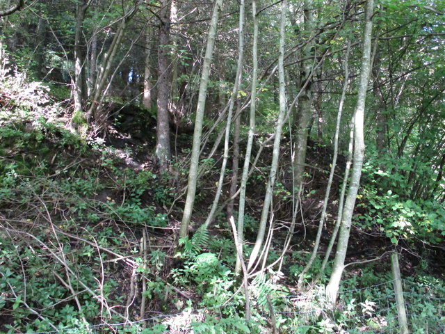
Situated in the heart of the Northumberland countryside, Holehouse Wood offers visitors a tranquil and peaceful environment. The wood is primarily composed of deciduous trees, including oak, beech, and ash, which create a stunning canopy of foliage during the spring and summer months. In autumn, the wood is transformed into a kaleidoscope of colors as the leaves change, attracting numerous photographers and nature enthusiasts.

The wood is crisscrossed with well-maintained footpaths, allowing visitors to explore its hidden gems at their own pace. These paths wind through the forest, leading visitors to various points of interest, including a small pond and a beautiful clearing that offers breathtaking views of the surrounding landscape.

Holehouse Wood is also home to a wide array of wildlife. Birdwatchers flock to the area to spot various species, such as woodpeckers, owls, and finches. The wood is also inhabited by numerous mammals, including deer, foxes, and badgers, making it an ideal location for wildlife enthusiasts.

Due to its natural beauty and biodiversity, Holehouse Wood has been designated as a Site of Special Scientific Interest (SSSI). This designation ensures that the wood is protected and preserved for future generations to enjoy.

In conclusion, Holehouse Wood in Northumberland offers visitors a serene and enchanting experience. With its stunning scenery, diverse wildlife, and well-maintained footpaths, it is a must-visit destination for nature lovers and those seeking a peaceful retreat.

If you have any feedback on the listing, please let us know in the comments section below.

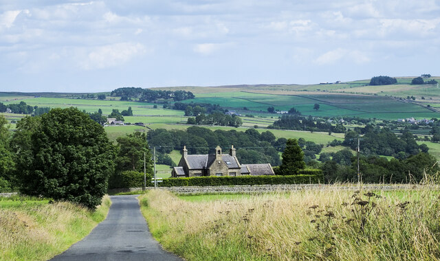
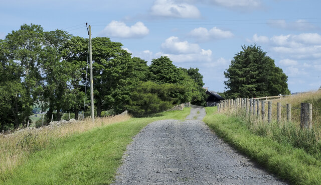
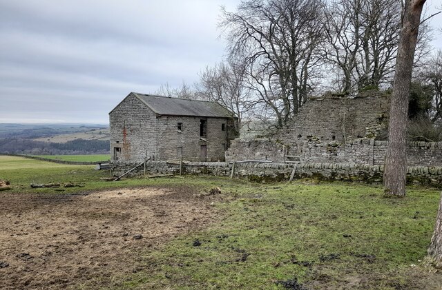
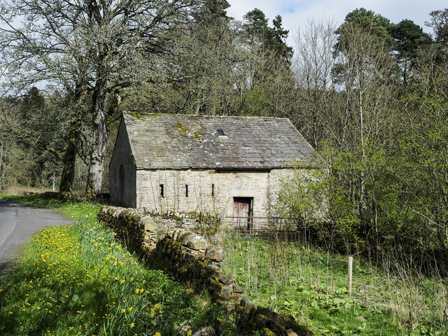
Holehouse Wood Images

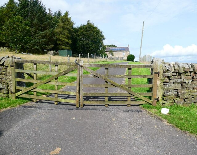
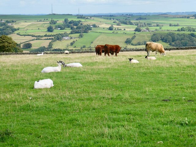
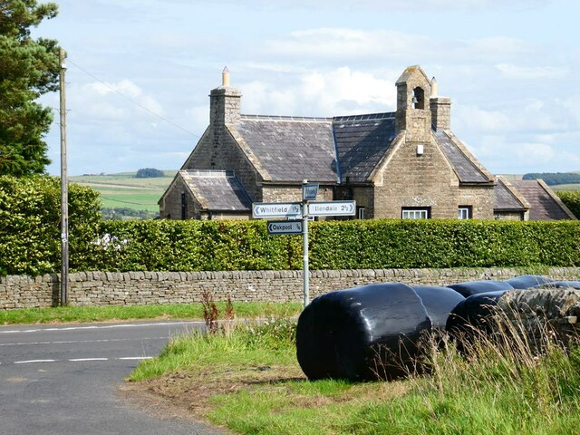
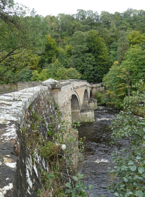
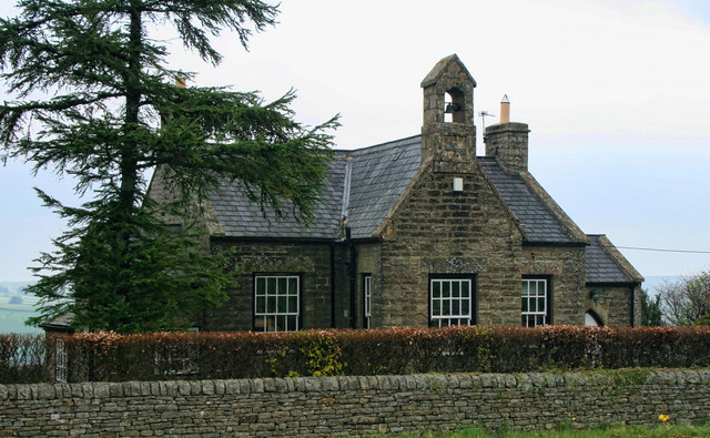
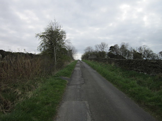
Images are sourced within 2km of 54.915676/-2.3033024 or Grid Reference NY8057. Thanks to Geograph Open Source API. All images are credited.

The Old School House The Old School House at Keenley is at a crossroads and seen here along the road to the west-south-west; it dates from 1875 and is a listed building. The road is also part of the route of Isaac's Tea Trail.
The Old School House
The Old School House at Keenley is at a crossroads and seen here along the road to the west-south-west; it dates from 1875 and is a listed building. The road is also part of the route of Isaac's Tea Trail.
Farm access road for Harlow Bower The road access for the farm is some distance from the nearest public road which lies in the direction of the view, probably a half kilometre from Harlow Bower which is behind the camera position. The road is also a public footpath.
Farm access road for Harlow Bower
The road access for the farm is some distance from the nearest public road which lies in the direction of the view, probably a half kilometre from Harlow Bower which is behind the camera position. The road is also a public footpath.
Farm access road approaching Keenley Keenley is a small, dispersed community between the East and West Allendales. The road acts as the access route for the farm at Harlow Bower which lies behind the camera position; it's also a public footpath.
Farm access road approaching Keenley
Keenley is a small, dispersed community between the East and West Allendales. The road acts as the access route for the farm at Harlow Bower which lies behind the camera position; it's also a public footpath.
Derelict Outbuildings at Keenleywell House A couple of derelict outbuildings at Keenleywell House.
Derelict Outbuildings at Keenleywell House
A couple of derelict outbuildings at Keenleywell House.
Barn close to Cupola Cottages In the West Allen valley close to the confluence of the Rivers East and West Allen. The cottages are off to the right and Cupola Bridge is a short distance along the road.
Barn close to Cupola Cottages
In the West Allen valley close to the confluence of the Rivers East and West Allen. The cottages are off to the right and Cupola Bridge is a short distance along the road.
Young cattle at Shieldfield Farm Above West Allendale.
Young cattle at Shieldfield Farm
Above West Allendale.
Two rowan trees Two rowan trees in full fruit at the gateway to Shieldfield Farm.
Two rowan trees
Two rowan trees in full fruit at the gateway to Shieldfield Farm.
Guardians of the gate Two young cattle stand guard at the top of the road down to Shieldfield Farm.
Guardians of the gate
Two young cattle stand guard at the top of the road down to Shieldfield Farm.
Keenley Thorn In a commanding position looking out over Allendale.
Keenley Thorn
In a commanding position looking out over Allendale.
Two bullocks In field near Keenley Thorn overlooking Allendale.
Two bullocks
In field near Keenley Thorn overlooking Allendale.
Gateway to Hunter Hill
Mixed livestock Bullocks and sheep happily co-existing in a field near Keenleyfell East. Beyond are expansive views over Allendale. Two transmitter masts on Catton Beacon <a href="https://www.geograph.org.uk/gridref/NY8259">NY8259</a> on the skyline.
Mixed livestock
Bullocks and sheep happily co-existing in a field near Keenleyfell East. Beyond are expansive views over Allendale. Two transmitter masts on Catton Beacon NY8259 on the skyline.
Gas pipeline markers Near Keenleywell House.
Gas pipeline markers
Near Keenleywell House.
Keenleywell House Still displaying its antecedents as old the School House.
Keenleywell House
Still displaying its antecedents as old the School House.
Cupola Bridge
Cupola Bridge
Keenley Old School House at Keenley.
Keenley
Old School House at Keenley.
Looking towards Keenleywell House
The remains of Dodd Bank lime kiln
Show me another place!

Holehouse Wood is located at Grid Ref: NY8057 (Lat: 54.915676, Lng: -2.3033024)

Unitary Authority: Northumberland

Police Authority: Northumbria

What 3 Words

///shocking.witless.ruffling. Near Bardon Mill, Northumberland

Related Wikis

Nearby Amenities

Located within 500m of 54.915676,-2.3033024
Low Bishopside
Place: locality
Lat/Long: 54.9178667/-2.3012242
Wide Eals Haugh
Place: locality
Lat/Long: 54.9166295/-2.3064843
The data included in this document is from www.openstreetmap.org. The data is made available under ODbL.

Have you been to Holehouse Wood?

Leave your review of Holehouse Wood below (or comments, questions and feedback).