Hindleyhill Wood

Wood, Forest in Northumberland

England

Hindleyhill Wood

The Old School House The Old School House at Keenley is at a crossroads and seen here along the road to the west-south-west; it dates from 1875 and is a listed building. The road is also part of the route of Isaac's Tea Trail.
The Old School House Credit: Trevor Littlewood

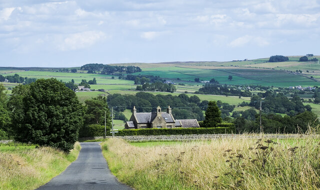
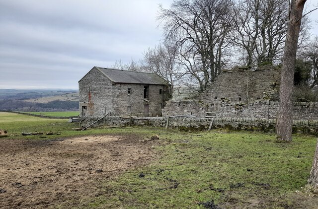
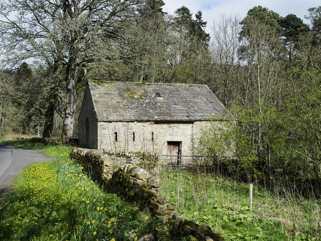
Hindleyhill Wood is a picturesque forest located in the county of Northumberland, England. Spread over a vast area, this woodland is nestled amidst the stunning Northumbrian countryside. It is a popular destination for nature enthusiasts, hikers, and wildlife lovers alike.

The wood boasts an impressive variety of trees, including oak, beech, and birch. These trees create a dense canopy, providing shade and shelter for a diverse range of flora and fauna. The forest floor is covered in a rich carpet of mosses, ferns, and wildflowers, adding to the enchanting atmosphere.

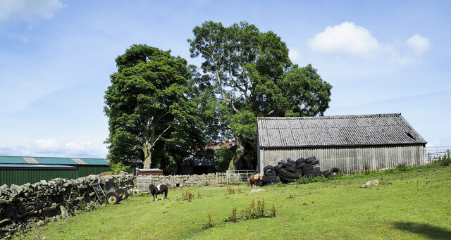
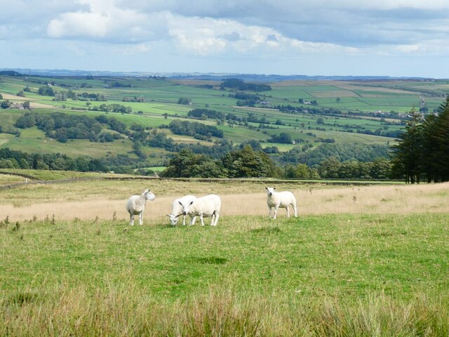
Hindleyhill Wood is home to an abundance of wildlife, making it a haven for nature enthusiasts. Visitors may spot a wide array of bird species, such as woodpeckers, owls, and thrushes. Squirrels scurry through the branches, and if lucky, one might even catch a glimpse of a roe deer grazing quietly in the meadows.

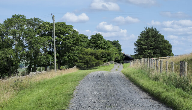
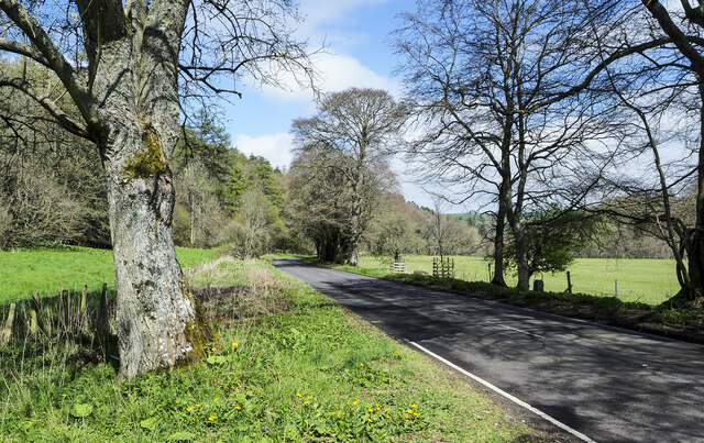
The forest offers several walking trails that allow visitors to explore its natural beauty. These paths wind through the wood, revealing hidden glades, trickling streams, and ancient trees. The tranquility of the surroundings provides a perfect escape from the hustle and bustle of everyday life.

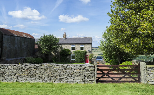
Hindleyhill Wood is easily accessible, situated just a short drive from the nearby town of Hexham. It provides ample parking facilities, picnic areas, and well-maintained trails, ensuring a comfortable experience for all visitors.

Whether it's a leisurely stroll, a bird-watching expedition, or simply a moment of solitude in nature, Hindleyhill Wood offers a serene and captivating experience for anyone seeking a connection with the natural world.

If you have any feedback on the listing, please let us know in the comments section below.

Hindleyhill Wood Images

Images are sourced within 2km of 54.913051/-2.3070264 or Grid Reference NY8057. Thanks to Geograph Open Source API. All images are credited.

The Old School House The Old School House at Keenley is at a crossroads and seen here along the road to the west-south-west; it dates from 1875 and is a listed building. The road is also part of the route of Isaac's Tea Trail.
The Old School House
The Old School House at Keenley is at a crossroads and seen here along the road to the west-south-west; it dates from 1875 and is a listed building. The road is also part of the route of Isaac's Tea Trail.
Public footpath descending at field edge Maps show the path route to descend between walls though the one to the right is clearly ruined and has perhaps been robbed of much of its stone.
The valley towards which the path is descending is West Allendale.
Public footpath descending at field edge
Maps show the path route to descend between walls though the one to the right is clearly ruined and has perhaps been robbed of much of its stone. The valley towards which the path is descending is West Allendale.
Farm access road for Harlow Bower The road access for the farm is some distance from the nearest public road which lies in the direction of the view, probably a half kilometre from Harlow Bower which is behind the camera position. The road is also a public footpath.
Farm access road for Harlow Bower
The road access for the farm is some distance from the nearest public road which lies in the direction of the view, probably a half kilometre from Harlow Bower which is behind the camera position. The road is also a public footpath.
Farm access road approaching Keenley Keenley is a small, dispersed community between the East and West Allendales. The road acts as the access route for the farm at Harlow Bower which lies behind the camera position; it's also a public footpath.
Farm access road approaching Keenley
Keenley is a small, dispersed community between the East and West Allendales. The road acts as the access route for the farm at Harlow Bower which lies behind the camera position; it's also a public footpath.
Farmhouse at Harlow Bower Harlow Bower is a farm above the eastern side of West Allendale. A public footpath uses its access road and is now part of the named route, Isaac's Tea Trail.
Farmhouse at Harlow Bower
Harlow Bower is a farm above the eastern side of West Allendale. A public footpath uses its access road and is now part of the named route, Isaac's Tea Trail.
Ponies at Harlow Bower Harlow Bower is a farm along the route of the Isaac Tea Trail above West Allendale. The ponies (Shetlands?), are in a field with access to the barn, south of the main farm buildings.
Ponies at Harlow Bower
Harlow Bower is a farm along the route of the Isaac Tea Trail above West Allendale. The ponies (Shetlands?), are in a field with access to the barn, south of the main farm buildings.
Derelict Outbuildings at Keenleywell House A couple of derelict outbuildings at Keenleywell House.
Derelict Outbuildings at Keenleywell House
A couple of derelict outbuildings at Keenleywell House.
Stile near Harlow Bower Footpath stile near Harlow Bower farm.
Stile near Harlow Bower
Footpath stile near Harlow Bower farm.
Barn close to Cupola Cottages In the West Allen valley close to the confluence of the Rivers East and West Allen. The cottages are off to the right and Cupola Bridge is a short distance along the road.
Barn close to Cupola Cottages
In the West Allen valley close to the confluence of the Rivers East and West Allen. The cottages are off to the right and Cupola Bridge is a short distance along the road.
A686 below Tarryback Wood The road is heading east, close to the River West Allen, with Tarryback Wood rising on the slope to the left side of the image. The house  named Tarry Back is close by.
A686 below Tarryback Wood
The road is heading east, close to the River West Allen, with Tarryback Wood rising on the slope to the left side of the image. The house named Tarry Back is close by.
Looking across Allendale Sheep in the foreground.
Looking across Allendale
Sheep in the foreground.
Keenley Lime Kiln
Keenley Lime Kiln
Quarry House Associated with a neighbouring former quarry.
Quarry House
Associated with a neighbouring former quarry.
Young cattle at Shieldfield Farm Above West Allendale.
Young cattle at Shieldfield Farm
Above West Allendale.
Two rowan trees Two rowan trees in full fruit at the gateway to Shieldfield Farm.
Two rowan trees
Two rowan trees in full fruit at the gateway to Shieldfield Farm.
Guardians of the gate Two young cattle stand guard at the top of the road down to Shieldfield Farm.
Guardians of the gate
Two young cattle stand guard at the top of the road down to Shieldfield Farm.
Stream bed in old quarry workings By Keenley Thorn.
Stream bed in old quarry workings
By Keenley Thorn.
Keenley Thorn In a commanding position looking out over Allendale.
Keenley Thorn
In a commanding position looking out over Allendale.
Show me another place!

Hindleyhill Wood is located at Grid Ref: NY8057 (Lat: 54.913051, Lng: -2.3070264)

Unitary Authority: Northumberland

Police Authority: Northumbria

What 3 Words

///smart.amphibian.cowboys. Near Bardon Mill, Northumberland

Related Wikis

Allen Confluence Gravels

The Allen Confluence Gravels is the name given to a Site of Special Scientific Interest (SSSI) in Northumberland, England. The site, listed since 1968...

Bearsbridge

Bearsbridge is a village in Northumberland, in England. It is situated to the west of Hexham, on the A686. == Governance == Bearsbridge is in the parliamentary...

Staward Halt railway station

Staward Halt is a closed stone built railway station situated on a single track branch railway line in Northumberland, England, that ran from Allendale...

Catton, Northumberland

Catton is a village in Northumberland, England. It is about 7 miles (11 km) to the southwest of Hexham and is located on the outskirts of Allendale �...

Allendale railway station

Allendale railway station was the terminus of the single track branch of the Hexham and Allendale Railway, in north east England. The line connected villages...

Whitfield, Northumberland

Whitfield is a village and former civil parish, now in the parish of Plenmeller with Whitfield, in the county of Northumberland, England about 10 miles...

Staward Peel

Staward Peel, or Staward Pele, is a peel tower located in the National Trust property of Allen Banks & Staward Gorge in Northumberland, England. ��2�...

Allendale, Northumberland

Allendale, often marked on maps as Allendale Town, is a village and civil parish in south west Northumberland, England. It is located within the North...

Nearby Amenities

Located within 500m of 54.913051,-2.3070264
Wide Eals Haugh
Place: locality
Lat/Long: 54.9166295/-2.3064843
The data included in this document is from www.openstreetmap.org. The data is made available under ODbL.

Have you been to Hindleyhill Wood?

Leave your review of Hindleyhill Wood below (or comments, questions and feedback).