Crabtree
Settlement in Devon
England
Crabtree
Crabtree is a small village located in the county of Devon, England. Situated in the South West region of the country, it is nestled within the picturesque countryside of the Dartmoor National Park. The village is known for its idyllic rural setting and charming character.
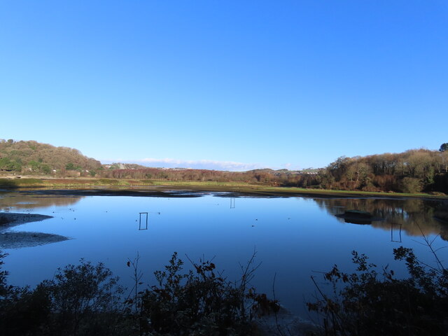
Crabtree is a close-knit community with a population of around 500 residents. It offers a peaceful and tranquil atmosphere, making it an ideal destination for those seeking a quiet retreat or a place to enjoy nature. The village is surrounded by rolling hills, verdant fields, and scenic woodlands, providing ample opportunities for outdoor activities such as hiking, cycling, and wildlife spotting.
The village itself features a range of traditional stone houses and cottages, giving it a quintessential English village feel. There is a local pub, The Crabtree Arms, which serves as a social hub for both residents and visitors. Additionally, there is a small village shop that caters to the daily needs of the community.
Although Crabtree is primarily a residential area, it is conveniently located within proximity to larger towns and cities. The town of Tavistock is just a short drive away, offering a wider range of amenities including supermarkets, shops, and restaurants.
Overall, Crabtree, Devon is a charming and picturesque village that offers a peaceful and rural lifestyle while still being within reach of larger urban areas. It is a place where residents can enjoy the beauty of nature and the strong sense of community that comes with living in a close-knit village.
If you have any feedback on the listing, please let us know in the comments section below.
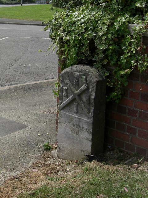
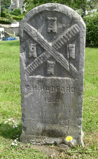
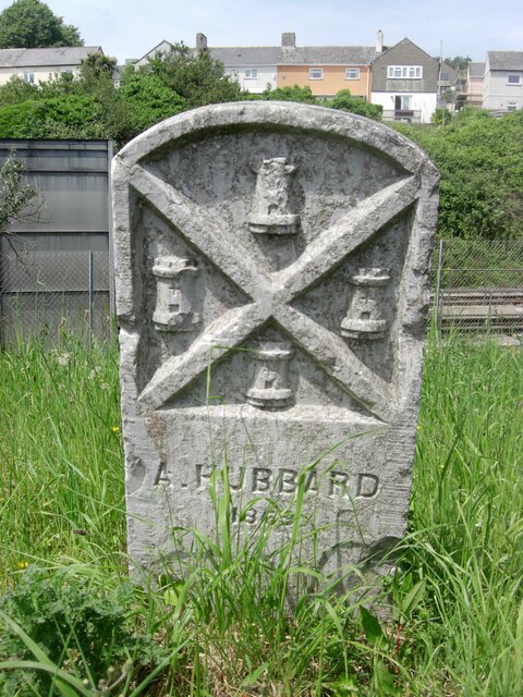
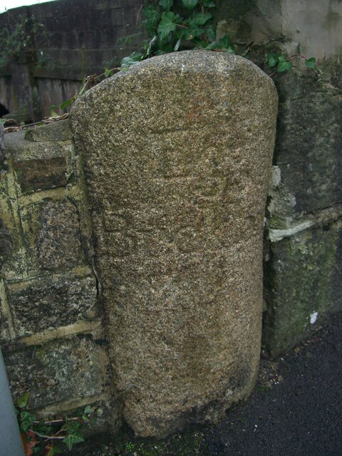
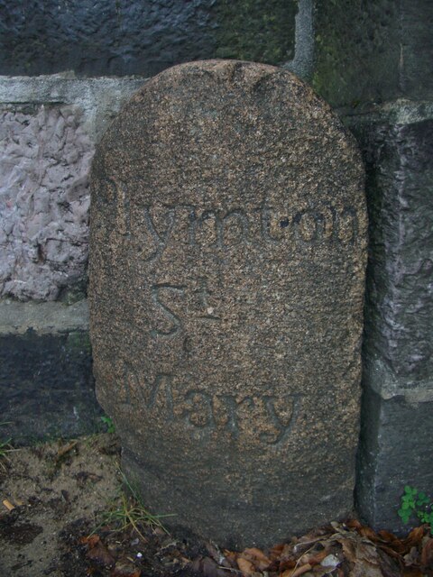
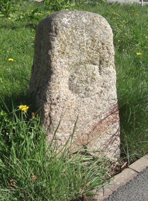
Crabtree Images
Images are sourced within 2km of 50.389027/-4.092541 or Grid Reference SX5156. Thanks to Geograph Open Source API. All images are credited.
Crabtree is located at Grid Ref: SX5156 (Lat: 50.389027, Lng: -4.092541)
Unitary Authority: Plymouth
Police Authority: Devon and Cornwall
What 3 Words
///racks.tuck.enjoy. Near Plympton, Devon
Nearby Locations
Related Wikis

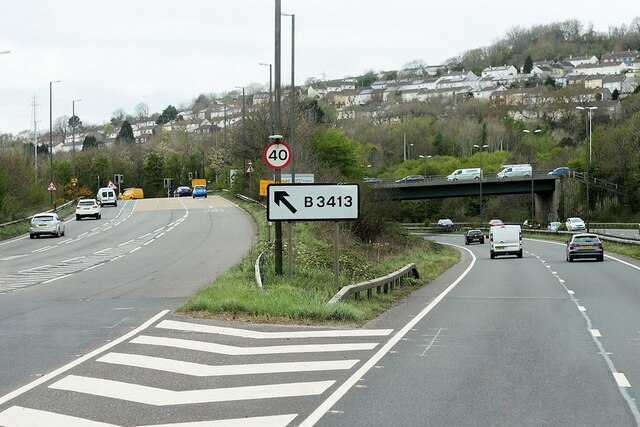
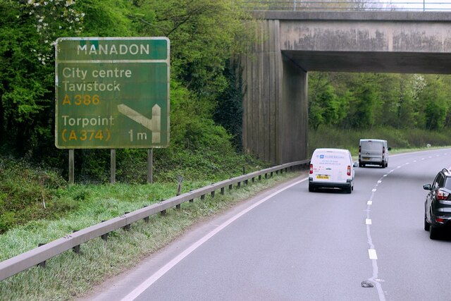
Crabtree, Plymouth
Crabtree is a suburb of Plymouth in the English county of Devon. Originally, it was a small village beside the coaching route around the top of the Plym...
Plymouth Coliseum
Plymouth Coliseum, formerly known as St Boniface Arena, is a rugby field and speedway venue in Plymouth, Devon. It is situated adjacent to the River Plym...

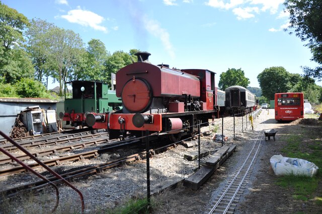
Plym Valley Railway
The Plym Valley Railway is a 1 mile 14 chains (1.9 km) heritage railway based on part of the now-closed South Devon and Tavistock Railway, a branch line...

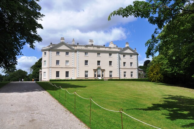
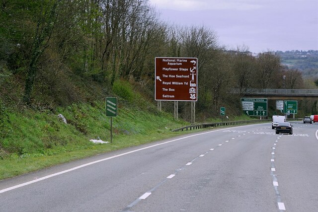
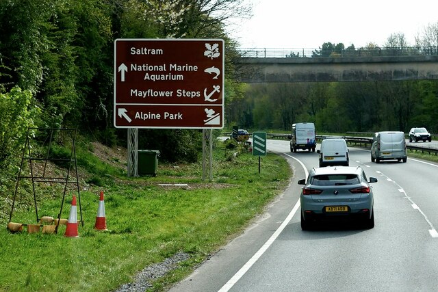
Saltram House
Saltram House is a grade I listed George II era house in Plympton, Devon, England. It was deemed by the architectural critic Pevsner to be "the most impressive...
Laira Battery
Laira Battery is a former 19th-century Fort, built as a result of the Royal Commission on National Defence of 1859. It was built to defend the landward...
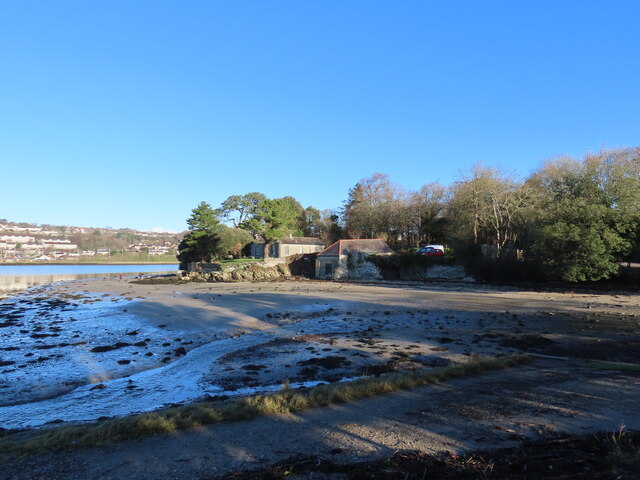
Laira
Laira – previously recorded as Lare (1591), Lary poynte (1638), the Leerie (1643), and the Lairy (1802) – was originally the name given to that part of...
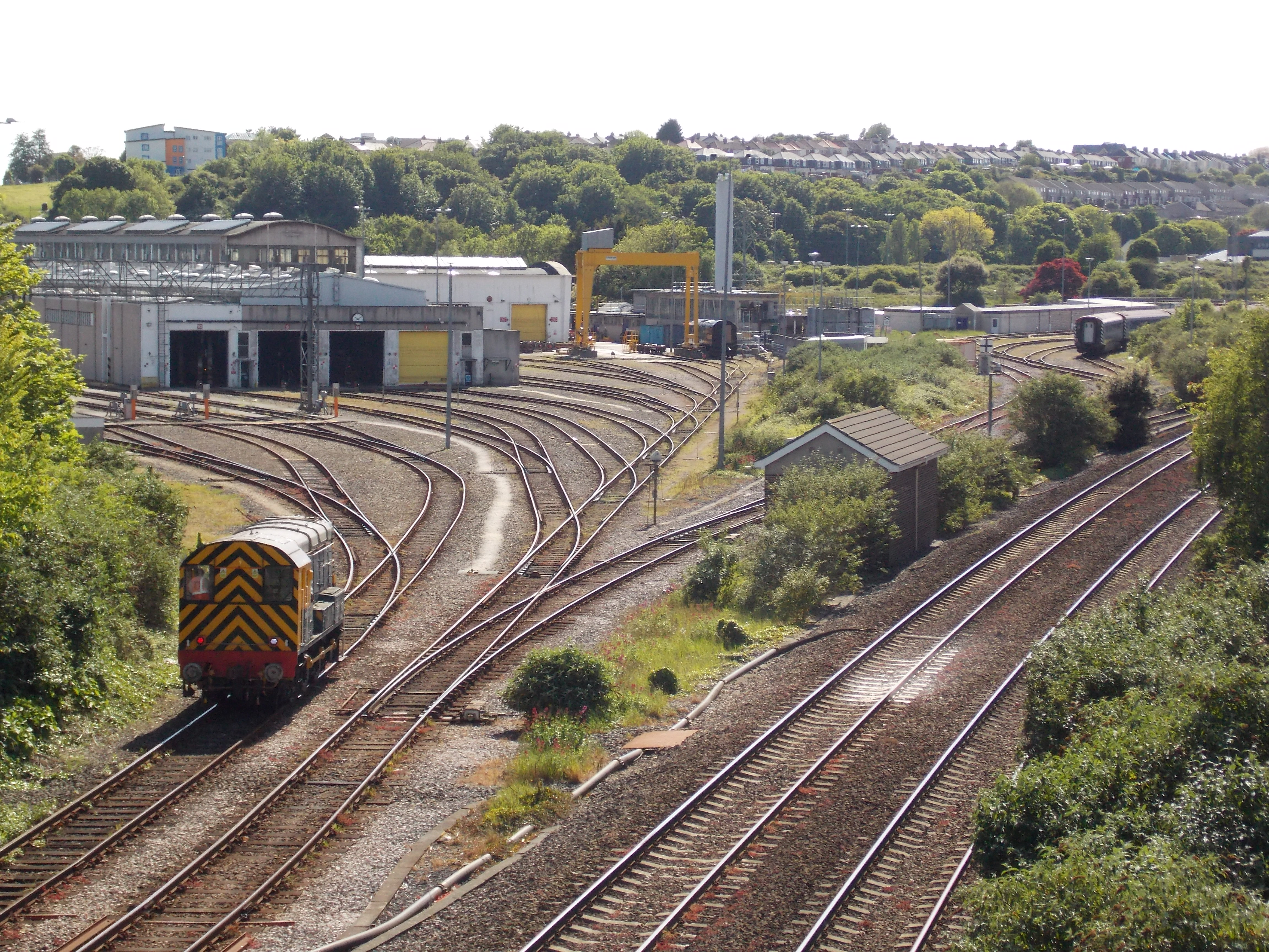
Laira Traction and Rolling Stock Maintenance Depot
Laira Traction and Rolling Stock Maintenance Depot is a railway traction maintenance depot situated in Plymouth, Devon, England. The depot is operated...

Fort Efford
Fort Efford is a former 19th-century Fort, built as a result of the Royal Commission on National Defence of 1859. It was built to defend the landward approaches...
Nearby Amenities
Located within 500m of 50.389027,-4.092541Have you been to Crabtree?
Leave your review of Crabtree below (or comments, questions and feedback).