Crabtree

Settlement in Sussex Horsham

England

Crabtree

Lake at Leonardslee The northernmost of the chain of seven lakes that fill the wooded valley of Leonardslee Gardens
Lake at Leonardslee Credit: John Myers

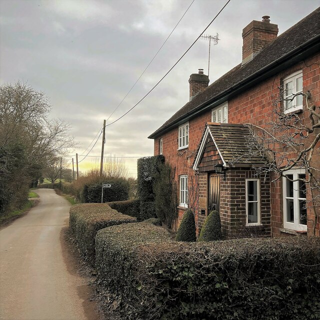
Crabtree is a small village located in the county of Sussex, England. Situated in the southern part of the country, it lies within the local government district of Chichester. With a population of around 200 residents, Crabtree is characterized by its tranquil and picturesque surroundings.

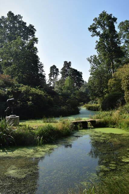
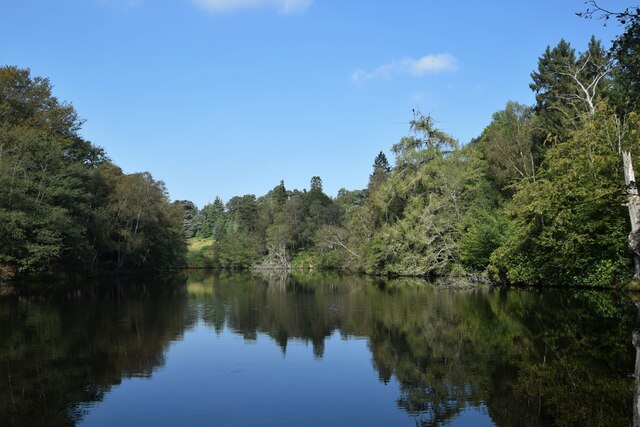
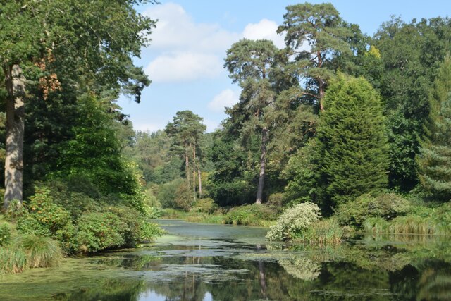
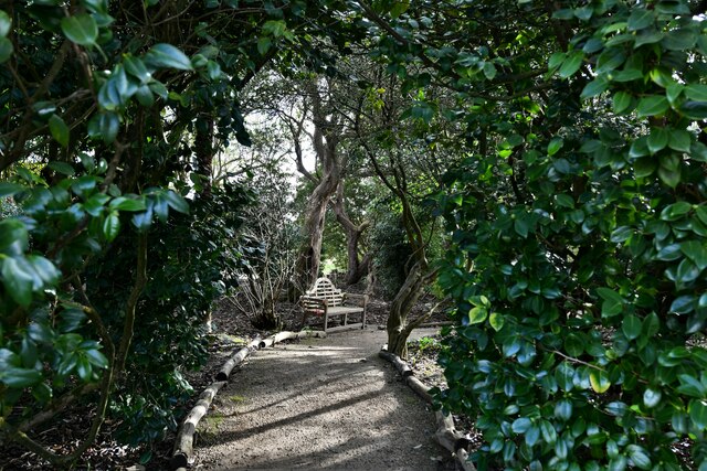
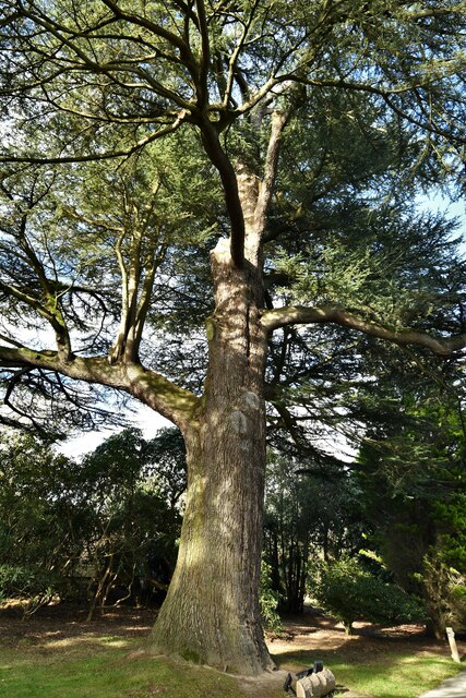
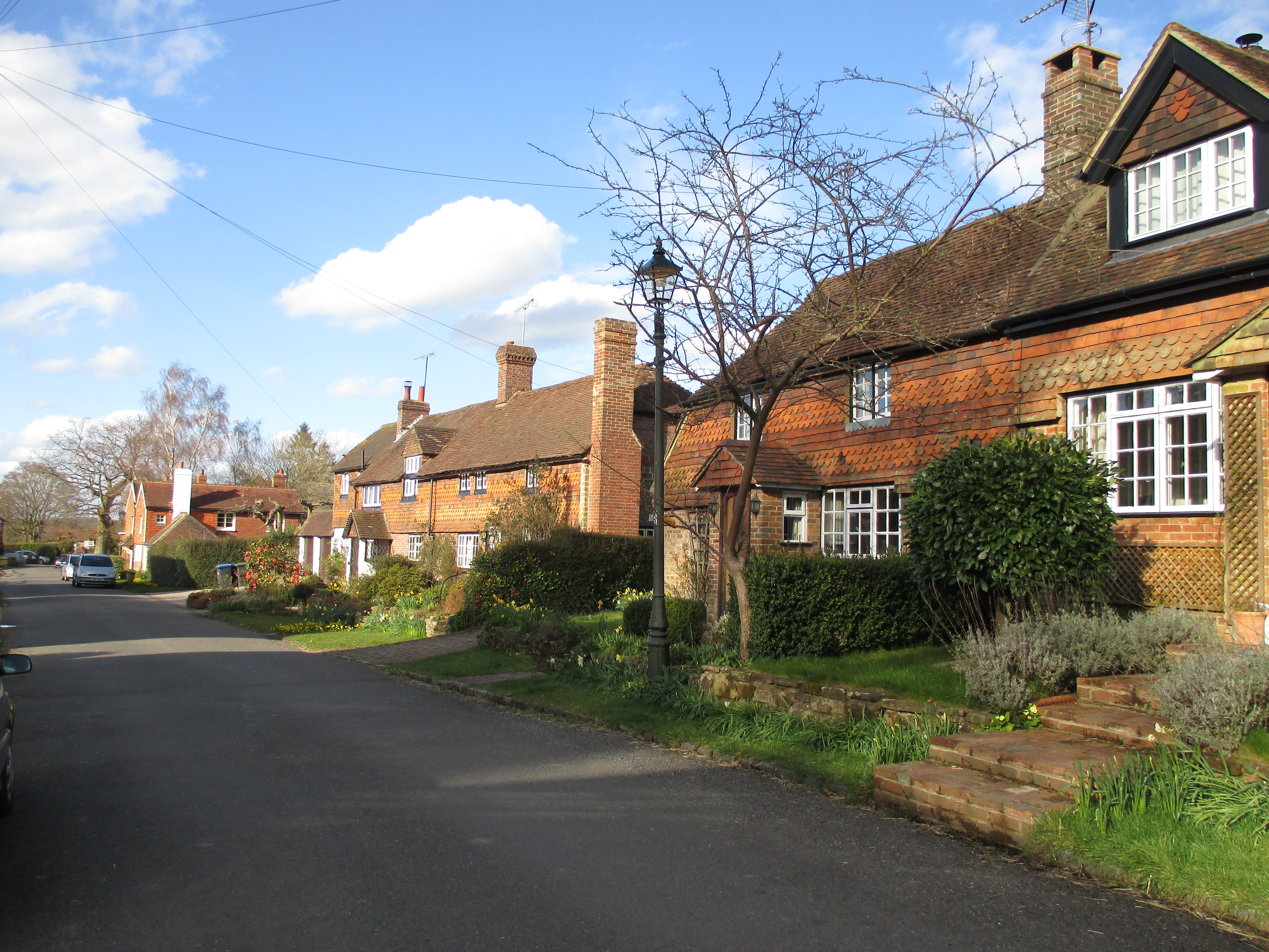
The village is known for its stunning natural beauty, as it is nestled amidst rolling hills and verdant countryside. It provides an idyllic setting for those seeking a peaceful and rural lifestyle. The landscape is dotted with traditional English cottages and charming farmhouses, adding to the village's quaint and timeless appeal.

Crabtree is surrounded by a range of outdoor recreational opportunities. The nearby South Downs National Park offers miles of scenic walking trails, perfect for hikers and nature enthusiasts. Additionally, the village is close to several renowned historic sites, such as the Roman city of Chichester and the medieval Arundel Castle, providing residents and visitors with a wealth of cultural and historical experiences.

Although Crabtree is a small village, it benefits from its proximity to larger towns and cities. Chichester, located just a few miles away, offers a range of amenities, including shopping centers, restaurants, and entertainment options. The village also benefits from good transportation links, with regular bus services connecting it to the wider region.

Overall, Crabtree offers a peaceful and picturesque retreat, combining the charm of rural living with easy access to larger urban areas.

If you have any feedback on the listing, please let us know in the comments section below.
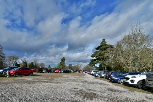
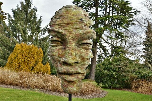
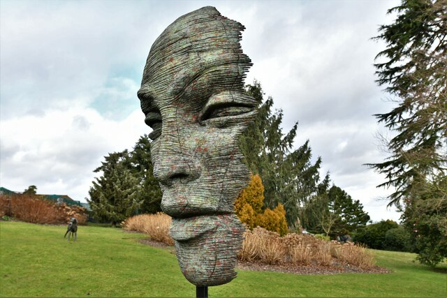
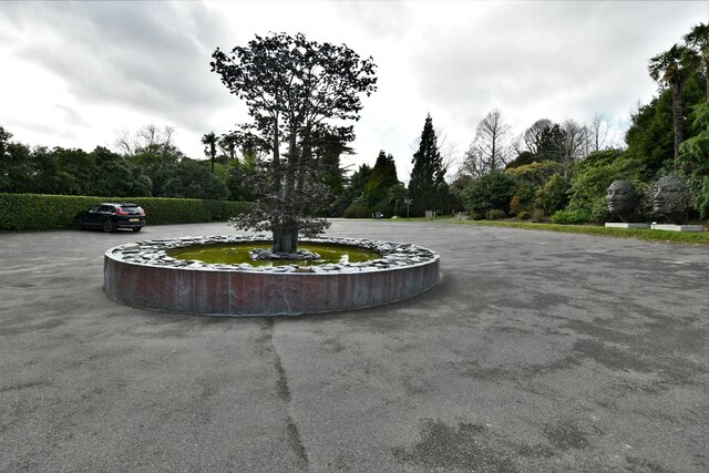
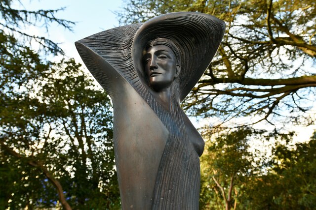
Crabtree Images

Images are sourced within 2km of 51.015311/-0.259998 or Grid Reference TQ2225. Thanks to Geograph Open Source API. All images are credited.

Lake at Leonardslee The northernmost of the chain of seven lakes that fill the wooded valley of Leonardslee Gardens
Lake at Leonardslee
The northernmost of the chain of seven lakes that fill the wooded valley of Leonardslee Gardens
New Pond Leonardslee Gardens
New Pond
Leonardslee Gardens
Engine Pond Leonardslee Gardens
Engine Pond
Leonardslee Gardens
Cottage on Newells Lane The bridleway through Lodgesale Wood starts just beyond the cottage, on the right of the lane.
Cottage on Newells Lane
The bridleway through Lodgesale Wood starts just beyond the cottage, on the right of the lane.
Leonardslee Gardens Car Park
Leonardslee Gardens, Anton Smit 'Walk of Life' Exhibition: 'Faith Mask' 2014
Leonardslee Gardens, Anton Smit 'Walk of Life' Exhibition: 'Stream of Consciousness' 2019
Leonardslee Gardens: Tree sculpture in front of Leonardslee House
Leonardslee Gardens, Anton Smit 'Walk of Life' Exhibition: 'The Burning Man' 2019
Leonardslee Gardens: Leonardslee House
Leonardslee Gardens: The Camellia Walk
Leonardslee Gardens: 'Cedrus libani' (The Cedar of Lebanon)
Leonardslee Gardens: 'Cedrus libani' (The Cedar of Lebanon), bark detail
Leonardslee Gardens, Anton Smit 'Walk of Life' Exhibition: 'Moondance' 1995
Show me another place!

Crabtree is located at Grid Ref: TQ2225 (Lat: 51.015311, Lng: -0.259998)

Administrative County: West Sussex

District: Horsham

Police Authority: Sussex

What 3 Words

///goodbye.caressed.choice. Near Cowfold, West Sussex

Related Wikis

Crabtree, West Sussex

Crabtree is a hamlet in the parish of Lower Beeding and in Horsham District of West Sussex, England. It lies on the A281 road 4.4 miles (7.1 km) southeast...
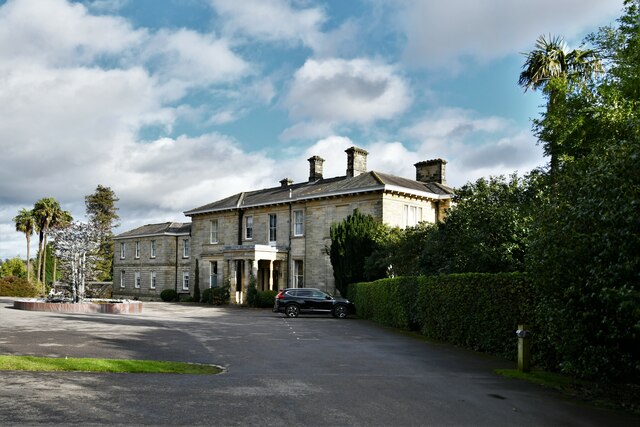
Leonardslee

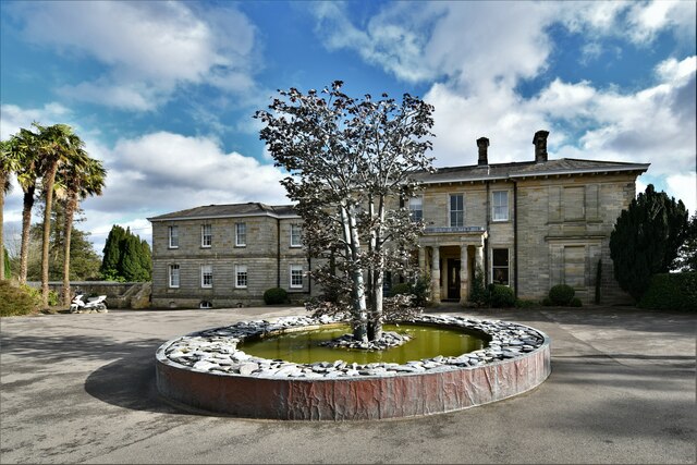
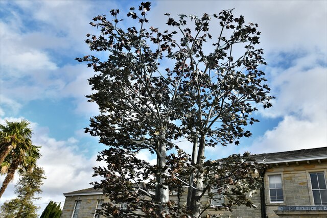
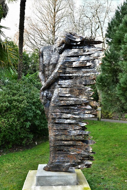
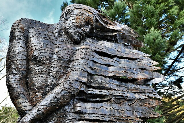
Leonardslee is an English country house and English landscape garden and woodland garden in Lower Beeding, near Horsham, West Sussex, England. The Grade...

Newells Preparatory School

Newells Preparatory School came to Lower Beeding, Sussex, in 1946. It has been at Handcross and known as Handcross Park School since 1968. It merged with...

Lower Beeding

Lower Beeding is a village and civil parish in the Horsham District of West Sussex, England. The village lies on the B2110, B2115 and A281 roads 3.5 miles...

Colwood, West Sussex

Colwood is a village near Warninglid in West Sussex, England. It is the site of Colwood Manor. == References == The geographic coordinates are from the...

Monk's Gate

Monk's Gate is a hamlet in the civil parish of Nuthurst, in the Horsham District of West Sussex, England. It lies on the A281 road 3 miles (5 km) southeast...

Warninglid

Warninglid (historically known as Warninglyth and Warningeld) is a small village in the Mid Sussex District of West Sussex, England. It lies on the B2115...

Nuthurst

Nuthurst is a village and civil parish in the Horsham district of West Sussex, England. The north of the parish borders Horsham town, with Nuthurst village...

Nearby Amenities

Located within 500m of 51.015311,-0.259998
Barrier: kissing_gate
Foot: yes
Lat/Long: 51.0122849/-0.2587713
Bus Stop
Crabtree Inn
Bus: yes
Naptan AtcoCode: 4400HR0442
Naptan Bearing: S
Naptan CommonName: Crabtree Inn
Naptan Indicator: o/s pub
Naptan Landmark: Mill Lane
Naptan NaptanCode: wsxawjmp
Naptan Street: A281
Naptan Verified: no
Public Transport: platform
Source: naptan_import
Lat/Long: 51.0139901/-0.2617485
Bus Stop
Crabtree Inn
Bus: yes
Naptan AtcoCode: 4400HR0443
Naptan Bearing: N
Naptan CommonName: Crabtree Inn
Naptan Indicator: opp pub
Naptan Landmark: Mill Lane
Naptan NaptanCode: wsxawjmt
Naptan Street: A281
Naptan Verified: no
Public Transport: platform
Source: naptan_import
Lat/Long: 51.0142534/-0.2618224
Loder Plants at the Market Garden
Addr City: Horsham
Addr Housename: Market Garden
Addr Postcode: RH13 6PP
Addr Street: Brighton Road
Addr Suburb: Lower Beeding
Alt Website: https://www.loder.uk
Email: plants@loder-plants.co.uk
Phone: +44 (0) 1403 891 412
Shop: garden_centre
Website: https://www.loder-plants.co.uk/
Lat/Long: 51.0163173/-0.2599488
Crabtree
Place: village
Wikidata: Q9196534
Lat/Long: 51.0148506/-0.2611854
Junction: roundabout
Lat/Long: 51.0154431/-0.2638069
Barrier: kissing_gate
Foot: yes
Lat/Long: 51.0127852/-0.2565788
Barrier: kissing_gate
Foot: yes
Material: wood
Stile: stepover
Lat/Long: 51.0119873/-0.2568454
Post Box
Collection Times: Mo-Fr 17:15; Sa 09:00
Operator: Royal Mail
Post Box Mounting: pier
Post Box Type: lamp
Ref: RH13 131
Royal Cypher: EIIR
Royal Cypher Wikidata: Q33102113
Lat/Long: 51.0148336/-0.2616124
Charging Station
ChargePoint
Access: customers
Brand: ChargePoint
Brand Wikidata: Q5176149
Capacity: 6
Charge: 0.3 GBP
Fee: yes
Operator: ChargePoint
Operator Wikidata: Q5176149
Payment Account Cards: yes
Payment Contactless: yes
Lat/Long: 51.0156593/-0.265089
Power: pole
Lat/Long: 51.0124839/-0.2557616
Power: pole
Lat/Long: 51.0128282/-0.2579785
Fountain
Lat/Long: 51.0134861/-0.265326
Fountain
Lat/Long: 51.0140728/-0.2652846
Leonardslee
Place: isolated_dwelling
Lat/Long: 51.0195611/-0.2594664
Artwork Type: statue
Tourism: artwork
Lat/Long: 51.0190385/-0.2596443
Tourism: picnic_site
Lat/Long: 51.0185842/-0.2587307
The data included in this document is from www.openstreetmap.org. The data is made available under ODbL.

Have you been to Crabtree?

Leave your review of Crabtree below (or comments, questions and feedback).