Crabgate
Settlement in Norfolk Broadland
England
Crabgate

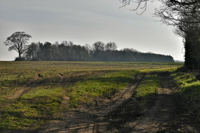
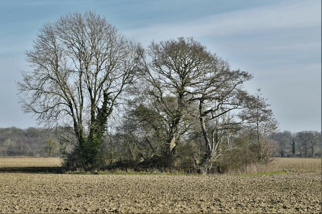
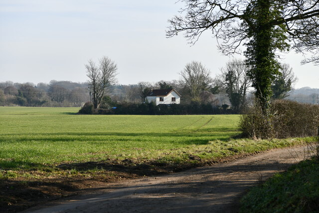
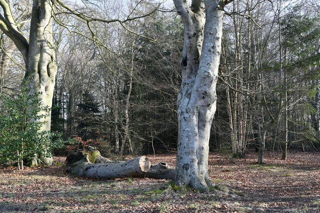
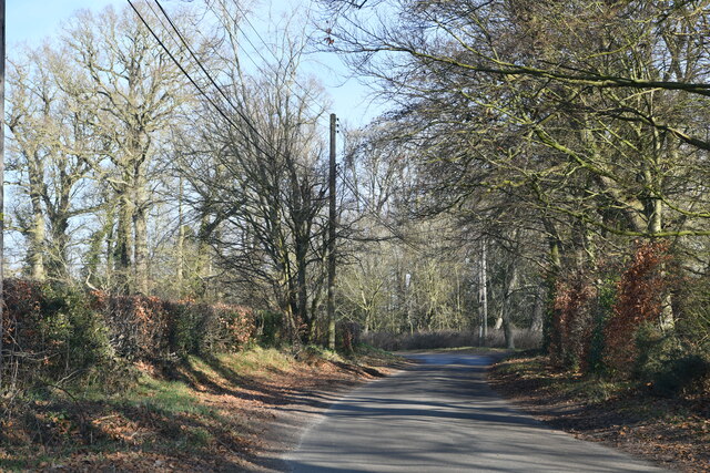
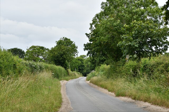
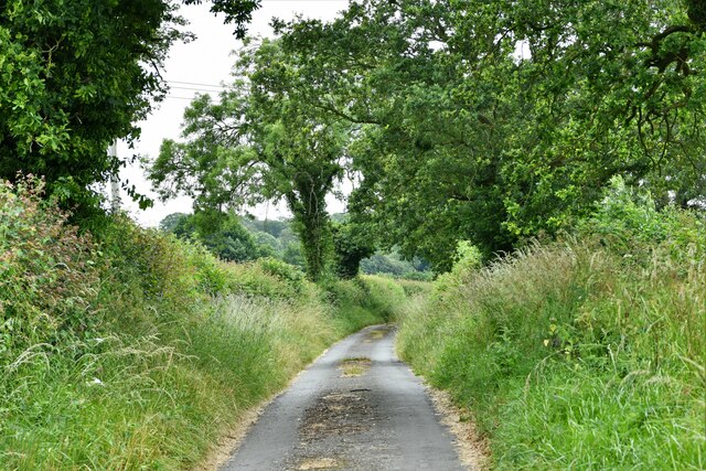
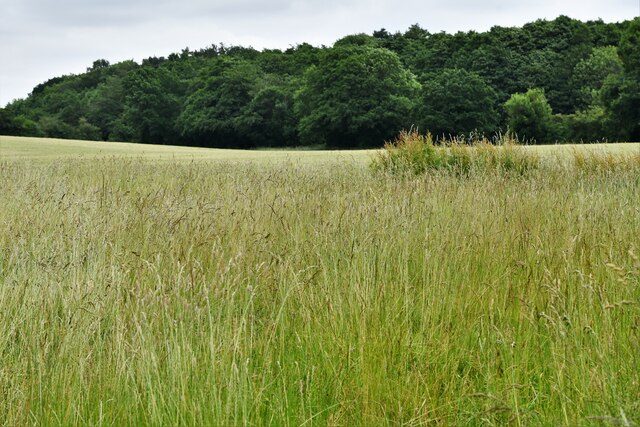
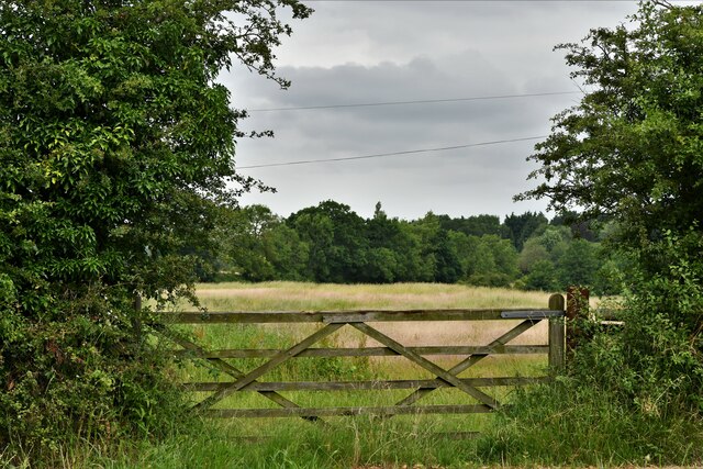
Crabgate is a picturesque village located in the county of Norfolk, England. Situated near the North Sea coast, it offers stunning views of the surrounding countryside and is known for its tranquil atmosphere. The village is nestled amidst rolling hills and lush green fields, providing a serene and idyllic setting for residents and visitors alike.
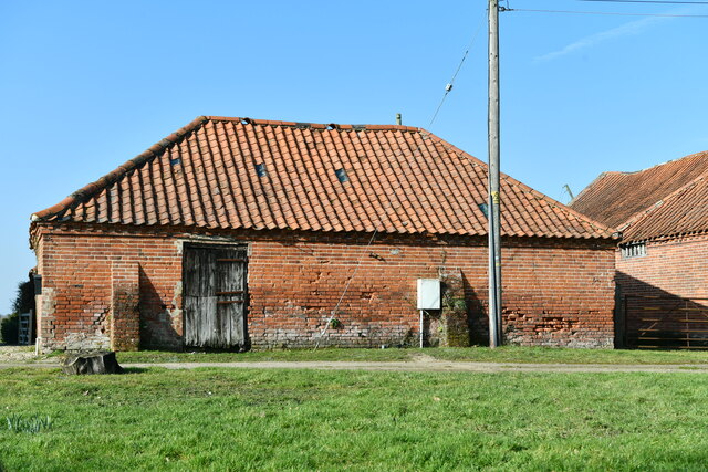
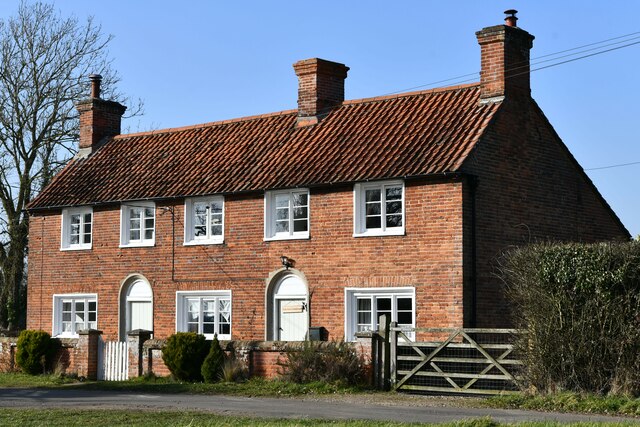
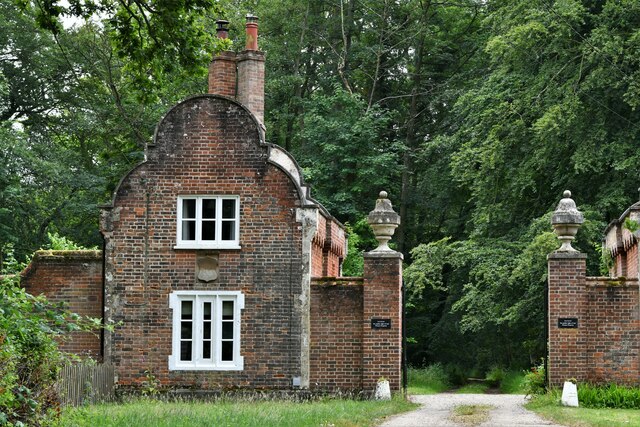
Crabgate is renowned for its charming thatched-roof cottages, which give the village a distinct character and add to its traditional English charm. The village center boasts a quaint square lined with small local businesses, including a village pub, a tea room, and a few independent shops. This creates a sense of community and provides a hub for social interaction among residents.
The village is also famous for its annual Crab Festival, a celebration of its rich maritime heritage. During this event, locals and tourists gather to enjoy a variety of activities, such as crab-catching competitions, seafood stalls, and live music performances. The festival showcases the local fishing industry and pays homage to the village's historical connection to the sea.
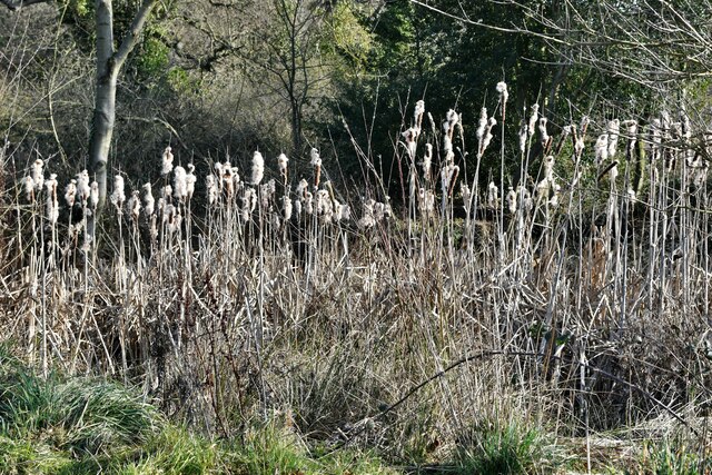
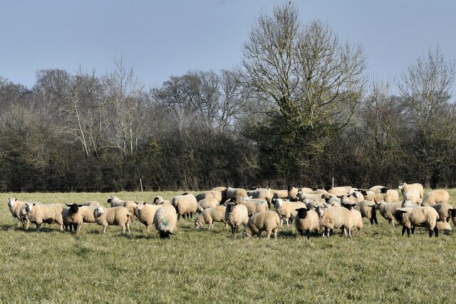
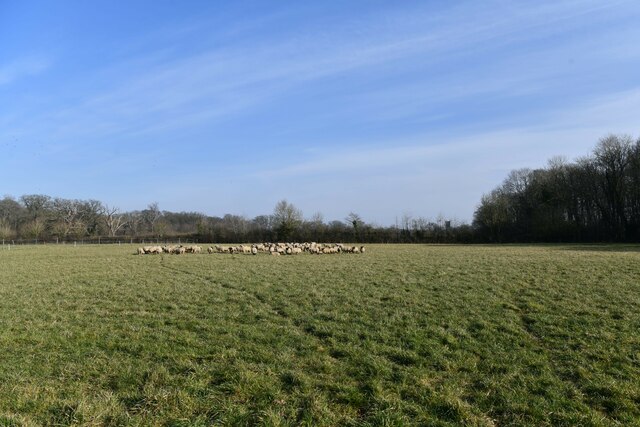
Nature enthusiasts will find Crabgate a haven, with its proximity to the Norfolk Coast Area of Outstanding Natural Beauty. The area is home to a diverse range of wildlife, including rare bird species, seals, and various marine creatures. Visitors can take leisurely walks along the coastal paths or explore the nearby nature reserves, immersing themselves in the beauty of the natural surroundings.
In conclusion, Crabgate, Norfolk, is a charming village that offers a peaceful retreat in a stunning countryside setting. Its traditional architecture, community spirit, and natural beauty make it an appealing destination for locals and tourists seeking a tranquil escape from the bustling city life.
If you have any feedback on the listing, please let us know in the comments section below.
Crabgate Images
Images are sourced within 2km of 52.803789/1.109552 or Grid Reference TG0927. Thanks to Geograph Open Source API. All images are credited.

Crabgate is located at Grid Ref: TG0927 (Lat: 52.803789, Lng: 1.109552)
Administrative County: Norfolk
District: Broadland
Police Authority: Norfolk
What 3 Words
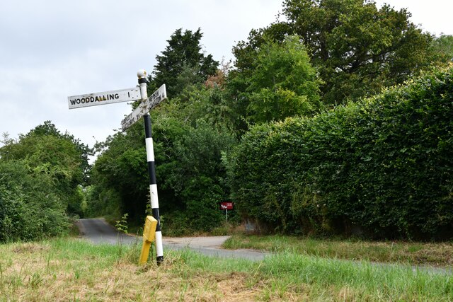
///picture.librarian.wasps. Near Reepham, Norfolk
Nearby Locations
Related Wikis

Wood Dalling
Wood Dalling is a village and civil parish in Norfolk, England. It is located 8 miles (13 km) south of Holt and 3 miles (4.8 km) north of Reepham, the...

Heydon, Norfolk
Heydon is a village and civil parish in Norfolk, England. It is located 3 miles (4.8 km) north of the market town of Reepham. The village can be accessed...

Thurning, Norfolk
Thurning is a small dispersed village and civil parish in the English county of Norfolk and district of North Norfolk, near the border with Broadland....

Salle, Norfolk
Salle ( SAWL) is a small village and civil parish in the Broadland district, in the county of Norfolk, England. 1.5 miles (2.4 km) to the south is the...

Corpusty and Saxthorpe railway station
Corpusty and Saxthorpe railway station was a railway station in the North Norfolk village of Corpusty. It was opened by the Eastern & Midlands Railway...

Salle Park
Salle Park is a country house in Norfolk, England, near the village of Salle and about 10 miles (16 km) north-west of Norwich. The house is a Grade II...

Guestwick
Guestwick is a village and a civil parish in the English county of Norfolk. The village is 19.6 miles (31.5 km) south-west of Cromer, 18.7 miles (30.1...

Saxthorpe
Saxthorpe is a village in Norfolk, England. The village is 12 miles (19 km) west south west of Cromer and 16.3 miles (26.2 km) north north west of Norwich...
Nearby Amenities
Located within 500m of 52.803789,1.109552Have you been to Crabgate?
Leave your review of Crabgate below (or comments, questions and feedback).