Marsh Mills

Settlement in Devon

England

Marsh Mills

Old Boundary Marker on Old Laira Road, Plymouth Municipal Boundary Marker facing east against the front garden wall of No.369 Old Laira Road, Plymouth, close to the junction with Manor Lane. Inscribed J.T. BOND / 1896 for John Thomas Bond, mayor.

Milestone Society National ID: DV_PCBS48pb
Old Boundary Marker on Old Laira Road, Plymouth Credit: T Jenkinson

The requested URL returned error: 429 Too Many Requests

If you have any feedback on the listing, please let us know in the comments section below.
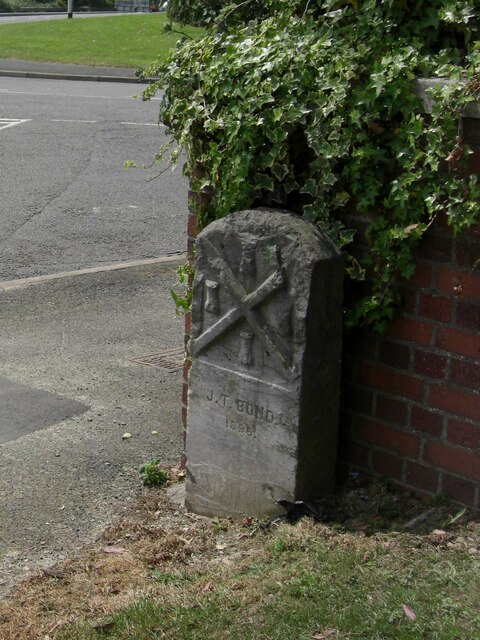
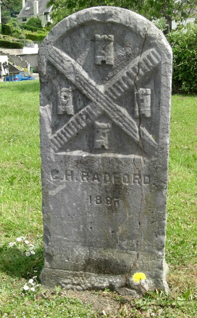
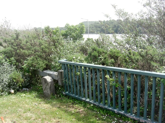
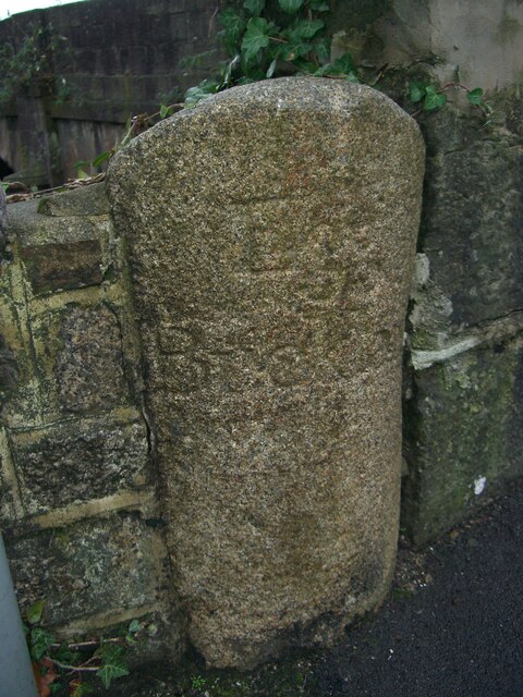
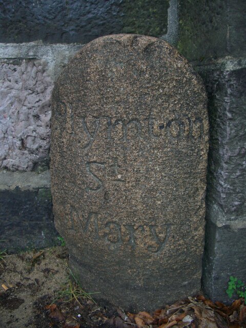
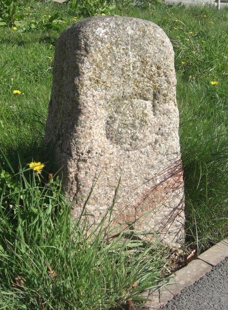
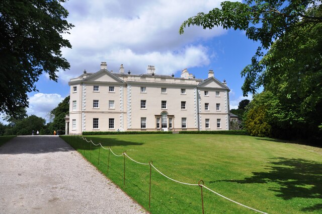
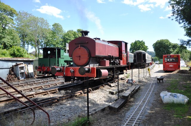
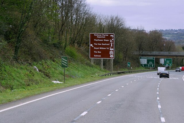
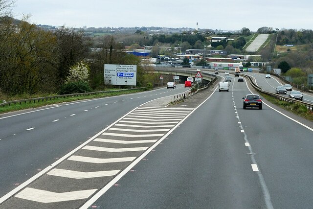
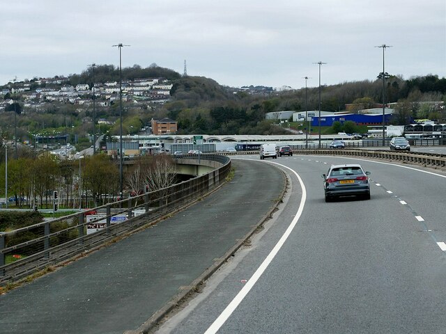
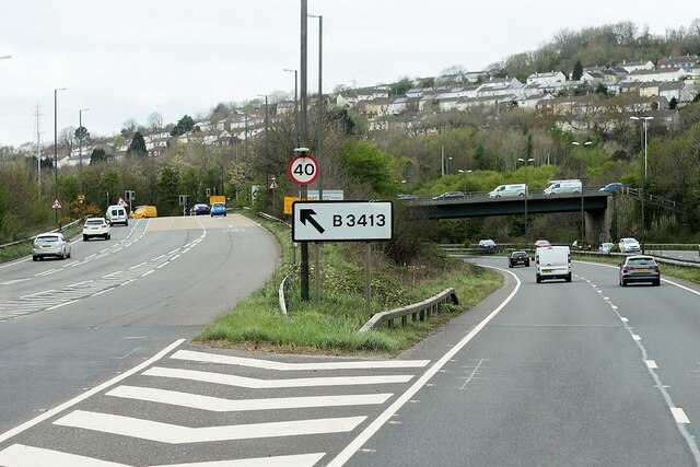
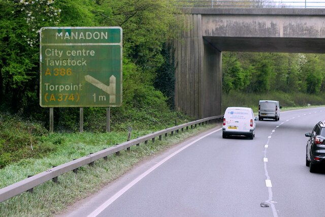
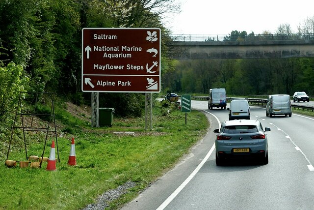
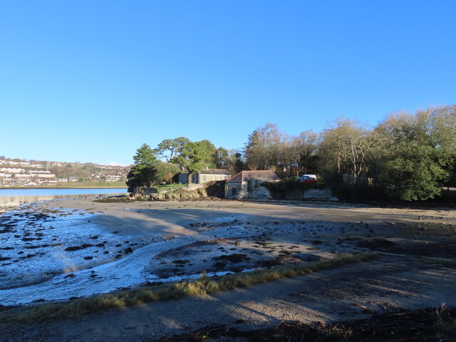
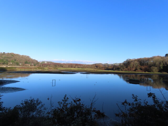
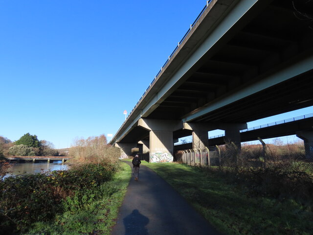
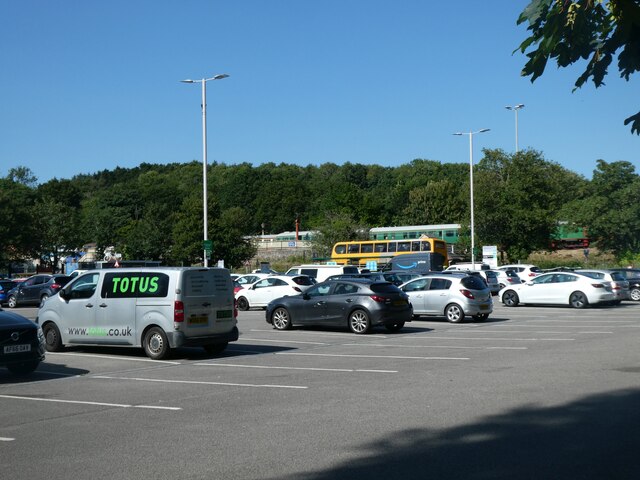
Marsh Mills Images

Images are sourced within 2km of 50.391712/-4.084025 or Grid Reference SX5156. Thanks to Geograph Open Source API. All images are credited.

Old Boundary Marker on Old Laira Road, Plymouth Municipal Boundary Marker facing east against the front garden wall of No.369 Old Laira Road, Plymouth, close to the junction with Manor Lane. Inscribed J.T. BOND / 1896 for John Thomas Bond, mayor.

Milestone Society National ID: DV_PCBS48pb
Old Boundary Marker on Old Laira Road, Plymouth
Municipal Boundary Marker facing east against the front garden wall of No.369 Old Laira Road, Plymouth, close to the junction with Manor Lane. Inscribed J.T. BOND / 1896 for John Thomas Bond, mayor. Milestone Society National ID: DV_PCBS48pb
Old Boundary Marker on Old Laira Road, Plymouth Municipal Boundary Marker on the east side of the junction of the B3214 Old Laira Road and the A374 Embankment Road, Plymouth. Inscribed C.H. RADFORD / 1897 for Charles H Radford, mayor.

Milestone Society National ID: DV_PCBS49pb
Old Boundary Marker on Old Laira Road, Plymouth
Municipal Boundary Marker on the east side of the junction of the B3214 Old Laira Road and the A374 Embankment Road, Plymouth. Inscribed C.H. RADFORD / 1897 for Charles H Radford, mayor. Milestone Society National ID: DV_PCBS49pb
Old Boundary Marker on Embankment Road, Plymouth Municipal Boundary Marker in front of a crash barrier where it meets metal railings on the southeast side of the A374 Embankment Road opposite the junction with Old Laira Road, Plymouth. Inscribed J.T. BOND / (1896) for John Thomas Bond, mayor.

Milestone Society National ID: DV_PCBS50pb
Old Boundary Marker on Embankment Road, Plymouth
Municipal Boundary Marker in front of a crash barrier where it meets metal railings on the southeast side of the A374 Embankment Road opposite the junction with Old Laira Road, Plymouth. Inscribed J.T. BOND / (1896) for John Thomas Bond, mayor. Milestone Society National ID: DV_PCBS50pb
Old Boundary Marker on Longridge Road, Plymouth Parish Boundary Marker between the west end of the parapet of Long Bridge and a stone wall on the east side of Longbridge Road, just off the B3416 Plymouth Road. Inscribed Egg / Buckland. Until 1939 this marked the boundary of Egg Buckland and Plympton St Mary parishes, after which Egg Buckland became part of Plymouth parish and borough.

Milestone Society National ID: DV_PLEX02apb
Old Boundary Marker on Longridge Road, Plymouth
Parish Boundary Marker between the west end of the parapet of Long Bridge and a stone wall on the east side of Longbridge Road, just off the B3416 Plymouth Road. Inscribed Egg / Buckland. Until 1939 this marked the boundary of Egg Buckland and Plympton St Mary parishes, after which Egg Buckland became part of Plymouth parish and borough. Milestone Society National ID: DV_PLEX02apb
Old Boundary Marker on Plymouth Road, Plympton St Mary Parish Boundary Marker at the east end of the parapet of Long Bridge on the north side of the B3416 Plymouth Road. Inscribed Plympton / St / Mary. Until 1939 this marked the boundary of Egg Buckland and Plympton St Mary parishes, after which Egg Buckland became part of Plymouth parish and borough. See also <a title="https://www.geograph.org.uk/photo/1526519" href="https://www.geograph.org.uk/photo/1526519">Link</a>.

Milestone Society National ID: DV_PLEX02bpb
Old Boundary Marker on Plymouth Road, Plympton St Mary
Parish Boundary Marker at the east end of the parapet of Long Bridge on the north side of the B3416 Plymouth Road. Inscribed Plympton / St / Mary. Until 1939 this marked the boundary of Egg Buckland and Plympton St Mary parishes, after which Egg Buckland became part of Plymouth parish and borough. See also Link. Milestone Society National ID: DV_PLEX02bpb
Old Bridge Marker on Plymouth Road, Lee Mill County Bridge Marker in Lee Mill on the northwest side of the junction of Plymouth Road and New Park Road, 96 metres west of Leemill Bridge, River Yealm. Sparkwell parish. The stone marks the extent of roadway adjoining the bridge that the County was obliged to maintain.

Milestone Society National ID: DV_PLEX08br
Old Bridge Marker on Plymouth Road, Lee Mill
County Bridge Marker in Lee Mill on the northwest side of the junction of Plymouth Road and New Park Road, 96 metres west of Leemill Bridge, River Yealm. Sparkwell parish. The stone marks the extent of roadway adjoining the bridge that the County was obliged to maintain. Milestone Society National ID: DV_PLEX08br
Saltram House Saltram House, near Plymouth, a National Trust property.
Saltram House
Saltram House, near Plymouth, a National Trust property.
The Plym Valley Railway Locomotives in the yard at the Plym Valley Railway.  This was a non operational day, and the insurance company Boiler Inspector was testing 'Albert', the red engine in the picture.  Steam locomotive boilers have to be regularly tested for safety before they can be used.
The Plym Valley Railway
Locomotives in the yard at the Plym Valley Railway. This was a non operational day, and the insurance company Boiler Inspector was testing 'Albert', the red engine in the picture. Steam locomotive boilers have to be regularly tested for safety before they can be used.
A38 Devon Expressway near Saltram Park The A38 is a major A-class trunk route. When first designated in 1922, it ran from Derby to Plymouth but it was later extended at both ends so that it now runs for 292 miles from Mansfield in Nottinghamshire to Bodmin in Cornwall.

Prior to the opening of the M5 motorway in the 1960s and 1970s, the A38 formed the main "holiday route" from the Midlands to Somerset, Devon and Cornwall and the south-western section was notorious at holiday times for the congestion. Nowadays, for most of the southern section, the A38 is a fairly quiet road shadowing the M5 extremely closely; often running alongside the motorway as a single carriageway road. The section between Exeter and Plymouth is, however, a busy dual carriageway which serves as the southern extension of the M5 and is known as “the Devon Expressway”.

More information at <span class="nowrap"><a title="http://en.wikipedia.org/wiki/A38_road" rel="nofollow ugc noopener" href="http://en.wikipedia.org/wiki/A38_road">Link</a><img style="margin-left:2px;" alt="External link" title="External link - shift click to open in new window" src="https://s1.geograph.org.uk/img/external.png" width="10" height="10"/></span>  (Wikipedia) and <span class="nowrap"><a title="http://www.sabre-roads.org.uk/wiki/index.php?title=A38" rel="nofollow ugc noopener" href="http://www.sabre-roads.org.uk/wiki/index.php?title=A38">Link</a><img style="margin-left:2px;" alt="External link" title="External link - shift click to open in new window" src="https://s1.geograph.org.uk/img/external.png" width="10" height="10"/></span>  (SABRE).
A38 Devon Expressway near Saltram Park
The A38 is a major A-class trunk route. When first designated in 1922, it ran from Derby to Plymouth but it was later extended at both ends so that it now runs for 292 miles from Mansfield in Nottinghamshire to Bodmin in Cornwall. Prior to the opening of the M5 motorway in the 1960s and 1970s, the A38 formed the main "holiday route" from the Midlands to Somerset, Devon and Cornwall and the south-western section was notorious at holiday times for the congestion. Nowadays, for most of the southern section, the A38 is a fairly quiet road shadowing the M5 extremely closely; often running alongside the motorway as a single carriageway road. The section between Exeter and Plymouth is, however, a busy dual carriageway which serves as the southern extension of the M5 and is known as “the Devon Expressway”. More information at LinkExternal link (Wikipedia) and LinkExternal link (SABRE).
A38 at Marsh Mills Junction The A38 is a major A-class trunk route. When first designated in 1922, it ran from Derby to Plymouth but it was later extended at both ends so that it now runs for 292 miles from Mansfield in Nottinghamshire to Bodmin in Cornwall.

Prior to the opening of the M5 motorway in the 1960s and 1970s, the A38 formed the main "holiday route" from the Midlands to Somerset, Devon and Cornwall and the south-western section was notorious at holiday times for the congestion. Nowadays, for most of the southern section, the A38 is a fairly quiet road shadowing the M5 extremely closely; often running alongside the motorway as a single carriageway road. The section between Exeter and Plymouth is, however, a busy dual carriageway which serves as the southern extension of the M5 and is known as “the Devon Expressway”.

More information at <span class="nowrap"><a title="http://en.wikipedia.org/wiki/A38_road" rel="nofollow ugc noopener" href="http://en.wikipedia.org/wiki/A38_road">Link</a><img style="margin-left:2px;" alt="External link" title="External link - shift click to open in new window" src="https://s1.geograph.org.uk/img/external.png" width="10" height="10"/></span>  (Wikipedia) and <span class="nowrap"><a title="http://www.sabre-roads.org.uk/wiki/index.php?title=A38" rel="nofollow ugc noopener" href="http://www.sabre-roads.org.uk/wiki/index.php?title=A38">Link</a><img style="margin-left:2px;" alt="External link" title="External link - shift click to open in new window" src="https://s1.geograph.org.uk/img/external.png" width="10" height="10"/></span>  (SABRE).
A38 at Marsh Mills Junction
The A38 is a major A-class trunk route. When first designated in 1922, it ran from Derby to Plymouth but it was later extended at both ends so that it now runs for 292 miles from Mansfield in Nottinghamshire to Bodmin in Cornwall. Prior to the opening of the M5 motorway in the 1960s and 1970s, the A38 formed the main "holiday route" from the Midlands to Somerset, Devon and Cornwall and the south-western section was notorious at holiday times for the congestion. Nowadays, for most of the southern section, the A38 is a fairly quiet road shadowing the M5 extremely closely; often running alongside the motorway as a single carriageway road. The section between Exeter and Plymouth is, however, a busy dual carriageway which serves as the southern extension of the M5 and is known as “the Devon Expressway”. More information at LinkExternal link (Wikipedia) and LinkExternal link (SABRE).
Devon Expressway, Marsh Mills Flyover The A38 is a major A-class trunk route. When first designated in 1922, it ran from Derby to Plymouth but it was later extended at both ends so that it now runs for 292 miles from Mansfield in Nottinghamshire to Bodmin in Cornwall.

Prior to the opening of the M5 motorway in the 1960s and 1970s, the A38 formed the main "holiday route" from the Midlands to Somerset, Devon and Cornwall and the south-western section was notorious at holiday times for the congestion. Nowadays, for most of the southern section, the A38 is a fairly quiet road shadowing the M5 extremely closely; often running alongside the motorway as a single carriageway road. The section between Exeter and Plymouth is, however, a busy dual carriageway which serves as the southern extension of the M5 and is known as “the Devon Expressway”.

More information at <span class="nowrap"><a title="http://en.wikipedia.org/wiki/A38_road" rel="nofollow ugc noopener" href="http://en.wikipedia.org/wiki/A38_road">Link</a><img style="margin-left:2px;" alt="External link" title="External link - shift click to open in new window" src="https://s1.geograph.org.uk/img/external.png" width="10" height="10"/></span>  (Wikipedia) and <span class="nowrap"><a title="http://www.sabre-roads.org.uk/wiki/index.php?title=A38" rel="nofollow ugc noopener" href="http://www.sabre-roads.org.uk/wiki/index.php?title=A38">Link</a><img style="margin-left:2px;" alt="External link" title="External link - shift click to open in new window" src="https://s1.geograph.org.uk/img/external.png" width="10" height="10"/></span>  (SABRE).
Devon Expressway, Marsh Mills Flyover
The A38 is a major A-class trunk route. When first designated in 1922, it ran from Derby to Plymouth but it was later extended at both ends so that it now runs for 292 miles from Mansfield in Nottinghamshire to Bodmin in Cornwall. Prior to the opening of the M5 motorway in the 1960s and 1970s, the A38 formed the main "holiday route" from the Midlands to Somerset, Devon and Cornwall and the south-western section was notorious at holiday times for the congestion. Nowadays, for most of the southern section, the A38 is a fairly quiet road shadowing the M5 extremely closely; often running alongside the motorway as a single carriageway road. The section between Exeter and Plymouth is, however, a busy dual carriageway which serves as the southern extension of the M5 and is known as “the Devon Expressway”. More information at LinkExternal link (Wikipedia) and LinkExternal link (SABRE).
A38 at Forder Valley Interchange The A38 is a major A-class trunk route. When first designated in 1922, it ran from Derby to Plymouth but it was later extended at both ends so that it now runs for 292 miles from Mansfield in Nottinghamshire to Bodmin in Cornwall.

Prior to the opening of the M5 motorway in the 1960s and 1970s, the A38 formed the main "holiday route" from the Midlands to Somerset, Devon and Cornwall and the south-western section was notorious at holiday times for the congestion. Nowadays, for most of the southern section, the A38 is a fairly quiet road shadowing the M5 extremely closely; often running alongside the motorway as a single carriageway road. The section between Exeter and Plymouth is, however, a busy dual carriageway which serves as the southern extension of the M5 and is known as “the Devon Expressway”.

More information at <span class="nowrap"><a title="http://en.wikipedia.org/wiki/A38_road" rel="nofollow ugc noopener" href="http://en.wikipedia.org/wiki/A38_road">Link</a><img style="margin-left:2px;" alt="External link" title="External link - shift click to open in new window" src="https://s1.geograph.org.uk/img/external.png" width="10" height="10"/></span>  (Wikipedia) and <span class="nowrap"><a title="http://www.sabre-roads.org.uk/wiki/index.php?title=A38" rel="nofollow ugc noopener" href="http://www.sabre-roads.org.uk/wiki/index.php?title=A38">Link</a><img style="margin-left:2px;" alt="External link" title="External link - shift click to open in new window" src="https://s1.geograph.org.uk/img/external.png" width="10" height="10"/></span>  (SABRE).
A38 at Forder Valley Interchange
The A38 is a major A-class trunk route. When first designated in 1922, it ran from Derby to Plymouth but it was later extended at both ends so that it now runs for 292 miles from Mansfield in Nottinghamshire to Bodmin in Cornwall. Prior to the opening of the M5 motorway in the 1960s and 1970s, the A38 formed the main "holiday route" from the Midlands to Somerset, Devon and Cornwall and the south-western section was notorious at holiday times for the congestion. Nowadays, for most of the southern section, the A38 is a fairly quiet road shadowing the M5 extremely closely; often running alongside the motorway as a single carriageway road. The section between Exeter and Plymouth is, however, a busy dual carriageway which serves as the southern extension of the M5 and is known as “the Devon Expressway”. More information at LinkExternal link (Wikipedia) and LinkExternal link (SABRE).
Devon Expressway near Plymouth The A38 is a major A-class trunk route. When first designated in 1922, it ran from Derby to Plymouth but it was later extended at both ends so that it now runs for 292 miles from Mansfield in Nottinghamshire to Bodmin in Cornwall.

Prior to the opening of the M5 motorway in the 1960s and 1970s, the A38 formed the main "holiday route" from the Midlands to Somerset, Devon and Cornwall and the south-western section was notorious at holiday times for the congestion. Nowadays, for most of the southern section, the A38 is a fairly quiet road shadowing the M5 extremely closely; often running alongside the motorway as a single carriageway road. The section between Exeter and Plymouth is, however, a busy dual carriageway which serves as the southern extension of the M5 and is known as “the Devon Expressway”.

More information at <span class="nowrap"><a title="http://en.wikipedia.org/wiki/A38_road" rel="nofollow ugc noopener" href="http://en.wikipedia.org/wiki/A38_road">Link</a><img style="margin-left:2px;" alt="External link" title="External link - shift click to open in new window" src="https://s1.geograph.org.uk/img/external.png" width="10" height="10"/></span>  (Wikipedia) and <span class="nowrap"><a title="http://www.sabre-roads.org.uk/wiki/index.php?title=A38" rel="nofollow ugc noopener" href="http://www.sabre-roads.org.uk/wiki/index.php?title=A38">Link</a><img style="margin-left:2px;" alt="External link" title="External link - shift click to open in new window" src="https://s1.geograph.org.uk/img/external.png" width="10" height="10"/></span>  (SABRE).
Devon Expressway near Plymouth
The A38 is a major A-class trunk route. When first designated in 1922, it ran from Derby to Plymouth but it was later extended at both ends so that it now runs for 292 miles from Mansfield in Nottinghamshire to Bodmin in Cornwall. Prior to the opening of the M5 motorway in the 1960s and 1970s, the A38 formed the main "holiday route" from the Midlands to Somerset, Devon and Cornwall and the south-western section was notorious at holiday times for the congestion. Nowadays, for most of the southern section, the A38 is a fairly quiet road shadowing the M5 extremely closely; often running alongside the motorway as a single carriageway road. The section between Exeter and Plymouth is, however, a busy dual carriageway which serves as the southern extension of the M5 and is known as “the Devon Expressway”. More information at LinkExternal link (Wikipedia) and LinkExternal link (SABRE).
Eastbound A38 near Plymouth The A38 is a major A-class trunk route. When first designated in 1922, it ran from Derby to Plymouth but it was later extended at both ends so that it now runs for 292 miles from Mansfield in Nottinghamshire to Bodmin in Cornwall.

Prior to the opening of the M5 motorway in the 1960s and 1970s, the A38 formed the main "holiday route" from the Midlands to Somerset, Devon and Cornwall and the south-western section was notorious at holiday times for the congestion. Nowadays, for most of the southern section, the A38 is a fairly quiet road shadowing the M5 extremely closely; often running alongside the motorway as a single carriageway road. The section between Exeter and Plymouth is, however, a busy dual carriageway which serves as the southern extension of the M5 and is known as “the Devon Expressway”.

More information at <span class="nowrap"><a title="http://en.wikipedia.org/wiki/A38_road" rel="nofollow ugc noopener" href="http://en.wikipedia.org/wiki/A38_road">Link</a><img style="margin-left:2px;" alt="External link" title="External link - shift click to open in new window" src="https://s1.geograph.org.uk/img/external.png" width="10" height="10"/></span>  (Wikipedia) and <span class="nowrap"><a title="http://www.sabre-roads.org.uk/wiki/index.php?title=A38" rel="nofollow ugc noopener" href="http://www.sabre-roads.org.uk/wiki/index.php?title=A38">Link</a><img style="margin-left:2px;" alt="External link" title="External link - shift click to open in new window" src="https://s1.geograph.org.uk/img/external.png" width="10" height="10"/></span>  (SABRE).
Eastbound A38 near Plymouth
The A38 is a major A-class trunk route. When first designated in 1922, it ran from Derby to Plymouth but it was later extended at both ends so that it now runs for 292 miles from Mansfield in Nottinghamshire to Bodmin in Cornwall. Prior to the opening of the M5 motorway in the 1960s and 1970s, the A38 formed the main "holiday route" from the Midlands to Somerset, Devon and Cornwall and the south-western section was notorious at holiday times for the congestion. Nowadays, for most of the southern section, the A38 is a fairly quiet road shadowing the M5 extremely closely; often running alongside the motorway as a single carriageway road. The section between Exeter and Plymouth is, however, a busy dual carriageway which serves as the southern extension of the M5 and is known as “the Devon Expressway”. More information at LinkExternal link (Wikipedia) and LinkExternal link (SABRE).
Saltram Point
Saltram Point
Wetlands at Saltram
Wetlands at Saltram
A38 Flyover
A38 Flyover
Park and Ride car park, Coypool, Plymouth
Show me another place!

Marsh Mills is located at Grid Ref: SX5156 (Lat: 50.391712, Lng: -4.084025)

Unitary Authority: Plymouth

Police Authority: Devon and Cornwall

What 3 Words

///caged.reveal.layers. Near Plympton, Devon

Related Wikis

Plymouth Coliseum

Plymouth Coliseum, formerly known as St Boniface Arena, is a rugby field and speedway venue in Plymouth, Devon. It is situated adjacent to the River Plym...

Plym Valley Railway

The Plym Valley Railway is a 1 mile 14 chains (1.9 km) heritage railway based on part of the now-closed South Devon and Tavistock Railway, a branch line...

Crabtree, Plymouth

Crabtree is a suburb of Plymouth in the English county of Devon. Originally, it was a small village beside the coaching route around the top of the Plym...

Saltram House

Saltram House is a grade I listed George II era house in Plympton, Devon, England. It was deemed by the architectural critic Pevsner to be "the most impressive...

Nearby Amenities

Located within 500m of 50.391712,-4.084025
Traffic Signals
Traffic Signals: signal
Traffic Signals Direction: forward
Lat/Long: 50.3918283/-4.0822822
Crossing
Button Operated: yes
Crossing: traffic_signals
Crossing Ref: pelican
Tactile Paving: yes
Traffic Signals Sound: yes
Traffic Signals Vibration: no
Lat/Long: 50.3918006/-4.088894
Traffic Signals
Traffic Signals: signal
Lat/Long: 50.3916102/-4.0872649
Traffic Signals
Traffic Signals: signal
Lat/Long: 50.3906716/-4.0863213
Traffic Signals
Traffic Signals: signal
Traffic Signals Direction: both
Lat/Long: 50.3912629/-4.0799516
Marsh Mills
Network: Plym Valley Railway
Operator: Plym Valley Railway
Railway: station
Usage: tourism
Wikipedia: en:South Devon and Tavistock Railway#Marsh Mills
Lat/Long: 50.3949795/-4.0824638
Crossing Barrier: no
Crossing Bell: no
Crossing Light: no
Railway: level_crossing
Lat/Long: 50.3914779/-4.0818433
Traffic Signals
Traffic Signals: signal
Lat/Long: 50.3908975/-4.0877105
Restaurant
Beefeater
Air Conditioning: yes
Brand: Beefeater
Brand Wikidata: Q4879766
Cuisine: british
Diet Vegan: yes
Diet Vegetarian: yes
Indoor Seating: yes
Opening Hours: Mo-Sa 11:30-23:00; Su 12:00-22:30
Outdoor Seating: garden
Payment Cash: yes
Smoking: outside
Website: https://www.beefeater.co.uk/en-gb/locations/devon/marsh-mills
Wheelchair: yes
Wheelchair Description: toilets are awkward, also tight ailes to manouver
Lat/Long: 50.3910127/-4.0890014
Traffic Signals
Traffic Signals: signal
Lat/Long: 50.390893/-4.0875445
Traffic Signals
Traffic Signals: signal
Traffic Signals Direction: both
Lat/Long: 50.3915584/-4.0797647
Addr City: Plymouth
Addr Housename: Marsh Mills Station
Addr Postcode: PL7 4NW
Addr Street: Coypool Road
Lat/Long: 50.3949938/-4.0827056
Parking
Lat/Long: 50.3948077/-4.0826026
Mini Roundabout
Direction: clockwise
Lat/Long: 50.3923595/-4.0783145
Bus Stop
Marsh Mills Superstore
Bench: yes
Bin: yes
Bus: yes
Lit: yes
Naptan AtcoCode: 1180PLC30044
Naptan Bearing: SW
Naptan CommonName: Plymouth Road Superstore
Naptan Indicator: SW-bound
Naptan NaptanCode: plymdwp
Naptan PlusbusZoneRef: PLYMTH
Naptan Verified: no
Public Transport: platform
Shelter: yes
Tactile Paving: yes
Lat/Long: 50.3887825/-4.088563
Bus Stop
Crabtree
Bench: yes
Bin: yes
Bus: yes
Lit: yes
Naptan AtcoCode: 1180PLB11991
Naptan Bearing: N
Naptan CommonName: Crabtree
Naptan Indicator: N-bound
Naptan NaptanCode: plymdtw
Naptan PlusbusZoneRef: PLYMTH
Naptan Street: Plymouth Road
Naptan Verified: no
Public Transport: platform
Shelter: yes
Tactile Paving: yes
Lat/Long: 50.3894246/-4.0890172
Traffic Signals
Traffic Signals: signal
Lat/Long: 50.3909768/-4.0878675
Mini Roundabout
Lat/Long: 50.3901182/-4.0862188
Traffic Signals
Crossing: traffic_signals
Crossing Ref: toucan
Tactile Paving: yes
Traffic Signals: signal
Lat/Long: 50.3904975/-4.0865249
Traffic Signals
Traffic Signals: signal
Lat/Long: 50.391512/-4.0861347
Traffic Signals
Traffic Signals: signal
Lat/Long: 50.3915355/-4.0858954
Historic Railway: level_crossing
Lat/Long: 50.3932463/-4.0816094
Barrier: fence
Lat/Long: 50.3927103/-4.0836279
Barrier: fence
Lat/Long: 50.3926855/-4.0833157
Crossing
Button Operated: yes
Check Date Crossing: 2021-06-15
Crossing: traffic_signals
Crossing Ref: toucan
Tactile Paving: yes
Traffic Signals Sound: no
Traffic Signals Vibration: yes
Lat/Long: 50.3920317/-4.0847452
Crossing
Button Operated: yes
Check Date Crossing: 2021-06-15
Crossing: traffic_signals
Crossing Ref: toucan
Tactile Paving: yes
Traffic Signals Sound: no
Traffic Signals Vibration: yes
Lat/Long: 50.3918688/-4.0847095
Barrier: cycle_barrier
Cycle Barrier: double
Cycle Barrier Installation: fixed
Lat/Long: 50.3919307/-4.0871422
Plym Valley Railway
Addr City: Plympton
Addr Housename: Marsh Mills Station
Addr Postcode: PL7 4NW
Addr Street: Coypool Road
Museum: railway
Tourism: museum
Website: https://www.plymrail.co.uk/
Wheelchair: yes
Wikidata: Q7205735
Wikipedia: en:Plym Valley Railway
Lat/Long: 50.394799/-4.082437
Barrier: cycle_barrier
Cycle Barrier: triple
Lat/Long: 50.3900371/-4.0858853
Bicycle Parking
Bicycle Parking: stands
Capacity: 12
Check Date Capacity: 2022-03-28
Covered: yes
Lat/Long: 50.3896064/-4.0869506
Bicycle Parking
Bicycle Parking: stands
Capacity: 12
Check Date Capacity: 2022-03-28
Covered: yes
Lat/Long: 50.3895535/-4.0868917
Traffic Signals
Traffic Signals: signal
Lat/Long: 50.3917815/-4.0873494
Tavistock Junction
Historic Railway: junction
Railway: site
Lat/Long: 50.3897273/-4.0837176
Railway: buffer_stop
Lat/Long: 50.389837/-4.0834842
Railway: switch
Lat/Long: 50.3900852/-4.0781568
Railway: switch
Lat/Long: 50.3901321/-4.0777371
Railway: switch
Lat/Long: 50.3901489/-4.0774325
Railway: switch
Lat/Long: 50.3901495/-4.0778933
Railway: switch
Lat/Long: 50.3901725/-4.0787008
Railway: switch
Lat/Long: 50.390194/-4.0783918
Railway: switch
Lat/Long: 50.3902229/-4.0777
Railway: switch
Lat/Long: 50.3902997/-4.0779835
Railway: buffer_stop
Lat/Long: 50.3905807/-4.0812814
Railway: buffer_stop
Lat/Long: 50.3906271/-4.0813227
Railway: buffer_stop
Lat/Long: 50.3906836/-4.0814662
Railway: buffer_stop
Lat/Long: 50.3907376/-4.08155
Railway: buffer_stop
Lat/Long: 50.3908122/-4.0816016
Railway: buffer_stop
Lat/Long: 50.3908586/-4.0816173
Railway: buffer_stop
Lat/Long: 50.3908912/-4.0816291
Railway: buffer_stop
Lat/Long: 50.3909275/-4.0816625
Give Way
Direction: forward
Lat/Long: 50.3916747/-4.0836241
Traffic Signals
Traffic Signals: signal
Lat/Long: 50.3918793/-4.08722
Crossing
Crossing: uncontrolled
Crossing Island: no
Crossing Markings: zebra
Kerb: flush
Tactile Paving: yes
Lat/Long: 50.3944621/-4.0891729
Railway: switch
Lat/Long: 50.3897891/-4.0831851
Railway: switch
Lat/Long: 50.3899877/-4.0779116
Raceway: start
Lat/Long: 50.3905967/-4.0828465
Raceway: finish
Lat/Long: 50.3906456/-4.0828147
Railway: buffer_stop
Lat/Long: 50.3938836/-4.0818851
Railway: switch
Lat/Long: 50.3946113/-4.0822042
Railway: switch
Lat/Long: 50.3960313/-4.083298
Marsh Mills
Historic Railway: station
Railway: site
Source: npe
Lat/Long: 50.3923949/-4.0816299
Railway: buffer_stop
Lat/Long: 50.3939001/-4.0818253
Railway: switch
Lat/Long: 50.394088/-4.0819927
Plymouth Speedway
Club: sport
Note: Entrance to arena
Sport: motor
Website: https://www.plymouth-speedway.com/
Lat/Long: 50.3911596/-4.0820969
Atm
Check Date: 2021-08-05
Operator: Sainsbury's Bank
Lat/Long: 50.3889913/-4.0866874
Driving School
1st Class Motorcycle Training
Lat/Long: 50.3947038/-4.0847117
Princess Yaughts
Check Date: 2024-04-14
Craft: boatbuilder
Lat/Long: 50.3951863/-4.0841963
Crossing
Crossing: zebra
Tactile Paving: yes
Lat/Long: 50.3899803/-4.0860105
Crossing
Crossing: zebra
Tactile Paving: yes
Lat/Long: 50.3897808/-4.0864886
Entrance: shop
Lat/Long: 50.3895058/-4.0871304
Crossing
Crossing: zebra
Lat/Long: 50.3890749/-4.0865301
Crossing
Crossing: zebra
Lat/Long: 50.3896708/-4.0871564
Bicycle Rental
Plymouth Cycle Hire
Bicycle Rental: shop
Phone: +44 7577 279928
Website: https://plymouthbikehire.co.uk/
Lat/Long: 50.3940045/-4.0826373
Barrier: yes
Lat/Long: 50.3932815/-4.0872221
Direction: 195
Generator Method: photovoltaic
Generator Output Electricity: yes
Generator Solar Modules: 6
Generator Source: solar
Generator Type: solar_photovoltaic_panel
Location: roof
Power: generator
Lat/Long: 50.3914929/-4.0778895
Direction: 285
Generator Method: photovoltaic
Generator Output Electricity: yes
Generator Solar Modules: 7
Generator Source: solar
Generator Type: solar_photovoltaic_panel
Location: roof
Power: generator
Lat/Long: 50.3915231/-4.0779132
Direction: S
Generator Method: photovoltaic
Generator Output Electricity: yes
Generator Solar Modules: 9
Generator Source: solar
Generator Type: solar_photovoltaic_panel
Location: roof
Power: generator
Lat/Long: 50.3921344/-4.0782123
Direction: E
Generator Method: photovoltaic
Generator Output Electricity: yes
Generator Solar Modules: 9
Generator Source: solar
Generator Type: solar_photovoltaic_panel
Location: roof
Power: generator
Lat/Long: 50.3921588/-4.0781647
Direction: WSW
Generator Method: photovoltaic
Generator Output Electricity: yes
Generator Solar Modules: 6
Generator Source: solar
Generator Type: solar_photovoltaic_panel
Location: roof
Power: generator
Lat/Long: 50.392936/-4.0796711
Direction: SSE
Generator Method: photovoltaic
Generator Output Electricity: yes
Generator Solar Modules: 10
Generator Source: solar
Generator Type: solar_photovoltaic_panel
Location: roof
Power: generator
Lat/Long: 50.3928962/-4.079653
Driveline
Shop: rental
Truck: rental
Lat/Long: 50.3897251/-4.0794051
Charging Station
Nissan Charging Station
Capacity: 1
Lat/Long: 50.393048/-4.0893001
Traffic Signals
Traffic Signals: signal
Lat/Long: 50.3914988/-4.0857936
Bus Stop
Crabtree Close
Bench: yes
Bin: no
Bus: yes
Departures Board: timetable
Lit: yes
Naptan AtcoCode: 118000012
Naptan Bearing: N
Naptan CommonName: Crabtree Close
Naptan Indicator: N-bound
Naptan NaptanCode: plypjpa
Naptan PlusbusZoneRef: PLYMTH
Naptan Verified: no
Public Transport: platform
Shelter: no
Tactile Paving: no
Lat/Long: 50.3886791/-4.0891848
Bus Stop
Marsh Mills East
Bench: yes
Bin: yes
Bus: yes
Lit: yes
Naptan AtcoCode: 1180PLA11270
Naptan Bearing: W
Naptan CommonName: Marsh Mills East
Naptan Indicator: W-bound
Naptan NaptanCode: plymjad
Naptan PlusbusZoneRef: PLYMTH
Naptan Street: Plymouth Road
Naptan Verified: no
Public Transport: platform
Shelter: yes
Tactile Paving: no
Lat/Long: 50.3914742/-4.0810548
Bench
Backrest: no
Lat/Long: 50.3878075/-4.0811509
Post Box
Inside Sainsbury's
Collection Times: Mo-Fr 16:15; Sa 11:30
Ref: PL3 143
Royal Cypher: no
Survey Date: 2021-12-10
Lat/Long: 50.3893739/-4.0870485
Waste Basket
Survey Date: 2021-12-10
Lat/Long: 50.3893727/-4.0869381
Waste Basket
Survey Date: 2021-12-10
Lat/Long: 50.389171/-4.0867989
Crossing
Crossing: marked
Kerb: lowered
Tactile Paving: yes
Lat/Long: 50.3918751/-4.087149
Traffic Signals
Traffic Signals: signal
Lat/Long: 50.3908351/-4.0864791
Tavistock (1965) Junction
Railway: junction
Lat/Long: 50.3901637/-4.0788926
Traffic Signals
Traffic Signals: crossing_only
Lat/Long: 50.3918562/-4.0846589
Traffic Signals
Traffic Signals: crossing_only
Lat/Long: 50.3920425/-4.0848006
Traffic Signals
Traffic Signals: signal
Traffic Signals Direction: forward
Lat/Long: 50.3917815/-4.0820245
Traffic Signals
Traffic Signals: signal
Traffic Signals Direction: backward
Lat/Long: 50.3919771/-4.0820131
Street Lamp
Survey Date: 2022-03-11
Lat/Long: 50.3886984/-4.0891749
Post Box
Collection Times: Mo-Fr 09:00; Sa 07:00
Post Box Type: lamp
Ref: PL3 219D
Royal Cypher: EIIR
Royal Cypher Wikidata: Q33102113
Survey Date: 2022-03-11
Lat/Long: 50.3895115/-4.0891944
Telephone
Booth: KX100
Covered: booth
Survey Date: 2022-03-11
Lat/Long: 50.3895279/-4.0891772
Street Lamp
Survey Date: 2022-03-11
Lat/Long: 50.3889337/-4.0884971
Waste Basket
Survey Date: 2022-03-11
Lat/Long: 50.3888106/-4.0885777
Street Lamp
Survey Date: 2022-03-11
Lat/Long: 50.3886154/-4.0889
Street Lamp
Survey Date: 2022-03-28
Lat/Long: 50.3922649/-4.0856643
Street Lamp
Survey Date: 2022-03-28
Lat/Long: 50.3921023/-4.0849123
Street Lamp
Survey Date: 2022-03-28
Lat/Long: 50.3914468/-4.0851214
Street Lamp
Survey Date: 2022-03-28
Lat/Long: 50.3925388/-4.0905045
Street Lamp
Survey Date: 2022-03-28
Lat/Long: 50.3923764/-4.0898214
Street Lamp
Ref: 6
Survey Date: 2022-03-28
Lat/Long: 50.392425/-4.0893201
Street Lamp
Survey Date: 2022-03-28
Lat/Long: 50.391914/-4.0889583
Street Lamp
Survey Date: 2022-03-28
Lat/Long: 50.3922633/-4.0864117
Street Lamp
Survey Date: 2022-03-28
Lat/Long: 50.3922921/-4.0859047
Street Lamp
Survey Date: 2022-03-28
Lat/Long: 50.3920449/-4.0856297
Street Lamp
Ref: 5
Survey Date: 2022-03-28
Lat/Long: 50.3906157/-4.0855909
Street Lamp
Ref: 6
Survey Date: 2022-03-28
Lat/Long: 50.3902387/-4.0857923
Street Lamp
Survey Date: 2022-03-28
Lat/Long: 50.3900833/-4.0862082
Street Lamp
Survey Date: 2022-03-28
Lat/Long: 50.3897849/-4.0860681
Street Lamp
Survey Date: 2022-03-28
Lat/Long: 50.3896144/-4.0864643
Street Lamp
Survey Date: 2022-03-28
Lat/Long: 50.3898548/-4.0867354
Street Lamp
Survey Date: 2022-03-28
Lat/Long: 50.389711/-4.0870486
Street Lamp
Survey Date: 2022-03-28
Lat/Long: 50.3894637/-4.086816
Waste Basket
Survey Date: 2022-03-28
Lat/Long: 50.3895896/-4.0871573
Waste Basket
Survey Date: 2022-03-28
Lat/Long: 50.3894684/-4.0870218
Street Lamp
Ref: 63B
Survey Date: 2022-03-28
Lat/Long: 50.3904418/-4.0874003
Street Lamp
Ref: 63C
Survey Date: 2022-03-28
Lat/Long: 50.3905011/-4.0867767
Bus Stop
Argosy House
Bench: no
Bin: no
Bus: yes
Check Date: 2024-04-14
Lit: yes
Naptan AtcoCode: 1180PCY38513
Naptan Bearing: NE
Naptan CommonName: Argosy House
Naptan Indicator: NE-bound
Naptan NaptanCode: plymgpg
Naptan PlusbusZoneRef: PLYMTH
Naptan Street: Longbridge Road
Public Transport: platform
Shelter: no
Tactile Paving: no
Lat/Long: 50.3923012/-4.0842252
Street Lamp
Survey Date: 2022-03-28
Lat/Long: 50.3926689/-4.0899944
Street Lamp
Ref: 8
Survey Date: 2022-03-28
Lat/Long: 50.3925598/-4.0896931
Street Lamp
Survey Date: 2022-03-28
Lat/Long: 50.3920926/-4.0895633
Street Lamp
Ref: 10
Survey Date: 2022-03-28
Lat/Long: 50.3927528/-4.0903583
Street Lamp
Survey Date: 2022-03-28
Lat/Long: 50.3923521/-4.0906525
Street Lamp
Survey Date: 2022-03-28
Lat/Long: 50.3922258/-4.089943
Street Lamp
Survey Date: 2022-03-28
Lat/Long: 50.3922531/-4.0894487
Street Lamp
Survey Date: 2022-03-28
Lat/Long: 50.3920589/-4.0888493
Street Lamp
Survey Date: 2022-03-28
Lat/Long: 50.3920024/-4.0896348
Street Lamp
Survey Date: 2022-03-28
Lat/Long: 50.3922395/-4.0887445
Street Lamp
Survey Date: 2022-03-28
Lat/Long: 50.3921368/-4.0882192
Street Lamp
Ref: 1
Survey Date: 2022-03-28
Lat/Long: 50.3916844/-4.0848971
Street Lamp
Ref: 63A
Survey Date: 2022-03-28
Lat/Long: 50.3903612/-4.0877591
Street Lamp
Survey Date: 2022-03-28
Lat/Long: 50.3905838/-4.0874869
Street Lamp
Survey Date: 2022-03-28
Lat/Long: 50.392153/-4.0882487
Waste Basket
Survey Date: 2022-03-28
Lat/Long: 50.3922112/-4.0871072
Street Lamp
Ref: 3
Survey Date: 2022-03-28
Lat/Long: 50.3911566/-4.0852994
Street Lamp
Ref: 4
Survey Date: 2022-03-28
Lat/Long: 50.3909941/-4.0853111
Street Lamp
Survey Date: 2022-03-28
Lat/Long: 50.3922447/-4.0868476
Street Lamp
Survey Date: 2022-03-28
Lat/Long: 50.3921206/-4.0859461
Street Lamp
Ref: 69A
Survey Date: 2022-03-28
Lat/Long: 50.3921777/-4.0853236
Street Lamp
Ref: 8
Survey Date: 2022-03-28
Lat/Long: 50.3927535/-4.0849932
Street Lamp
Survey Date: 2022-03-28
Lat/Long: 50.3932385/-4.0862731
Street Lamp
Ref: 1
Survey Date: 2022-03-28
Lat/Long: 50.3936817/-4.0867765
Information: guidepost
Survey Date: 2022-03-28
Tourism: information
Lat/Long: 50.3917245/-4.0847696
Street Lamp
Survey Date: 2022-03-28
Lat/Long: 50.3924111/-4.0839791
Street Lamp
Ref: 15
Survey Date: 2022-03-28
Lat/Long: 50.3939906/-4.0872225
Street Lamp
Survey Date: 2022-03-28
Lat/Long: 50.3918545/-4.0845403
Information: guidepost
Survey Date: 2022-03-28
Tourism: information
Lat/Long: 50.3920648/-4.0847111
Street Lamp
Survey Date: 2022-03-28
Lat/Long: 50.3920417/-4.0845032
Street Lamp
Survey Date: 2022-03-28
Lat/Long: 50.392273/-4.0842243
Man Made: street_cabinet
Survey Date: 2022-03-28
Lat/Long: 50.3926053/-4.0844214
Street Lamp
Survey Date: 2022-03-28
Lat/Long: 50.3926182/-4.0844971
Street Lamp
Ref: 2
Survey Date: 2022-03-28
Lat/Long: 50.3934633/-4.0871267
Street Lamp
Ref: 16
Survey Date: 2022-03-28
Lat/Long: 50.3941528/-4.0874936
Street Lamp
Ref: 7
Survey Date: 2022-03-28
Lat/Long: 50.3929532/-4.0853767
Street Lamp
Ref: 5
Survey Date: 2022-03-28
Lat/Long: 50.3930315/-4.0858651
Fire Hydrant
Emergency: fire_hydrant
Fire Hydrant Type: underground
Survey Date: 2022-03-28
Lat/Long: 50.3933336/-4.086543
Street Lamp
Ref: 1
Survey Date: 2022-03-28
Lat/Long: 50.3933283/-4.0867655
Street Lamp
Ref: 14
Survey Date: 2022-03-28
Lat/Long: 50.3939186/-4.0867678
Street Lamp
Survey Date: 2022-03-28
Lat/Long: 50.3942518/-4.0878521
Street Lamp
Ref: 18
Survey Date: 2022-04-13
Lat/Long: 50.3943253/-4.0883984
Grit Bin
Survey Date: 2022-03-28
Lat/Long: 50.3945087/-4.0885358
Street Lamp
Ref: 20
Survey Date: 2022-03-28
Lat/Long: 50.3944973/-4.0891975
Man Made: street_cabinet
Survey Date: 2022-03-28
Lat/Long: 50.3932143/-4.0862205
Fire Hydrant
Emergency: fire_hydrant
Fire Hydrant Diameter: 2"
Fire Hydrant Position: lane
Fire Hydrant Type: underground
Survey Date: 2022-03-28
Lat/Long: 50.3941571/-4.0875352
Street Lamp
Ref: 19
Survey Date: 2022-03-28
Lat/Long: 50.3944281/-4.088926
Street Lamp
Survey Date: 2022-04-13
Lat/Long: 50.3891961/-4.0897391
Street Lamp
Survey Date: 2022-04-13
Lat/Long: 50.3903186/-4.0895656
Street Lamp
Ref: 4
Survey Date: 2022-04-13
Lat/Long: 50.3926601/-4.0837184
Street Lamp
Ref: 7
Survey Date: 2022-04-13
Lat/Long: 50.3930937/-4.0842547
Street Lamp
Ref: 11
Survey Date: 2022-04-13
Lat/Long: 50.393569/-4.0857704
Fire Hydrant
Emergency: fire_hydrant
Fire Hydrant Diameter: 100
Fire Hydrant Position: sidewalk
Fire Hydrant Type: underground
Survey Date: 2022-04-13
Lat/Long: 50.3936978/-4.0862207
Man Made: street_cabinet
Survey Date: 2022-04-13
Lat/Long: 50.3944804/-4.0889495
Street Lamp
Survey Date: 2022-04-13
Lat/Long: 50.3943431/-4.089519
Street Lamp
Ref: 6
Survey Date: 2022-04-13
Lat/Long: 50.3890963/-4.0896533
Man Made: street_cabinet
Survey Date: 2022-04-13
Lat/Long: 50.3891294/-4.0896363
Street Lamp
Ref: 5
Survey Date: 2022-04-13
Lat/Long: 50.3928179/-4.083654
Street Lamp
Ref: 6
Survey Date: 2022-04-13
Lat/Long: 50.3930001/-4.0839476
Fire Hydrant
Emergency: fire_hydrant
Fire Hydrant Diameter Signed: no
Fire Hydrant Position: lane
Fire Hydrant Type: underground
Survey Date: 2022-04-13
Lat/Long: 50.3924685/-4.0840723
Street Lamp
Ref: 3
Survey Date: 2022-04-13
Lat/Long: 50.3925309/-4.0839208
Waste Basket
Survey Date: 2022-04-13
Lat/Long: 50.392941/-4.0837298
Man Made: utility_pole
Material: wood
Survey Date: 2022-04-13
Lat/Long: 50.3930648/-4.0841433
Man Made: utility_pole
Material: wood
Survey Date: 2022-04-13
Lat/Long: 50.3931587/-4.0842214
Man Made: utility_pole
Material: wood
Survey Date: 2022-04-13
Lat/Long: 50.3933865/-4.0849129
Street Lamp
Ref: 10
Survey Date: 2022-04-13
Lat/Long: 50.3934636/-4.085427
Man Made: street_cabinet
Survey Date: 2022-04-13
Lat/Long: 50.3944815/-4.0889851
Street Lamp
Ref: 8
Survey Date: 2022-04-13
Lat/Long: 50.3932304/-4.0846041
Street Lamp
Ref: 9
Survey Date: 2022-04-13
Lat/Long: 50.3933258/-4.0849557
Street Lamp
Ref: 12
Survey Date: 2022-04-13
Lat/Long: 50.3936483/-4.086118
Man Made: utility_pole
Material: wood
Survey Date: 2022-04-13
Lat/Long: 50.3939715/-4.0871811
Street Lamp
Ref: 13
Survey Date: 2022-04-13
Lat/Long: 50.3937612/-4.0864993
Inside Sainsbury's
Defibrillator
Defibrillator Location: Inside Sainsbury's, Next to customer toilets
Emergency: defibrillator
Indoor: yes
Survey Date: 2022-05-15
Lat/Long: 50.389332/-4.0869836
Charging Station
Capacity: 2
Operator: Pod Point
Operator Wikidata: Q42888154
Lat/Long: 50.3935079/-4.0823586
Railway: switch
Lat/Long: 50.395449/-4.0827205
Bus Stop
McDonald's
Bench: no
Bin: no
Bus: yes
Lit: yes
Naptan AtcoCode: 1180PLA11263
Naptan Bearing: E
Naptan CommonName: Plymouth Road
Naptan Indicator: E-bound
Naptan NaptanCode: plymgtm
Naptan PlusbusZoneRef: PLYMTH
Naptan Street: Plymouth Road
Public Transport: platform
Shelter: no
Survey Date: 2022-07-28
Tactile Paving: no
Lat/Long: 50.3918775/-4.0837858
Fire Hydrant
Emergency: fire_hydrant
Fire Hydrant Diameter: 225
Fire Hydrant Position: lane
Fire Hydrant Type: underground
Survey Date: 2022-07-28
Lat/Long: 50.391873/-4.0838516
Waste Basket
Survey Date: 2022-07-28
Lat/Long: 50.3894825/-4.0889151
Street Lamp
Ref: 61A
Survey Date: 2022-07-28
Lat/Long: 50.390281/-4.0887788
Fire Hydrant
Emergency: fire_hydrant
Fire Hydrant Type: underground
Survey Date: 2022-07-28
Lat/Long: 50.3918072/-4.0814846
Grit Bin
Survey Date: 2022-07-28
Lat/Long: 50.3941706/-4.088283
Bus Stop
Woodford Avenue
Bench: no
Bin: no
Bus: yes
Lit: yes
Naptan AtcoCode: 1180PCY38514
Naptan Bearing: SW
Naptan CommonName: Woodford Avenue
Naptan Indicator: SW-bound
Naptan NaptanCode: plymjdm
Naptan PlusbusZoneRef: PLYMTH
Naptan Street: Woodford Avenue
Public Transport: platform
Shelter: no
Survey Date: 2022-07-28
Tactile Paving: no
Lat/Long: 50.3918903/-4.0791596
Furniture World Plympton
Power: substation
Survey Date: 2023-07-18
Lat/Long: 50.3918471/-4.0805194
Street Lamp
Ref: 58
Survey Date: 2022-07-28
Lat/Long: 50.3896/-4.0888825
Fire Hydrant
Emergency: fire_hydrant
Fire Hydrant Diameter Signed: no
Fire Hydrant Position: sidewalk
Fire Hydrant Type: underground
Survey Date: 2022-07-28
Lat/Long: 50.3919412/-4.0842448
Man Made: utility_pole
Survey Date: 2022-07-28
Lat/Long: 50.393235/-4.0846889
Man Made: utility_pole
Material: wood
Survey Date: 2022-07-28
Lat/Long: 50.3925097/-4.0840135
Power: substation
Survey Date: 2022-07-28
Lat/Long: 50.3898308/-4.0890742
Fire Hydrant
Emergency: fire_hydrant
Fire Hydrant Position: sidewalk
Fire Hydrant Type: underground
Survey Date: 2022-07-28
Lat/Long: 50.3914666/-4.0885071
Railway: signal
Lat/Long: 50.3913695/-4.0818861
Railway: signal
Lat/Long: 50.3915828/-4.0817923
Crossing
Crossing Island: no
Crossing Markings: no
Crossing Signals: no
Tactile Paving: yes
Lat/Long: 50.3932372/-4.0817345
Addr City: Plymouth
Addr Housename: Argosey House
Addr Street: Longbridge Road
Lat/Long: 50.3924606/-4.0848167
Addr City: Plymouth
Addr Housename: Morley Cottage
Addr Street: Longbridge Road
Lat/Long: 50.3932648/-4.084877
Bench
Survey Date: 2022-09-15
Lat/Long: 50.3878885/-4.0831172
Fire Hydrant
Emergency: fire_hydrant
Fire Hydrant Type: underground
Survey Date: 2022-09-30
Lat/Long: 50.3915278/-4.0794316
Fire Hydrant
Emergency: fire_hydrant
Fire Hydrant Type: underground
Survey Date: 2023-07-18
Lat/Long: 50.3934797/-4.078122
Bus Stop
Lynwood Avenue
Bus: yes
Naptan AtcoCode: 1180PLA11277
Naptan Bearing: W
Naptan CommonName: Lynwood Avenue
Naptan Indicator: W-bound
Naptan NaptanCode: plymjgj
Naptan PlusbusZoneRef: PLYMTH
Naptan Street: Lynwood Avenue
Naptan Verified: no
Public Transport: platform
Survey Date: 2023-07-18
Lat/Long: 50.3937855/-4.0779189
Bus Stop
Naptan AtcoCode: 1180PLA11271
Naptan NaptanCode: plymjdg
Survey Date: 2023-07-18
Lat/Long: 50.3919312/-4.0792807
Fire Hydrant
Emergency: fire_hydrant
Fire Hydrant Type: underground
Survey Date: 2023-07-18
Lat/Long: 50.3922681/-4.0783236
Grit Bin
Survey Date: 2023-07-18
Lat/Long: 50.3923825/-4.0781866
Fire Hydrant
Emergency: fire_hydrant
Fire Hydrant Type: underground
Survey Date: 2023-07-18
Lat/Long: 50.3929826/-4.0781043
Bicycle Rental
Bicycle Rental: docking_station
Brand: Beryl
Brand Wikidata: Q106575365
Capacity: 6
Fee: yes
Network: Beryl Plymouth
Operator: Beryl
Operator Type: business
Operator Wikidata: Q106575369
Lat/Long: 50.3939156/-4.08293
Bus Stop
Coypool Park and Ride
Bench: yes
Bin: no
Bus: yes
Lit: yes
Naptan AtcoCode: 1180PLC30065
Naptan Bearing: S
Naptan CommonName: Coypool P
Naptan Indicator: S-bound
Naptan NaptanCode: plymgwm
Public Transport: platform
Shelter: yes
Survey Date: 2023-09-08
Tactile Paving: yes
Lat/Long: 50.3938421/-4.0824756
Grit Bin
Seasonal: no
Survey Date: 2023-09-08
Lat/Long: 50.3937898/-4.0824434
Recycling
Recycling Cans: yes
Recycling Glass Bottles: yes
Recycling Paper: yes
Recycling Plastic: yes
Recycling Type: container
Survey Date: 2023-09-08
Lat/Long: 50.3937961/-4.0824147
Waste Basket
Survey Date: 2023-09-08
Lat/Long: 50.3937735/-4.0824073
Charging Station
Capacity: 2
Operator: Pod Point
Survey Date: 2023-09-08
Lat/Long: 50.3935983/-4.0824779
Fire Hydrant
Emergency: fire_hydrant
Fire Hydrant Diameter: 100
Fire Hydrant Position: green
Fire Hydrant Type: underground
Survey Date: 2023-09-08
Lat/Long: 50.3927304/-4.0819129
Charging Station
Capacity: 4
Operator: Pod Point
Survey Date: 2023-09-08
Lat/Long: 50.3919032/-4.0826288
Charging Station
Capacity: 4
Operator: Pod Point
Survey Date: 2023-09-08
Lat/Long: 50.3918952/-4.0826942
Addr Housenumber: 184
Addr Street: Plymouth Road
Lat/Long: 50.3913751/-4.0775698
Addr Housenumber: 196
Addr Street: Plymouth Road
Lat/Long: 50.3914269/-4.0780204
Addr Housenumber: 192
Addr Street: Plymouth Road
Lat/Long: 50.3914178/-4.0778541
Addr Housenumber: 180
Addr Street: Plymouth Road
Lat/Long: 50.3913595/-4.077293
Addr Housenumber: 202
Addr Street: Plymouth Road
Lat/Long: 50.3914379/-4.0787004
Fire Hydrant
Emergency: fire_hydrant
Fire Hydrant Position: sidewalk
Fire Hydrant Type: underground
Survey Date: 2023-09-21
Lat/Long: 50.3896775/-4.089176
Bus Stop
Woodford Avenue
Bench: yes
Bus: yes
Naptan AtcoCode: 1180PLA11264
Naptan Bearing: SE
Naptan CommonName: Woodford Avenue
Naptan Indicator: SE-bound
Naptan NaptanCode: plymjdj
Naptan PlusbusZoneRef: PLYMTH
Naptan Street: Plymouth Road
Naptan Verified: no
Public Transport: platform
Shelter: yes
Survey Date: 2023-09-21
Lat/Long: 50.3914028/-4.0788794
Waste Basket
Survey Date: 2023-09-21
Lat/Long: 50.3914429/-4.0789541
Barrier: cycle_barrier
Lat/Long: 50.3901973/-4.0878567
The data included in this document is from www.openstreetmap.org. The data is made available under ODbL.

Have you been to Marsh Mills?

Leave your review of Marsh Mills below (or comments, questions and feedback).