Kingsfield Brake

Wood, Forest in Somerset

England

Kingsfield Brake

The George Inn in Norton St Philip Photograph of the George Inn in Norton St. Philip, looking south from the corner of Farleigh Road.
The George is reputedly one of England's oldest inns, and was the site for a sitting of the Bloody Assizes.
The George Inn in Norton St Philip Credit: Kevin Pearson

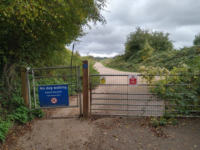
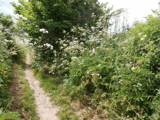
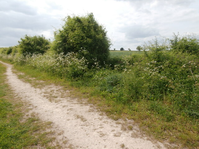
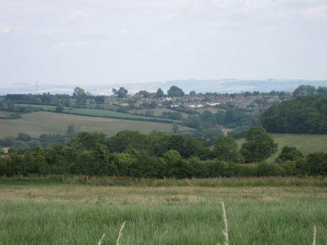
Kingsfield Brake is a picturesque woodland located in Somerset, England. Stretching across an area of approximately 250 acres, it is a charming and tranquil destination for nature enthusiasts and visitors seeking a peaceful retreat.

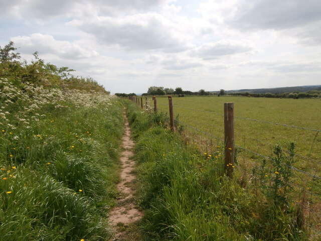
This woodland is primarily composed of a mix of deciduous and coniferous trees, creating a diverse ecosystem that supports a wide range of wildlife. The ancient trees, some of which are centuries old, provide a majestic backdrop to the woodland's beauty. Walking along the well-maintained trails, visitors can immerse themselves in the peaceful ambiance and enjoy the enchanting sights and sounds of nature.

Kingsfield Brake is also home to a variety of flora and fauna. The forest floor is adorned with a colorful carpet of wildflowers, while the canopy above is alive with the songs of numerous bird species. Lucky visitors may even catch a glimpse of the elusive deer or fox that call this woodland home.

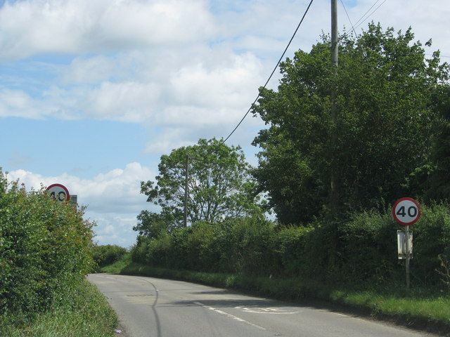
The woodland is well-equipped for visitors, with ample parking facilities and well-marked trails that cater to both leisurely strolls and more adventurous hikes. Picnic areas are scattered throughout the woodland, allowing visitors to relax and savor the serene surroundings.

Overall, Kingsfield Brake is a remarkable natural gem in Somerset, offering a serene escape from the hustle and bustle of everyday life. Whether it's for a leisurely walk, a picnic with family and friends, or simply to reconnect with nature, this woodland provides a truly memorable experience for all who visit.

If you have any feedback on the listing, please let us know in the comments section below.

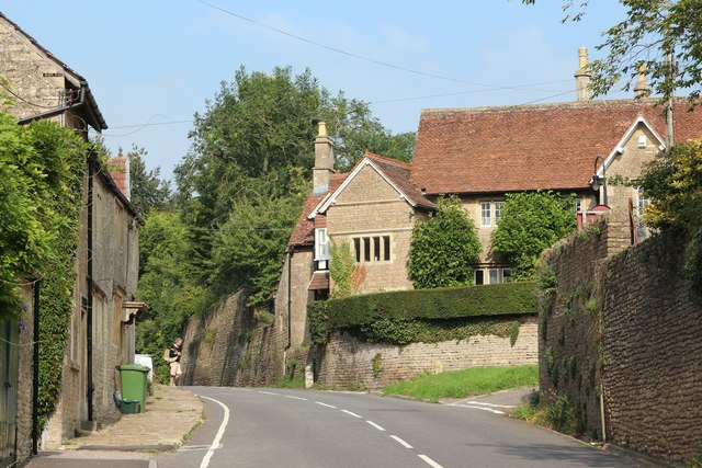
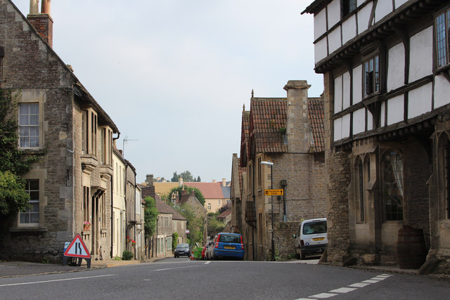
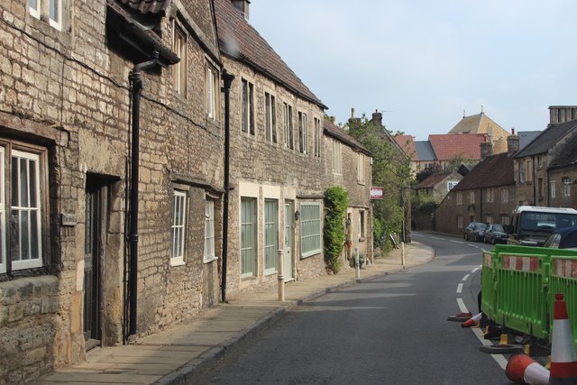
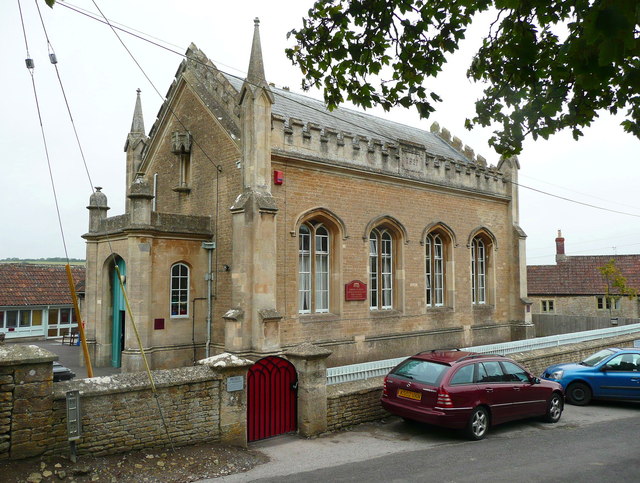
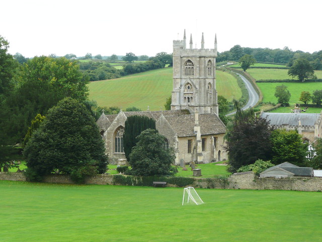
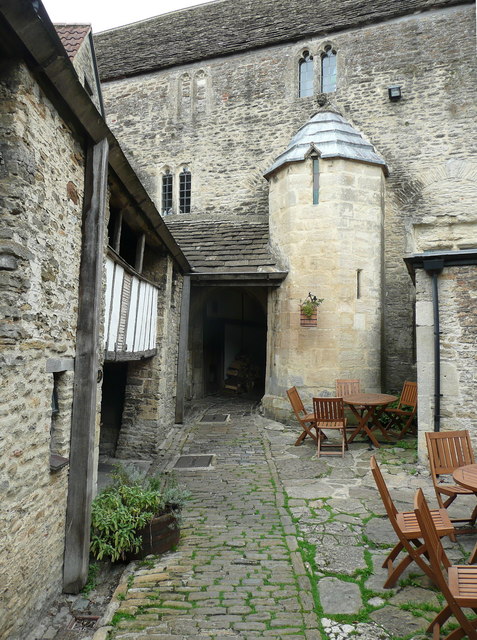
Kingsfield Brake Images

Images are sourced within 2km of 51.310879/-2.3471305 or Grid Reference ST7556. Thanks to Geograph Open Source API. All images are credited.

The George Inn in Norton St Philip Photograph of the George Inn in Norton St. Philip, looking south from the corner of Farleigh Road.
The George is reputedly one of England's oldest inns, and was the site for a sitting of the Bloody Assizes.
The George Inn in Norton St Philip
Photograph of the George Inn in Norton St. Philip, looking south from the corner of Farleigh Road. The George is reputedly one of England's oldest inns, and was the site for a sitting of the Bloody Assizes.
Gate on NCN24 Two Tunnels Greenway near Wellow The second of four swing gates on the NCN24 heading from Wellow to the Two Tunnels.  Springs on some of the gates are very stiff, especially on the first gate off Ford Road in Wellow.
Path here is compacted gravel in generally good condition, with a few potholes, and muddy/rutted patches in wet weather.  The path changes to tarmac past Midford.
Gate on NCN24 Two Tunnels Greenway near Wellow
The second of four swing gates on the NCN24 heading from Wellow to the Two Tunnels. Springs on some of the gates are very stiff, especially on the first gate off Ford Road in Wellow. Path here is compacted gravel in generally good condition, with a few potholes, and muddy/rutted patches in wet weather. The path changes to tarmac past Midford.
Pavilion, Hinton Charterhouse CC The new pavilion of Hinton Charterhouse Cricket Club <span class="nowrap"><a title="https://hccc.play-cricket.com/home" rel="nofollow ugc noopener" href="https://hccc.play-cricket.com/home">Link</a><img style="margin-left:2px;" alt="External link" title="External link - shift click to open in new window" src="https://s1.geograph.org.uk/img/external.png" width="10" height="10"/></span> , used for the first time in the 2023 season.  The spacious pavilion includes a bar, an indoor area for cricket teas, an open-sided but covered area for the scorer and other spectators to sit, and an electronic scoreboard which allows the par score according to the Duckworth-Lewis-Stern system to be displayed. The ground is on private land belonging to Hinton House.  A match is about to begin between Hinton Charterhouse CC Veterans XI and the Somerset Allsorts <span class="nowrap"><a title="https://hccc.play-cricket.com/match_details?id=5525607" rel="nofollow ugc noopener" href="https://hccc.play-cricket.com/match_details?id=5525607">Link</a><img style="margin-left:2px;" alt="External link" title="External link - shift click to open in new window" src="https://s1.geograph.org.uk/img/external.png" width="10" height="10"/></span> .
Pavilion, Hinton Charterhouse CC
The new pavilion of Hinton Charterhouse Cricket Club LinkExternal link , used for the first time in the 2023 season. The spacious pavilion includes a bar, an indoor area for cricket teas, an open-sided but covered area for the scorer and other spectators to sit, and an electronic scoreboard which allows the par score according to the Duckworth-Lewis-Stern system to be displayed. The ground is on private land belonging to Hinton House. A match is about to begin between Hinton Charterhouse CC Veterans XI and the Somerset Allsorts LinkExternal link .
Path towards Norton Barn A network of footpaths extends from the west of the village of Hinton Charterhouse, in varying states of upkeep.  This one is carefully fenced off from the adjacent field containing cattle and well trodden, though a little further on it becomes far less passable.
Path towards Norton Barn
A network of footpaths extends from the west of the village of Hinton Charterhouse, in varying states of upkeep. This one is carefully fenced off from the adjacent field containing cattle and well trodden, though a little further on it becomes far less passable.
A junction of two footpaths Barely visible in the hedge is a kissing gate which is where another footpath - in theory - branches off towards Wellow Lane from the well-marked one from the west side of Hinton Charterhouse across Hinton Farm.
A junction of two footpaths
Barely visible in the hedge is a kissing gate which is where another footpath - in theory - branches off towards Wellow Lane from the well-marked one from the west side of Hinton Charterhouse across Hinton Farm.
Maize field, Hinton Farm This bridleway heading towards Cleaves Wood crosses Hinton Farm <span class="nowrap"><a title="https://www.bigbarn.co.uk/producer/hinton-charterhouse/beeswax-dyson-farming-ltd-28496/" rel="nofollow ugc noopener" href="https://www.bigbarn.co.uk/producer/hinton-charterhouse/beeswax-dyson-farming-ltd-28496/">Link</a><img style="margin-left:2px;" alt="External link" title="External link - shift click to open in new window" src="https://s1.geograph.org.uk/img/external.png" width="10" height="10"/></span> which like much around Hinton Charterhouse is now connected to the Dyson family.  A field of maize can be glimpsed through the hedge.
Maize field, Hinton Farm
This bridleway heading towards Cleaves Wood crosses Hinton Farm LinkExternal link which like much around Hinton Charterhouse is now connected to the Dyson family. A field of maize can be glimpsed through the hedge.
Direction Sign – Signpost at crossroads in Norton St Philip Located on the northeast side of the crossroads of the A366 Farleigh Road and the B3110 Bath Road in Norton St Philip parish. 4 arms and pyramid finial. See <a title="https://www.geograph.org.uk/photo/6072119" href="https://www.geograph.org.uk/photo/6072119">Link</a> , <a title="https://www.geograph.org.uk/photo/4896857" href="https://www.geograph.org.uk/photo/4896857">Link</a> and <a title="https://www.geograph.org.uk/photo/3743844" href="https://www.geograph.org.uk/photo/3743844">Link</a> for photos before it was refurbished. The Farleigh Hungerford arm is new.

Milestone Society National ID: SO_ST7755
Direction Sign – Signpost at crossroads in Norton St Philip
Located on the northeast side of the crossroads of the A366 Farleigh Road and the B3110 Bath Road in Norton St Philip parish. 4 arms and pyramid finial. See Link , Link and Link for photos before it was refurbished. The Farleigh Hungerford arm is new. Milestone Society National ID: SO_ST7755
Direction Sign – Signpost on the B3110 Bath Road in Norton St Philip Located on the south side of a junction on the B3110 Bath Road north of the A366 Farleigh Road in Norton St Philip parish. 3 arms and pyramid finial. See <a title="https://www.geograph.org.uk/photo/6055950" href="https://www.geograph.org.uk/photo/6055950">Link</a> for a photo before it was refurbished. The Farleigh Hungerford arm is new.

Milestone Society National ID: SO_ST7755B
Direction Sign – Signpost on the B3110 Bath Road in Norton St Philip
Located on the south side of a junction on the B3110 Bath Road north of the A366 Farleigh Road in Norton St Philip parish. 3 arms and pyramid finial. See Link for a photo before it was refurbished. The Farleigh Hungerford arm is new. Milestone Society National ID: SO_ST7755B
Old Milepost by the A366, Church Street, Norton St Philip Cast iron post by the A366, in parish of Norton St Philip (Mendip District), Church Street, in front of The Cottage, standing back to a wall, on South-east side of road. Radstock iron casting, erected by the Radstock Turnpike Trust in the 19th century. 

Inscription reads:-
: WELLS / 17 : : LONDON / 105 : : TROWBRIDGE / 6 / DEVIZES / 16 : : NORTON. ST PHILLIPS (vertical) : 

Grade II listed. List Entry Number: 1058156
<span class="nowrap"><a title="https://historicengland.org.uk/listing/the-list/list-entry/1058156" rel="nofollow ugc noopener" href="https://historicengland.org.uk/listing/the-list/list-entry/1058156">Link</a><img style="margin-left:2px;" alt="External link" title="External link - shift click to open in new window" src="https://s1.geograph.org.uk/img/external.png" width="10" height="10"/></span>

Milestone Society National ID: SO_LBWL105
Old Milepost by the A366, Church Street, Norton St Philip
Cast iron post by the A366, in parish of Norton St Philip (Mendip District), Church Street, in front of The Cottage, standing back to a wall, on South-east side of road. Radstock iron casting, erected by the Radstock Turnpike Trust in the 19th century. Inscription reads:- : WELLS / 17 : : LONDON / 105 : : TROWBRIDGE / 6 / DEVIZES / 16 : : NORTON. ST PHILLIPS (vertical) : Grade II listed. List Entry Number: 1058156 LinkExternal link Milestone Society National ID: SO_LBWL105
Norton St Philip Seen from Baggeridge Farm byway a few kms to the west.  Bratton white horse just visible in the distance
Norton St Philip
Seen from Baggeridge Farm byway a few kms to the west. Bratton white horse just visible in the distance
The A366 leaves Tucker's Bottom
The George Inn, Norton St. Philip 1955 Nothing appears to have changed until the present day except they have re-painted the road markings. Compare with <a href="https://www.geograph.org.uk/photo/63400">ST7755 : The George Inn at Norton St Philip</a> by Ian Knox
The George Inn, Norton St. Philip 1955
Nothing appears to have changed until the present day except they have re-painted the road markings. Compare with ST7755 : The George Inn at Norton St Philip by Ian Knox
Church Street
Church Street
High Street
High Street
High Street
High Street
Church school, Norton St Philip Dated 1827. Designed by J. Thompson.
Church school, Norton St Philip
Dated 1827. Designed by J. Thompson.
View of the church from the George Inn
The courtyard of the George Inn Showing medieval windows and staircase turret. There is a wooden gallery on the left.
The courtyard of the George Inn
Showing medieval windows and staircase turret. There is a wooden gallery on the left.
Show me another place!

Kingsfield Brake is located at Grid Ref: ST7556 (Lat: 51.310879, Lng: -2.3471305)

Unitary Authority: Bath and North East Somerset

Police Authority: Avon and Somerset

What 3 Words

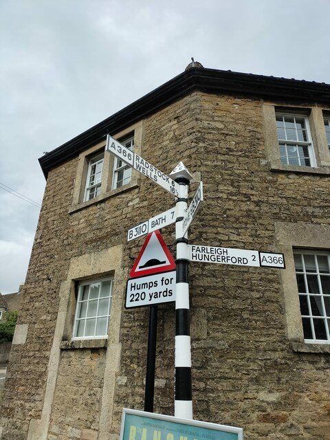
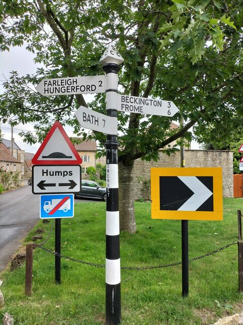
///watch.succeed.interlude. Near Hinton Charterhouse, Somerset

Related Wikis

Cleaves Wood

Cleaves Wood (grid reference ST758576) is a 40.38 hectare biological Site of Special Scientific Interest (SSSI) near the village of Wellow in Bath and...

Hinton Charterhouse Field

Hinton Charterhouse Field (grid reference ST764574) is a 0.32 hectare biological Site of Special Scientific Interest (SSSI) near the village of Hinton...

Hinton Hill, Wellow

Hinton Hill, Wellow (grid reference ST757582) is a 0.25 hectare geological Site of Special Scientific Interest (SSSI) near the village of Wellow in Somerset...

Hinton Charterhouse Pit

Hinton Charterhouse Pit (grid reference ST772573) is a 0.4 hectare geological Site of Special Scientific Interest near the village of Hinton Charterhouse...

Norton Brook

Norton Brook is a small stream in Somerset, United Kingdom. The stream is a tributary of Wellow Brook. The body of water is located near Norton St Philip...

Church of St Philip and St James, Norton St Philip

The Church of St Philip and St James in Norton St Philip within the English county of Somerset is a Grade II* listed building.The parish is part of the...

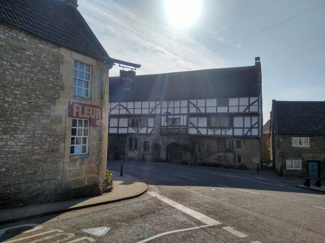
The George Inn, Norton St Philip

The George Inn in Norton St Philip, Somerset, England, one of a number of establishments that claims to be Britain's oldest tavern, is located in the centre...

Hinton House, Hinton Charterhouse

Hinton House in Hinton Charterhouse, Somerset, England was built around 1700. It is a Grade II* listed building. == History == The house was built around...

Nearby Amenities

Located within 500m of 51.310879,-2.3471305
Barrier: stile
Lat/Long: 51.3140084/-2.3451705
Ford: yes
Lat/Long: 51.3132741/-2.3449997
The data included in this document is from www.openstreetmap.org. The data is made available under ODbL.

Have you been to Kingsfield Brake?

Leave your review of Kingsfield Brake below (or comments, questions and feedback).