Ring Wood

Wood, Forest in Somerset

England

Ring Wood

Wellow Ford Ford on Mill Hill in Wellow, taken from the southern side of the ford.
Photograph taken during a dry spell in Summer; the ford is running very low.  Note that after heavy rainfall the ford can run much higher with a considerable force of water which can make crossing hazardous.
Wellow Ford Credit: Kevin Pearson

Ring Wood is a small but picturesque woodland area located in Somerset, England. Nestled within the larger Exmoor National Park, this tranquil forest offers visitors a peaceful escape from the hustle and bustle of everyday life.

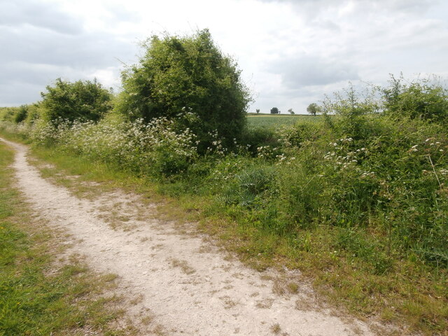
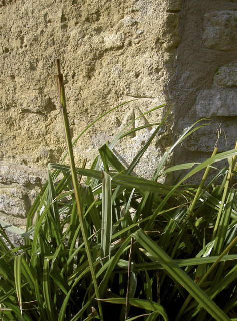
Covering an area of approximately 100 acres, Ring Wood is characterized by its dense canopy of towering trees, including oak, beech, and hazel. The forest floor is blanketed with a lush carpet of ferns, mosses, and wildflowers, creating a vibrant and enchanting atmosphere.

Many walking trails wind their way through the wood, allowing visitors to explore its natural beauty at their own pace. These paths range from easy strolls to more challenging hikes, catering to all levels of fitness and experience. Along the way, hikers may encounter a variety of wildlife, such as deer, badgers, and a plethora of bird species.

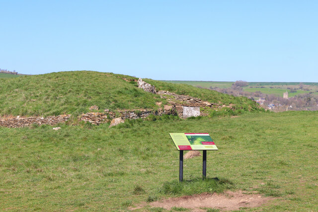
The wood is also home to several ancient monuments and historical sites, adding a touch of intrigue to its natural charm. One notable feature is a ring-shaped earthwork, believed to be a prehistoric hillfort, from which the wood gets its name. This archaeological site offers a glimpse into the area's rich history and provides visitors with an opportunity to connect with the past.

In addition to its natural and historical attractions, Ring Wood offers amenities for visitors, including picnic areas, information boards, and car parking facilities. These amenities ensure that visitors can comfortably enjoy their time in the forest and make the most of their experience.

Overall, Ring Wood is a hidden gem within Somerset, offering a serene and captivating environment that appeals to nature lovers, history enthusiasts, and anyone seeking a peaceful retreat in the heart of the countryside.

If you have any feedback on the listing, please let us know in the comments section below.
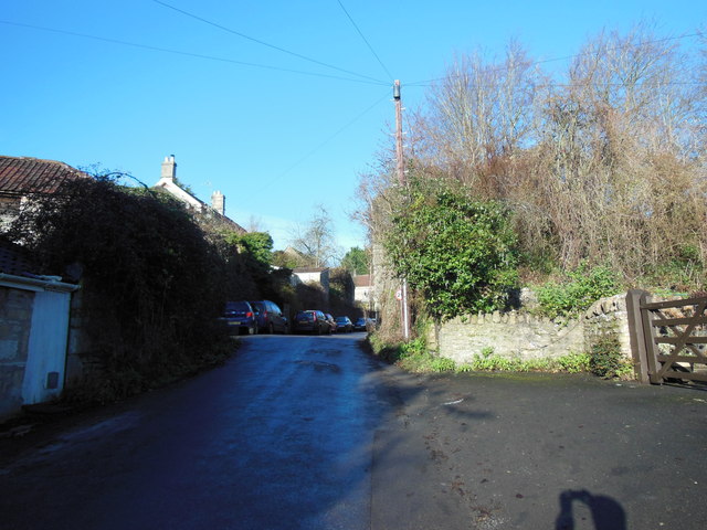
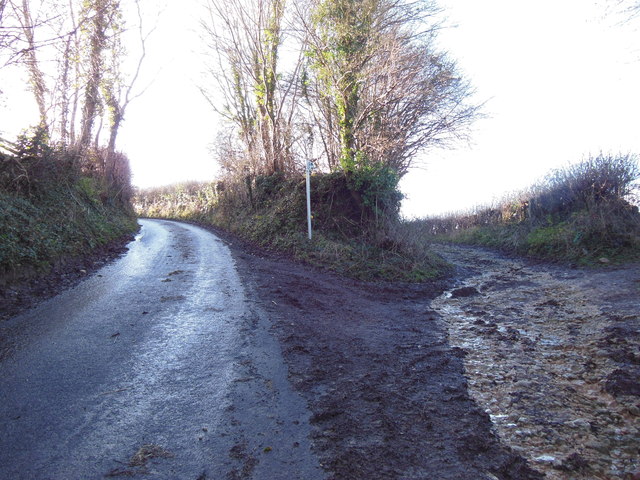
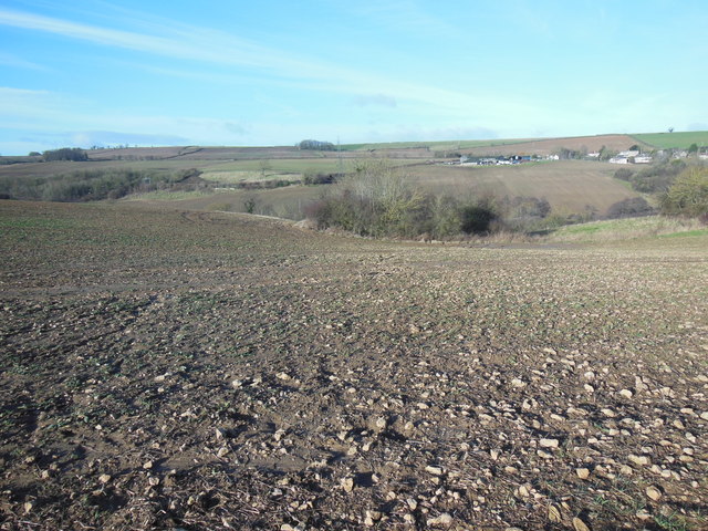
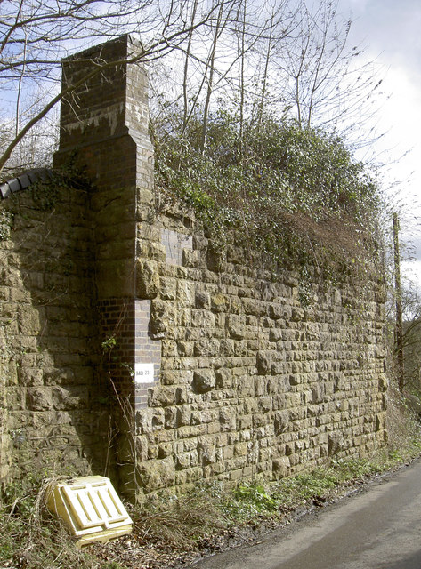
Ring Wood Images

Images are sourced within 2km of 51.308723/-2.355392 or Grid Reference ST7556. Thanks to Geograph Open Source API. All images are credited.

Wellow Ford Ford on Mill Hill in Wellow, taken from the southern side of the ford.
Photograph taken during a dry spell in Summer; the ford is running very low.  Note that after heavy rainfall the ford can run much higher with a considerable force of water which can make crossing hazardous.
Wellow Ford
Ford on Mill Hill in Wellow, taken from the southern side of the ford. Photograph taken during a dry spell in Summer; the ford is running very low. Note that after heavy rainfall the ford can run much higher with a considerable force of water which can make crossing hazardous.
Gate on NCN24 Two Tunnels Greenway near Wellow The second of four swing gates on the NCN24 heading from Wellow to the Two Tunnels.  Springs on some of the gates are very stiff, especially on the first gate off Ford Road in Wellow.
Path here is compacted gravel in generally good condition, with a few potholes, and muddy/rutted patches in wet weather.  The path changes to tarmac past Midford.
Gate on NCN24 Two Tunnels Greenway near Wellow
The second of four swing gates on the NCN24 heading from Wellow to the Two Tunnels. Springs on some of the gates are very stiff, especially on the first gate off Ford Road in Wellow. Path here is compacted gravel in generally good condition, with a few potholes, and muddy/rutted patches in wet weather. The path changes to tarmac past Midford.
Wellow Brook Footbridge over Wellow Brook.
Wellow Brook
Footbridge over Wellow Brook.
Stony Littleton Long Barrow Long Barrow overlooking Wellow.
Stony Littleton Long Barrow
Long Barrow overlooking Wellow.
Maize field, Hinton Farm This bridleway heading towards Cleaves Wood crosses Hinton Farm <span class="nowrap"><a title="https://www.bigbarn.co.uk/producer/hinton-charterhouse/beeswax-dyson-farming-ltd-28496/" rel="nofollow ugc noopener" href="https://www.bigbarn.co.uk/producer/hinton-charterhouse/beeswax-dyson-farming-ltd-28496/">Link</a><img style="margin-left:2px;" alt="External link" title="External link - shift click to open in new window" src="https://s1.geograph.org.uk/img/external.png" width="10" height="10"/></span> which like much around Hinton Charterhouse is now connected to the Dyson family.  A field of maize can be glimpsed through the hedge.
Maize field, Hinton Farm
This bridleway heading towards Cleaves Wood crosses Hinton Farm LinkExternal link which like much around Hinton Charterhouse is now connected to the Dyson family. A field of maize can be glimpsed through the hedge.
The A366 drops down the hill towards Tucker's Bottom
The A366 leaves Tucker's Bottom
The ford in spate After heavy rainfall in the preceding days and weeks, the water was nearly a foot deep, according to the marker. A bridge provides an alternative for pedestrians.
The ford in spate
After heavy rainfall in the preceding days and weeks, the water was nearly a foot deep, according to the marker. A bridge provides an alternative for pedestrians.
Site of railway bridge The railway line, here running alongside Wellow Brook, crossed the road here.
Site of railway bridge
The railway line, here running alongside Wellow Brook, crossed the road here.
Beginning of the bridleway The bridleway to Stoney Littleton starts here. The muddy conditions here gave only a hint of the quagmire which awaited further along.
Beginning of the bridleway
The bridleway to Stoney Littleton starts here. The muddy conditions here gave only a hint of the quagmire which awaited further along.
View towards Willow Farm The steep-sided little valley between here and the farm buildings is well hidden from this viewpoint.
View towards Willow Farm
The steep-sided little valley between here and the farm buildings is well hidden from this viewpoint.
A bridge to the sky The former Somerset and Dorset railway bridge in the heart of Wellow, once a busy branch but now dismantled. The line closed completely in 1966 and the tracks removed by the 1970s. See <a href="https://www.geograph.org.uk/photo/3862534">ST7458 : The last of the line</a> for the other side.

A benchmark, an old one but not from the First Levelling of the mid-1800s, has been made in the lower buttress - see <a href="https://www.geograph.org.uk/photo/3862306">ST7458 : Bridge benchmark</a>.
A bridge to the sky
The former Somerset and Dorset railway bridge in the heart of Wellow, once a busy branch but now dismantled. The line closed completely in 1966 and the tracks removed by the 1970s. See ST7458 : The last of the line for the other side. A benchmark, an old one but not from the First Levelling of the mid-1800s, has been made in the lower buttress - see ST7458 : Bridge benchmark.
Bridge benchmark The old railway bridge in Mill Hill stands out clearly in the Spring sunshine. See <span class="nowrap"><a title="http://www.bench-marks.org.uk/bm55002" rel="nofollow ugc noopener" href="http://www.bench-marks.org.uk/bm55002">Link</a><img style="margin-left:2px;" alt="External link" title="External link - shift click to open in new window" src="https://s1.geograph.org.uk/img/external.png" width="10" height="10"/></span> for the entry in the Benchmark Database and <a href="https://www.geograph.org.uk/photo/3862303">ST7458 : A bridge to the sky</a> for a wider view.
Bridge benchmark
The old railway bridge in Mill Hill stands out clearly in the Spring sunshine. See LinkExternal link for the entry in the Benchmark Database and ST7458 : A bridge to the sky for a wider view.
Mill Hill benchmark A cutmark, as listed in the Benchmark Database: <span class="nowrap"><a title="http://www.bench-marks.org.uk/bm54676" rel="nofollow ugc noopener" href="http://www.bench-marks.org.uk/bm54676">Link</a><img style="margin-left:2px;" alt="External link" title="External link - shift click to open in new window" src="https://s1.geograph.org.uk/img/external.png" width="10" height="10"/></span> , on the corner of a house in Mill Hill. See <a href="https://www.geograph.org.uk/photo/3862310">ST7458 : Terrace of cottages</a> for a wider view.
Mill Hill benchmark
A cutmark, as listed in the Benchmark Database: LinkExternal link , on the corner of a house in Mill Hill. See ST7458 : Terrace of cottages for a wider view.
Terrace of cottages Some of the charming older houses in Wellow. See <a href="https://www.geograph.org.uk/photo/3862309">ST7458 : Mill Hill benchmark</a> for a look at a benchmark on the corner.
Terrace of cottages
Some of the charming older houses in Wellow. See ST7458 : Mill Hill benchmark for a look at a benchmark on the corner.
The last of the line Wellow was on part of the Somerset and Dorset railway until the axe of 1966. The bridge that used to carry the line over the road was dismantled but the top of the old stationmaster's house can still be seen. See <a href="https://www.geograph.org.uk/photo/3862303">ST7458 : A bridge to the sky</a> for the other side of the old bridge.
The last of the line
Wellow was on part of the Somerset and Dorset railway until the axe of 1966. The bridge that used to carry the line over the road was dismantled but the top of the old stationmaster's house can still be seen. See ST7458 : A bridge to the sky for the other side of the old bridge.
Wellow Brook station A small installation on the Wellow Brook to keep the levels on the ford in check.
Wellow Brook station
A small installation on the Wellow Brook to keep the levels on the ford in check.
Running high The ford at Wellow, showing the effects of the winter rains.
Running high
The ford at Wellow, showing the effects of the winter rains.
Show me another place!

Ring Wood is located at Grid Ref: ST7556 (Lat: 51.308723, Lng: -2.355392)

Unitary Authority: Bath and North East Somerset

Police Authority: Avon and Somerset

What 3 Words

///highs.invest.patrolled. Near Wellow, Somerset

Related Wikis

Cleaves Wood

Cleaves Wood (grid reference ST758576) is a 40.38 hectare biological Site of Special Scientific Interest (SSSI) near the village of Wellow in Bath and...

Hinton Charterhouse Field

Hinton Charterhouse Field (grid reference ST764574) is a 0.32 hectare biological Site of Special Scientific Interest (SSSI) near the village of Hinton...
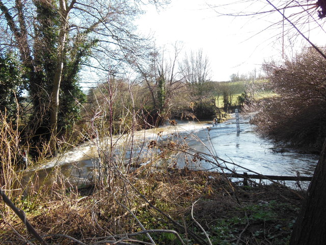
Norton Brook

Norton Brook is a small stream in Somerset, United Kingdom. The stream is a tributary of Wellow Brook. The body of water is located near Norton St Philip...

Hinton Hill, Wellow

Hinton Hill, Wellow (grid reference ST757582) is a 0.25 hectare geological Site of Special Scientific Interest (SSSI) near the village of Wellow in Somerset...

Stoney Littleton Long Barrow

The Stoney Littleton Long Barrow (also known as the Bath Tumulus and the Wellow Tumulus) is a Neolithic chambered tomb with multiple burial chambers, located...

Hinton Charterhouse Pit

Hinton Charterhouse Pit (grid reference ST772573) is a 0.4 hectare geological Site of Special Scientific Interest near the village of Hinton Charterhouse...

Wellow (Somerset) railway station

Wellow railway station was a station on the Somerset and Dorset Joint Railway at Wellow in the county of Somerset in England. Opened on 20 July 1874, the...

Wellow, Somerset

Wellow is a village and civil parish in Somerset, England, about 5 miles (8.0 km) south of Bath. The parish, which includes the hamlets of Twinhoe, White...

Nearby Amenities

Located within 500m of 51.308723,-2.355392
Power: pole
Transformer: distribution
Lat/Long: 51.3113119/-2.3603004
Power: pole
Lat/Long: 51.3120596/-2.3595866
The data included in this document is from www.openstreetmap.org. The data is made available under ODbL.

Have you been to Ring Wood?

Leave your review of Ring Wood below (or comments, questions and feedback).