New Plantation
Wood, Forest in Somerset
England
New Plantation
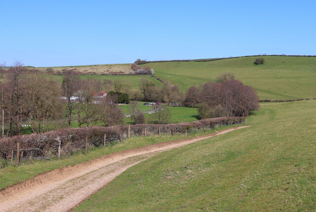
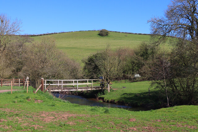
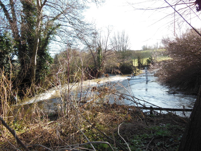
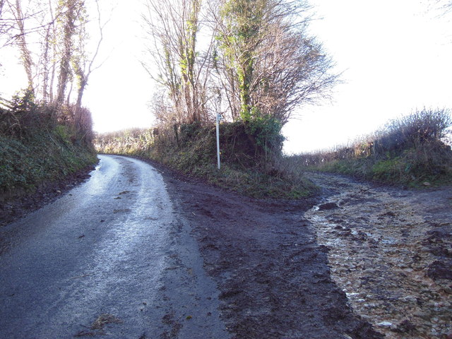
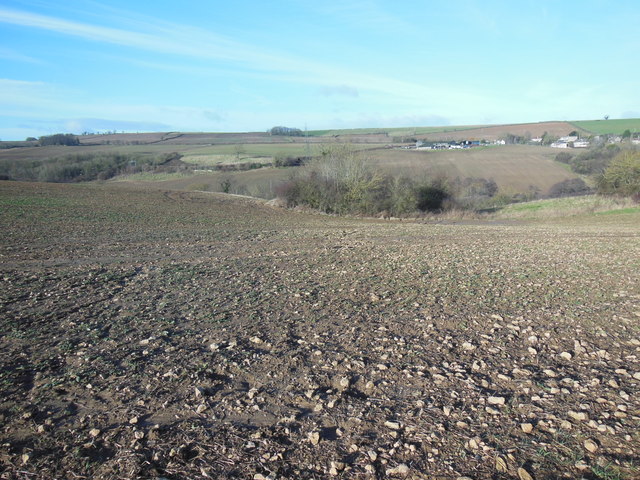
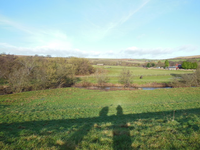
New Plantation, Somerset, commonly referred to as Wood or Forest, is a picturesque area located in the county of Somerset, England. Covering approximately 200 acres, it is known for its dense woodlands, meandering trails, and diverse wildlife.
The plantation is primarily composed of a mixed deciduous and coniferous forest, boasting a rich variety of tree species such as oak, beech, pine, and birch. The dense foliage creates a tranquil and secluded atmosphere, making it a popular destination for nature enthusiasts and hikers. The well-maintained trails wind through the woodland, offering visitors the opportunity to explore and immerse themselves in the natural beauty of the area.
Wildlife thrives in New Plantation, Somerset, with numerous species making it their home. Birdwatchers can spot a range of avian treasures, including woodpeckers, owls, and various songbirds. The forest is also home to small mammals like squirrels, rabbits, and foxes, as well as larger mammals such as deer and badgers.
The plantation is managed by local authorities to ensure its preservation and accessibility to the public. Visitors can enjoy amenities such as picnic areas and benches strategically placed throughout the woodland, allowing them to take in the breathtaking views and enjoy a moment of tranquility.
New Plantation, Somerset, is a haven for those seeking solace in nature. Its stunning woodlands, diverse wildlife, and well-maintained trails make it a must-visit destination for both locals and tourists alike.
If you have any feedback on the listing, please let us know in the comments section below.
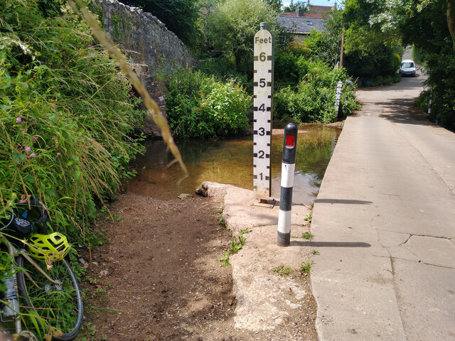
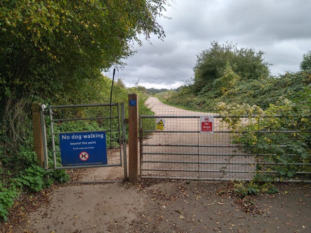
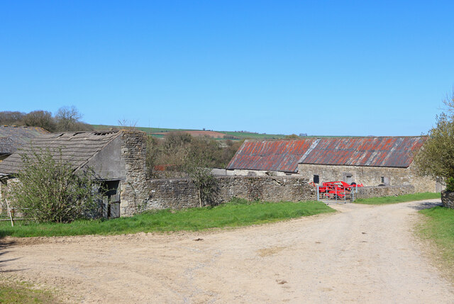
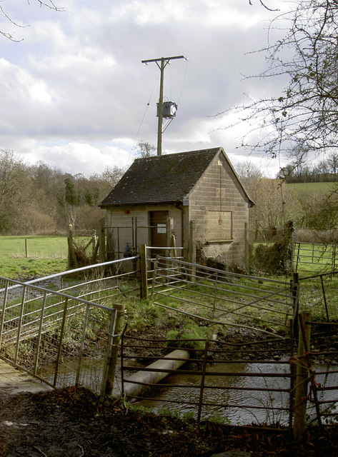
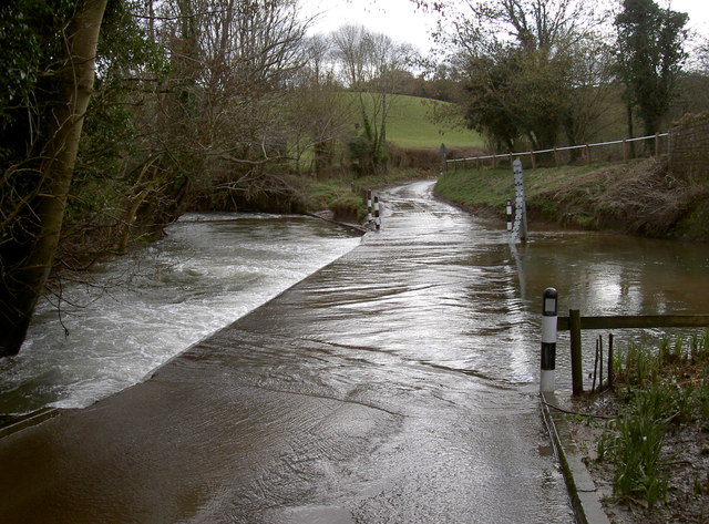
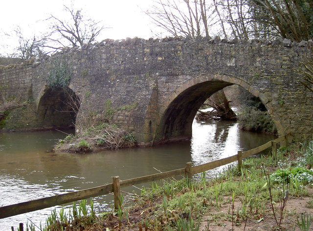
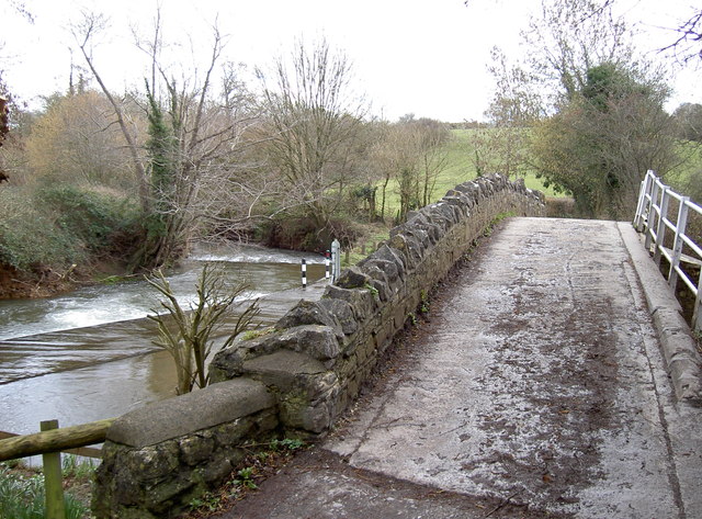
New Plantation Images
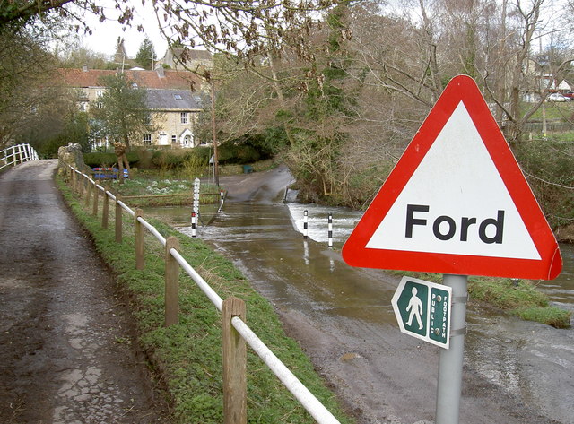
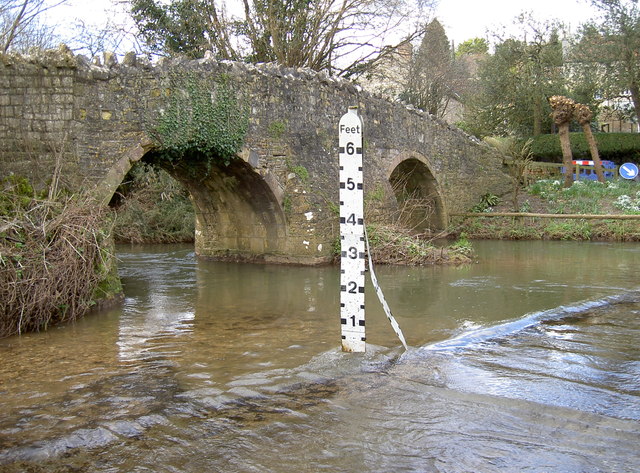
Images are sourced within 2km of 51.306131/-2.3589153 or Grid Reference ST7556. Thanks to Geograph Open Source API. All images are credited.
New Plantation is located at Grid Ref: ST7556 (Lat: 51.306131, Lng: -2.3589153)
Unitary Authority: Bath and North East Somerset
Police Authority: Avon and Somerset
What 3 Words
///powder.facelift.reinvest. Near Wellow, Somerset
Nearby Locations
Related Wikis

Cleaves Wood
Cleaves Wood (grid reference ST758576) is a 40.38 hectare biological Site of Special Scientific Interest (SSSI) near the village of Wellow in Bath and...

Hinton Charterhouse Field
Hinton Charterhouse Field (grid reference ST764574) is a 0.32 hectare biological Site of Special Scientific Interest (SSSI) near the village of Hinton...

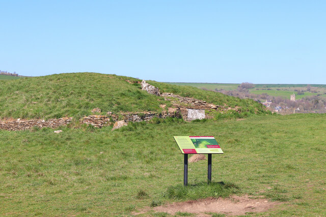
Stoney Littleton Long Barrow
The Stoney Littleton Long Barrow (also known as the Bath Tumulus and the Wellow Tumulus) is a Neolithic chambered tomb with multiple burial chambers, located...

Norton Brook
Norton Brook is a small stream in Somerset, United Kingdom. The stream is a tributary of Wellow Brook. The body of water is located near Norton St Philip...

Hinton Hill, Wellow
Hinton Hill, Wellow (grid reference ST757582) is a 0.25 hectare geological Site of Special Scientific Interest (SSSI) near the village of Wellow in Somerset...

Wellow (Somerset) railway station
Wellow railway station was a station on the Somerset and Dorset Joint Railway at Wellow in the county of Somerset in England. Opened on 20 July 1874, the...

Wellow, Somerset
Wellow is a village and civil parish in Somerset, England, about 5 miles (8.0 km) south of Bath. The parish, which includes the hamlets of Twinhoe, White...

Church of St Philip and St James, Norton St Philip
The Church of St Philip and St James in Norton St Philip within the English county of Somerset is a Grade II* listed building.The parish is part of the...
Nearby Amenities
Located within 500m of 51.306131,-2.3589153Have you been to New Plantation?
Leave your review of New Plantation below (or comments, questions and feedback).