Baggeridge Wood
Wood, Forest in Somerset
England
Baggeridge Wood
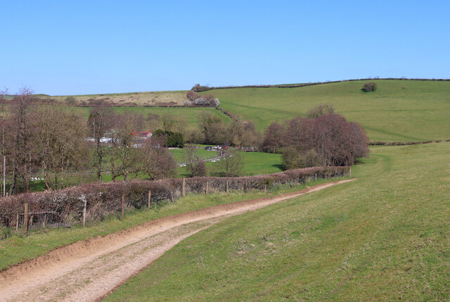
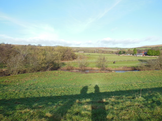
Baggeridge Wood is a beautiful woodland located in Somerset, England. It covers an area of approximately 200 acres and is known for its diverse range of flora and fauna. The wood is situated near the village of Baggeridge and is a popular destination for nature lovers and outdoor enthusiasts.
The wood is predominantly made up of deciduous trees, such as oak, beech, and birch, which provide a stunning display of colors during the autumn months. There are also areas of coniferous trees, including pine and spruce, which add to the variety of the woodland.
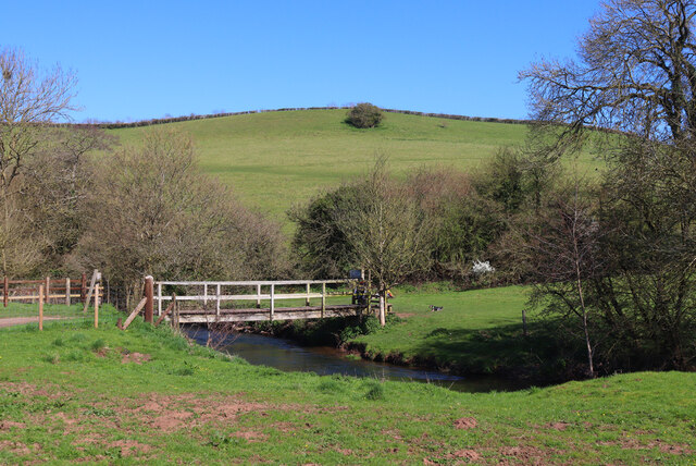
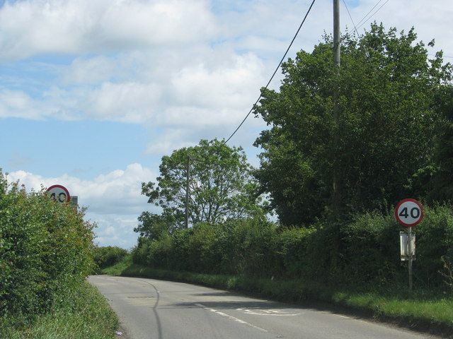
As visitors explore Baggeridge Wood, they can enjoy a network of well-maintained walking trails that lead through the forest. These trails cater to all levels of fitness and provide opportunities to spot native wildlife, including deer, squirrels, and a variety of bird species.
In addition to its natural beauty, Baggeridge Wood offers recreational facilities for visitors. There is a picnic area where families can enjoy a meal surrounded by nature, as well as a children's play area to keep the little ones entertained. The wood also has a designated area for barbecues, making it a popular spot for gatherings and events.
Baggeridge Wood is managed by the local council, ensuring its preservation and protection for future generations to enjoy. It is open to the public year-round, and admission is free, making it an accessible and affordable destination for those seeking a peaceful retreat in the heart of Somerset.
If you have any feedback on the listing, please let us know in the comments section below.
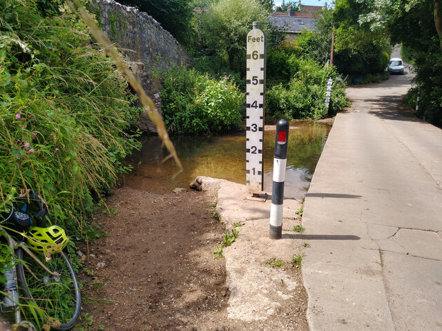
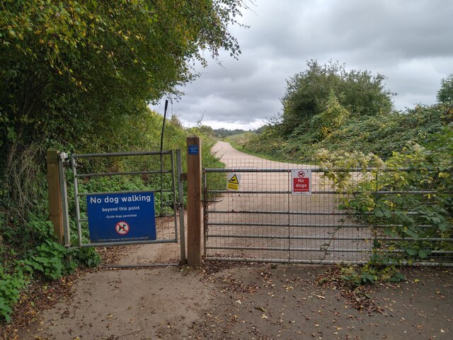
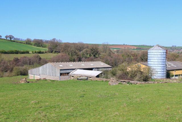
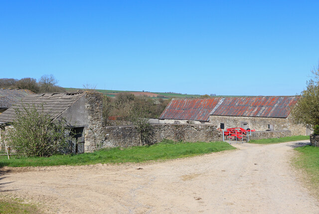
Baggeridge Wood Images
Images are sourced within 2km of 51.306174/-2.359676 or Grid Reference ST7556. Thanks to Geograph Open Source API. All images are credited.
Baggeridge Wood is located at Grid Ref: ST7556 (Lat: 51.306174, Lng: -2.359676)
Unitary Authority: Bath and North East Somerset
Police Authority: Avon and Somerset
What 3 Words
///shady.ruffle.pounces. Near Wellow, Somerset
Nearby Locations
Related Wikis

Cleaves Wood
Cleaves Wood (grid reference ST758576) is a 40.38 hectare biological Site of Special Scientific Interest (SSSI) near the village of Wellow in Bath and...

Hinton Charterhouse Field
Hinton Charterhouse Field (grid reference ST764574) is a 0.32 hectare biological Site of Special Scientific Interest (SSSI) near the village of Hinton...

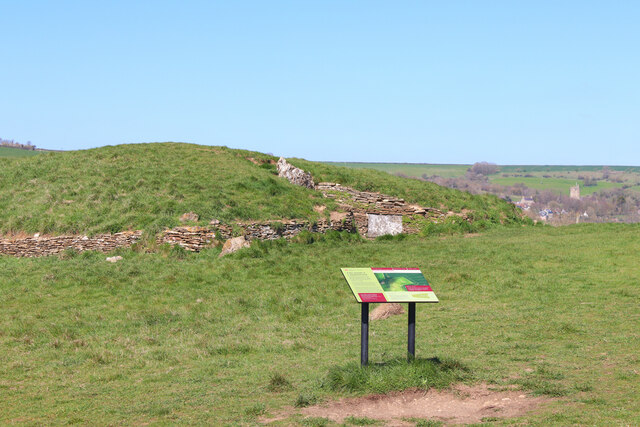
Stoney Littleton Long Barrow
The Stoney Littleton Long Barrow (also known as the Bath Tumulus and the Wellow Tumulus) is a Neolithic chambered tomb with multiple burial chambers, located...

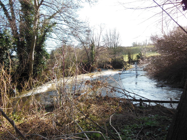
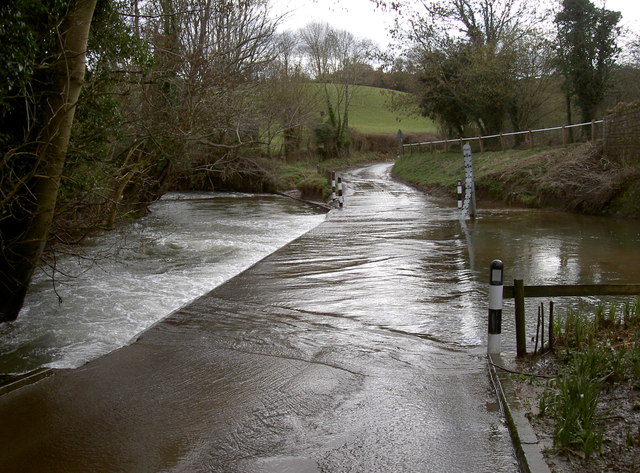
Norton Brook
Norton Brook is a small stream in Somerset, United Kingdom. The stream is a tributary of Wellow Brook. The body of water is located near Norton St Philip...

Hinton Hill, Wellow
Hinton Hill, Wellow (grid reference ST757582) is a 0.25 hectare geological Site of Special Scientific Interest (SSSI) near the village of Wellow in Somerset...

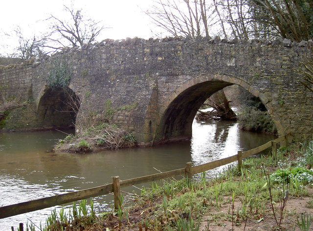
Wellow (Somerset) railway station
Wellow railway station was a station on the Somerset and Dorset Joint Railway at Wellow in the county of Somerset in England. Opened on 20 July 1874, the...

Wellow, Somerset
Wellow is a village and civil parish in Somerset, England, about 5 miles (8.0 km) south of Bath. The parish, which includes the hamlets of Twinhoe, White...
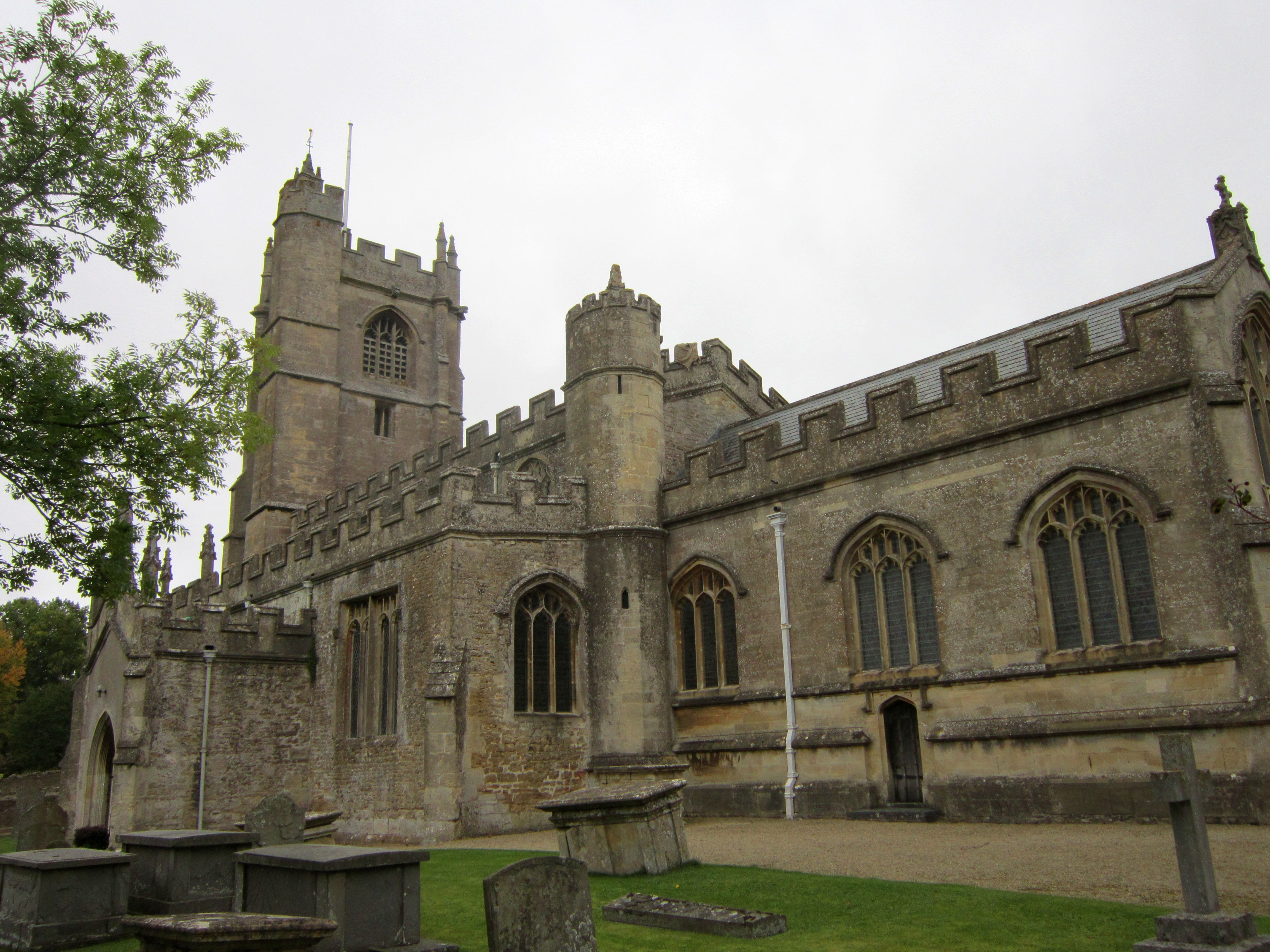
Church of St Julian, Wellow
The Church of St Julian in Wellow, Somerset, England has origins before the 12th century although the present building dates from 1372. It has been designated...
Nearby Amenities
Located within 500m of 51.306174,-2.359676Have you been to Baggeridge Wood?
Leave your review of Baggeridge Wood below (or comments, questions and feedback).