Harely Copse
Wood, Forest in Dorset
England
Harely Copse
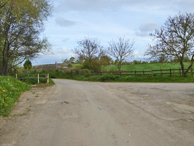
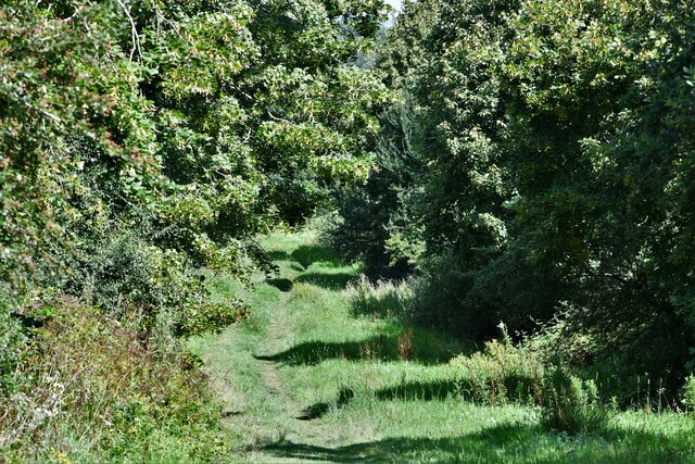
Harley Copse is a picturesque woodland area located in the county of Dorset, England. Covering an area of approximately 50 acres, it is a beloved natural attraction for both locals and tourists alike. The copse is situated near the village of Harley, which is known for its tranquil and rural setting.
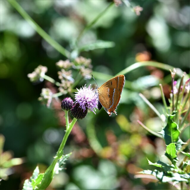
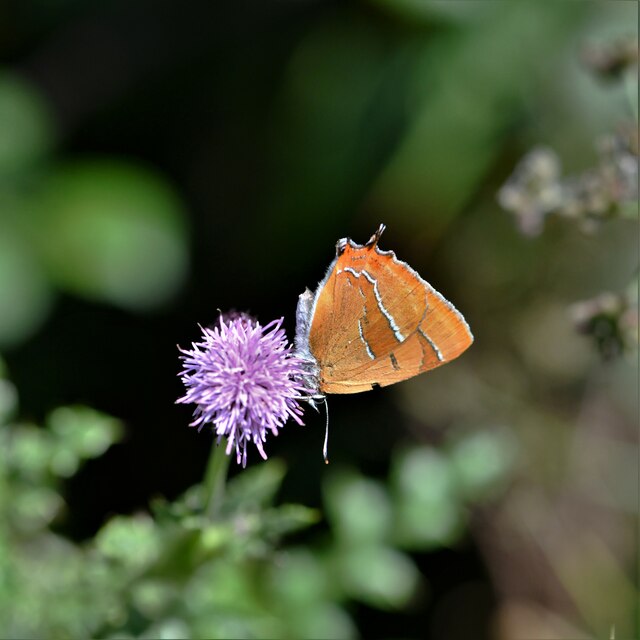
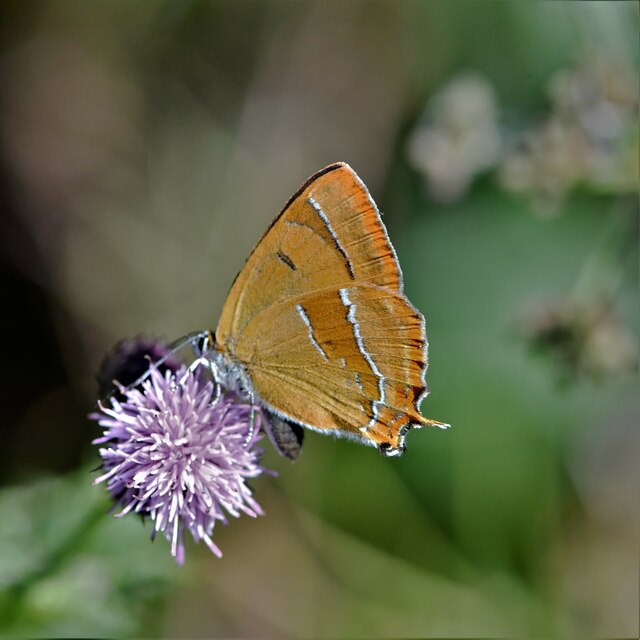
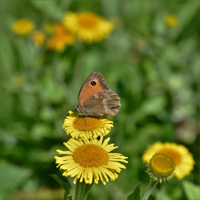
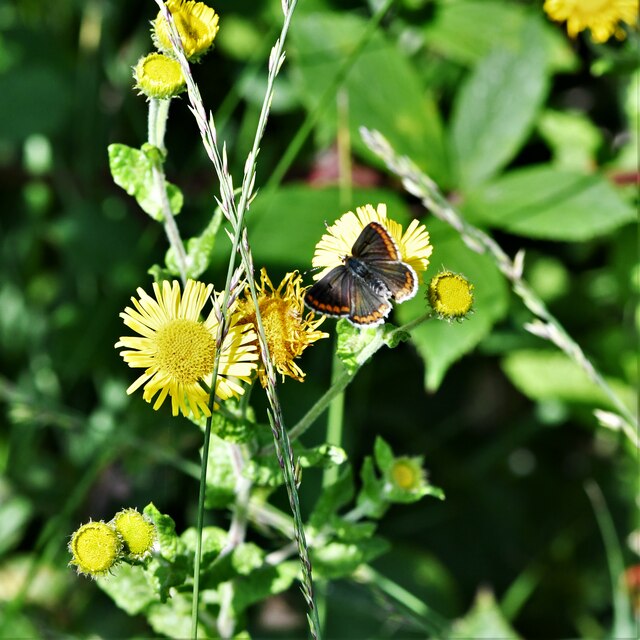
The woodland is predominantly made up of native broadleaf trees, such as oak, beech, and ash, which create a dense and vibrant canopy overhead. These trees provide a home to a variety of wildlife, including birds, squirrels, and deer, making it a popular spot for nature enthusiasts and birdwatchers.
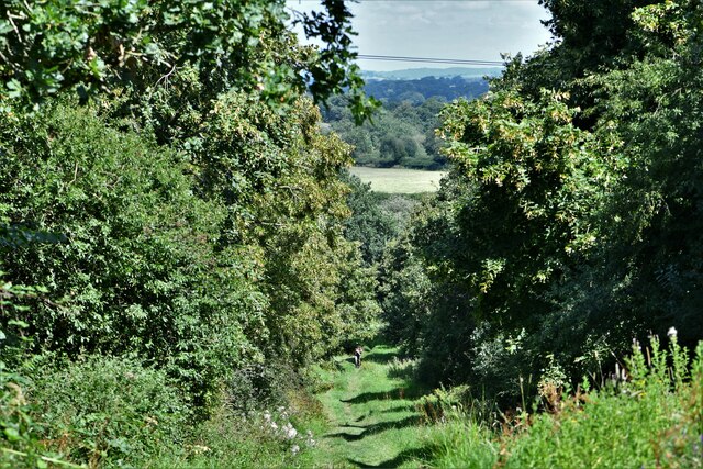
Visitors to Harley Copse can enjoy peaceful walks along the well-maintained footpaths that wind through the woods. The paths vary in difficulty, accommodating both casual strollers and more experienced hikers. Along the way, there are several benches strategically placed for those wishing to take a moment to enjoy the serene surroundings.
The copse is particularly breathtaking during the spring and summer months when the forest floor becomes a carpet of wildflowers, including bluebells and primroses. This burst of color adds to the overall charm and beauty of the area.
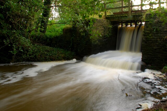
Harley Copse is also a designated Site of Special Scientific Interest (SSSI) due to its rich biodiversity and ecological importance. The management of the copse is carefully overseen by local conservation organizations to preserve its natural habitats and protect the wildlife that calls it home.
Overall, Harley Copse is a captivating woodland retreat, offering a peaceful sanctuary for those seeking a connection with nature and a chance to explore the idyllic countryside of Dorset.
If you have any feedback on the listing, please let us know in the comments section below.
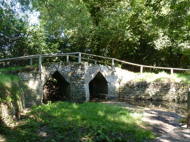
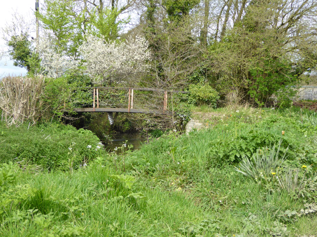
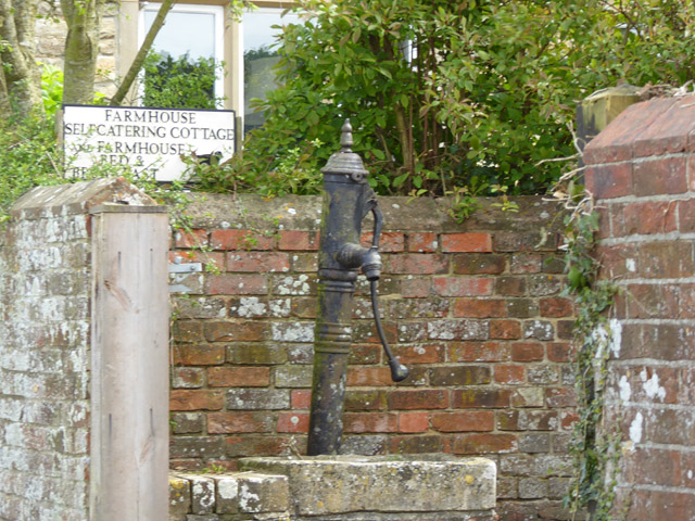
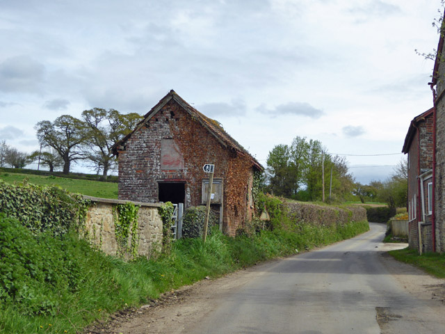
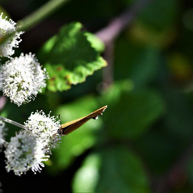
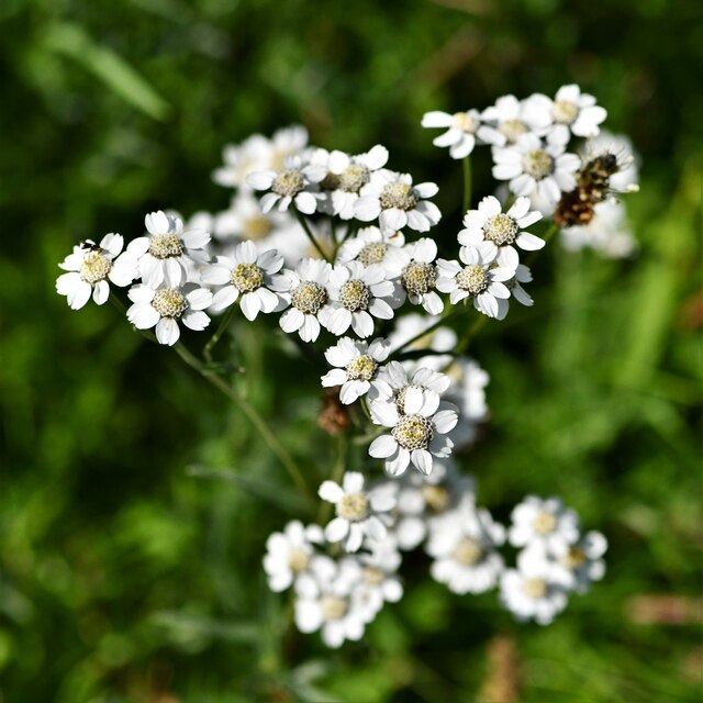
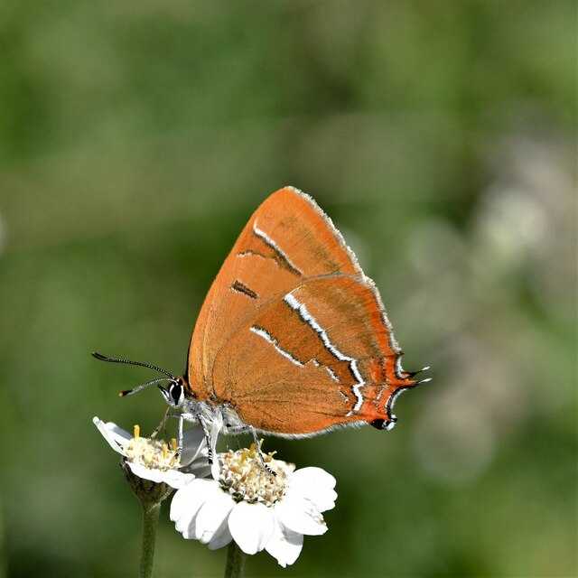
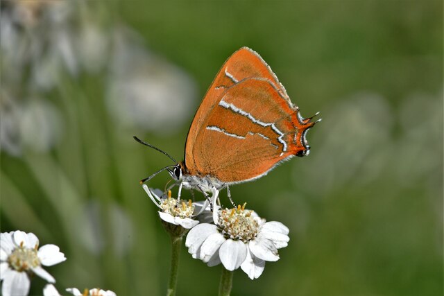
Harely Copse Images
Images are sourced within 2km of 50.893288/-2.3522187 or Grid Reference ST7510. Thanks to Geograph Open Source API. All images are credited.
Harely Copse is located at Grid Ref: ST7510 (Lat: 50.893288, Lng: -2.3522187)
Unitary Authority: Dorset
Police Authority: Dorset
What 3 Words
///casual.jolly.skyrocket. Near Sturminster Newton, Dorset
Nearby Locations
Related Wikis

Fifehead Neville
Fifehead Neville is a village and civil parish in the county of Dorset in southern England, situated in the Blackmore Vale about two miles (three kilometres...

Hazelbury Bryan
Hazelbury Bryan is a village and civil parish in the county of Dorset in southern England. It is situated in the Blackmore Vale, approximately five miles...

King's Stag Memorial Chapel
King's Stag Memorial Chapel is a Church of England chapel in King's Stag, Dorset, England. == History == The memorial chapel at King's Stag was built in...

Lydlinch
Lydlinch is a village and civil parish in the Blackmore Vale in north Dorset, England, about three miles (five kilometres) west of Sturminster Newton....
Bagber
Bagber is a hamlet in the county of Dorset in southern England, situated about 2 miles (3.2 km) west and northwest of Sturminster Newton in the Dorset...
Belchalwell
Belchalwell is a small village and former civil parish, now in the parish of Okeford Fitzpaine in the Blackmore Vale, in the Dorset district, in the ceremonial...

Caundle Brook
Caundle Brook is a 13.4 miles (21.6 km) tributary of the River Lydden that flows through Blackmore Vale in Dorset, England.Its headwaters rise at the foot...

Banbury Hill
Banbury Hillfort, or Banbury Hill Camp, is an Iron Age hillfort, about 1.25 miles (2.0 km) south of Sturminster Newton and 1 mile (1.6 km) north-west of...
Have you been to Harely Copse?
Leave your review of Harely Copse below (or comments, questions and feedback).