Woodrow

Settlement in Dorset

England

Woodrow

Bridge over River Divelish, Fifehead Newton
Bridge over River Divelish, Fifehead Newton Credit: Becky Williamson

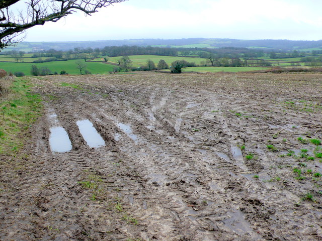
Woodrow is a small village located in the county of Dorset, in the southwest of England. Situated approximately 8 miles east of the county town, Dorchester, Woodrow is nestled amidst the picturesque countryside of the Dorset Downs.

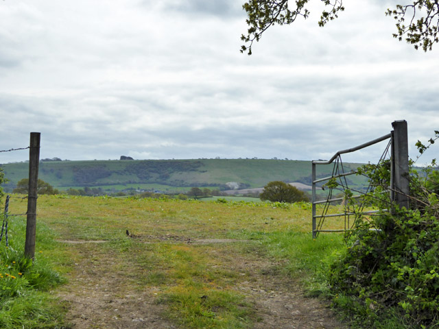
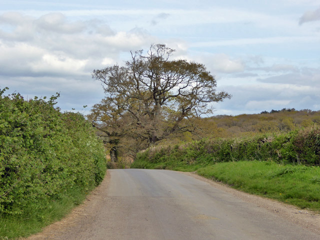
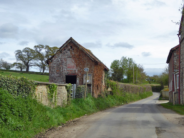
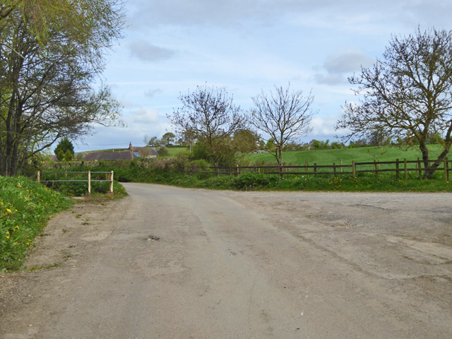
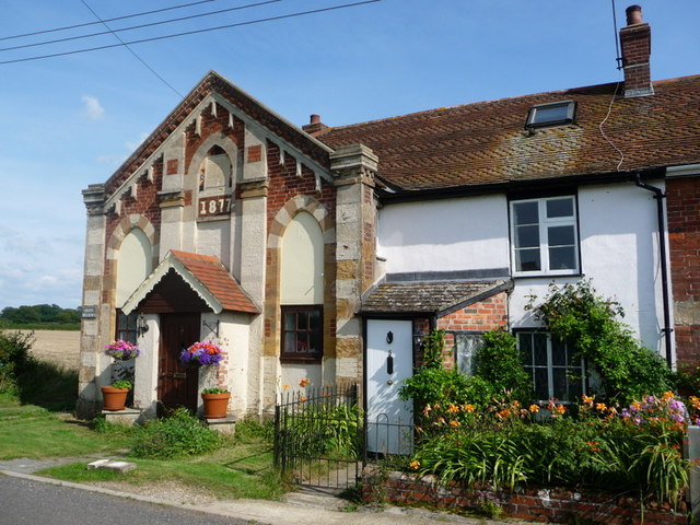
The village is known for its peaceful and idyllic setting, surrounded by rolling hills and lush green fields. It boasts a close-knit community, with a population of around 500 residents. The quaint and charming cottages that line the streets add to the village's rustic appeal.

Woodrow is rich in history, with evidence of human settlement dating back to the Iron Age. The nearby Maiden Castle, one of the largest and most complex Iron Age hillforts in Europe, is a popular attraction for visitors interested in ancient history.

Despite its small size, Woodrow offers a range of amenities to its residents and visitors. The village has a local pub, The Woodrow Arms, serving traditional British food and ales. There is also a primary school, a village hall, and a post office, ensuring that the basic needs of the community are met.

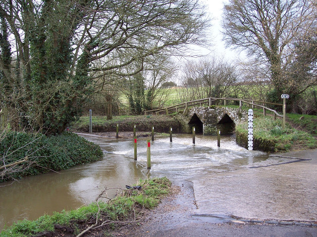
Nature enthusiasts are drawn to Woodrow due to its proximity to the Dorset Area of Outstanding Natural Beauty. The village serves as an excellent base for exploring the stunning landscapes, walking trails, and wildlife that the area has to offer.

Overall, Woodrow is a charming and peaceful village that provides a tranquil escape from the hustle and bustle of city life. Its natural beauty, rich history, and strong sense of community make it an appealing destination for both residents and visitors alike.

If you have any feedback on the listing, please let us know in the comments section below.
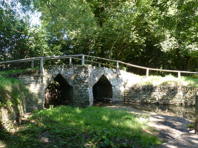
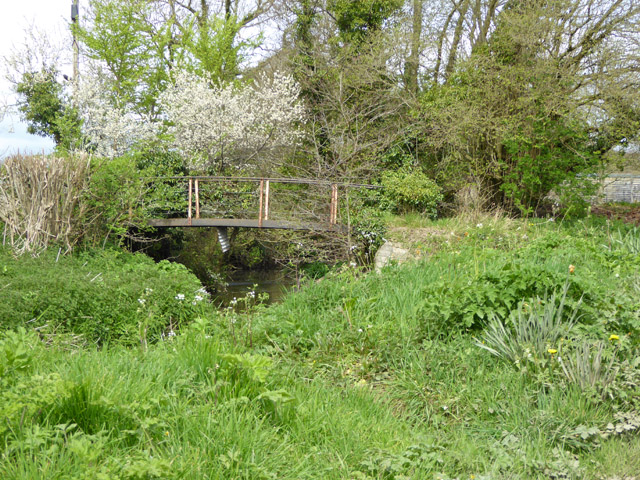
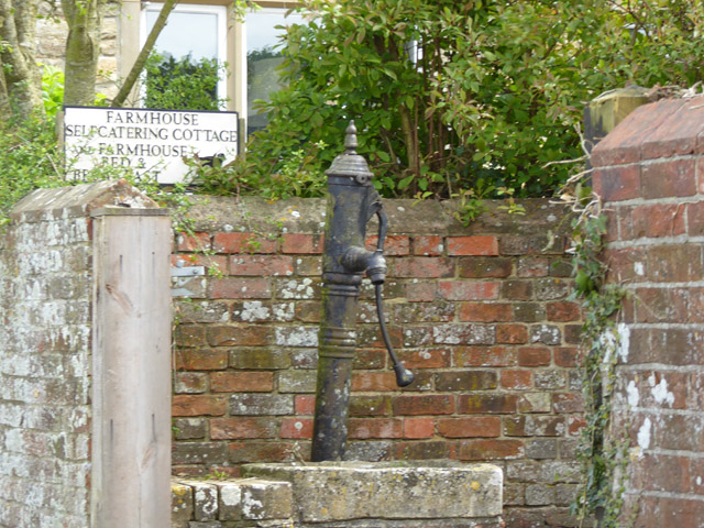
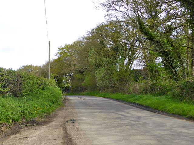
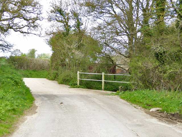
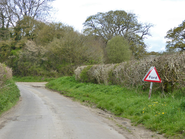
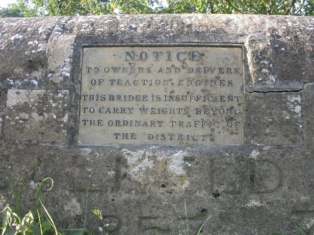
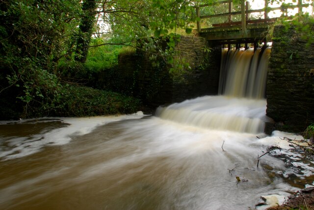
Woodrow Images

Images are sourced within 2km of 50.896103/-2.3429691 or Grid Reference ST7510. Thanks to Geograph Open Source API. All images are credited.

Bridge over River Divelish, Fifehead Newton
Footbridge over River Divelish Across the road from Lower Fifehead Farm.
Footbridge over River Divelish
Across the road from Lower Fifehead Farm.
Old pump, Lower Fifehead Farm
Road towards Fifehead Common
Gateway view Looking south-east.
Gateway view
Looking south-east.
Crate Hill Heading north.
Crate Hill
Heading north.
Small disused building, Lower Fifehead Farm Purpose unknown. A notice board outside looks like a parish outpost board for official notices, but that looks disused as well.
Small disused building, Lower Fifehead Farm
Purpose unknown. A notice board outside looks like a parish outpost board for official notices, but that looks disused as well.
Crossing of River Divelish, Fifehead St Quintin The river passes under the road via a long diagonal culvert. It looks like it may flow over the road in really wet times, but no ford is mapped here, and there is no footbridge. Older maps do show a ford and footbridge.
Crossing of River Divelish, Fifehead St Quintin
The river passes under the road via a long diagonal culvert. It looks like it may flow over the road in really wet times, but no ford is mapped here, and there is no footbridge. Older maps do show a ford and footbridge.
'Ford' south of Fifehead St. Quintin No longer mapped as such, although an overgrown footbridge is off to the left and the road still has a 'Ford' sign. It probably does flood over in really wet times.
'Ford' south of Fifehead St. Quintin
No longer mapped as such, although an overgrown footbridge is off to the left and the road still has a 'Ford' sign. It probably does flood over in really wet times.
Ford ahead on lane to Fifehead St Quintin It turned out to be a disappointment - the stream went under the road and looked as if it had gone that way for a considerable time.
Ford ahead on lane to Fifehead St Quintin
It turned out to be a disappointment - the stream went under the road and looked as if it had gone that way for a considerable time.
Old Bridge Marker on Salkeld Bridge, Lydlinch parish Bridge Weight Plate by the UC road, in parish of Lydlinch (West Dorset District), Salkeld Bridge, mid-bridge.

Inscription reads:-
NOTICE
TO OWNERS AND DRIVERS
OF TRACTION ENGINES
THIS BRIDGE IS INSUFFICIENT
TO CARRY WEIGHTS BEYOND
THE ORDINARY TRAFFIC OF
THE DISTRICT 

Surveyed

Milestone Society National ID: DO_WEISALbr
Old Bridge Marker on Salkeld Bridge, Lydlinch parish
Bridge Weight Plate by the UC road, in parish of Lydlinch (West Dorset District), Salkeld Bridge, mid-bridge. Inscription reads:- NOTICE TO OWNERS AND DRIVERS OF TRACTION ENGINES THIS BRIDGE IS INSUFFICIENT TO CARRY WEIGHTS BEYOND THE ORDINARY TRAFFIC OF THE DISTRICT Surveyed Milestone Society National ID: DO_WEISALbr
Sluice gates for mill pond Mill no longer in use
Sluice gates for mill pond
Mill no longer in use
Waterlogged Field near Hazelbury Bryan the recent prolonged lane has resulted in waterlogged fields even like this one which is at an elvated position of 94m above m.s.l. just below the 96m spot height on Zoar Lane.
Waterlogged Field near Hazelbury Bryan
the recent prolonged lane has resulted in waterlogged fields even like this one which is at an elvated position of 94m above m.s.l. just below the 96m spot height on Zoar Lane.
Fifehead St Quintin, ford and bridge Across a brook that feeds into River Divelish; currently dry.
Fifehead St Quintin, ford and bridge
Across a brook that feeds into River Divelish; currently dry.
Fifehead St Quintin, River Divelish Looking downstream at a river that joins the Stour near Sturminster Newton.
Fifehead St Quintin, River Divelish
Looking downstream at a river that joins the Stour near Sturminster Newton.
Fifehead St Quintin, farm entrance To Lower Fifehead Farm Dairy; a sign on the other side advertises that the farm works with Arla Foods. <span class="nowrap"><a title="http://www.arla.com/About-us/Company-structure/Co-operative-democracy/" rel="nofollow ugc noopener" href="http://www.arla.com/About-us/Company-structure/Co-operative-democracy/">Link</a><img style="margin-left:2px;" alt="External link" title="External link - shift click to open in new window" src="https://s1.geograph.org.uk/img/external.png" width="10" height="10"/></span>
Fifehead St Quintin, farm entrance
To Lower Fifehead Farm Dairy; a sign on the other side advertises that the farm works with Arla Foods. LinkExternal link
Fifehead St Quintin Ford This ford on the River Divelish is found at Fifehead St Quintin.
Fifehead St Quintin Ford
This ford on the River Divelish is found at Fifehead St Quintin.
Ford, Fifehead Neville Ford through the River Divelish with the Medieval packhorse bridge to the right.
Ford, Fifehead Neville
Ford through the River Divelish with the Medieval packhorse bridge to the right.
Show me another place!

Woodrow is located at Grid Ref: ST7510 (Lat: 50.896103, Lng: -2.3429691)

Unitary Authority: Dorset

Police Authority: Dorset

What 3 Words

///silver.optimists.dizzy. Near Sturminster Newton, Dorset

Related Wikis

Fifehead Neville

Fifehead Neville is a village and civil parish in the county of Dorset in southern England, situated in the Blackmore Vale about two miles (three kilometres...

Hazelbury Bryan

Hazelbury Bryan is a village and civil parish in the county of Dorset in southern England. It is situated in the Blackmore Vale, approximately five miles...

Bagber

Bagber is a hamlet in the county of Dorset in southern England, situated about 2 miles (3.2 km) west and northwest of Sturminster Newton in the Dorset...

Lydlinch

Lydlinch is a village and civil parish in the Blackmore Vale in north Dorset, England, about three miles (five kilometres) west of Sturminster Newton....

Banbury Hill

Banbury Hillfort, or Banbury Hill Camp, is an Iron Age hillfort, about 1.25 miles (2.0 km) south of Sturminster Newton and 1 mile (1.6 km) north-west of...

Belchalwell

Belchalwell is a small village and former civil parish, now in the parish of Okeford Fitzpaine in the Blackmore Vale, in the Dorset district, in the ceremonial...

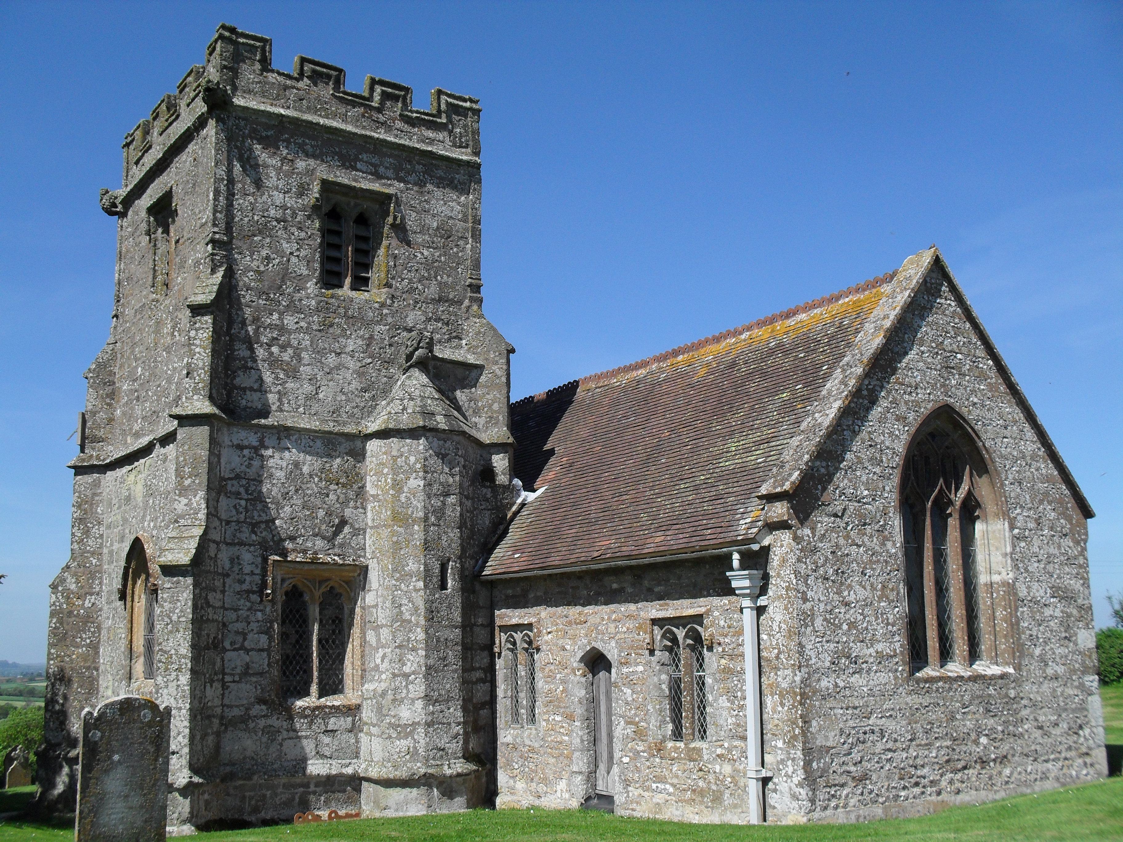
St Aldhelm's Church, Belchalwell

St Aldhelm's Church is a Grade II* listed Anglican church in the village of Belchalwell, Dorset. It is in the ecclesiastical parish of Belchalwell, which...

King's Stag Memorial Chapel

King's Stag Memorial Chapel is a Church of England chapel in King's Stag, Dorset, England. == History == The memorial chapel at King's Stag was built in...

Nearby Amenities

Located within 500m of 50.896103,-2.3429691
Post Box
Brand: Royal Mail
Brand Wikidata: Q638098
Brand Wikipedia: en:Royal Mail
Collection Plate: CP7
Collection Times: Mo-Fr 15:15; Sa 10:30
Last Checked: 2021-12-09
Operator: Royal Mail
Operator Wikidata: Q638098
Post Box Mounting: telegraph_pole
Post Box Type: lamp
Ref: DT10 76
Ref GB Uprn: 10015335537
Royal Cypher: EIIR
Royal Cypher Wikidata: Q33102113
Source: survey
Lat/Long: 50.894566/-2.3443752
Woodrow
Place: hamlet
Lat/Long: 50.8944391/-2.3446878
Power: pole
Source: bing
Lat/Long: 50.8921519/-2.3395729
Power: pole
Source: bing
Lat/Long: 50.8927195/-2.3383766
Power: pole
Source: bing
Transformer: distribution
Lat/Long: 50.8956649/-2.336188
The data included in this document is from www.openstreetmap.org. The data is made available under ODbL.

Have you been to Woodrow?

Leave your review of Woodrow below (or comments, questions and feedback).