Brakethorne Copse
Wood, Forest in Dorset
England
Brakethorne Copse
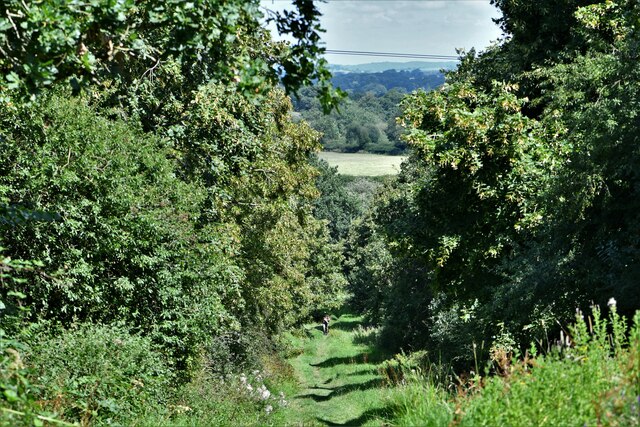
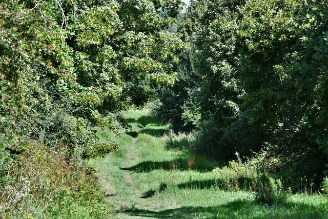
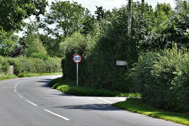
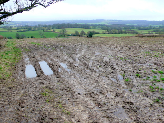
Brakethorne Copse is a picturesque woodland located in the county of Dorset, England. Spread over an area of approximately 50 acres, this enchanting forest is a beloved destination for nature enthusiasts and outdoor lovers alike. The copse is situated on the outskirts of the charming village of Brakethorne, surrounded by rolling hills and scattered with ancient oak and beech trees.
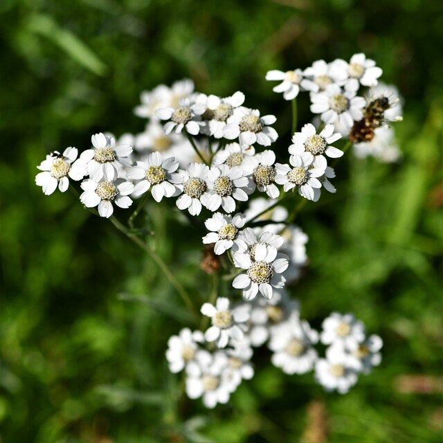
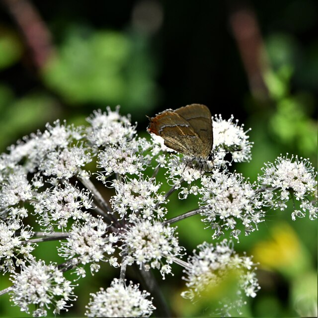
The woodland boasts a diverse ecosystem, with an abundance of flora and fauna. Moss-covered paths wind through the dense undergrowth, leading visitors to discover hidden clearings and tranquil streams. The forest floor is carpeted with bluebells and wood anemones in the spring, creating a stunning display of vibrant colors.
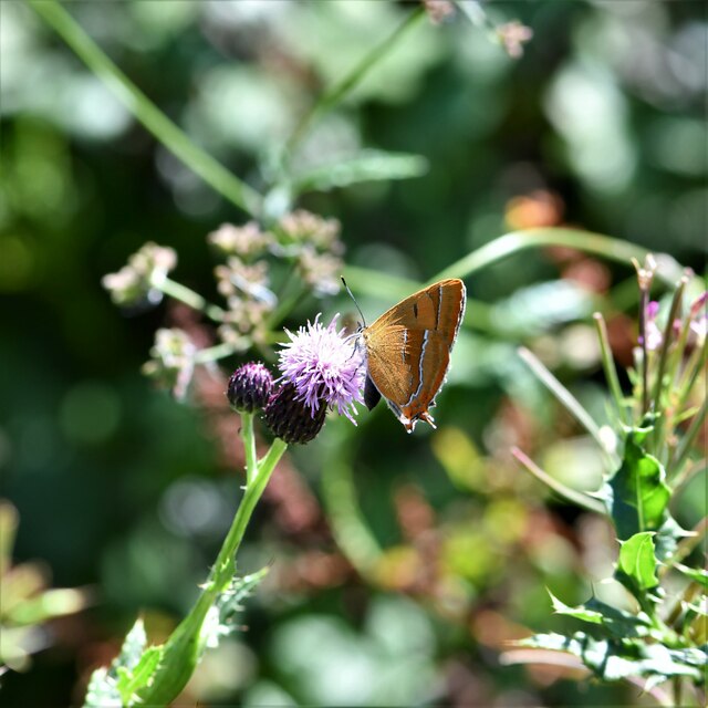
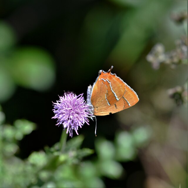
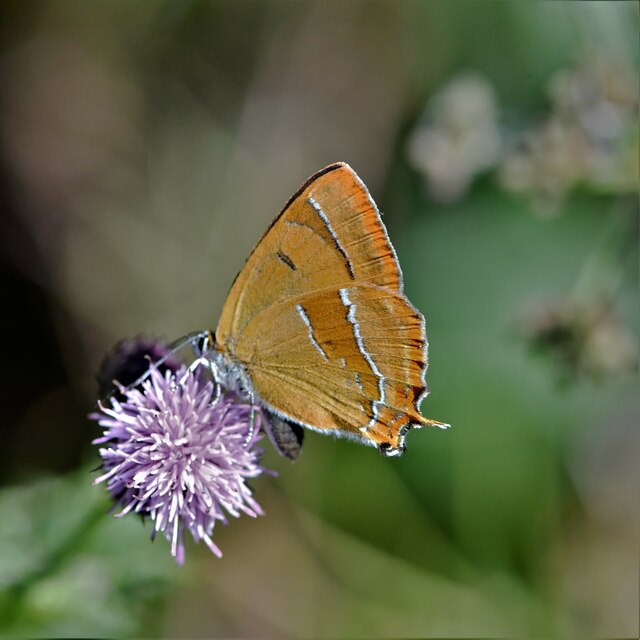
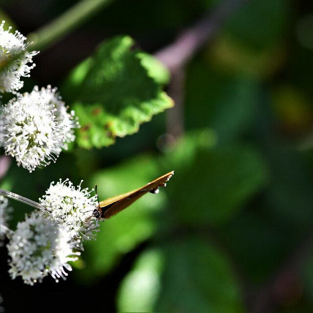
Brakethorne Copse is also renowned for its wildlife, providing a sanctuary for various species. Birdwatchers can spot woodpeckers, nuthatches, and treecreepers among the branches, while lucky visitors might catch a glimpse of elusive deer or foxes roaming through the trees.
The copse offers a range of recreational activities for visitors to enjoy. There are well-maintained walking trails, perfect for leisurely strolls or more adventurous hikes. Nature lovers can indulge in birdwatching, photography, or simply finding a peaceful spot to relax and immerse themselves in the tranquil surroundings.
Brakethorne Copse is a true haven of natural beauty, with its ancient woodland and diverse ecosystem. It provides a welcome escape from the hustle and bustle of daily life, inviting visitors to explore its enchanting trails and discover the wonders of Dorset's countryside.
If you have any feedback on the listing, please let us know in the comments section below.
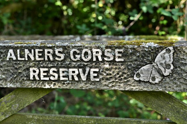
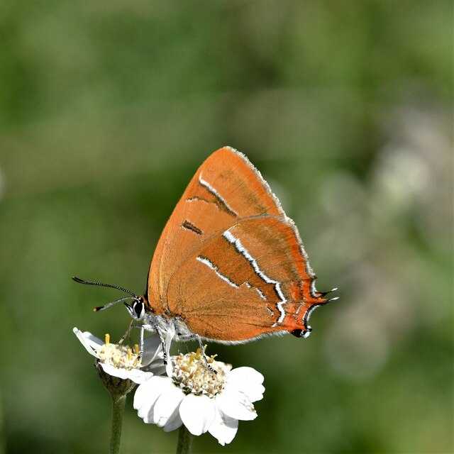
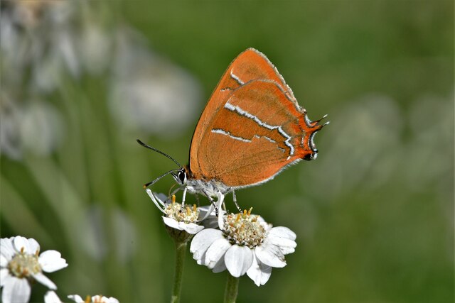
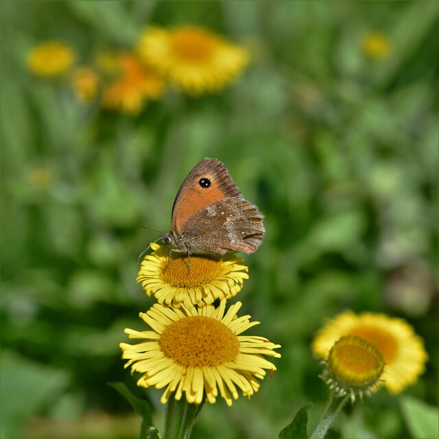
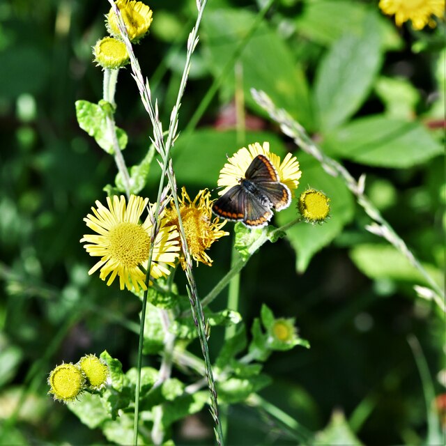
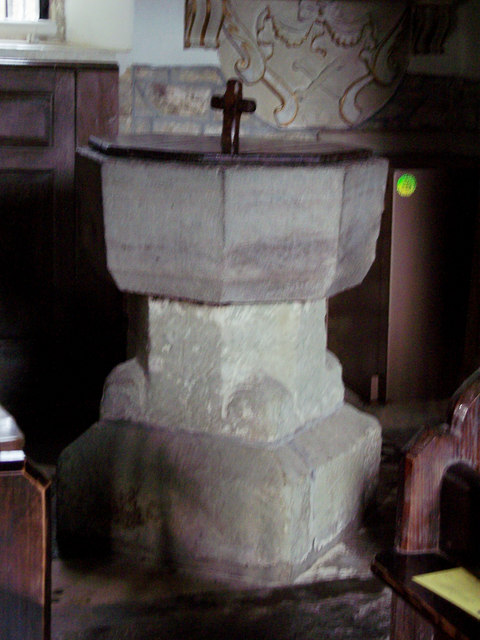
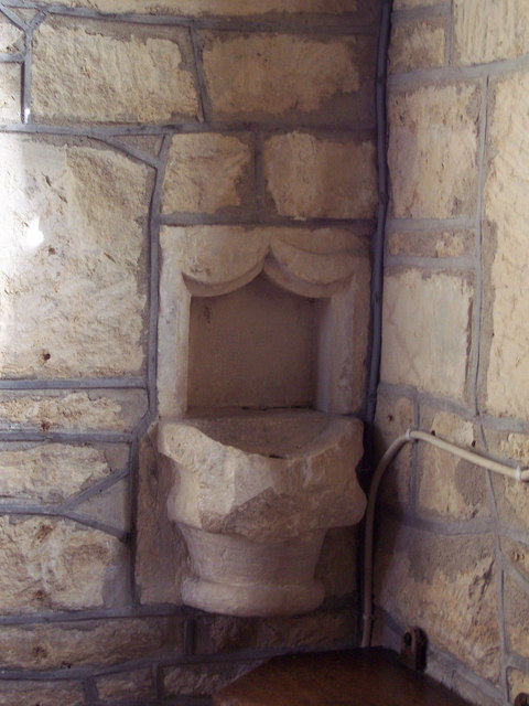
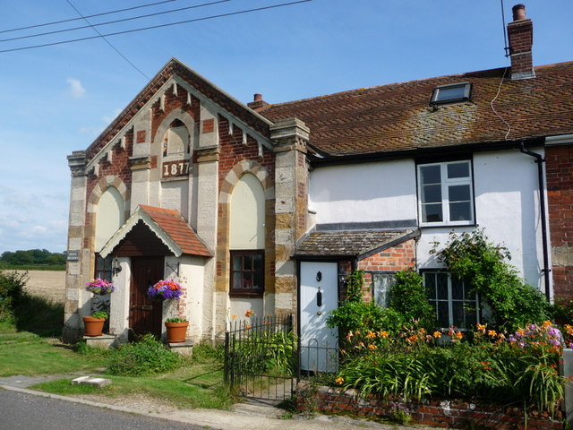
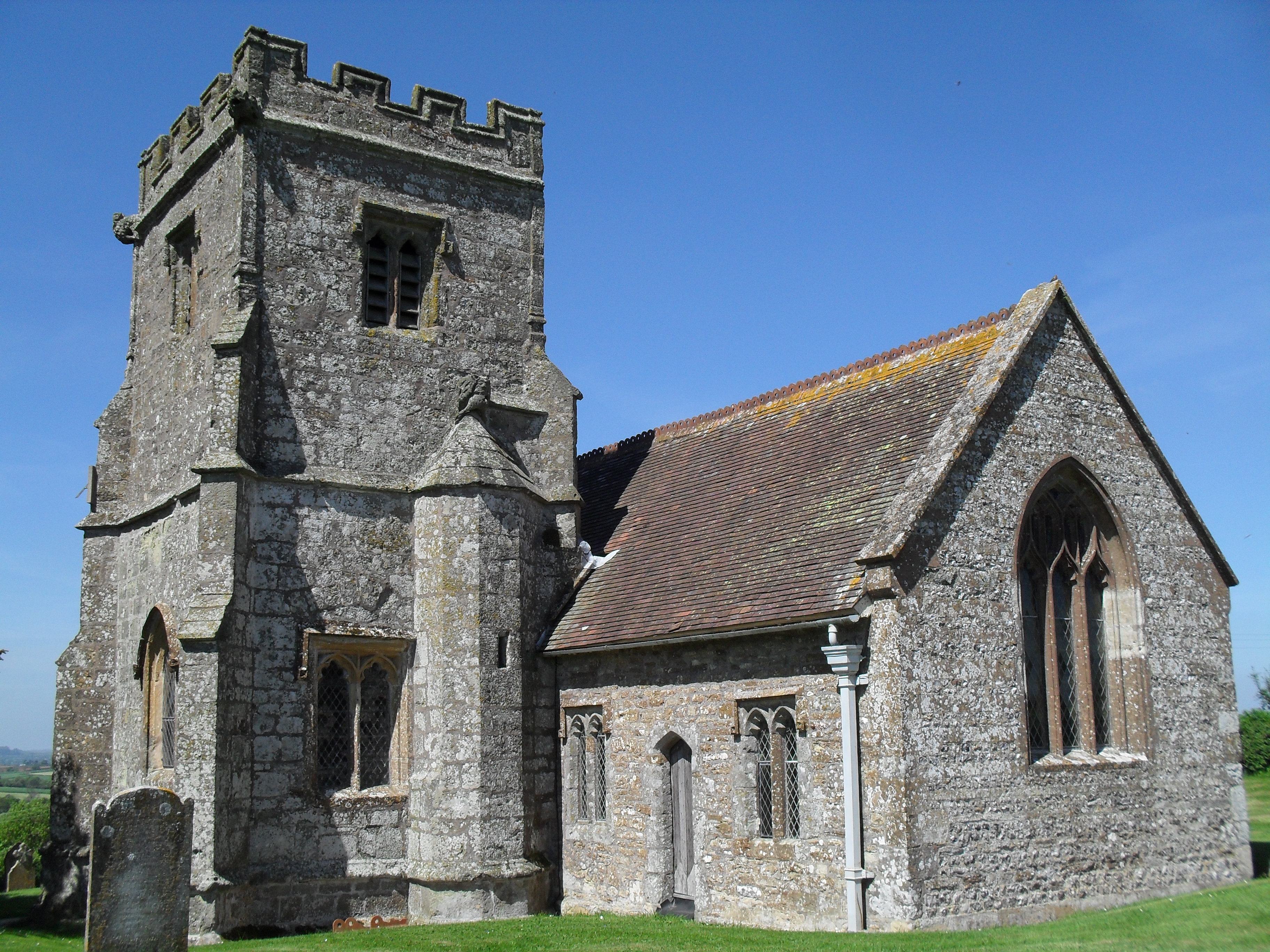
Brakethorne Copse Images
Images are sourced within 2km of 50.894855/-2.3543064 or Grid Reference ST7510. Thanks to Geograph Open Source API. All images are credited.
Brakethorne Copse is located at Grid Ref: ST7510 (Lat: 50.894855, Lng: -2.3543064)
Unitary Authority: Dorset
Police Authority: Dorset
What 3 Words
///driveways.lawn.grading. Near Sturminster Newton, Dorset
Nearby Locations
Related Wikis

Fifehead Neville
Fifehead Neville is a village and civil parish in the county of Dorset in southern England, situated in the Blackmore Vale about two miles (three kilometres...

Hazelbury Bryan
Hazelbury Bryan is a village and civil parish in the county of Dorset in southern England. It is situated in the Blackmore Vale, approximately five miles...

King's Stag Memorial Chapel
King's Stag Memorial Chapel is a Church of England chapel in King's Stag, Dorset, England. == History == The memorial chapel at King's Stag was built in...

Lydlinch
Lydlinch is a village and civil parish in the Blackmore Vale in north Dorset, England, about three miles (five kilometres) west of Sturminster Newton....
Bagber
Bagber is a hamlet in the county of Dorset in southern England, situated about 2 miles (3.2 km) west and northwest of Sturminster Newton in the North Dorset...

Caundle Brook
Caundle Brook is a 13.4 miles (21.6 km) tributary of the River Lydden that flows through Blackmore Vale in Dorset, England.Its headwaters rise at the foot...

Banbury Hill
Banbury Hillfort, or Banbury Hill Camp, is an Iron Age hillfort, about 1.25 miles (2.0 km) south of Sturminster Newton and 1 mile (1.6 km) north-west of...
Belchalwell
Belchalwell is a small village and former civil parish, now in the parish of Okeford Fitzpaine in the Blackmore Vale, in the Dorset district, in the ceremonial...
Have you been to Brakethorne Copse?
Leave your review of Brakethorne Copse below (or comments, questions and feedback).