Hurst Coppice
Wood, Forest in Staffordshire Wyre Forest
England
Hurst Coppice
Hurst Coppice is a dense woodland located in the county of Staffordshire, England. Spanning over a vast area, it is considered one of the most significant woodlands in the region. The coppice is situated near the village of Hurst Hill, which is renowned for its natural beauty and picturesque surroundings.
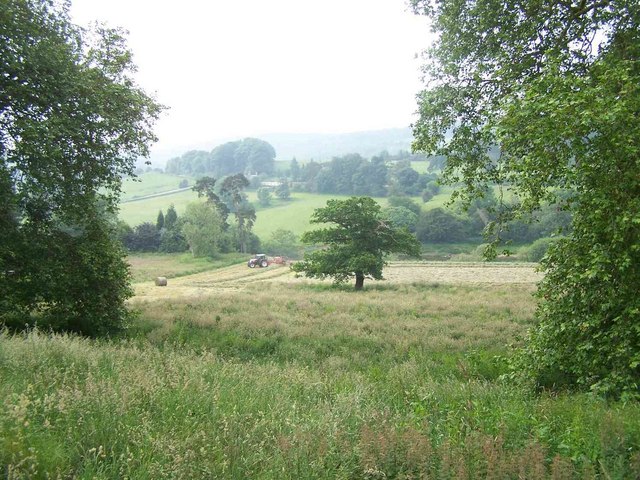
The forest is predominantly composed of various species of deciduous trees, including oak, ash, birch, and beech. These trees form a dense canopy, creating a serene and peaceful atmosphere within the woodland. The forest floor is covered in a thick layer of leaf litter, providing a habitat for a diverse range of flora and fauna.
Hurst Coppice is known for its rich biodiversity, harboring numerous species of birds, mammals, and insects. It serves as a vital habitat for several endangered species, including the lesser spotted woodpecker and the rare barbastelle bat. The woodland is also home to a variety of woodland plants, such as bluebells, wood anemones, and wild garlic, which create a vibrant and colorful display during the spring season.
The coppice has a long history, with evidence of human habitation dating back to ancient times. It has been an important source of timber and firewood for the local community throughout the centuries. Today, the woodland is managed by the local authorities to preserve its natural beauty and ecological value.
Hurst Coppice is a popular destination for nature enthusiasts and hikers, who can explore its numerous trails and enjoy the tranquility of the forest. It offers a unique opportunity to experience the beauty of Staffordshire's natural landscape and provides a haven for wildlife in the area.
If you have any feedback on the listing, please let us know in the comments section below.
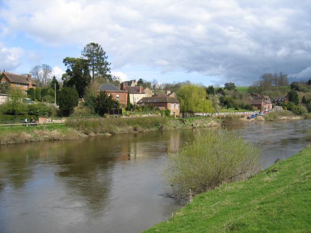
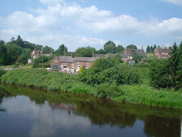
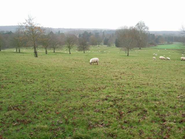
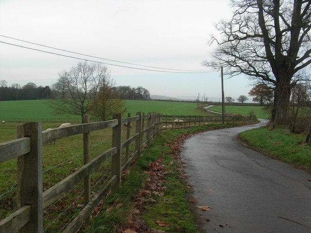
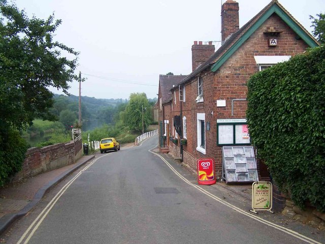
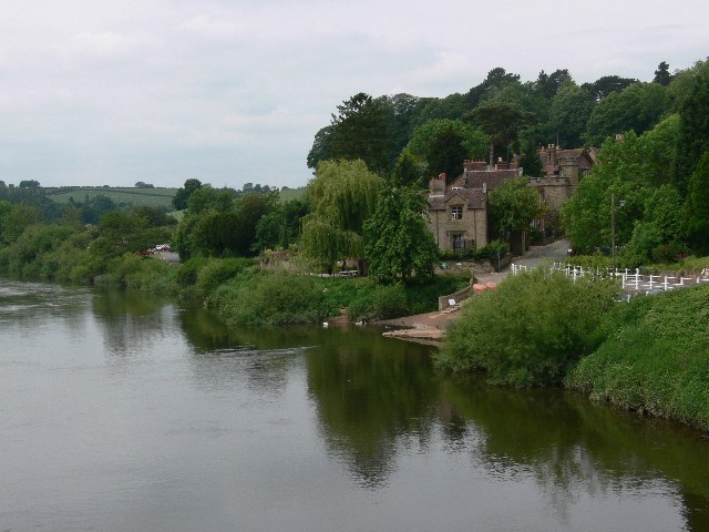
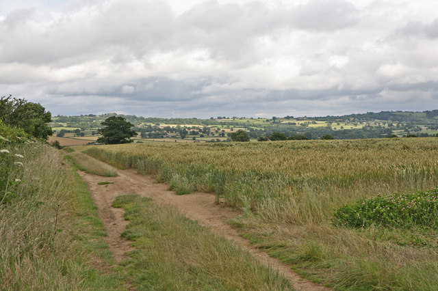
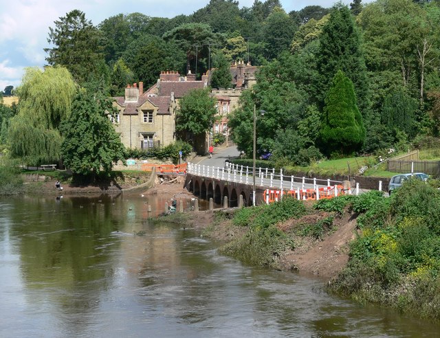
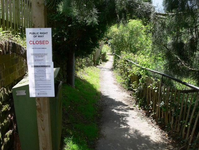
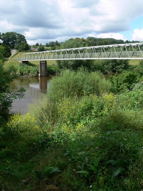
Hurst Coppice Images
Images are sourced within 2km of 52.413216/-2.364283 or Grid Reference SO7579. Thanks to Geograph Open Source API. All images are credited.


Hurst Coppice is located at Grid Ref: SO7579 (Lat: 52.413216, Lng: -2.364283)
Administrative County: Worcestershire
District: Wyre Forest
Police Authority: West Mercia
What 3 Words
///bookings.pound.neater. Near Highley, Shropshire
Nearby Locations
Related Wikis

Pound Green
Pound Green is a hamlet in Upper Arley, Worcestershire, England. It has a number of tourist landmarks such as Ye Olde New Inn and a village hall that also...

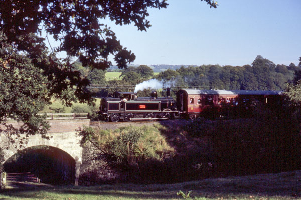
Arley railway station
Arley railway station is a station on the Severn Valley Railway heritage line in Worcestershire, situated just over the River Severn from the village of...

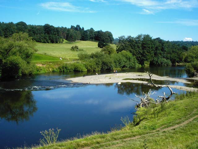
Victoria Bridge, Worcestershire
The Victoria Bridge crosses the River Severn between Arley and Bewdley in Worcestershire, England. At the time of its construction, the 200-foot railway...

Upper Arley
Upper Arley (grid reference SO765805) is a village and civil parish near Kidderminster in the Wyre Forest District of Worcestershire, England. Historically...

Button Oak
Button Oak is a small village in the English county of Shropshire, England. It is 3 miles north west of Bewdley. Button Oak is very similar to nearby...

Arley House and Gardens
Arley House and Gardens are situated at Upper Arley, about 4 miles (6.4 km) north-west of Bewdley, in Worcestershire, England. The gardens, arboretum and...

Coppicegate
Coppicegate is a small settlement in Shropshire, England. It is beside the Wyre Forest and is 10 kilometres (6 mi) northwest of Kidderminster. == External... ==

Shatterford Hill
Shatterford Hill is an English geographical feature that extends from Bewdley in north Worcestershire to Birdsgreen near Alveley, just over the border...
Nearby Amenities
Located within 500m of 52.413216,-2.364283Have you been to Hurst Coppice?
Leave your review of Hurst Coppice below (or comments, questions and feedback).