Cattle Plantation Higher
Wood, Forest in Lancashire Hyndburn
England
Cattle Plantation Higher

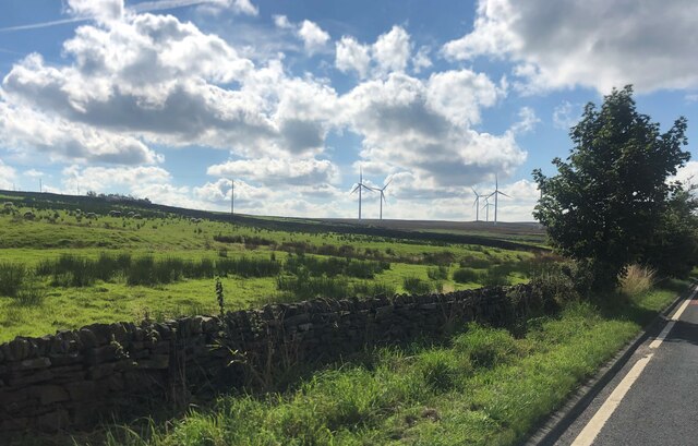
Cattle Plantation Higher is a picturesque woodland area located in Lancashire, England. Spanning over a vast expanse, this woodland encompasses a total area of several hectares, making it a significant natural landmark in the region. The plantation is primarily composed of dense forest, characterized by a diverse range of tree species, including oak, birch, and beech.
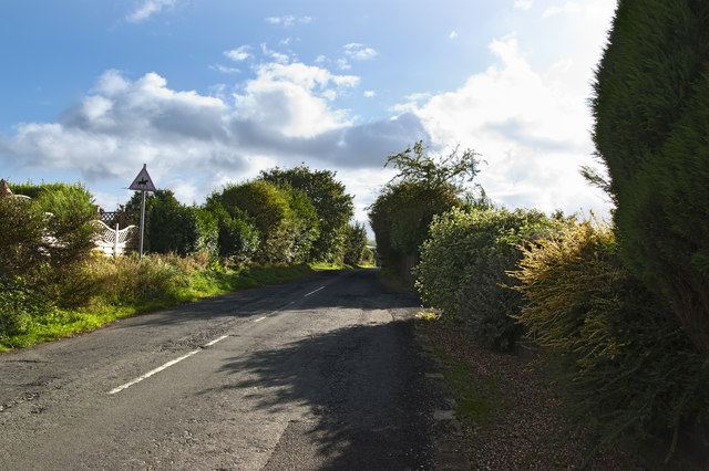
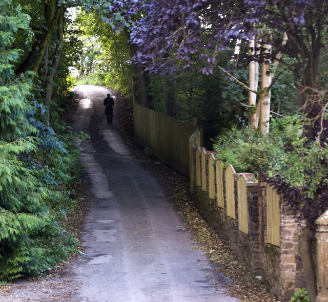
The woodland offers a tranquil and serene environment, attracting nature enthusiasts, hikers, and bird watchers from near and far. Visitors can explore numerous well-maintained trails that wind through the plantation, providing an opportunity to immerse oneself in the beauty of nature. The rich variety of flora and fauna found here adds to the allure of Cattle Plantation Higher.
The plantation is home to a variety of wildlife, including deer, squirrels, and a wide array of bird species. Nature lovers can catch glimpses of these animals in their natural habitats, making it an ideal spot for wildlife photography and observation.
Cattle Plantation Higher is managed by local authorities, ensuring the preservation and conservation of this natural treasure. The woodland serves as a vital ecosystem, providing a habitat for various species and contributing to the overall biodiversity of the area.
Visitors to Cattle Plantation Higher can enjoy the tranquility and beauty of nature, engage in outdoor activities, and appreciate the rich natural heritage that Lancashire has to offer. Whether it's a leisurely walk, bird watching, or simply enjoying the peacefulness of the surroundings, Cattle Plantation Higher has something to offer for everyone seeking solace in nature.
If you have any feedback on the listing, please let us know in the comments section below.
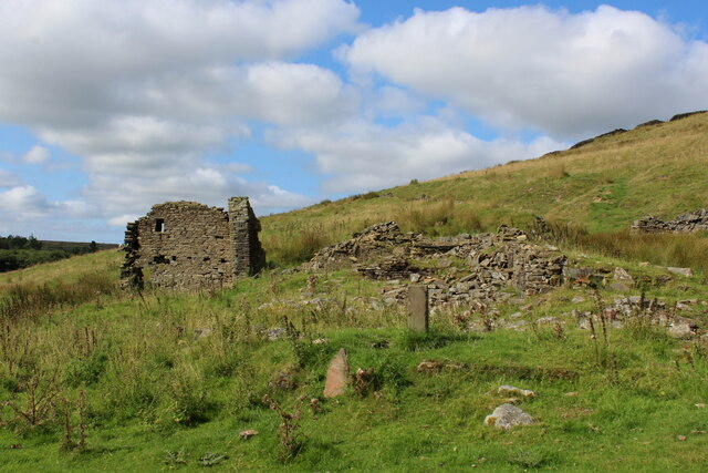
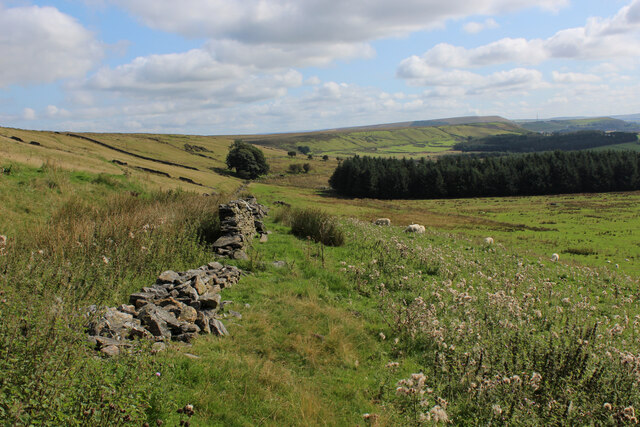
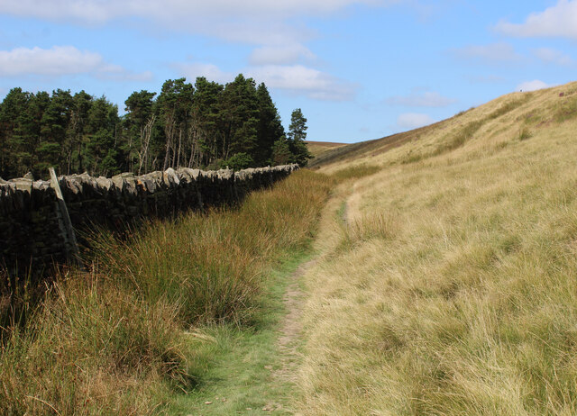
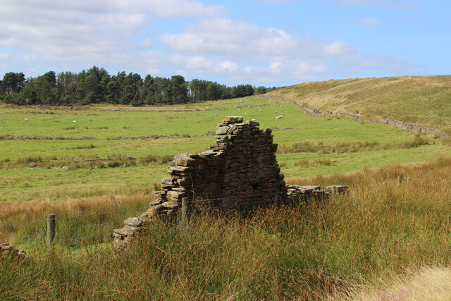
Cattle Plantation Higher Images
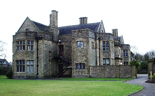
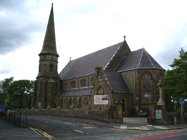
Images are sourced within 2km of 53.721906/-2.3755037 or Grid Reference SD7525. Thanks to Geograph Open Source API. All images are credited.


Cattle Plantation Higher is located at Grid Ref: SD7525 (Lat: 53.721906, Lng: -2.3755037)
Administrative County: Lancashire
District: Hyndburn
Police Authority: Lancashire
What 3 Words
///spearing.remarks.armrests. Near Church, Lancashire
Related Wikis

The Hollins
The Hollins (formerly known as The Hollins Technology College until 2017) is a coeducational secondary school located in Accrington in the English county...
Baxenden railway station
Baxenden railway station served the villages of Baxenden in Hyndburn and Rising Bridge in Rossendale. It was situated just inside the old boundary of Haslingden...

Haslingden Grane
Haslingden Grane is the glaciated upper portion of the valley of the River Ogden, which lies west of Haslingden and is in the north east section of the...
Haworth Art Gallery
The Haworth Art Gallery is a public art gallery located in Accrington, Lancashire, northwest England, and is the home of the largest collection in Europe...

Immanuel Church, Oswaldtwistle
Immanuel Church is an Anglican church in Oswaldtwistle, Lancashire, England. It is an active parish church in the Diocese of Blackburn and the archdeaconry...

Mount Carmel Roman Catholic High School
Mount Carmel Roman Catholic High School is a coeducational Roman Catholic secondary school located in Accrington, a town located in the county of Lancashire...

Oswaldtwistle
Oswaldtwistle ( "ozzel twizzel") is a town in the Hyndburn borough of Lancashire, England, 3 miles (5 km) southeast of Blackburn, contiguous with Accrington...
Baxenden
Baxenden is a village and ward in the Borough of Hyndburn in Lancashire, North-West England. The ward population taken at the 2011 census was 4,042. Baxenden...
Nearby Amenities
Located within 500m of 53.721906,-2.3755037Have you been to Cattle Plantation Higher?
Leave your review of Cattle Plantation Higher below (or comments, questions and feedback).