Height Plantation
Wood, Forest in Lancashire Hyndburn
England
Height Plantation
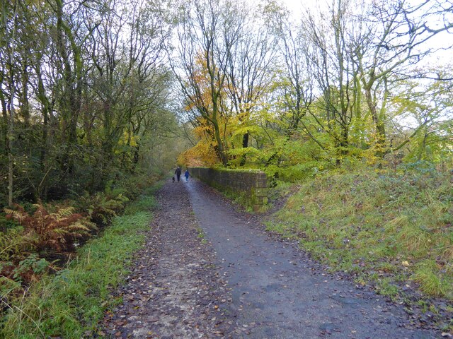
Height Plantation is a picturesque woodland located in Lancashire, England. The plantation is nestled in the heart of the county, surrounded by rolling hills and lush greenery. With its dense tree cover and tranquil atmosphere, it serves as a popular destination for nature enthusiasts and those seeking a peaceful retreat.
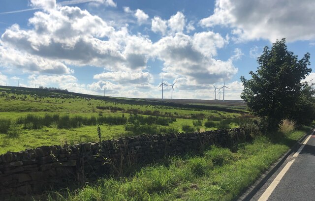
Covering an extensive area of land, Height Plantation boasts a diverse range of tree species, including oak, beech, and pine. This rich variety of flora creates a vibrant and ever-changing landscape throughout the seasons. In spring, the plantation bursts into life with vibrant blossoms and fresh foliage, while autumn paints the woodland with a stunning array of warm hues.
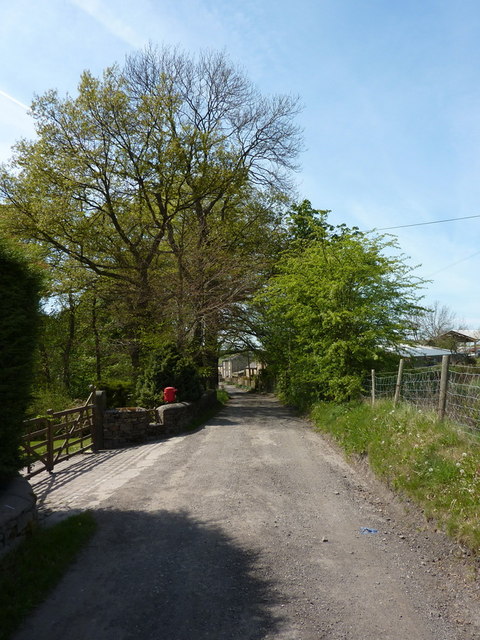
The plantation offers a network of well-maintained walking trails, allowing visitors to explore its beauty at their own pace. These paths meander through the woodland, providing scenic views of the surrounding countryside and opportunities for wildlife spotting. It is not uncommon to encounter deer, squirrels, and a variety of bird species during a visit to Height Plantation.
For those interested in history, the plantation holds cultural significance as well. It is believed to have been part of a medieval hunting ground, and remnants of old stone walls and earthworks can still be seen throughout the area.
Height Plantation offers a peaceful and picturesque escape from the hustle and bustle of everyday life. Whether visitors are seeking a gentle stroll, a picnic spot, or a chance to immerse themselves in nature, this Lancashire woodland provides an idyllic setting for all.
If you have any feedback on the listing, please let us know in the comments section below.
Height Plantation Images
Images are sourced within 2km of 53.721782/-2.3722292 or Grid Reference SD7525. Thanks to Geograph Open Source API. All images are credited.


Height Plantation is located at Grid Ref: SD7525 (Lat: 53.721782, Lng: -2.3722292)
Administrative County: Lancashire
District: Hyndburn
Police Authority: Lancashire
What 3 Words
///roadways.riddle.funds. Near Church, Lancashire
Related Wikis

The Hollins
The Hollins (formerly known as The Hollins Technology College until 2017) is a coeducational secondary school located in Accrington in the English county...
Baxenden railway station
Baxenden railway station served the villages of Baxenden in Hyndburn and Rising Bridge in Rossendale. It was situated just inside the old boundary of Haslingden...
Haslingden Grane
Haslingden Grane is the glaciated upper portion of the valley of the River Ogden, which lies west of Haslingden and is in the north east section of the...
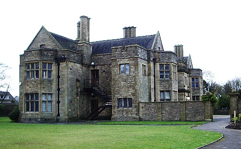
Haworth Art Gallery
The Haworth Art Gallery is a public art gallery located in Accrington, Lancashire, northwest England, and is the home of the largest collection in Europe...
Nearby Amenities
Located within 500m of 53.721782,-2.3722292Have you been to Height Plantation?
Leave your review of Height Plantation below (or comments, questions and feedback).