Sure Clough

Valley in Lancashire Hyndburn

England

Sure Clough

Rossendale Way descending into Deep Clough After a long level stretch the Rossendale Way descends into the clough, to immediately climb up the other side.
Rossendale Way descending into Deep Clough Credit: Chris Heaton

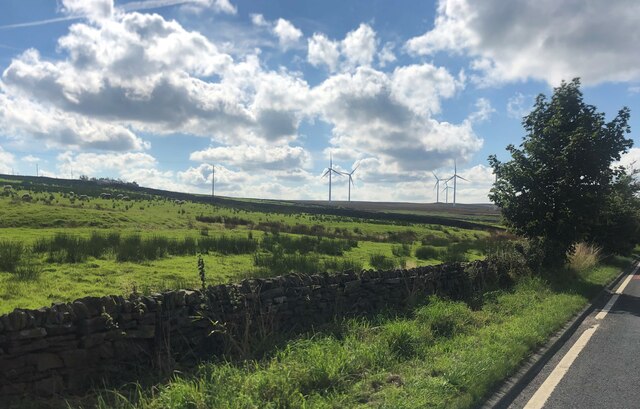
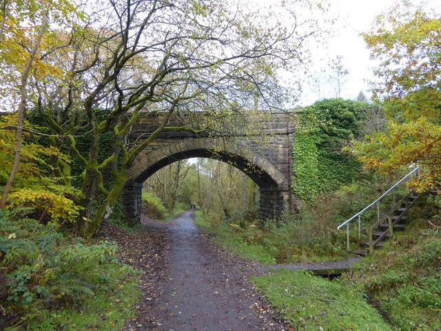
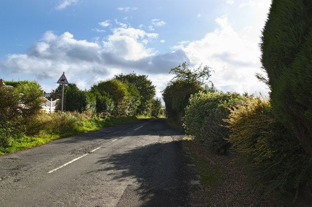
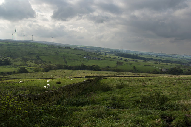
Sure Clough is a picturesque valley located in the Lancashire region of England. Nestled within the Rossendale Valley, it is renowned for its stunning natural beauty and tranquil surroundings. The valley is situated between the towns of Rawtenstall and Bacup, and is surrounded by rolling hills and dense woodlands.

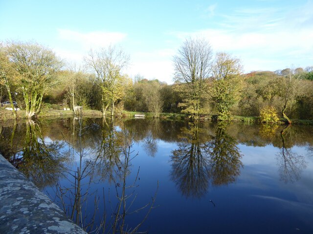
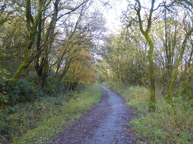
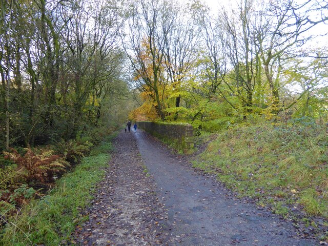
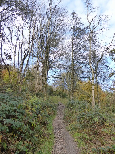
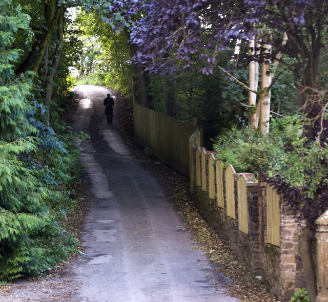
Sure Clough is home to a diverse range of plant and animal species, making it an ideal destination for nature enthusiasts and wildlife lovers. The valley boasts a network of walking trails and footpaths, allowing visitors to explore and appreciate its scenic landscapes. The meandering River Irwell flows through the heart of Sure Clough, adding to its charm and providing a peaceful retreat for visitors.

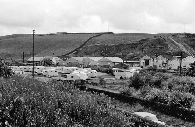
Historically, Sure Clough played an important role in the textile industry during the 19th century, with numerous cotton mills and factories operating in the area. Today, remnants of this industrial past can still be seen in the form of old mill buildings and structures.

Sure Clough offers a range of recreational activities, including fishing, birdwatching, and hiking. The area is also popular with photographers, who are drawn to its idyllic landscapes and panoramic views. Additionally, the valley hosts various events and festivals throughout the year, showcasing local talent and celebrating the area's rich cultural heritage.

Overall, Sure Clough is a hidden gem in Lancashire, offering a peaceful retreat and a chance to reconnect with nature in a stunning rural setting.

If you have any feedback on the listing, please let us know in the comments section below.

Sure Clough Images

Images are sourced within 2km of 53.723828/-2.3672461 or Grid Reference SD7525. Thanks to Geograph Open Source API. All images are credited.

Rossendale Way descending into Deep Clough After a long level stretch the Rossendale Way descends into the clough, to immediately climb up the other side.
Rossendale Way descending into Deep Clough
After a long level stretch the Rossendale Way descends into the clough, to immediately climb up the other side.
Deep Clough Short watercourse smothered in vegetation, draining off Haslingden Moor into Jamestone Quarry and onto Ogden Reservoir
Deep Clough
Short watercourse smothered in vegetation, draining off Haslingden Moor into Jamestone Quarry and onto Ogden Reservoir
Windmills on Oswaltwistle Moor
Former mill pond Now used by anglers at Sweet Clough
Former mill pond
Now used by anglers at Sweet Clough
Cycle path following route of former railway On the former route to Accrington from Bury having just passed Alliance Mill. The path is known as Hyndburn Greenway.
Cycle path following route of former railway
On the former route to Accrington from Bury having just passed Alliance Mill. The path is known as Hyndburn Greenway.
Cycle path following route of former railway On the Hyndburn Greenway with the walling on the right protecting traffic from falling down a steep drop into Woodnook Water
Cycle path following route of former railway
On the Hyndburn Greenway with the walling on the right protecting traffic from falling down a steep drop into Woodnook Water
Bridge over former railway A cycle route known as the Hyndburn Greenway now passes under the bridge which gives access to Priestley Clough
Bridge over former railway
A cycle route known as the Hyndburn Greenway now passes under the bridge which gives access to Priestley Clough
Path in Priestley Clough One of the paths climbing on the west bank of Woodnook Water away from the footbridge across the stream. These paths are not on OS maps but seem to link Bullough Park with Priestley Clough and Woodnook Vale Nature Reserve.
Path in Priestley Clough
One of the paths climbing on the west bank of Woodnook Water away from the footbridge across the stream. These paths are not on OS maps but seem to link Bullough Park with Priestley Clough and Woodnook Vale Nature Reserve.
Wind Turbine on Oswaldtwistle Moor
Houses by the junction at Green Haworth
Pot House Lane
Pot House Lane
Hoyle Bottom
Hoyle Bottom
Hyndburn Wind Farm The wind farm has 12 x 2.05 MW turbines which are 122 metres high to the tip of the blade. The total installed capacity is 24.6 MW. They generated enough electricity to power the equivalent of over 36,847 homes between October 2012 and October 2014.
Hyndburn Wind Farm
The wind farm has 12 x 2.05 MW turbines which are 122 metres high to the tip of the blade. The total installed capacity is 24.6 MW. They generated enough electricity to power the equivalent of over 36,847 homes between October 2012 and October 2014.
Looking down the hill near Rothwell Heights
A fellow Geographer?
Green Haworth C of E Primary School
Hyndburn Wind Farm The wind farm has 12 x 2.05 MW turbines which are 122 metres high to the tip of the blade. The total installed capacity is 24.6 MW. They generated enough electricity to power the equivalent of over 36,847 homes between October 2012 and October 2014.
Hyndburn Wind Farm
The wind farm has 12 x 2.05 MW turbines which are 122 metres high to the tip of the blade. The total installed capacity is 24.6 MW. They generated enough electricity to power the equivalent of over 36,847 homes between October 2012 and October 2014.
A drystone wall overgrown in places
Show me another place!

Sure Clough is located at Grid Ref: SD7525 (Lat: 53.723828, Lng: -2.3672461)

Administrative County: Lancashire

District: Hyndburn

Police Authority: Lancashire

What 3 Words

///stung.crispy.fled. Near Accrington, Lancashire

Related Wikis

The Hollins

The Hollins (formerly known as The Hollins Technology College until 2017) is a coeducational secondary school located in Accrington in the English county...

Baxenden railway station

Baxenden railway station served the villages of Baxenden in Hyndburn and Rising Bridge in Rossendale. It was situated just inside the old boundary of Haslingden...

Baxenden

Baxenden is a village and ward in the Borough of Hyndburn in Lancashire, North-West England. The ward population taken at the 2011 census was 4,042. Baxenden...

Haworth Art Gallery

The Haworth Art Gallery is a public art gallery located in Accrington, Lancashire, northwest England, and is the home of the largest collection in Europe...

Mount Carmel Roman Catholic High School

Mount Carmel Roman Catholic High School is a coeducational Roman Catholic secondary school located in Accrington, a town located in the county of Lancashire...

Haslingden Grane

Haslingden Grane is the glaciated upper portion of the valley of the River Ogden, which lies west of Haslingden and is in the north east section of the...

Oswaldtwistle

Oswaldtwistle ( "ozzel twizzel") is a town in the Hyndburn borough of Lancashire, England, 3 miles (5 km) southeast of Blackburn, contiguous with Accrington...

Accrington and Rossendale College

Accrington and Rossendale College is a further education college based in Accrington, Lancashire, England. == The College == Accrington & Rossendale College...

Have you been to Sure Clough?

Leave your review of Sure Clough below (or comments, questions and feedback).