Barnfield Plantation
Wood, Forest in Lancashire Hyndburn
England
Barnfield Plantation

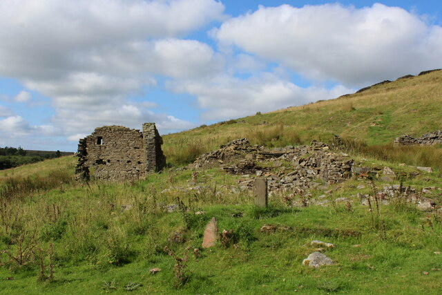
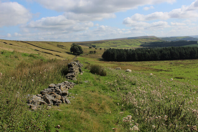
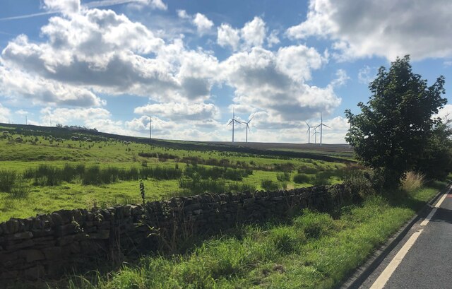
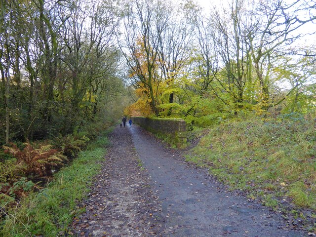
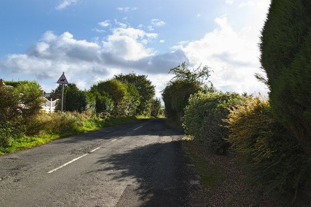
Barnfield Plantation is a picturesque woodland located in Lancashire, England. Spanning over an area of approximately 100 acres, it is a popular destination for nature enthusiasts, hikers, and those seeking tranquility amidst the beauty of nature.
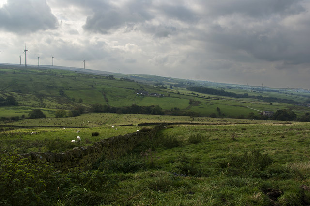
The plantation is primarily composed of a mix of deciduous and coniferous trees, creating a diverse and vibrant ecosystem. Ancient oak, beech, and birch trees can be found throughout the woodland, providing a habitat for various species of birds, insects, and mammals. The dense canopy formed by these trees creates a cool and shaded environment, perfect for a leisurely stroll on a sunny day.
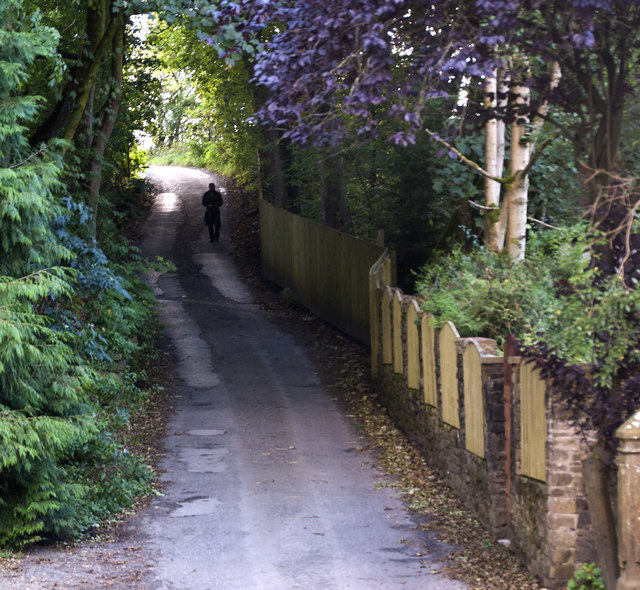
Several well-maintained trails wind through the plantation, allowing visitors to explore its enchanting beauty. Along these paths, one can discover a variety of wildflowers, ferns, and mushrooms, adding to the charm of the woodland. The plantation also features a small stream that meanders through the forest, providing a tranquil ambiance and attracting a multitude of wildlife.
Barnfield Plantation is not only a haven for nature lovers but also offers recreational opportunities. It has designated picnic areas where visitors can enjoy a packed lunch amidst the serene surroundings. Additionally, the woodland provides an ideal setting for birdwatching, photography, and nature study.
Managed by the local authorities, the plantation is open to the public year-round, with no admission fees. It is easily accessible by car and offers ample parking facilities. Whether one seeks a peaceful retreat or an outdoor adventure, Barnfield Plantation is a delightful destination that showcases the natural splendor of Lancashire.
If you have any feedback on the listing, please let us know in the comments section below.
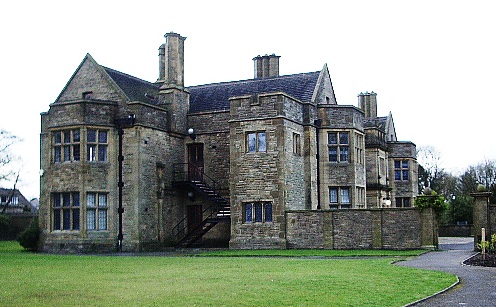
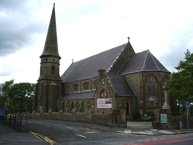
Barnfield Plantation Images
Images are sourced within 2km of 53.722902/-2.3732393 or Grid Reference SD7525. Thanks to Geograph Open Source API. All images are credited.


Barnfield Plantation is located at Grid Ref: SD7525 (Lat: 53.722902, Lng: -2.3732393)
Administrative County: Lancashire
District: Hyndburn
Police Authority: Lancashire
What 3 Words
///ally.diplomas.yell. Near Church, Lancashire
Related Wikis

The Hollins
The Hollins (formerly known as The Hollins Technology College until 2017) is a coeducational secondary school located in Accrington in the English county...
Baxenden railway station
Baxenden railway station served the villages of Baxenden in Hyndburn and Rising Bridge in Rossendale. It was situated just inside the old boundary of Haslingden...
Haworth Art Gallery
The Haworth Art Gallery is a public art gallery located in Accrington, Lancashire, northwest England, and is the home of the largest collection in Europe...
Baxenden
Baxenden is a village and ward in the Borough of Hyndburn in Lancashire, North-West England. The ward population taken at the 2011 census was 4,042. Baxenden...

Mount Carmel Roman Catholic High School
Mount Carmel Roman Catholic High School is a coeducational Roman Catholic secondary school located in Accrington, a town located in the county of Lancashire...

Haslingden Grane
Haslingden Grane is the glaciated upper portion of the valley of the River Ogden, which lies west of Haslingden and is in the north east section of the...

Oswaldtwistle
Oswaldtwistle ( "ozzel twizzel") is a town in the Hyndburn borough of Lancashire, England, 3 miles (5 km) southeast of Blackburn, contiguous with Accrington...

Immanuel Church, Oswaldtwistle
Immanuel Church is an Anglican church in Oswaldtwistle, Lancashire, England. It is an active parish church in the Diocese of Blackburn and the archdeaconry...
Nearby Amenities
Located within 500m of 53.722902,-2.3732393Have you been to Barnfield Plantation?
Leave your review of Barnfield Plantation below (or comments, questions and feedback).