Catty Croft
Wood, Forest in Herefordshire
England
Catty Croft
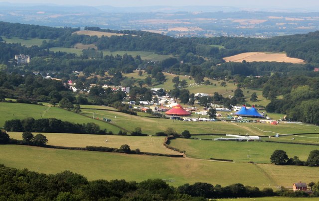
Catty Croft, located in Herefordshire, is a picturesque woodland area renowned for its stunning natural beauty and serene atmosphere. Nestled in the heart of the county, this charming forest is a haven for nature enthusiasts and outdoor adventurers.
Covering an expansive area, Catty Croft boasts a diverse range of flora and fauna, making it a paradise for wildlife lovers. The forest is home to a variety of tree species, including oak, beech, and birch, which create a vibrant and lush canopy overhead. The forest floor is adorned with a rich tapestry of wildflowers, ferns, and mosses, adding to its enchanting appeal.
Visitors to Catty Croft can enjoy numerous recreational activities amidst this tranquil setting. The forest offers a network of well-maintained walking trails, which cater to all levels of fitness and provide opportunities for exploration and discovery. Birdwatchers can delight in spotting a plethora of avian species, including woodpeckers, finches, and owls, while photographers will find endless inspiration in capturing the forest's natural beauty.
For those seeking a more immersive experience, camping facilities are available in designated areas, allowing visitors to spend a night under the stars and wake up to the soothing sounds of nature. Additionally, picnic spots are scattered throughout the woodland, providing the perfect setting for a leisurely lunch or a family gathering.
Catty Croft is a true gem of Herefordshire, offering respite from the hustle and bustle of everyday life and providing a sanctuary for those seeking solace in nature's embrace.
If you have any feedback on the listing, please let us know in the comments section below.
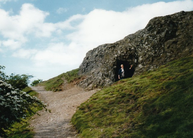
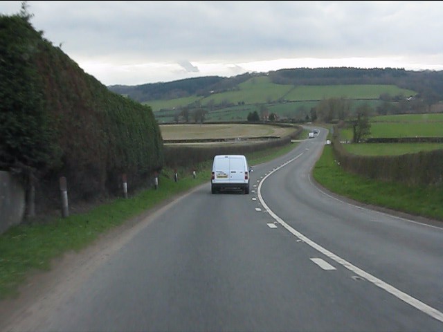
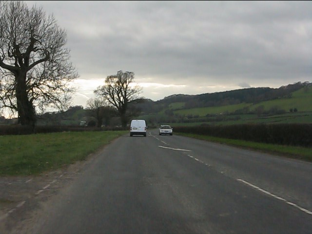
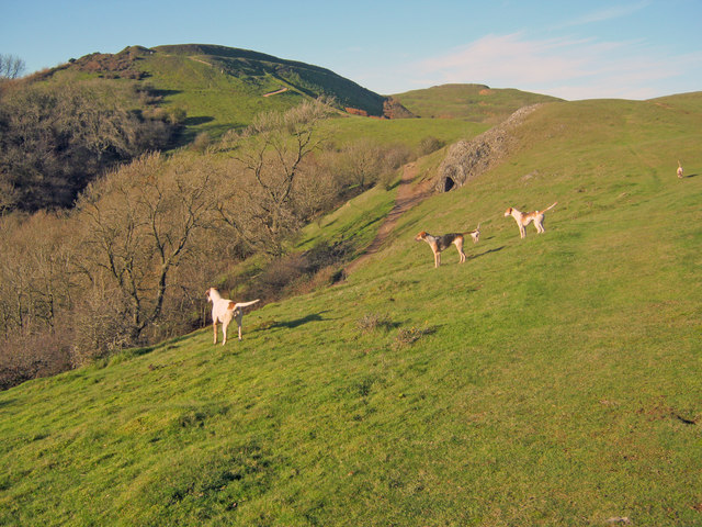
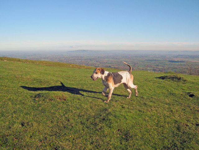
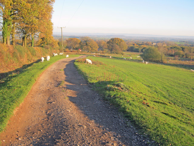
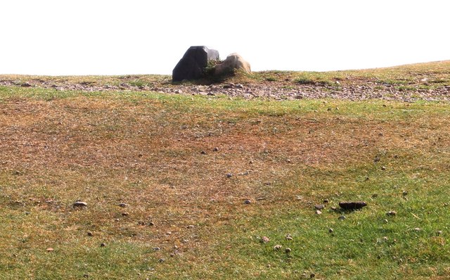
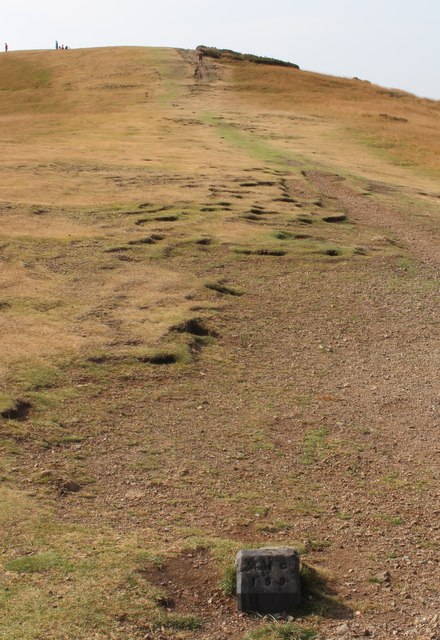
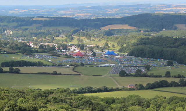
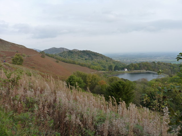
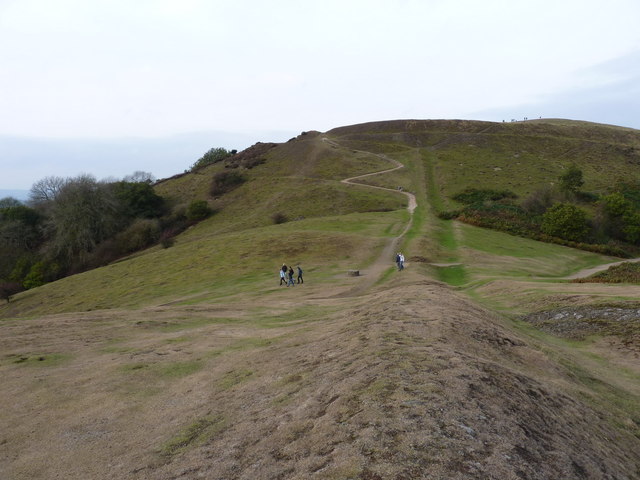
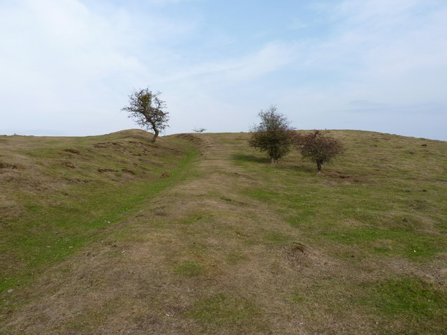
Catty Croft Images
Images are sourced within 2km of 52.058031/-2.3592261 or Grid Reference SO7540. Thanks to Geograph Open Source API. All images are credited.
Catty Croft is located at Grid Ref: SO7540 (Lat: 52.058031, Lng: -2.3592261)
Unitary Authority: County of Herefordshire
Police Authority: West Mercia
What 3 Words
///shrub.searcher.revealing. Near Ledbury, Herefordshire
Nearby Locations
Related Wikis
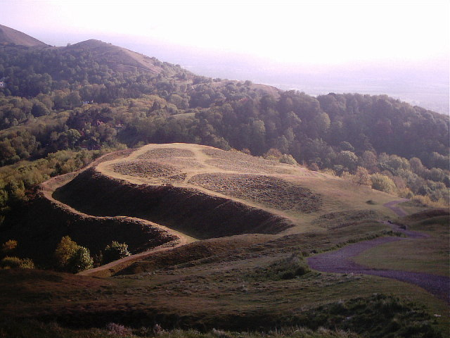
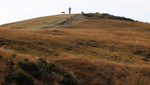
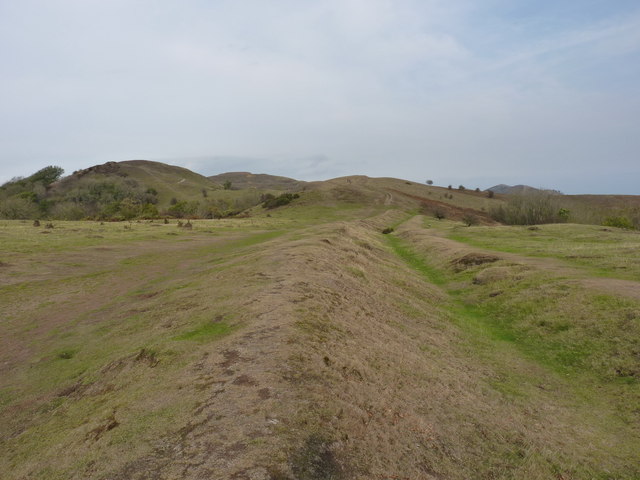
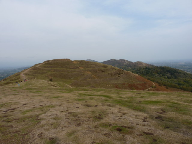
Herefordshire Beacon
The Herefordshire Beacon is one of the highest peaks of the Malvern Hills. It is surrounded by a British Iron Age hill fort earthwork known as British...

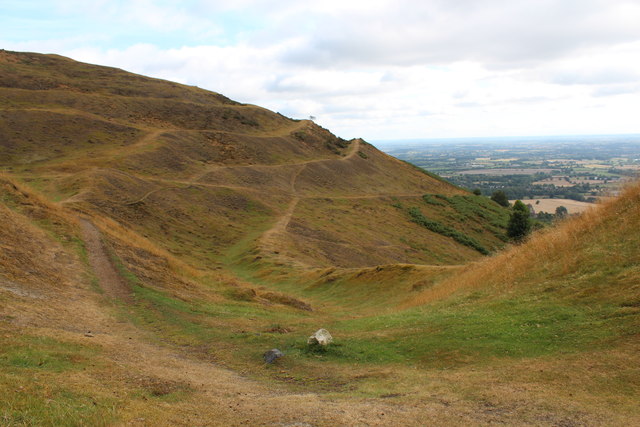
British Camp
British Camp is an Iron Age hill fort located at the top of Herefordshire Beacon in the Malvern Hills. The hill fort is protected as a Scheduled Ancient...
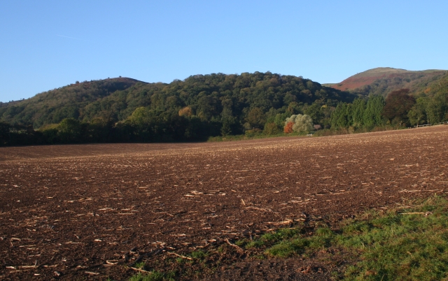
Tinkers Hill
Tinkers Hill is situated in the range of Malvern Hills that runs about 13 kilometres (8 mi) north-south along the Herefordshire-Worcestershire border....

Swinyard Hill
Swinyard Hill is a hill in the Malvern Range, a line of hills that runs approximately 13 kilometres (8 mi) north-south along the Herefordshire-Worcestershire...

Little Malvern
Little Malvern is a small village and civil parish in Worcestershire, England. It is situated on the lower slopes of the Malvern Hills, south of Malvern...

The Elms School, Colwall
The Elms School is a co-educational private boarding prep school located in Colwall, Herefordshire, England. Including the Early Years and Pre-Prep departments...

St Wulstan's Roman Catholic Church
St Wulstan's Roman Catholic Church, Little Malvern, Worcestershire, England is a Benedictine parish church administered by the monks of Downside Abbey...
Stowe Lane
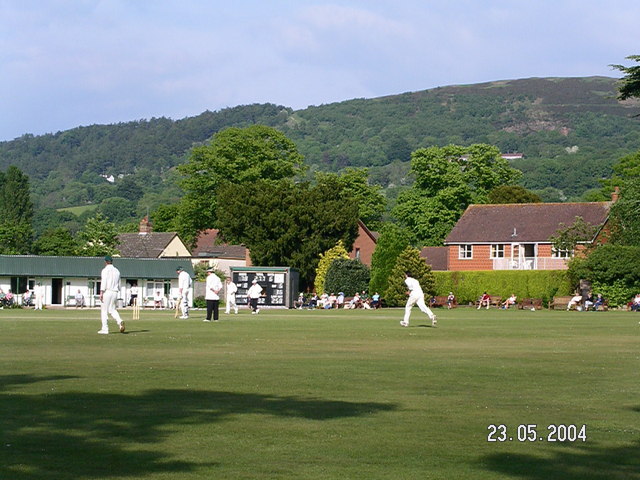
Stowe Lane is a cricket ground in Colwall, Herefordshire. The first recorded county match on the ground was in 1974, when the Worcestershire Second XI...
Nearby Amenities
Located within 500m of 52.058031,-2.3592261Have you been to Catty Croft?
Leave your review of Catty Croft below (or comments, questions and feedback).