Shawgreen Wood
Wood, Forest in Cheshire
England
Shawgreen Wood

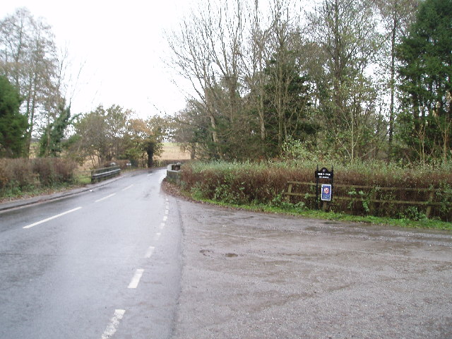
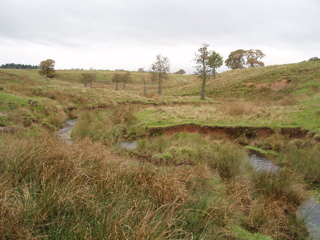
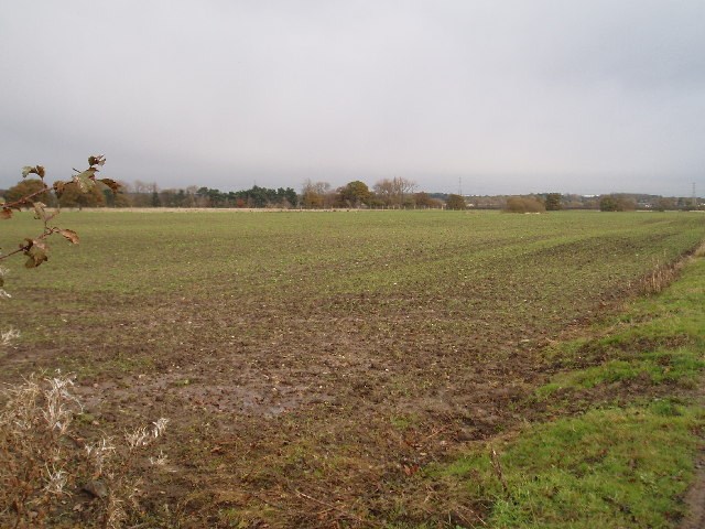
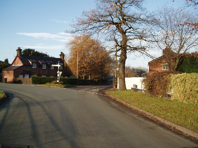
Shawgreen Wood is a picturesque woodland located in Cheshire, England. Covering an area of approximately 100 acres, it is a diverse and thriving forest that offers a tranquil escape from the bustling city life. The wood is situated near the village of Shawgreen, nestled between rolling hills and lush green fields.
The woodland is predominantly made up of native deciduous trees, including oak, beech, and birch, which create a rich and vibrant canopy during the summer months. The forest floor is adorned with a variety of wildflowers, ferns, and mosses, adding to the natural beauty of the area.
Shawgreen Wood is home to a wide range of wildlife, making it an ideal spot for nature enthusiasts and birdwatchers. Visitors may be lucky enough to spot deer, foxes, badgers, and squirrels, as well as a wide array of bird species, including woodpeckers, owls, and various songbirds.
There are several well-maintained footpaths that wind through the wood, allowing visitors to fully explore and appreciate the natural surroundings. These paths lead to peaceful clearings, where one can relax and enjoy a picnic or simply take in the serene atmosphere.
Managed by the local council, Shawgreen Wood also serves as an educational resource for schools and community groups. Various educational programs are conducted throughout the year, providing insight into the importance of woodland conservation and the diverse ecosystems that can be found within the forest.
Overall, Shawgreen Wood is a cherished natural gem in Cheshire, offering visitors a chance to connect with nature and experience the beauty of a thriving woodland environment.
If you have any feedback on the listing, please let us know in the comments section below.
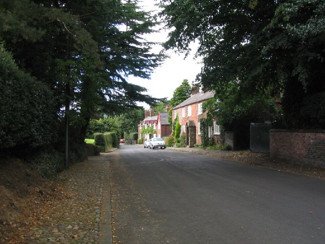
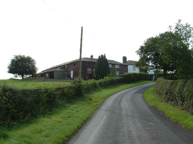
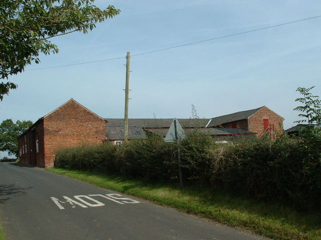
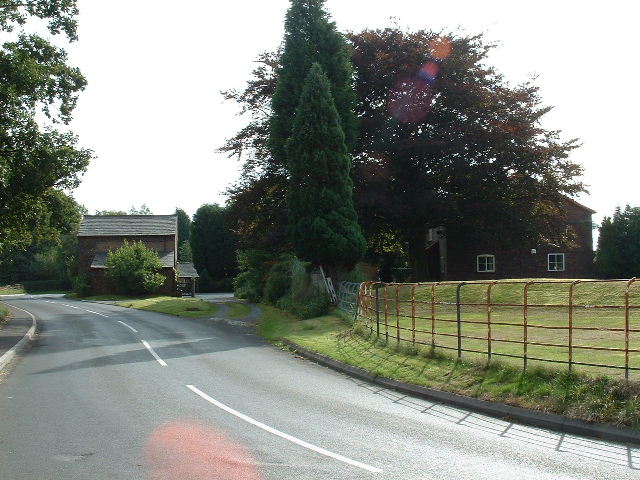
Shawgreen Wood Images
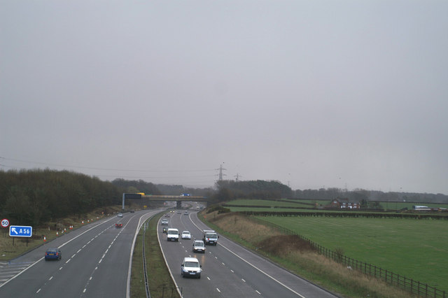
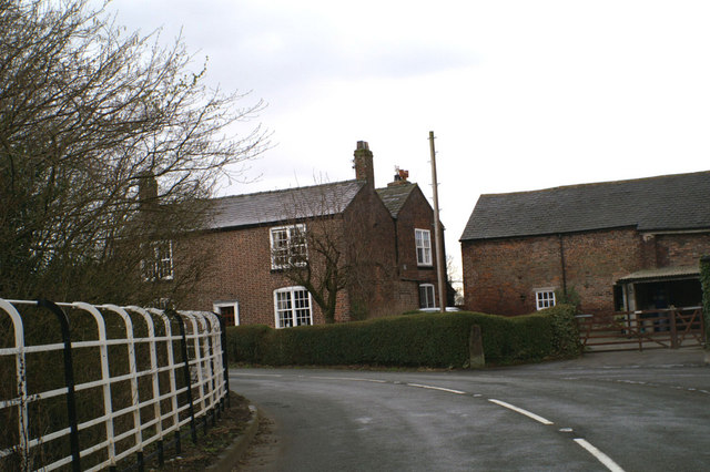
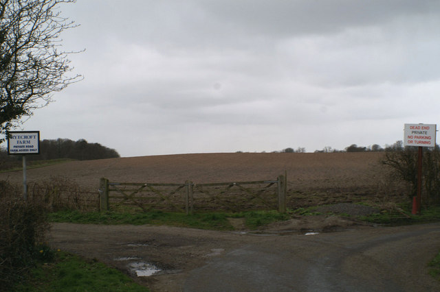
Images are sourced within 2km of 53.351214/-2.3700275 or Grid Reference SJ7583. Thanks to Geograph Open Source API. All images are credited.


Shawgreen Wood is located at Grid Ref: SJ7583 (Lat: 53.351214, Lng: -2.3700275)
Unitary Authority: Cheshire East
Police Authority: Cheshire
What 3 Words
///trace.zebra.amber. Near Ashley, Cheshire
Nearby Locations
Related Wikis

Rostherne
Rostherne is a village and former civil parish, now in the parish of Millington and Rostherne, in the unitary authority area of Cheshire East and the ceremonial...

Rostherne Mere
Rostherne Mere is a natural lake in Cheshire, England. It is the largest of the Cheshire meres with an area of 48 hectares (120 acres) and a maximum depth...
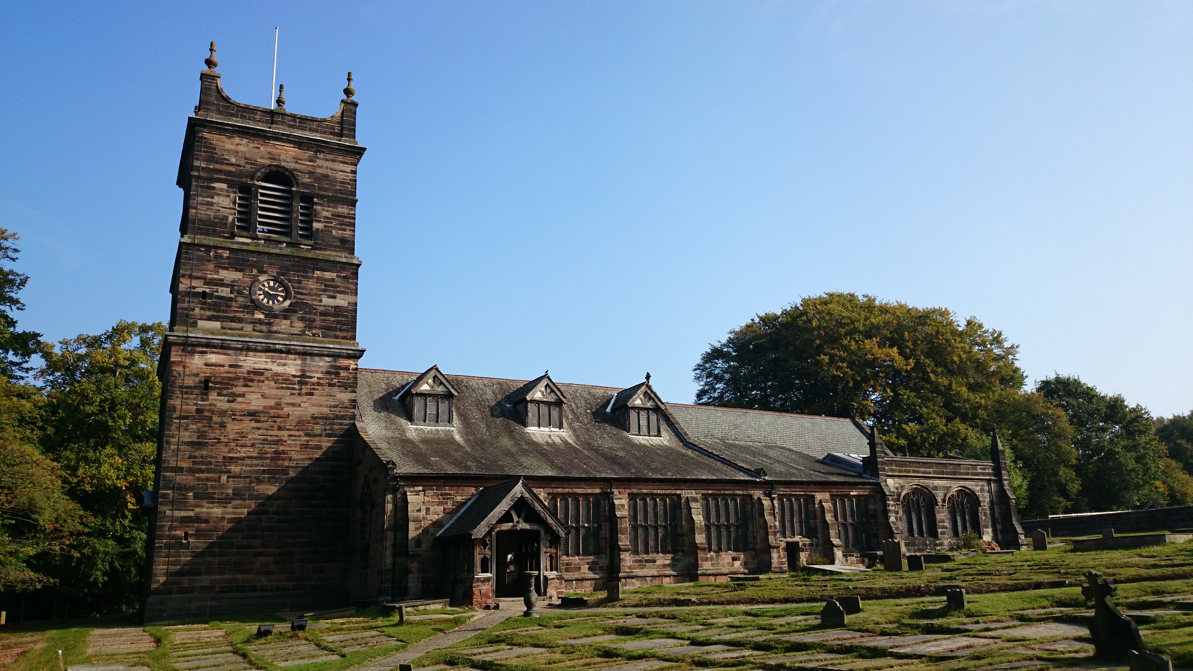
St Mary's Church, Rostherne
St Mary's Church lies between the village of Rostherne and Rostherne Mere in Cheshire, England. The church is recorded in the National Heritage List for...

Ashley Hall, Cheshire
Ashley Hall is a country house standing to the north of the village of Ashley, Cheshire, England. It dates from the late 16th to the early 17th century...

St Elizabeth's Church, Ashley
St Elizabeth's Church is on Ashley Road in the village of Ashley, Cheshire, England. It is an active Anglican parish church in the deanery of Bowdon,...

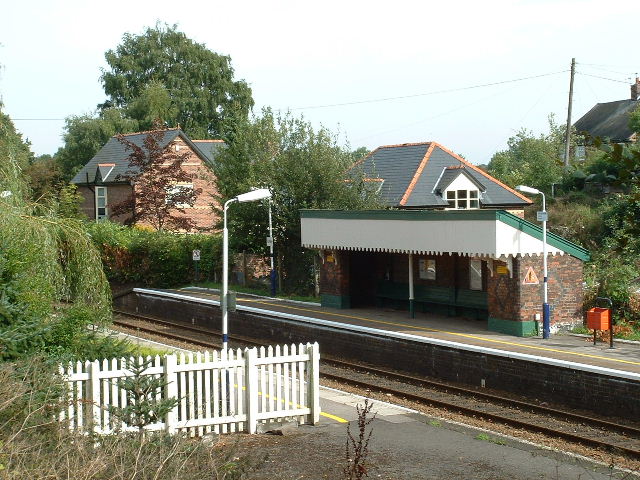
Ashley railway station
Ashley railway station is in the village of Ashley in Cheshire, England. It is located on the Mid-Cheshire line 17+3⁄4 miles (28.6 km) southwest of Manchester...
Ashley, Cheshire
Ashley is a village and civil parish in Cheshire, England. At the 2001 census, it had a population of 261. The village is close to the border with Greater...
Watch Hill Castle
Watch Hill Castle (also known as Yarwood Castle, Castle Hill, and Bowdon Watch) is a medieval motte-and-bailey on the boundary of Bowdon and Dunham Massey...
Nearby Amenities
Located within 500m of 53.351214,-2.3700275Have you been to Shawgreen Wood?
Leave your review of Shawgreen Wood below (or comments, questions and feedback).