Ward's Plantation

Wood, Forest in Cheshire

England

Ward's Plantation

Home Farm, Tatton Park A working farm, open to the public as part of the National Trust's Tatton Park.
Home Farm, Tatton Park Credit: Rich Daley

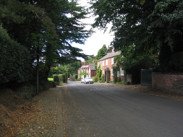
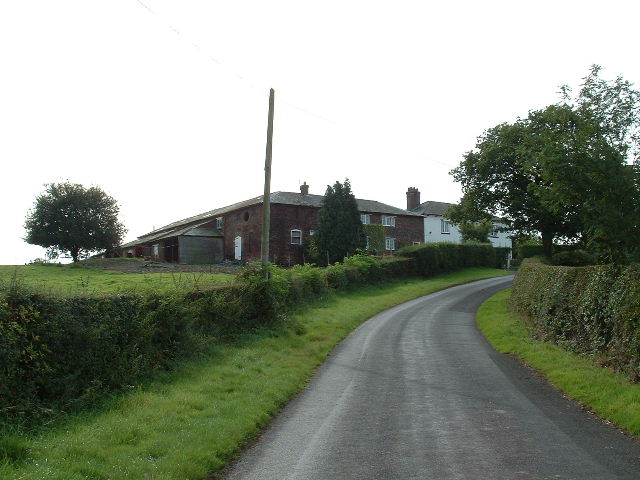
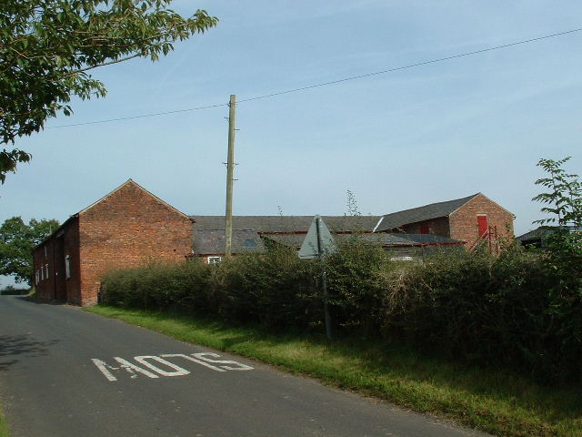
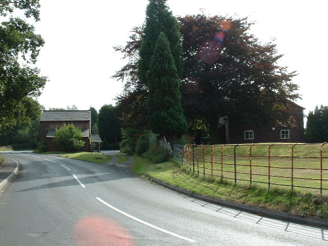
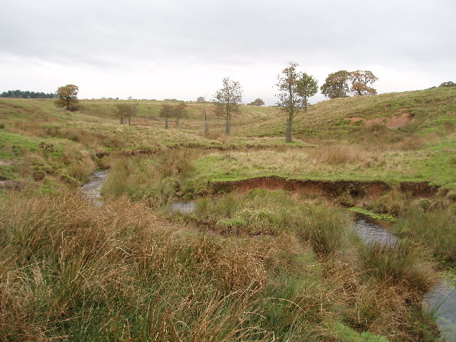
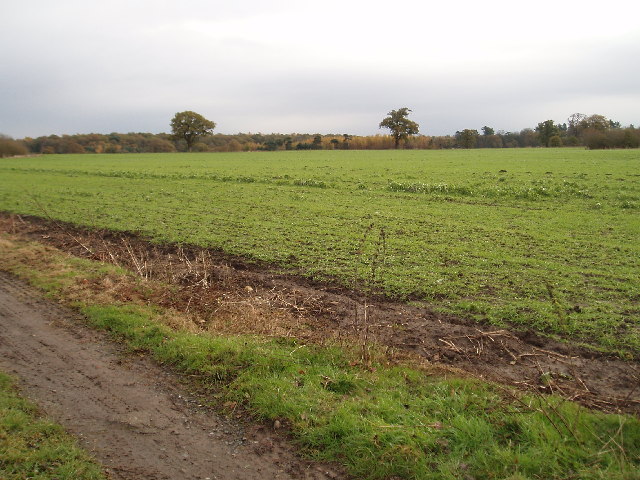
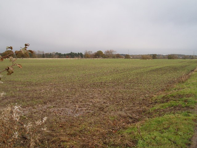
Ward's Plantation is a historic woodland area located in Cheshire, England. Covering a vast expanse of lush greenery, the plantation is renowned for its natural beauty and diverse flora and fauna. Nestled within the scenic landscape of Cheshire, Ward's Plantation is a popular destination for nature enthusiasts, hikers, and photographers.

The woodland is predominantly comprised of deciduous trees, such as oak, beech, and birch, which lend a vibrant and colorful appeal to the area throughout the year. The plantation is well-maintained, with clear pathways and trails that allow visitors to explore its enchanting surroundings.

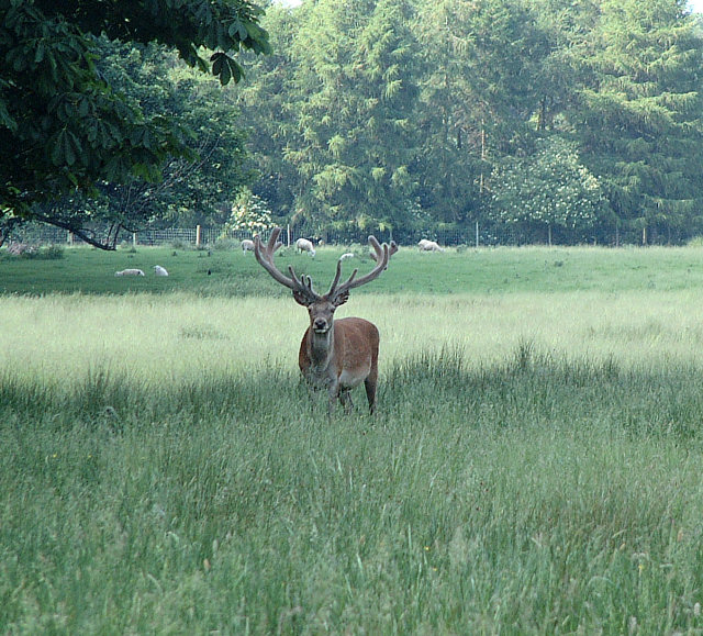
The forest is home to a variety of wildlife, including deer, rabbits, squirrels, and a plethora of bird species. Nature lovers can spot these creatures in their natural habitat, making the plantation an ideal spot for birdwatching and wildlife photography.

Ward's Plantation is also known for its historical significance. It dates back several centuries and has witnessed various events that have shaped the local heritage. The forest area served as a hunting ground for nobles and aristocrats during medieval times and has retained its charm and allure over the years.

Today, Ward's Plantation offers a serene and tranquil retreat from the hustle and bustle of urban life. Visitors can enjoy leisurely walks, picnics, or simply revel in the tranquility of the surroundings. The plantation is easily accessible, with ample parking facilities and well-marked signposts.

If you have any feedback on the listing, please let us know in the comments section below.

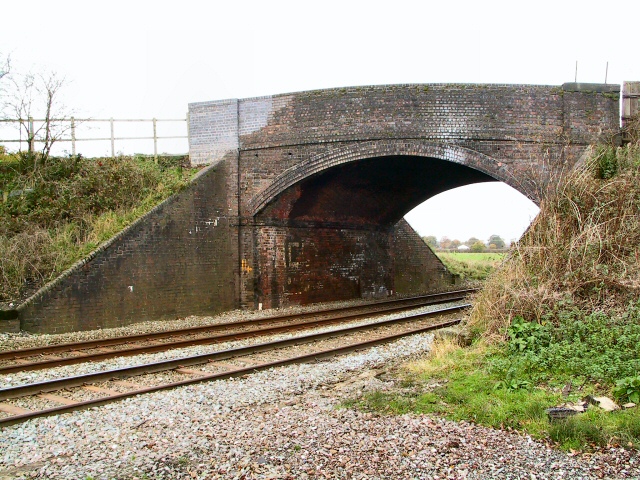
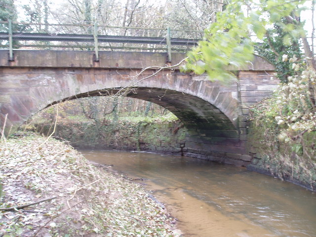
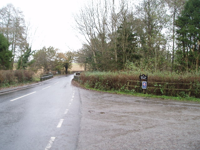
Ward's Plantation Images

Images are sourced within 2km of 53.344893/-2.3677347 or Grid Reference SJ7583. Thanks to Geograph Open Source API. All images are credited.

Home Farm, Tatton Park A working farm, open to the public as part of the National Trust's Tatton Park.
Home Farm, Tatton Park
A working farm, open to the public as part of the National Trust's Tatton Park.
Tatton Old Hall Sword fighting demonstration at a Mediaeval Fair on a very hot day in June! The Mediaeval Hall is in the background.
Tatton Old Hall
Sword fighting demonstration at a Mediaeval Fair on a very hot day in June! The Mediaeval Hall is in the background.
Lake in Tatton Park The smaller of two lakes (Melchett Mere) in the area lies in the south west corner of the grid square. Picture taken looking south.
Lake in Tatton Park
The smaller of two lakes (Melchett Mere) in the area lies in the south west corner of the grid square. Picture taken looking south.
Deer Deer in Tatton Park
Deer
Deer in Tatton Park
Parish church of St. Mary This view of the church was taken from SJ742836 looking east.
Parish church of St. Mary
This view of the church was taken from SJ742836 looking east.
Rostherne village This image was taken looking Northish through the village of Rostherne, stood at SJ743833.
Rostherne village
This image was taken looking Northish through the village of Rostherne, stood at SJ743833.
Shaw Green Farm From the North
Shaw Green Farm
From the North
Rostherne Mere Looking South over the lake (note tower of Rostherne village church <a href="https://www.geograph.org.uk/gridref/SJ7483">SJ7483</a>visible on RHS)
Rostherne Mere
Looking South over the lake (note tower of Rostherne village church SJ7483visible on RHS)
Briddon Weir Farm Looking NW up the lane
Briddon Weir Farm
Looking NW up the lane
Birkin Farm Near the southern edge of the square
Birkin Farm
Near the southern edge of the square
Lowerhouse Bridge Looking north up the line towards Ashley. The bridge is at the intersection of Lowerhouse Lane.
Lowerhouse Bridge
Looking north up the line towards Ashley. The bridge is at the intersection of Lowerhouse Lane.
Fishing by Cicely Mill These meres were not in existence according to the 1940's OS map, and must have been artificially created in the interim. Bordering on Cicely Lane near Rostherne, they are a popular spot for anglers.
Fishing by Cicely Mill
These meres were not in existence according to the 1940's OS map, and must have been artificially created in the interim. Bordering on Cicely Lane near Rostherne, they are a popular spot for anglers.
The Ashley road bridge over the Birkin Brook It looks more like a river here!! (Having been joined by the Tatton Mere Brook, Mobberley Brook & Sugar Brook all within SJ7638)
The Ashley road bridge over the Birkin Brook
It looks more like a river here!! (Having been joined by the Tatton Mere Brook, Mobberley Brook & Sugar Brook all within SJ7638)
Ashley road bridge (Over the Birkin Brook) Looking north towards Ashley , the turning to the right is to Birtles Farm
Ashley road bridge (Over the Birkin Brook)
Looking north towards Ashley , the turning to the right is to Birtles Farm
Tatton Park Deer Enclosure Taken from the extreme NE corner of Tatton Park perimeter fence. (looking north over the fence into the Deer enclosure)
Tatton Park Deer Enclosure
Taken from the extreme NE corner of Tatton Park perimeter fence. (looking north over the fence into the Deer enclosure)
Farm land in Tatton Park Taken from the track east of the old mill pond.(This whole square is just farmland)
Farm land in Tatton Park
Taken from the track east of the old mill pond.(This whole square is just farmland)
Farm land in Tatton Park Taken from the same position as previous photo but looking NE
Farm land in Tatton Park
Taken from the same position as previous photo but looking NE
Tatton Mere Mill Pool Located in the NE corner of the square, this small mill pool is on the outlet stream from Tatton Mere. Thanks to Judy Popley (Geograph visitor and ex Tatton Estate employee) for additional information. The water flow was used to generate electricity for the estate at one time and indeed the water is still used for the toilets in the stable yard. Pump house is out of shot to the left.
The vehicle in the picture is that of the Park Rangers who appear to be maintaining the outlet.
Tatton Mere Mill Pool
Located in the NE corner of the square, this small mill pool is on the outlet stream from Tatton Mere. Thanks to Judy Popley (Geograph visitor and ex Tatton Estate employee) for additional information. The water flow was used to generate electricity for the estate at one time and indeed the water is still used for the toilets in the stable yard. Pump house is out of shot to the left. The vehicle in the picture is that of the Park Rangers who appear to be maintaining the outlet.
Show me another place!

Ward's Plantation is located at Grid Ref: SJ7583 (Lat: 53.344893, Lng: -2.3677347)

Unitary Authority: Cheshire East

Police Authority: Cheshire

What 3 Words

///bunk.nobody.cure. Near Ashley, Cheshire

Related Wikis

Rostherne

Rostherne is a village and former civil parish, now in the parish of Millington and Rostherne, in the unitary authority area of Cheshire East and the ceremonial...

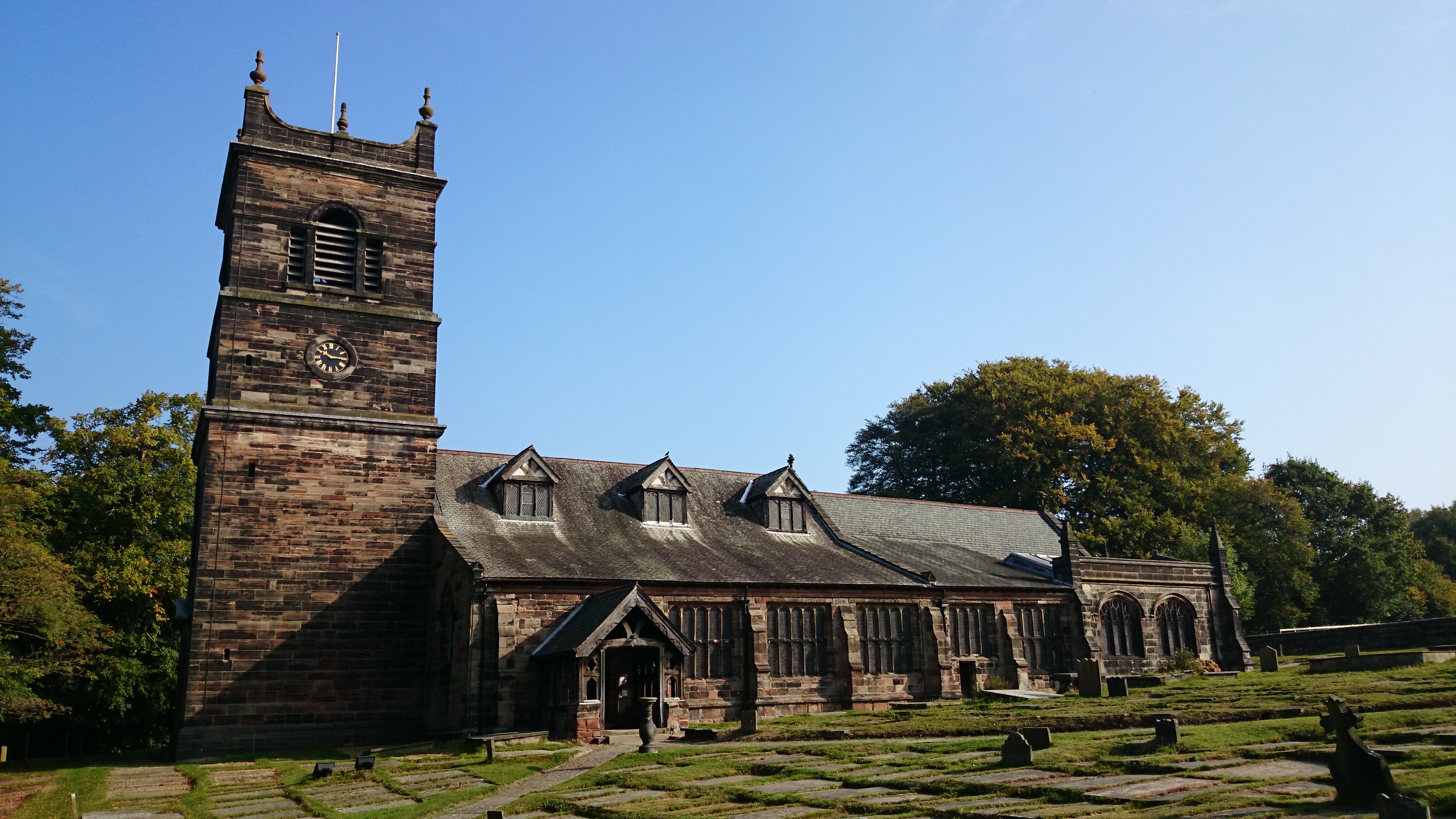
St Mary's Church, Rostherne

St Mary's Church lies between the village of Rostherne and Rostherne Mere in Cheshire, England. The church is recorded in the National Heritage List for...
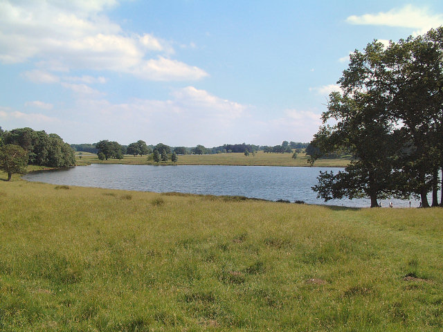
Rostherne Mere

Rostherne Mere is a natural lake in Cheshire, England. It is the largest of the Cheshire meres with an area of 48 hectares (120 acres) and a maximum depth...

Tatton Old Hall

Tatton Old Hall is a historic building in Tatton Park near Knutsford, Cheshire, England. It is designated by English Heritage as a Grade II* listed building...
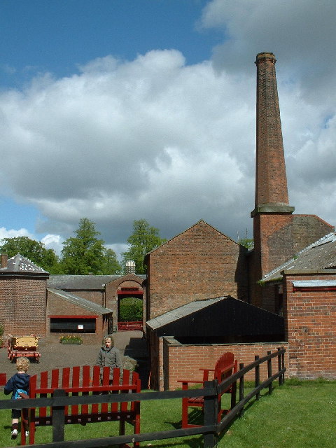
Tatton Park

Tatton Park is a historic estate in Cheshire, England, north of the town of Knutsford. It contains a mansion, Tatton Hall; a medieval manor house, Tatton...

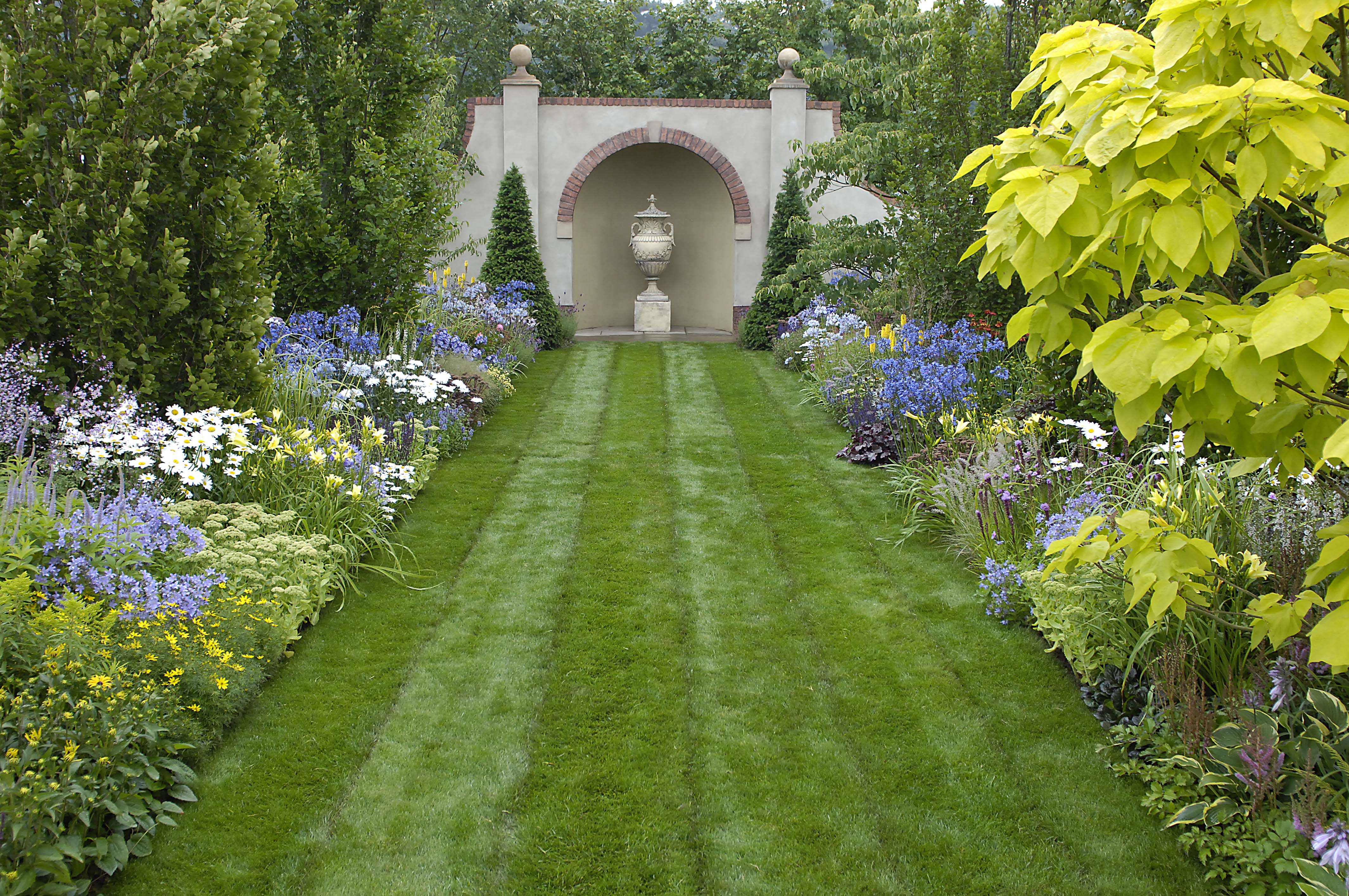
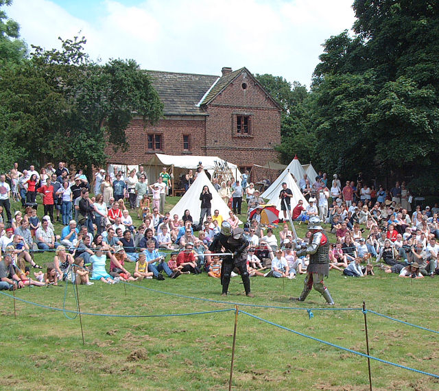
Tatton Park Flower Show

RHS Flower Show Tatton Park held at Tatton Park, near Knutsford, Cheshire, first began in 1999 by the Royal Horticultural Society. The show houses the...

Tatton Hall

Tatton Hall is a country house in Tatton Park near Knutsford, Cheshire, England. It is designated as a Grade I listed building and is open to the public...

St Elizabeth's Church, Ashley

St Elizabeth's Church is on Ashley Road in the village of Ashley, Cheshire, England. It is an active Anglican parish church in the deanery of Bowdon,...

Nearby Amenities

Located within 500m of 53.344893,-2.3677347
The data included in this document is from www.openstreetmap.org. The data is made available under ODbL.

Have you been to Ward's Plantation?

Leave your review of Ward's Plantation below (or comments, questions and feedback).