Greendale Wood

Wood, Forest in Yorkshire Ribble Valley

England

Greendale Wood

Seldom used railway line at Chatburn
Seldom used railway line at Chatburn Credit: Peter Moore

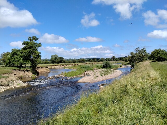
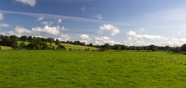
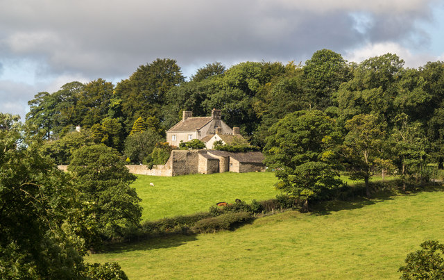
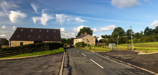
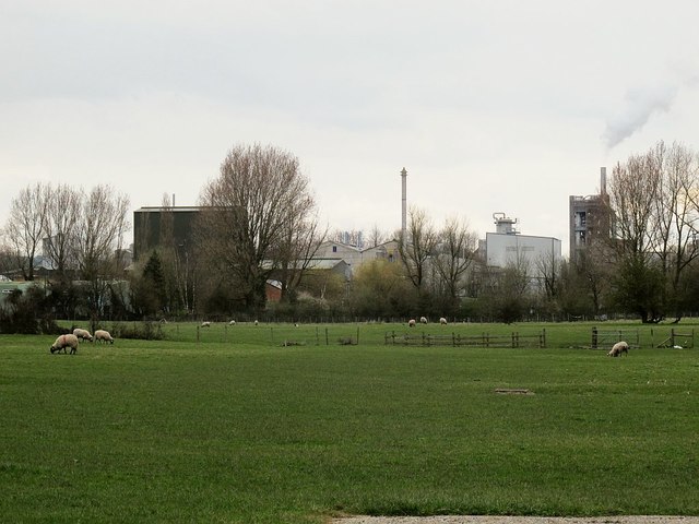
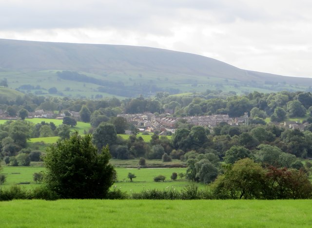
Greendale Wood is a picturesque woodland located in the county of Yorkshire, England. Situated in the heart of the region, it covers an area of approximately 100 acres and is renowned for its natural beauty and diverse ecosystem. The wood is situated near the small village of Greendale, which adds to its charm and tranquility.

The woodland consists primarily of broadleaf trees, such as oak, beech, and ash, which create an enchanting canopy that provides shade and shelter for the many creatures that call the wood home. The forest floor is carpeted with a variety of wildflowers, ferns, and mosses, adding to its enchanting allure.

Greendale Wood is a haven for wildlife, attracting a wide range of species. Birdwatchers can spot various woodland birds, including woodpeckers, owls, and warblers. Small mammals like squirrels, rabbits, and hedgehogs can also be spotted scurrying through the undergrowth. In addition, the wood is home to a variety of insects, including butterflies and dragonflies, which thrive in the diverse habitat.

The wood is a popular destination for nature enthusiasts and walkers, who can explore its many walking trails and enjoy the peaceful ambiance. The well-maintained paths wind through the wood, offering visitors the chance to fully immerse themselves in the natural surroundings. Along the trails, there are benches and picnic spots for visitors to rest and appreciate the beauty of the woodland.

Overall, Greendale Wood is a precious natural gem in Yorkshire, offering a sanctuary for both wildlife and humans alike. Its lush trees, vibrant flora, and diverse animal life make it a must-visit destination for anyone seeking solace in nature.

If you have any feedback on the listing, please let us know in the comments section below.

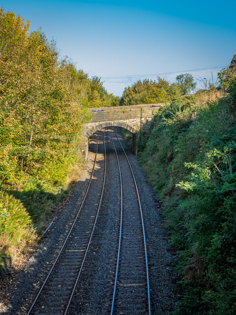
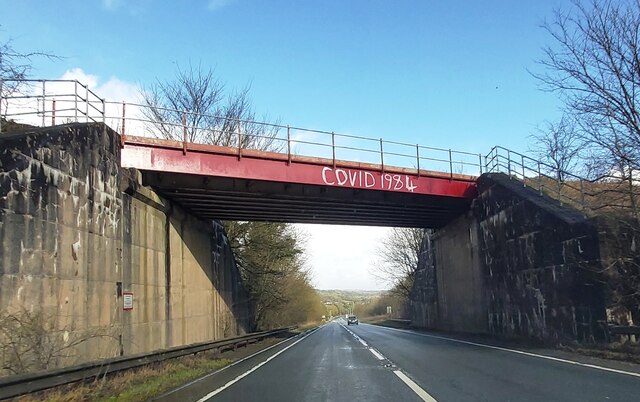
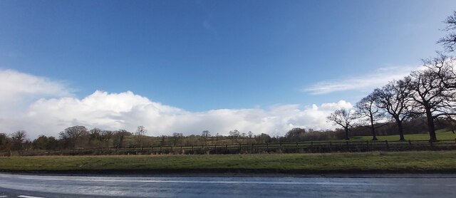
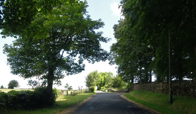
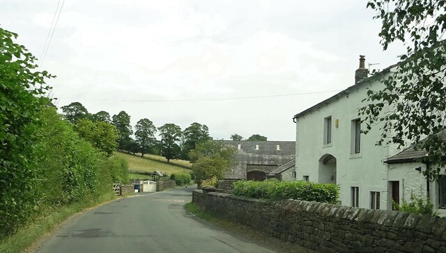
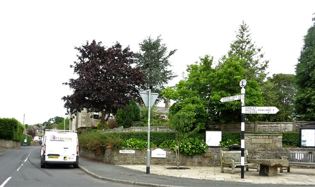
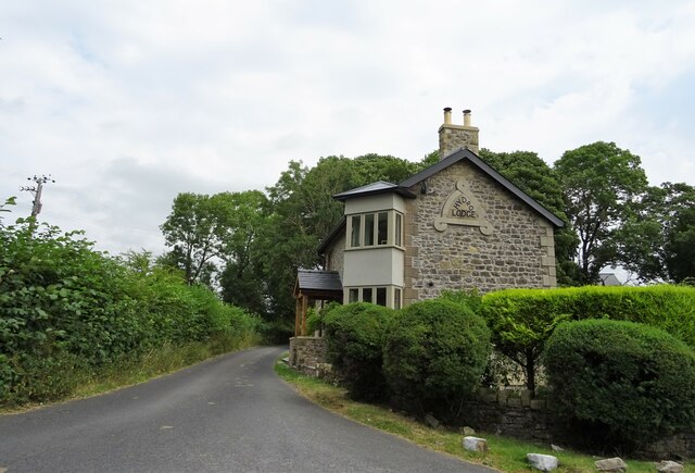
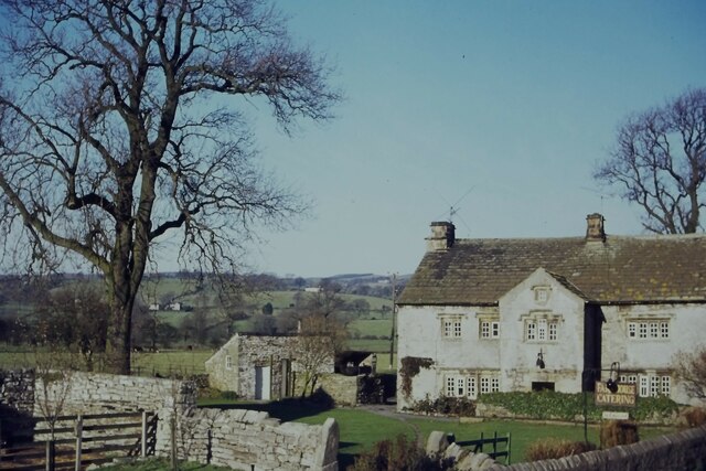
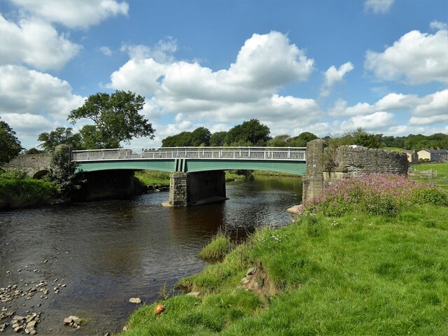
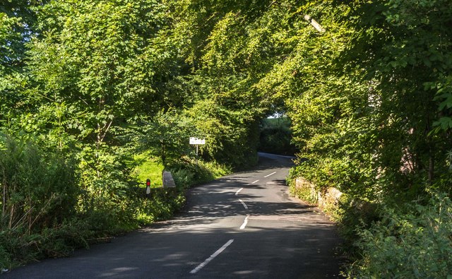
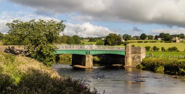
Greendale Wood Images

Images are sourced within 2km of 53.905099/-2.3726405 or Grid Reference SD7545. Thanks to Geograph Open Source API. All images are credited.

Seldom used railway line at Chatburn
Rail Bridge over the A59
Fields near Smithies Bridge
Lane Side Outside Grindleton on the road to Slaidburn.
Lane Side
Outside Grindleton on the road to Slaidburn.
Grindleton Road At West Bradford.
Grindleton Road
At West Bradford.
Grindleton village centre At the junction of Main Street and Greendale View.
Grindleton village centre
At the junction of Main Street and Greendale View.
Hydro Lodge An Edwardian lodge house on Sawley Road.
Hydro Lodge
An Edwardian lodge house on Sawley Road.
Arnot House, Chatburn Grade 2 Listed Building 1677. Limestone rubble with sandstone dressings and stone slate roof.
Arnot House, Chatburn
Grade 2 Listed Building 1677. Limestone rubble with sandstone dressings and stone slate roof.
River Ribble near Chatburn  The river at its most peaceful, after a long dry spell. Sand martin nests can be seen in the river bank on the left.
River Ribble near Chatburn
The river at its most peaceful, after a long dry spell. Sand martin nests can be seen in the river bank on the left.
Grindleton Bridge Spanning the River Ribble and used by the Ribble Way path
Grindleton Bridge
Spanning the River Ribble and used by the Ribble Way path
West Bradford Road West Bradford Road crossing West Clough Brook.
West Bradford Road
West Bradford Road crossing West Clough Brook.
Grindleton Bridge Grindleton Bridge crossing the River Ribble.
Grindleton Bridge
Grindleton Bridge crossing the River Ribble.
Grindleton Pasture at Grindleton.
Grindleton
Pasture at Grindleton.
Duke of York The Duke of York of public house in Grindleton.
Duke of York
The Duke of York of public house in Grindleton.
White Hall House at White Hall.
White Hall
House at White Hall.
West Bradford The East end of West Bradford.
West Bradford
The East end of West Bradford.
Hanson Cement works seen from Clitheroe The works has dominated the view north from Clitheroe for a long time.  This is a view from about a mile away. The leaning chimney seen in Alan Murray-Rust's view the previous year <a href="https://www.geograph.org.uk/photo/4480113">SD7543 : Hanson Cement, Clitheroe</a> has now been fixed.   A more recent industrial estate at Pimlico stands in the middle distance.
Hanson Cement works seen from Clitheroe
The works has dominated the view north from Clitheroe for a long time. This is a view from about a mile away. The leaning chimney seen in Alan Murray-Rust's view the previous year SD7543 : Hanson Cement, Clitheroe has now been fixed. A more recent industrial estate at Pimlico stands in the middle distance.
Farmland at Grindleton Chatburn in the mid ground.
Farmland at Grindleton
Chatburn in the mid ground.
Show me another place!

Greendale Wood is located at Grid Ref: SD7545 (Lat: 53.905099, Lng: -2.3726405)

Division: West Riding

Administrative County: Lancashire

District: Ribble Valley

Police Authority: Lancashire

What 3 Words

///axed.universes.origins. Near Chatburn, Lancashire

Related Wikis

Grindleton

Grindleton is a village and civil parish in the Ribble Valley district of the English county of Lancashire, formerly in the West Riding of Yorkshire. Its...

Grindletonians

The Grindletonians were a Puritan sect that arose in the town of Grindleton in Lancashire, England, in around 1610. The sect remained active in the North...

St Ambrose's Church, Grindleton

St Ambrose's Church is in the village of Grindleton, which is situated about 3 miles (5 km) northeast of Clitheroe, Lancashire, England. It is an active...

Chatburn

Chatburn is a village, civil parish and electoral ward in the Ribble Valley, East Lancashire, England. The population of the civil parish at the 2011 census...

Bowland High

Bowland High is a coeducational secondary school with academy status, located in Grindleton in Lancashire, England. It educates pupils from ages 11–16...

West Bradford, Lancashire

West Bradford is a village and civil parish in Lancashire, England, 2.5 miles (4 km) north of Clitheroe. The population at the 2011 census was 788. It...

Christ Church, Chatburn

Christ Church is in the village of Chatburn, Lancashire, England. It is an active Anglican parish church in the deanery of Whalley, the archdeaconry of...

Eaves Hall

Eaves Hall was built in 1864 for John Burton (1809–1879), first son of James Burton and a wealthy cotton mill-owner.Sold by the Burtons in 1938, having...

Nearby Amenities

Located within 500m of 53.905099,-2.3726405
Grindleton
Place: village
Source: npe
Lat/Long: 53.9060835/-2.369277
Bus Stop
Bus: yes
Public Transport: platform
Lat/Long: 53.9057413/-2.3684734
Restaurant
The Duke of York
Lat/Long: 53.9051883/-2.3682856
Restaurant
The Buck Inn
Lat/Long: 53.9050872/-2.367599
Bus Stop
Bus: yes
Public Transport: platform
Lat/Long: 53.9051756/-2.3675239
Post Box
Post Box Type: wall
Royal Cypher: VR
Royal Cypher Wikidata: Q33102356
Lat/Long: 53.9052199/-2.3673951
Bus Stop
Bench: yes
Bus: yes
Departures Board: timetable
Naptan AtcoCode: 25001283
Naptan NaptanCode: lanajpgj
Public Transport: platform
Shelter: yes
Waste Basket: yes
Lat/Long: 53.9091454/-2.3709817
Bus Stop
Bus: yes
Public Transport: platform
Lat/Long: 53.9068354/-2.3692649
Post Box
Post Box Type: lamp
Royal Cypher: EIIR
Royal Cypher Wikidata: Q33102113
Lat/Long: 53.906977/-2.3691386
Bus Stop
Bus: yes
Public Transport: platform
Lat/Long: 53.9057793/-2.3682749
Public Bookcase
Grindleton Info Hub
Booth: KX100
Disused Amenity: telephone
Man Made: telephone_box
Public Bookcase Type: phone_box
Lat/Long: 53.9056497/-2.3684037
Bus Stop
Bus: yes
Naptan AtcoCode: 2500IMG2450
Naptan NaptanCode: langdama
Public Transport: platform
Lat/Long: 53.9077733/-2.3697072
Four Winds
Place: neighbourhood
Lat/Long: 53.9017344/-2.3752341
Noexit: yes
Lat/Long: 53.9029671/-2.3752074
Turning Circle
Lat/Long: 53.9091379/-2.3711103
Bus Stop
Bus: yes
Public Transport: platform
Lat/Long: 53.9019407/-2.3677009
Power: pole
Lat/Long: 53.9027105/-2.3788512
Power: pole
Lat/Long: 53.9045388/-2.3773626
Power: pole
Lat/Long: 53.9053495/-2.377215
Power: pole
Lat/Long: 53.9060036/-2.3766544
Power: pole
Lat/Long: 53.9065883/-2.3761717
Power: pole
Lat/Long: 53.9072488/-2.3755494
Power: pole
Lat/Long: 53.9079598/-2.3749539
Power: pole
Lat/Long: 53.908704/-2.3743048
Generator Method: photovoltaic
Generator Output Electricity: yes
Generator Source: solar
Generator Type: solar_photovoltaic_panel
Location: roof
Power: generator
Lat/Long: 53.905388/-2.3663081
The data included in this document is from www.openstreetmap.org. The data is made available under ODbL.

Have you been to Greendale Wood?

Leave your review of Greendale Wood below (or comments, questions and feedback).