West Clough Wood
Wood, Forest in Yorkshire Ribble Valley
England
West Clough Wood
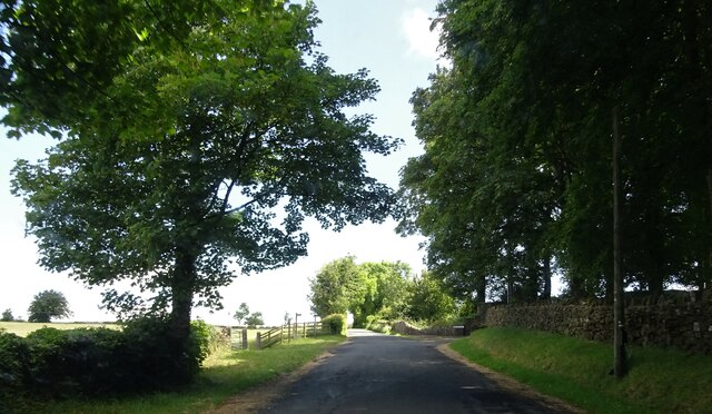
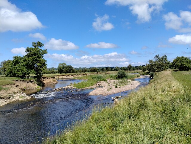
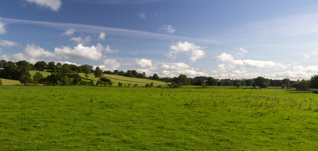
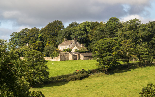
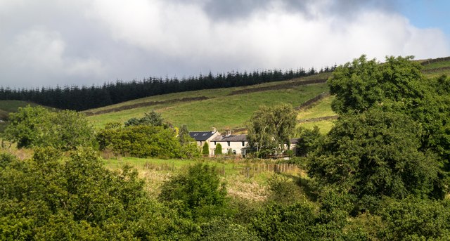
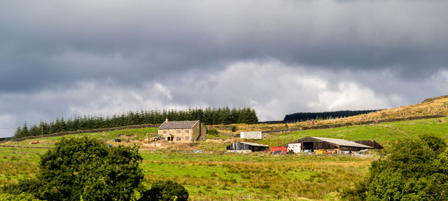
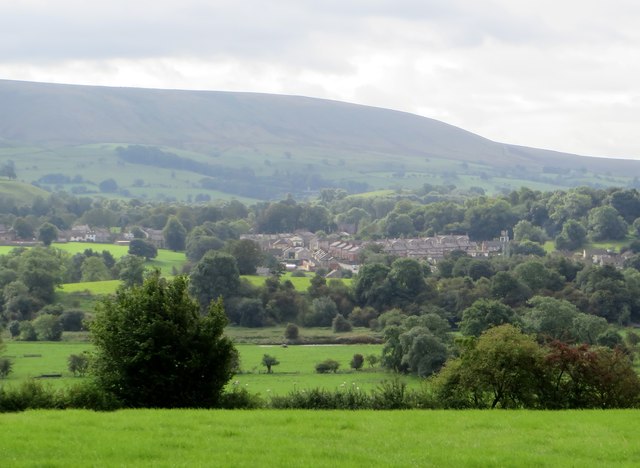
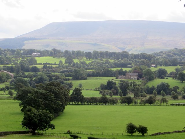
West Clough Wood is a picturesque woodland located in the county of Yorkshire, England. Spanning over a vast area, this forest is known for its enchanting natural beauty and diverse range of flora and fauna. The wood is situated in a remote location, offering a peaceful and tranquil environment away from the hustle and bustle of urban life.
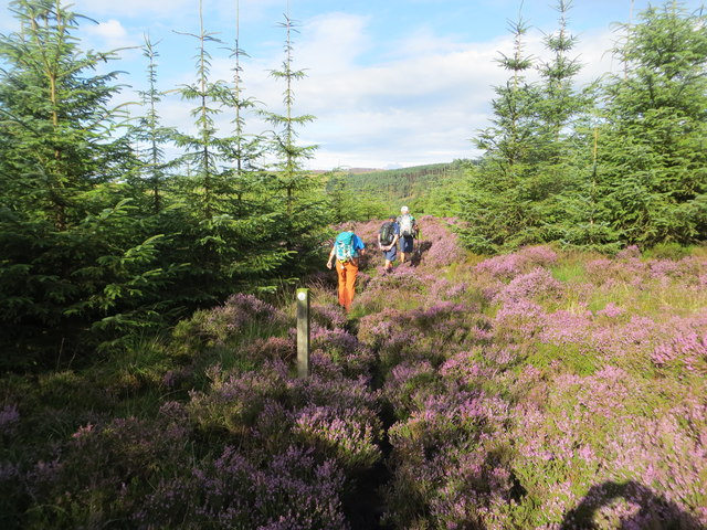
The woodland features a variety of tree species, including oak, beech, and birch, which create a dense canopy that provides shade and adds to the overall beauty of the forest. The forest floor is covered with a carpet of moss, ferns, and wildflowers, creating a vibrant and colorful landscape. The wood is also home to a myriad of wildlife, such as deer, foxes, badgers, and a wide array of bird species.
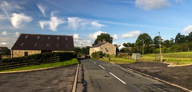
West Clough Wood offers several walking trails and paths, allowing visitors to explore and immerse themselves in nature. The peaceful ambiance and scenic views make it an ideal spot for nature lovers, hikers, and photographers. Additionally, the wood has a small picnic area, making it a perfect destination for a family day out.
The wood is well-maintained, with conservation efforts in place to protect the natural habitat and preserve its unique ecosystem. The Yorkshire Wildlife Trust oversees the management of the woodland, ensuring that it remains a haven for wildlife and a place of beauty for all to enjoy.
In summary, West Clough Wood is a captivating woodland in Yorkshire, offering a tranquil escape into nature. Its diverse flora and fauna, well-maintained trails, and stunning scenery make it a must-visit destination for nature enthusiasts and those seeking a peaceful retreat.
If you have any feedback on the listing, please let us know in the comments section below.
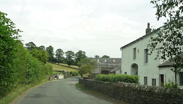
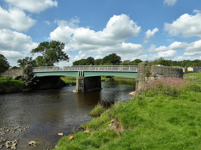
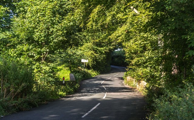
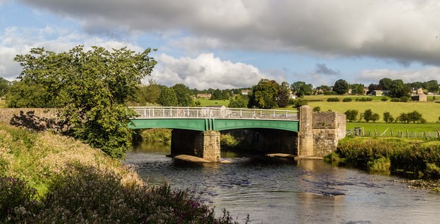
West Clough Wood Images
Images are sourced within 2km of 53.907228/-2.3815336 or Grid Reference SD7545. Thanks to Geograph Open Source API. All images are credited.
West Clough Wood is located at Grid Ref: SD7545 (Lat: 53.907228, Lng: -2.3815336)
Division: West Riding
Administrative County: Lancashire
District: Ribble Valley
Police Authority: Lancashire
What 3 Words
///tripling.emporium.every. Near Chatburn, Lancashire
Nearby Locations
Related Wikis

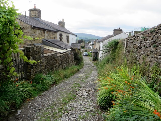
Grindleton
Grindleton is a village and civil parish in the Ribble Valley district of the English county of Lancashire, formerly in the West Riding of Yorkshire. Its...

Grindletonians
The Grindletonians were a Puritan sect that arose in the town of Grindleton in Lancashire, England, in around 1610. The sect remained active in the North...
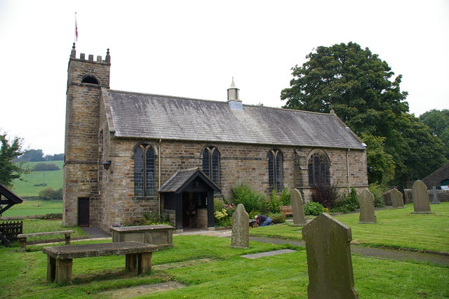
St Ambrose's Church, Grindleton
St Ambrose's Church is in the village of Grindleton, which is situated about 3 miles (5 km) northeast of Clitheroe, Lancashire, England. It is an active...

West Bradford, Lancashire
West Bradford is a village and civil parish in Lancashire, England, 2.5 miles (4 km) north of Clitheroe. The population at the 2011 census was 788. It...

Eaves Hall
Eaves Hall was built in 1864 for John Burton (1809–1879), first son of James Burton and a wealthy cotton mill-owner.Sold by the Burtons in 1938, having...

Chatburn
Chatburn is a village, civil parish and electoral ward in the Ribble Valley, East Lancashire, England. The population of the civil parish at the 2011 census...

Bowland High
Bowland High is a coeducational secondary school with academy status, located in Grindleton in Lancashire, England. It educates pupils from ages 11–16...

Christ Church, Chatburn
Christ Church is in the village of Chatburn, Lancashire, England. It is an active Anglican parish church in the deanery of Whalley, the archdeaconry of...
Nearby Amenities
Located within 500m of 53.907228,-2.3815336Have you been to West Clough Wood?
Leave your review of West Clough Wood below (or comments, questions and feedback).