Ashcombe Wood
Wood, Forest in Somerset
England
Ashcombe Wood
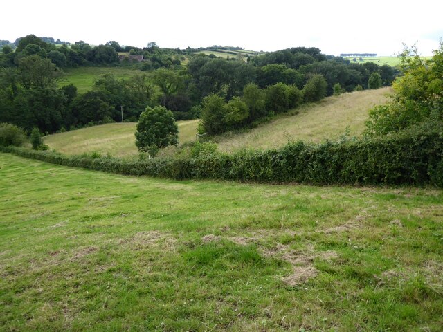
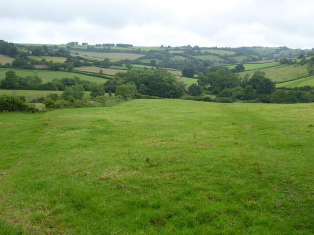
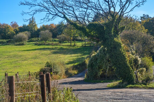
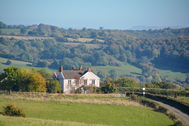
Ashcombe Wood is a picturesque woodland located in Somerset, England. Covering an area of approximately 150 acres, it is a popular destination for nature enthusiasts, hikers, and wildlife lovers. The wood is situated near the village of Ashcombe, nestled in the rolling hills of the beautiful Somerset countryside.
Ashcombe Wood is characterized by its diverse range of tree species, including oak, beech, birch, and ash trees. This variety creates a rich and vibrant ecosystem, providing a habitat for a wide array of flora and fauna. The forest floor is carpeted with bluebells in the spring, creating a stunning display of color and fragrance.
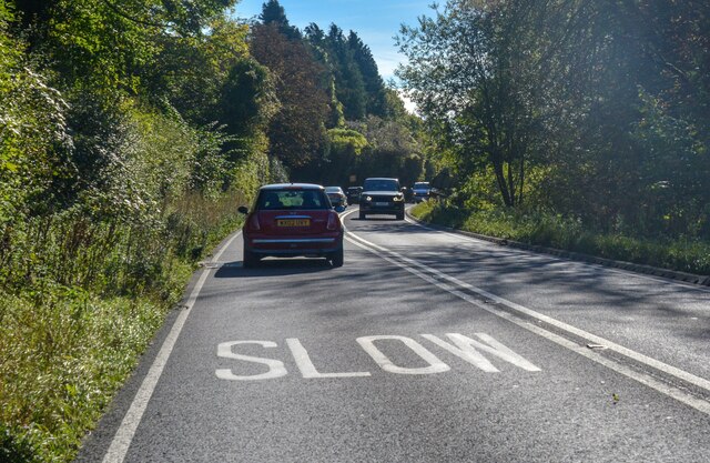
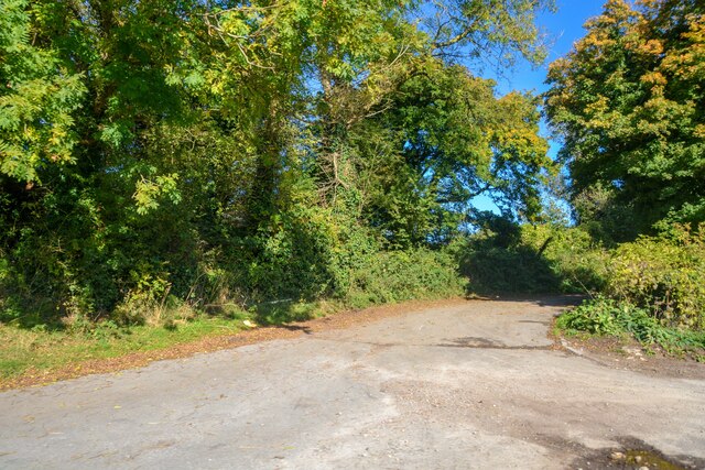
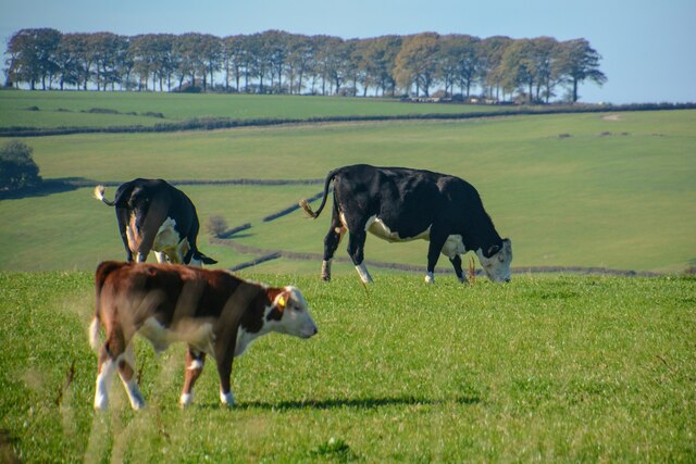
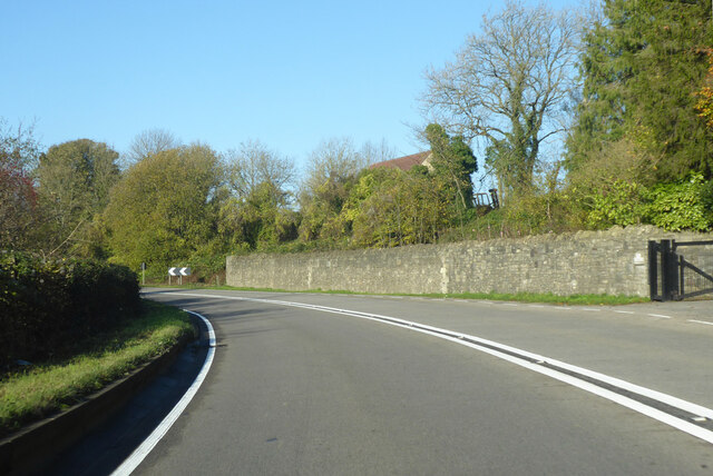
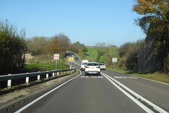
The wood is crisscrossed with a network of well-maintained paths and trails, allowing visitors to explore its serene beauty. These paths wind through towering trees and lead to tranquil clearings, where one can sit and enjoy the peaceful atmosphere. Along the way, visitors may spot a variety of wildlife, including deer, foxes, badgers, and a plethora of bird species.
Ashcombe Wood is managed by local authorities to preserve its natural beauty and ensure the protection of its diverse ecosystem. Visitors are encouraged to respect the woodland environment and follow the designated paths to minimize human impact on the delicate balance of nature.
Overall, Ashcombe Wood offers a serene and idyllic setting for those seeking to escape the hustle and bustle of everyday life. Whether for a leisurely stroll or a more adventurous hike, this woodland provides a tranquil retreat for all who enter its leafy embrace.
If you have any feedback on the listing, please let us know in the comments section below.
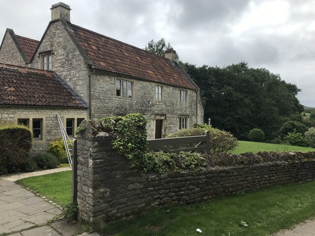
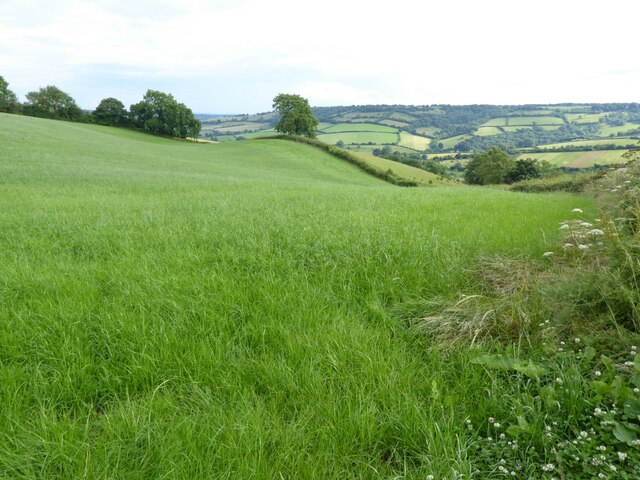
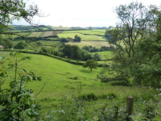
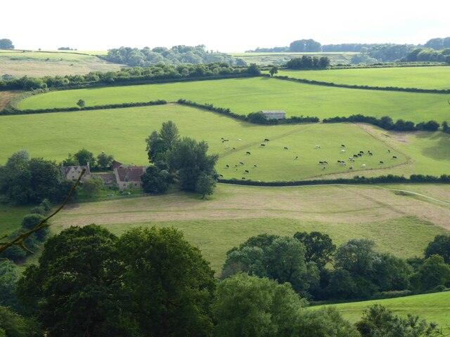
Ashcombe Wood Images
Images are sourced within 2km of 51.426669/-2.3605068 or Grid Reference ST7569. Thanks to Geograph Open Source API. All images are credited.


Ashcombe Wood is located at Grid Ref: ST7569 (Lat: 51.426669, Lng: -2.3605068)
Unitary Authority: Bath and North East Somerset
Police Authority: Avon and Somerset
What 3 Words
///stammer.forgot.showed. Near Cold Ashton, Gloucestershire
Nearby Locations
Related Wikis

Ashcombe House, Somerset
Ashcombe House at Swainswick, north-east of Bath in Somerset, England is a Gothic revival country house. It is a Grade II listed building. Ashcombe House...

St Mary Magdalene's Church, Langridge
St Mary Magdalene's Church at Langridge in the parish of Charlcombe, Somerset, England dates from the 12th century and has been designated as a Grade I...

RAF Charmy Down
Royal Air Force Charmy Down or more simply RAF Charmy Down is a former Royal Air Force station in Somerset, England, approximately 3 miles (4.8 km) north...

Monkswood Valley
Monkswood Valley (grid reference ST754710) is a 30.7-hectare biological Site of Special Scientific Interest (SSSI) near the village of Cold Ashton, South...
All Saints Church, Woolley
All Saints Church at Woolley in the parish of Charlcombe, Somerset, England, dates from 1761 and was built by John Wood, the Younger replacing an earlier...

Church of St Mary, Swainswick
The Anglican Church of St Mary in Swainswick within the English county of Somerset dates from the 12th century. It is a Grade II* listed building.Vestiges...

Swainswick
Swainswick is a small village and civil parish, 3 miles (4.8 km) northeast of Bath, on the A46 in the Bath and North East Somerset unitary authority, Somerset...
Charlcombe
Charlcombe is a civil parish and small village just north of Bath in the Bath and North East Somerset unitary authority, Somerset, England. The parish...
Nearby Amenities
Located within 500m of 51.426669,-2.3605068Have you been to Ashcombe Wood?
Leave your review of Ashcombe Wood below (or comments, questions and feedback).