Simball Wood

Wood, Forest in Herefordshire

England

Simball Wood

A438 at Eastnor
A438 at Eastnor Credit: Peter Whatley

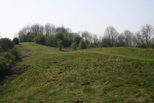
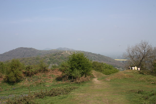
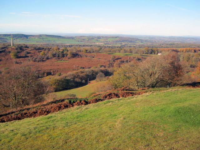
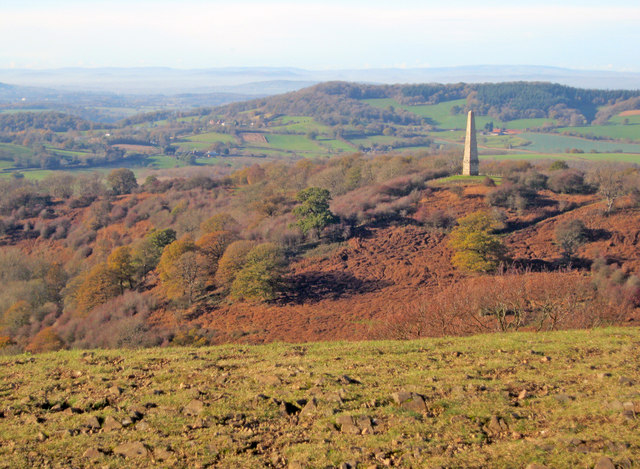
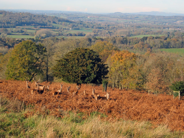
Simball Wood is a picturesque woodland located in Herefordshire, England. Situated near the village of Simball, this woodland encompasses an area of approximately 100 acres. It is renowned for its natural beauty, tranquil atmosphere, and diverse wildlife.

The wood is predominantly composed of ancient broadleaf trees, such as oak, beech, and ash, which provide a dense canopy and create a rich and vibrant ecosystem. Walking through Simball Wood, visitors are greeted with a carpet of bluebells during springtime, adding to its enchanting appeal.

The wood serves as a habitat for a wide range of wildlife species. Birdwatchers can spot various avian species, including woodpeckers, owls, and finches. Additionally, squirrels, rabbits, and hedgehogs are commonly seen scurrying through the undergrowth.

Nature enthusiasts and photographers are drawn to Simball Wood due to its idyllic scenery and diverse flora and fauna. Its well-maintained paths and trails make it accessible for visitors of all ages, allowing them to explore the woodland at their own pace.

Simball Wood is also a popular destination for educational purposes, providing a unique opportunity for schools and colleges to study and appreciate the local ecosystem. It offers a hands-on experience for students to learn about the importance of conservation and biodiversity.

Overall, Simball Wood is a haven of natural beauty, serving as a serene retreat for nature lovers and a valuable resource for environmental education. Its breathtaking vistas, diverse wildlife, and peaceful ambience make it a truly remarkable destination within Herefordshire.

If you have any feedback on the listing, please let us know in the comments section below.
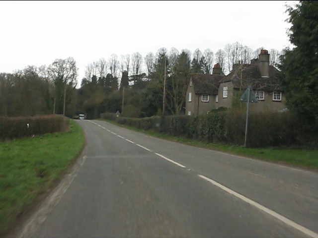
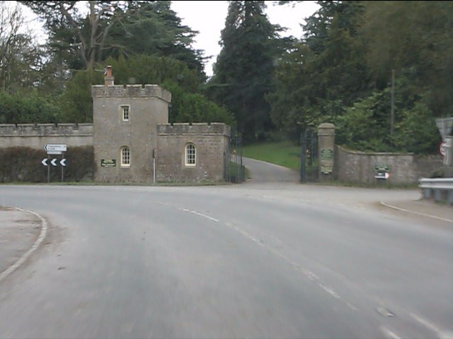
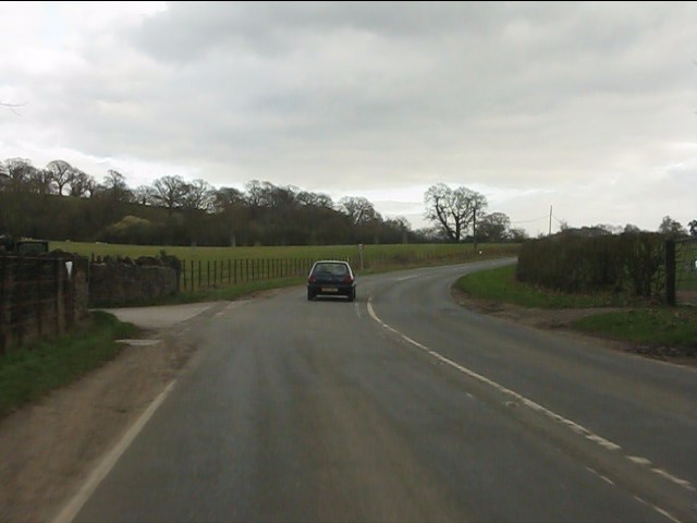
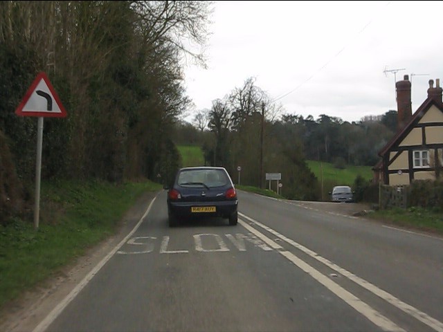
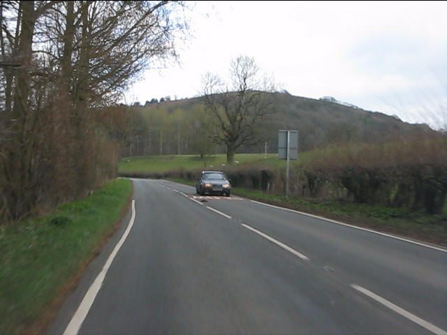
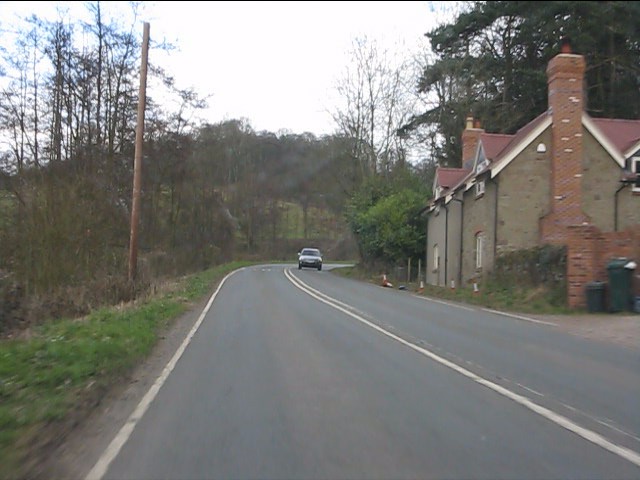
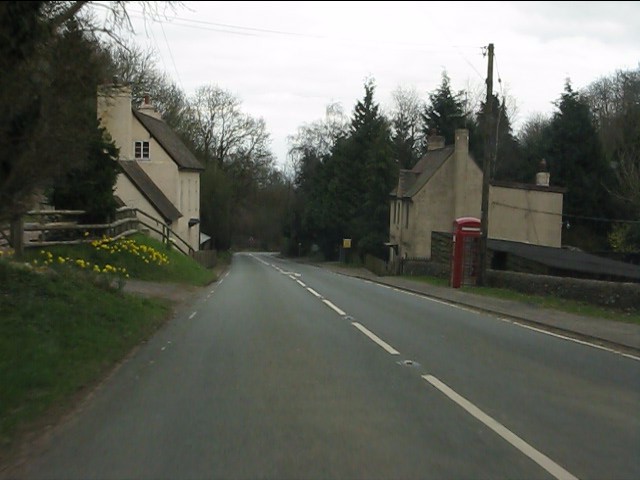
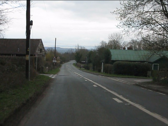
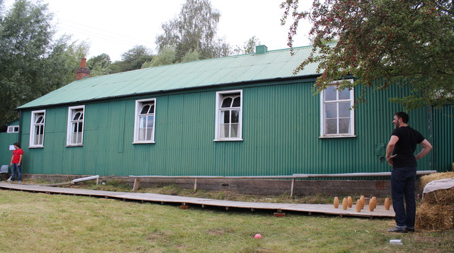
Simball Wood Images

Images are sourced within 2km of 52.031426/-2.3653097 or Grid Reference SO7537. Thanks to Geograph Open Source API. All images are credited.

A438 at Eastnor
A438 at Eastnor
Eastnor Castle Gateway
A438 near Eastnor Castle
A449 at Wayend Street
Hollybush Hill from the A438
Roadside cottages near Hollybush
A438 at Hollybush
A438 at Hollybush
Hollybush crossroads, A438
Hollybush Hill It can be quite hard to imagine that 2000 years ago this quiet spot was part of a busy town - the Midsummer Hill iron-age hill-fort. 
Excavations in the late 1960s by Stan Stanford showed the area full of small building plots. 
Each plot had been reused time and time again over the centuries suggesting continuous occupation. 
The buildings used four posts arranged in a square - not at all like the round huts usually depicted for this era.
Evidence for similar square buildings have been found in other so called "hill-forts" in Herefordshire and the Welsh Marches
Hollybush Hill
It can be quite hard to imagine that 2000 years ago this quiet spot was part of a busy town - the Midsummer Hill iron-age hill-fort. Excavations in the late 1960s by Stan Stanford showed the area full of small building plots. Each plot had been reused time and time again over the centuries suggesting continuous occupation. The buildings used four posts arranged in a square - not at all like the round huts usually depicted for this era. Evidence for similar square buildings have been found in other so called "hill-forts" in Herefordshire and the Welsh Marches
North gate of Midsummer Hill iron-age  hill-fort Looking north along the Malvern Hills.
Another hill-fort occupies Herefordshire Beacon on the left.
Straight ahead are three overlapping peaks of Pinnacle Hill (north and south) and Black Hill.
In the far distance one can just make out Worcestershire Beacon in the haze.
North gate of Midsummer Hill iron-age hill-fort
Looking north along the Malvern Hills. Another hill-fort occupies Herefordshire Beacon on the left. Straight ahead are three overlapping peaks of Pinnacle Hill (north and south) and Black Hill. In the far distance one can just make out Worcestershire Beacon in the haze.
The shelter on Midsummer Hill The shelter was built by the owners of Eastnor Castle and the hill.
In 1923 the hill was given to the National Trust in memory of Captain Reginald Somers Cocks, MC who died in the first world war.
The shelter on Midsummer Hill
The shelter was built by the owners of Eastnor Castle and the hill. In 1923 the hill was given to the National Trust in memory of Captain Reginald Somers Cocks, MC who died in the first world war.
Hillfort ditch on Midsummer Hill Looking north-west from Midsummer Hill with the Somers Obelisk on the left and Peacock Villa on the right. A commanding view across the countryside as autumn takes a grip. The ditch just below runs around the complete top of Midsummer Hill and Hollybush Hill to enclose a large area. Less well-known than its neighbour the Hereford Beacon, but may well have been just as important in the Iron Age.
Hillfort ditch on Midsummer Hill
Looking north-west from Midsummer Hill with the Somers Obelisk on the left and Peacock Villa on the right. A commanding view across the countryside as autumn takes a grip. The ditch just below runs around the complete top of Midsummer Hill and Hollybush Hill to enclose a large area. Less well-known than its neighbour the Hereford Beacon, but may well have been just as important in the Iron Age.
The obelisk from Midsummer Hill From Midsummer Hill looking west across Eastnor Park to Frith Hill above Ledbury.
The obelisk from Midsummer Hill
From Midsummer Hill looking west across Eastnor Park to Frith Hill above Ledbury.
Red Deer in Eastnor Park View north-east towards a group of deer foraging amongst the bracken. Around 200 deer roam the large area of parkland.
Red Deer in Eastnor Park
View north-east towards a group of deer foraging amongst the bracken. Around 200 deer roam the large area of parkland.
Big Chill 2011, Eastnor Deer Park Viewed from British Camp on the Malvern Hills in the week preceding the weekend musical festival.
Eastnor Castle is visible on the left and in the lower right-hand corner are Netherton Cottages.
Big Chill 2011, Eastnor Deer Park
Viewed from British Camp on the Malvern Hills in the week preceding the weekend musical festival. Eastnor Castle is visible on the left and in the lower right-hand corner are Netherton Cottages.
Big Chill 2011, Eastnor Deer Park On the Friday morning, yet still more vehicles arriving.
Big Chill 2011, Eastnor Deer Park
On the Friday morning, yet still more vehicles arriving.
Hollybush Fete, Hollybush Church Hall, 2011 An auction of donated items too good for the bric-a-brac stall is taking place.
On the other side of the hall the skittles competition was taking place.
On this side books, CDs, a raffle.
Inside the hall, Cakes, jams, produce (I bought a box of quinces for £1!) clothes, and the bric-a-brac stall.
Scrummy cakes and cups of tea served in the adjoining room.
Hollybush Fete, Hollybush Church Hall, 2011
An auction of donated items too good for the bric-a-brac stall is taking place. On the other side of the hall the skittles competition was taking place. On this side books, CDs, a raffle. Inside the hall, Cakes, jams, produce (I bought a box of quinces for £1!) clothes, and the bric-a-brac stall. Scrummy cakes and cups of tea served in the adjoining room.
Skittles, Hollybush village fete, 2011 At the back of the church hall.
The ball return guttering is still working despite slowly deteriorating over the decades.
Skittles, Hollybush village fete, 2011
At the back of the church hall. The ball return guttering is still working despite slowly deteriorating over the decades.
Show me another place!

Simball Wood is located at Grid Ref: SO7537 (Lat: 52.031426, Lng: -2.3653097)

Unitary Authority: County of Herefordshire

Police Authority: West Mercia

What 3 Words

///dote.frail.iceberg. Near Ledbury, Herefordshire

Related Wikis

Bronsil Castle

Bronsil Castle was a fortified manor house about 1 mile (1.6 km) to the east of Eastnor in Herefordshire, England near Ledbury). It is a Grade II* listed...
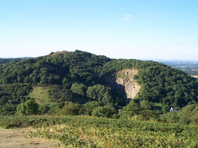
Midsummer Hill

Midsummer Hill is situated in the range of Malvern Hills that runs approximately 13 kilometres (8 mi) north-south along the Herefordshire-Worcestershire...

Hollybush Hill

Hollybush Hill is situated in the range of Malvern Hills that runs approximately 13 kilometres (8 mi) north–south along the Herefordshire–Worcestershire...

Mountain Mayhem

Mountain Mayhem is a 24-hour mountain bike race held in the UK. It has been held annually since 1998 and usually occurs on the weekend nearest to midsummer...

Nearby Amenities

Located within 500m of 52.031426,-2.3653097
Bronsil
Place: hamlet
Source: OS 1:25k
Lat/Long: 52.0331678/-2.368655
Natural: spring
Source: OS 1:25k
Lat/Long: 52.0313329/-2.3594068
Bronsil
Power: pole
Transformer: distribution
Voltage Primary: 11000
Lat/Long: 52.0338629/-2.367614
Power: pole
Lat/Long: 52.0337474/-2.3669784
Power: pole
Lat/Long: 52.0335395/-2.3657124
Power: pole
Lat/Long: 52.0332726/-2.364284
Power: pole
Lat/Long: 52.0326055/-2.3638643
Power: pole
Lat/Long: 52.0309388/-2.3628236
Power: pole
Lat/Long: 52.0304933/-2.3618419
Upper House Farm Eastnor
Power: pole
Transformer: distribution
Voltage Primary: 11000
Lat/Long: 52.0298988/-2.3605451
Power: pole
Lat/Long: 52.0298633/-2.3593166
Power: pole
Lat/Long: 52.0296175/-2.3594829
Power: pole
Lat/Long: 52.0287874/-2.3601052
Power: pole
Lat/Long: 52.0318489/-2.3633815
Beacon Farm
Power: pole
Transformer: distribution
Voltage Primary: 11000
Lat/Long: 52.0290097/-2.3700515
Power: pole
Lat/Long: 52.0288022/-2.3703063
Power: pole
Lat/Long: 52.0285918/-2.3705947
The data included in this document is from www.openstreetmap.org. The data is made available under ODbL.

Have you been to Simball Wood?

Leave your review of Simball Wood below (or comments, questions and feedback).