Shaw Green Willows

Downs, Moorland in Cheshire

England

Shaw Green Willows

Home Farm, Tatton Park A working farm, open to the public as part of the National Trust's Tatton Park.
Home Farm, Tatton Park Credit: Rich Daley

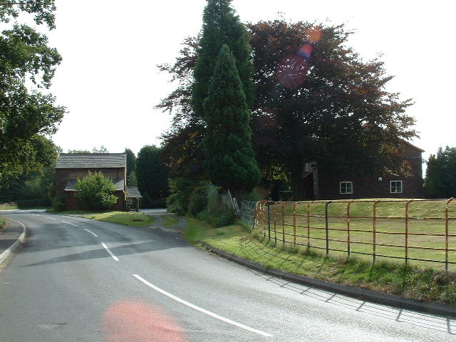
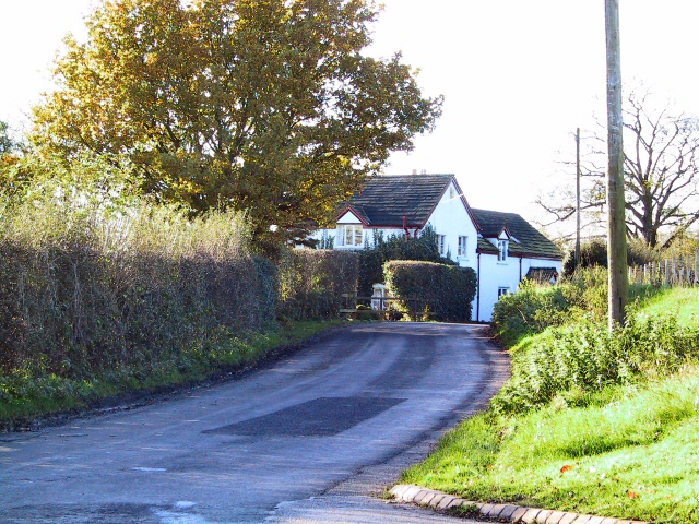
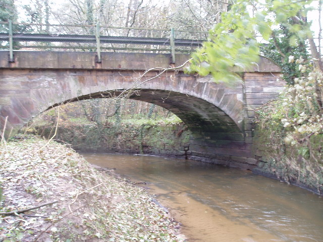
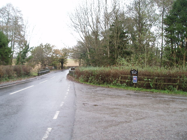
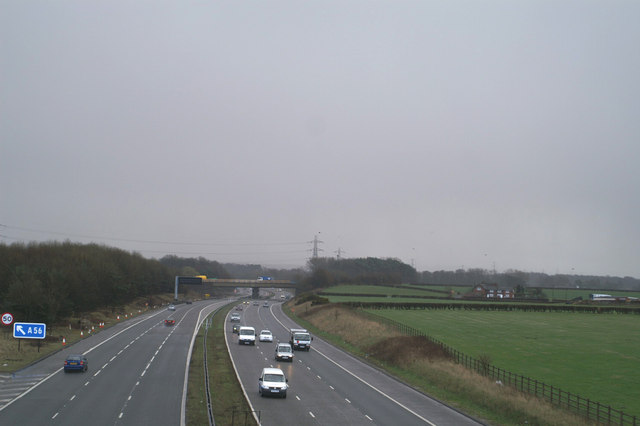
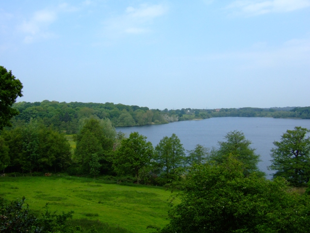
Shaw Green Willows is a picturesque rural area situated in Cheshire, England. The region is known for its lush green landscape, encompassing downs and moorland, making it a popular destination for nature enthusiasts and outdoor adventurers.

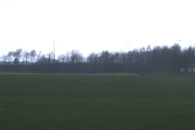
The downs of Shaw Green Willows present rolling hills covered in vibrant green grass, offering breathtaking panoramic views of the surrounding countryside. The area is dotted with ancient trees, providing a serene ambiance and a perfect spot for a relaxing picnic or a leisurely stroll. The downs also offer ample opportunities for outdoor activities like hiking and birdwatching, with a variety of bird species calling the area home.

Adjacent to the downs, the moorland of Shaw Green Willows showcases a different aspect of the region's natural beauty. The moorland features vast expanses of heather and gorse, creating a striking purple and yellow landscape during the blooming season. It is a habitat for a diverse range of flora and fauna, including various species of birds, insects, and small mammals.

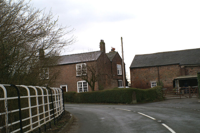
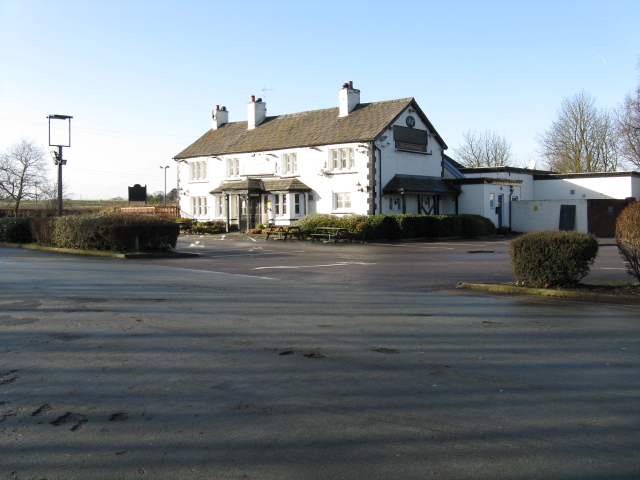
Apart from its natural charm, Shaw Green Willows is also home to several charming villages and hamlets, where visitors can experience the authentic rural lifestyle of Cheshire. These settlements offer quaint cottages, traditional pubs, and local shops, providing a glimpse into the area's rich history and culture.

In conclusion, Shaw Green Willows in Cheshire, with its downs and moorland, offers a captivating natural environment and a slice of idyllic countryside life. Whether exploring the rolling hills or immersing oneself in the beauty of the moorland, visitors are sure to find solace and tranquility in this charming corner of England.

If you have any feedback on the listing, please let us know in the comments section below.

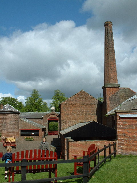
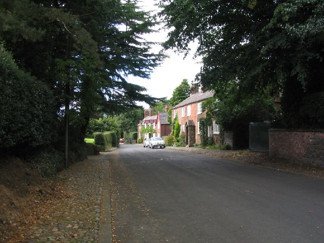
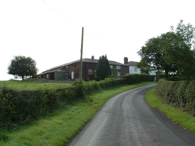
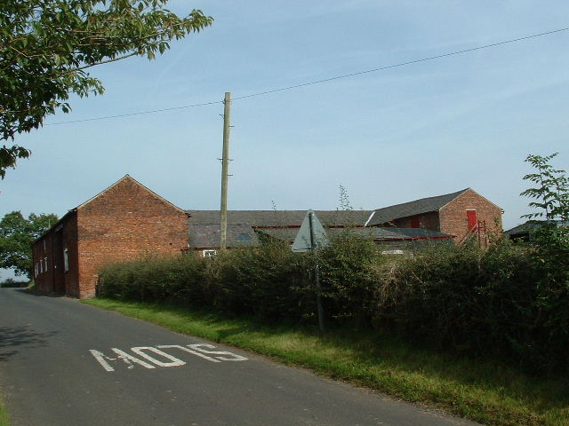
Shaw Green Willows Images

Images are sourced within 2km of 53.351545/-2.3762949 or Grid Reference SJ7583. Thanks to Geograph Open Source API. All images are credited.

Home Farm, Tatton Park A working farm, open to the public as part of the National Trust's Tatton Park.
Home Farm, Tatton Park
A working farm, open to the public as part of the National Trust's Tatton Park.
Parish church of St. Mary This view of the church was taken from SJ742836 looking east.
Parish church of St. Mary
This view of the church was taken from SJ742836 looking east.
Rostherne village This image was taken looking Northish through the village of Rostherne, stood at SJ743833.
Rostherne village
This image was taken looking Northish through the village of Rostherne, stood at SJ743833.
Shaw Green Farm From the North
Shaw Green Farm
From the North
Rostherne Mere Looking South over the lake (note tower of Rostherne village church <a href="https://www.geograph.org.uk/gridref/SJ7483">SJ7483</a>visible on RHS)
Rostherne Mere
Looking South over the lake (note tower of Rostherne village church SJ7483visible on RHS)
Briddon Weir Farm Looking NW up the lane
Briddon Weir Farm
Looking NW up the lane
Birkin Farm Near the southern edge of the square
Birkin Farm
Near the southern edge of the square
Mereside Cottage Viewed from the gates of Cherrytree Farm on Dirty Lane, this cottage is on the corner of the lane where it joins the A556
Mereside Cottage
Viewed from the gates of Cherrytree Farm on Dirty Lane, this cottage is on the corner of the lane where it joins the A556
Fishing by Cicely Mill These meres were not in existence according to the 1940's OS map, and must have been artificially created in the interim. Bordering on Cicely Lane near Rostherne, they are a popular spot for anglers.
Fishing by Cicely Mill
These meres were not in existence according to the 1940's OS map, and must have been artificially created in the interim. Bordering on Cicely Lane near Rostherne, they are a popular spot for anglers.
The Ashley road bridge over the Birkin Brook It looks more like a river here!! (Having been joined by the Tatton Mere Brook, Mobberley Brook & Sugar Brook all within SJ7638)
The Ashley road bridge over the Birkin Brook
It looks more like a river here!! (Having been joined by the Tatton Mere Brook, Mobberley Brook & Sugar Brook all within SJ7638)
Ashley road bridge (Over the Birkin Brook) Looking north towards Ashley , the turning to the right is to Birtles Farm
Ashley road bridge (Over the Birkin Brook)
Looking north towards Ashley , the turning to the right is to Birtles Farm
If the Romans could see it now The A560, Watling Street, raised on an embankment to clear the M56
If the Romans could see it now
The A560, Watling Street, raised on an embankment to clear the M56
Headlight code Wet and gloomy view eastwards on the M56
Headlight code
Wet and gloomy view eastwards on the M56
Bowgreen Farm, Bow Lane, Bowdon
St Mary, Rostherne The parish church for the Tatton Estate village of Rostherne. The churchyard is slightly strange because all of the old memorials near to the church have been laid flat making it look a bit like a car park!
St Mary, Rostherne
The parish church for the Tatton Estate village of Rostherne. The churchyard is slightly strange because all of the old memorials near to the church have been laid flat making it look a bit like a car park!
Rostherne Mere National Nature Reserve The reserve is a mere with adjacent ancient semi-natural woodland. Access is by permit only.
Rostherne Mere National Nature Reserve
The reserve is a mere with adjacent ancient semi-natural woodland. Access is by permit only.
Marooned pub Formerly alongside the main road from Manchester-Northwich, the advent of the M56 in the 1970s left the pub isolated on a spur from the new A556 bridge.
Marooned pub
Formerly alongside the main road from Manchester-Northwich, the advent of the M56 in the 1970s left the pub isolated on a spur from the new A556 bridge.
The old A556 The former carriageway of the A556 where it is cut by the M56 motorway.  Careful examination of the surface suggests that this was one of the 3-lane stretches of road with a central, bi-directional overtaking lane. Much favoured in the 1950s for major roads, the central lane was also known as "the suicide lane" in the increased traffic of the late 1960s.
The old A556
The former carriageway of the A556 where it is cut by the M56 motorway. Careful examination of the surface suggests that this was one of the 3-lane stretches of road with a central, bi-directional overtaking lane. Much favoured in the 1950s for major roads, the central lane was also known as "the suicide lane" in the increased traffic of the late 1960s.
Show me another place!

Shaw Green Willows is located at Grid Ref: SJ7583 (Lat: 53.351545, Lng: -2.3762949)

Unitary Authority: Cheshire East

Police Authority: Cheshire

What 3 Words

///hospitals.masses.battle. Near Bowdon, Manchester

Related Wikis

Rostherne

Rostherne is a village and former civil parish, now in the parish of Millington and Rostherne, in the unitary authority area of Cheshire East and the ceremonial...

Rostherne Mere

Rostherne Mere is a natural lake in Cheshire, England. It is the largest of the Cheshire meres with an area of 48 hectares (120 acres) and a maximum depth...

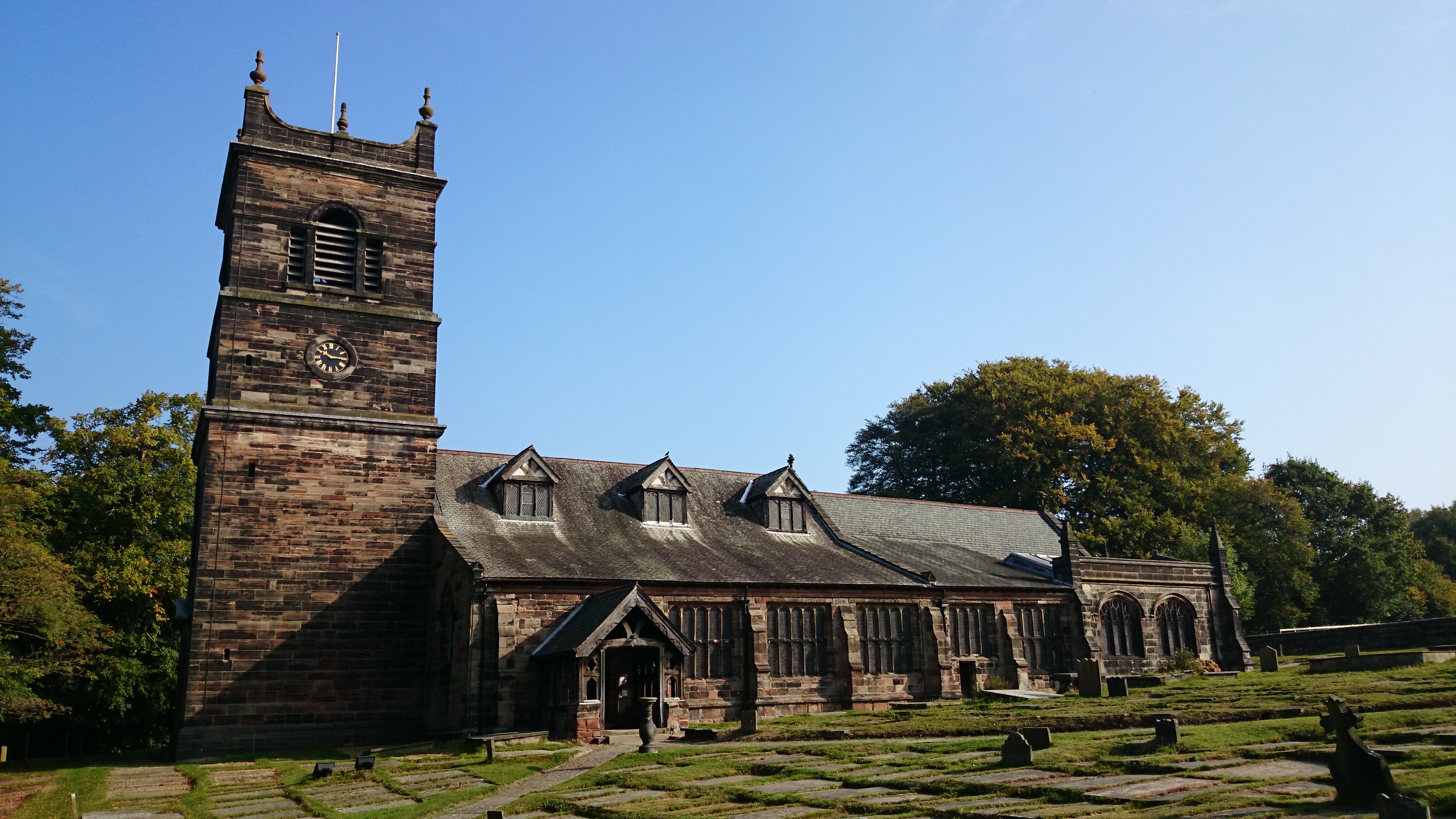
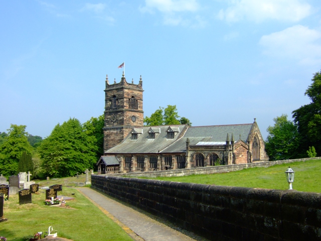
St Mary's Church, Rostherne

St Mary's Church lies between the village of Rostherne and Rostherne Mere in Cheshire, England. The church is recorded in the National Heritage List for...

Bucklow Hill

Bucklow Hill is a village in Cheshire, England whose name originates from a slight rise in the road. It is part of the civil parish of Mere and is located...

Ashley Hall, Cheshire

Ashley Hall is a country house standing to the north of the village of Ashley, Cheshire, England. It dates from the late 16th to the early 17th century...

Watch Hill Castle

Watch Hill Castle (also known as Yarwood Castle, Castle Hill, and Bowdon Watch) is a medieval motte-and-bailey on the boundary of Bowdon and Dunham Massey...

St Elizabeth's Church, Ashley

St Elizabeth's Church is on Ashley Road in the village of Ashley, Cheshire, England. It is an active Anglican parish church in the deanery of Bowdon,...

Millington, Cheshire

Millington is a former civil parish, now in the parishes of Millington and Rostherne and Little Bollington with Agden, in the Cheshire East district, in...

Nearby Amenities

Located within 500m of 53.351545,-2.3762949
The data included in this document is from www.openstreetmap.org. The data is made available under ODbL.

Have you been to Shaw Green Willows?

Leave your review of Shaw Green Willows below (or comments, questions and feedback).