Braes of Little Colp

Downs, Moorland in Aberdeenshire

Scotland

Braes of Little Colp

Woodland Walk A track beside the woodland edge at Delgaty.
Woodland Walk Credit: Andrew Wood

Braes of Little Colp is a picturesque area located in Aberdeenshire, Scotland. Situated amidst rolling hills and vast moorlands, it offers breathtaking views and a serene environment. The region is characterized by its rugged and untouched natural beauty, making it a popular destination for nature enthusiasts and hikers.

The braes, or hillsides, of Little Colp are covered in heather and gorse, creating a vibrant and colorful landscape, especially in the summer months when the wildflowers are in full bloom. The area is also known for its diverse wildlife, including various bird species, such as curlews, lapwings, and golden eagles, as well as occasional sightings of red deer and mountain hares.

The moorland surrounding the braes is a vast expanse of open land, consisting of heath and grasses. It provides a unique habitat for a range of plant and animal species that thrive in this environment. The moorland is also home to several small lochs, which add to the beauty of the area and attract birdwatchers and fishing enthusiasts.

In addition to its natural attractions, Braes of Little Colp offers numerous walking trails and paths, allowing visitors to explore the area at their own pace. These paths provide breathtaking views of the surrounding countryside and are suitable for both leisurely strolls and more challenging hikes.

Overall, Braes of Little Colp in Aberdeenshire is a haven for those seeking tranquility and a connection with nature. Its stunning landscape, abundant wildlife, and well-maintained walking trails make it an ideal destination for anyone looking to immerse themselves in the beauty of the Scottish countryside.

If you have any feedback on the listing, please let us know in the comments section below.

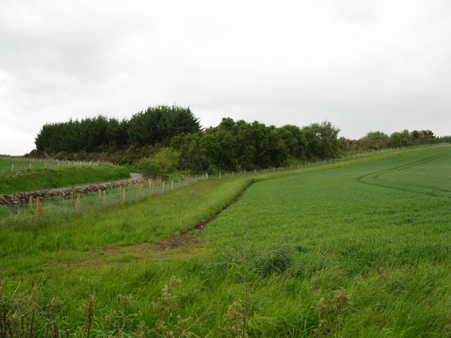
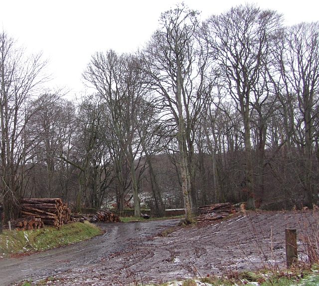
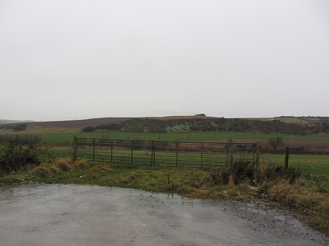
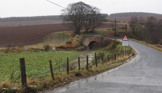
Braes of Little Colp Images

Images are sourced within 2km of 57.524051/-2.418248 or Grid Reference NJ7548. Thanks to Geograph Open Source API. All images are credited.

Woodland Walk A track beside the woodland edge at Delgaty.
Woodland Walk
A track beside the woodland edge at Delgaty.
Barley to the Idoch Looking down from the edge of the Wood of Delgaty, barley fields stretching down to the Idoch Water.
Barley to the Idoch
Looking down from the edge of the Wood of Delgaty, barley fields stretching down to the Idoch Water.
Ardin Track A field access track at Ardin with the Wood of Delgaty on the left.
Ardin Track
A field access track at Ardin with the Wood of Delgaty on the left.
Path North A path leading north into the Wood of Delgaty.
Path North
A path leading north into the Wood of Delgaty.
Trout Lake A trout lake by Delgaty with farmland and more woodland beyond.
Trout Lake
A trout lake by Delgaty with farmland and more woodland beyond.
New pond A new pond by the Burn of Colp not shown on the OS map.
New pond
A new pond by the Burn of Colp not shown on the OS map.
Delgaty and Colp valley The valley containing the Burn of Delgaty and the Burn of Colp.
Delgaty and Colp valley
The valley containing the Burn of Delgaty and the Burn of Colp.
Site of the Ardin Quarry The quarry, long since disused and subsequently used as a tip for "pulverised waste", is now surrounded by mature trees.
Site of the Ardin Quarry
The quarry, long since disused and subsequently used as a tip for "pulverised waste", is now surrounded by mature trees.
Idoch Water View of the river from the B9170 road bridge.
Idoch Water
View of the river from the B9170 road bridge.
Banff, Macduff and Turriff Junction Railway The trackbed of the Banff, Macduff and Turriff Junction Railway runs through beech woods on a parallel course to the A947 south of Turriff.
Banff, Macduff and Turriff Junction Railway
The trackbed of the Banff, Macduff and Turriff Junction Railway runs through beech woods on a parallel course to the A947 south of Turriff.
Logs, Crow Wood Piles of logs on the edge of Crow Wood, Hatton Castle Estate.
Logs, Crow Wood
Piles of logs on the edge of Crow Wood, Hatton Castle Estate.
Thawing fields Thawing of frost and snow is probably the most miserable of water. Latent heat of fusion takes its toll on air temperatures and the cooling forms fogs. Melting snow becomes very slippery ice and it's usually raining, just like today. View across a sodden field towards Wood of Colp.
Thawing fields
Thawing of frost and snow is probably the most miserable of water. Latent heat of fusion takes its toll on air temperatures and the cooling forms fogs. Melting snow becomes very slippery ice and it's usually raining, just like today. View across a sodden field towards Wood of Colp.
Big gates near Quarryhill Big combines need big gates. Faffing around with tripods and long exposures meant that I needed safe pull offs from the road. This entrance to a field was metalled and very convenient.
I was here in Summer 2011, and it rained then too, more light though.
Big gates near Quarryhill
Big combines need big gates. Faffing around with tripods and long exposures meant that I needed safe pull offs from the road. This entrance to a field was metalled and very convenient. I was here in Summer 2011, and it rained then too, more light though.
Bridge over the Idoch Water The B9170 crosses the Idoch Water. Taken on a foul morning.
Bridge over the Idoch Water
The B9170 crosses the Idoch Water. Taken on a foul morning.
Idoch Haugh Round hay bales on a typical haugh, beside the Idoch Water.
Idoch Haugh
Round hay bales on a typical haugh, beside the Idoch Water.
Wood of Delgaty Logging road in conifer plantation. There are some waymarked walks here.
Wood of Delgaty
Logging road in conifer plantation. There are some waymarked walks here.
Hill of Colp There is an ostrich in the foreground.
Hill of Colp
There is an ostrich in the foreground.
Hill of Colp Ripening barley with hay bales in the background.
Hill of Colp
Ripening barley with hay bales in the background.
Show me another place!

Braes of Little Colp is located at Grid Ref: NJ7548 (Lat: 57.524051, Lng: -2.418248)

Unitary Authority: Aberdeenshire

Police Authority: North East

What 3 Words

///ushering.repelled.spooked. Near Turriff, Aberdeenshire

Related Wikis

Nearby Amenities

Located within 500m of 57.524051,-2.418248
Mill of Colp
Place: locality
Lat/Long: 57.5203928/-2.4209781
Power: pole
Lat/Long: 57.525611/-2.4109948
Power: pole
Lat/Long: 57.5254132/-2.4120207
Power: pole
Lat/Long: 57.5251644/-2.4132348
Power: pole
Lat/Long: 57.5250362/-2.4143477
Power: pole
Lat/Long: 57.5247146/-2.4154849
Power: pole
Lat/Long: 57.5245484/-2.4167112
Power: pole
Lat/Long: 57.5242882/-2.4178119
Power: pole
Lat/Long: 57.5239644/-2.4189228
Power: pole
Lat/Long: 57.52367/-2.4200175
Power: pole
Lat/Long: 57.5232756/-2.4210616
Power: pole
Lat/Long: 57.522979/-2.4218225
Power: pole
Lat/Long: 57.5225769/-2.4227978
Power: pole
Lat/Long: 57.5223173/-2.4231984
Power: pole
Lat/Long: 57.5221956/-2.4234028
Power: pole
Lat/Long: 57.5230029/-2.4237184
Power: pole
Lat/Long: 57.5234146/-2.4246331
Power: pole
Lat/Long: 57.5239106/-2.4256671
Power: pole
Lat/Long: 57.5281467/-2.4186294
Power: pole
Lat/Long: 57.5277012/-2.4177047
Power: pole
Lat/Long: 57.5272406/-2.4167739
Power: pole
Lat/Long: 57.5267658/-2.4161749
Power: pole
Lat/Long: 57.5262172/-2.4154748
Power: pole
Lat/Long: 57.5256121/-2.4149062
Power: pole
Lat/Long: 57.5244897/-2.413591
Power: pole
Lat/Long: 57.5240225/-2.4129434
Power: pole
Lat/Long: 57.5234152/-2.4121098
Power: pole
Lat/Long: 57.5228469/-2.4113611
Power: pole
Lat/Long: 57.5222874/-2.4106266
Power: pole
Lat/Long: 57.5212892/-2.4213307
Power: pole
Lat/Long: 57.5214808/-2.4215439
The data included in this document is from www.openstreetmap.org. The data is made available under ODbL.

Have you been to Braes of Little Colp?

Leave your review of Braes of Little Colp below (or comments, questions and feedback).