Rock Common
Downs, Moorland in Worcestershire Wyre Forest
England
Rock Common

Rock Common is a picturesque area located in Worcestershire, England. Nestled among the undulating landscape of the countryside, it encompasses both downs and moorland, offering a diverse and captivating natural environment.
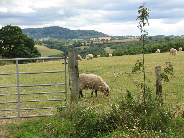
The downs of Rock Common are characterized by gently rolling hills covered in lush grasses and scattered patches of vibrant wildflowers. These open spaces provide an ideal habitat for a variety of wildlife, including rabbits, hares, and numerous species of birds. The views from the downs are breathtaking, offering panoramic vistas of the surrounding countryside and distant hills.
Moving towards the moorland, the landscape transforms into a more rugged and wild terrain. Here, visitors can explore vast expanses of heather-covered moors, interspersed with patches of gorse and bracken. The moorland is home to a rich array of plant and animal species, including rare orchids, curlews, and skylarks.
Rock Common is a haven for outdoor enthusiasts, offering ample opportunities for walking, hiking, and birdwatching. The area is crisscrossed by a network of well-maintained footpaths and trails, allowing visitors to explore its natural beauty at their own pace. The serene atmosphere and tranquil surroundings make it an ideal destination for those seeking solace and connection with nature.
Overall, Rock Common in Worcestershire is a captivating blend of downs and moorland, offering a diverse range of natural landscapes and abundant wildlife. Whether it's admiring the panoramic views from the downs or exploring the rugged beauty of the moorland, this area is a true gem for nature lovers.
If you have any feedback on the listing, please let us know in the comments section below.
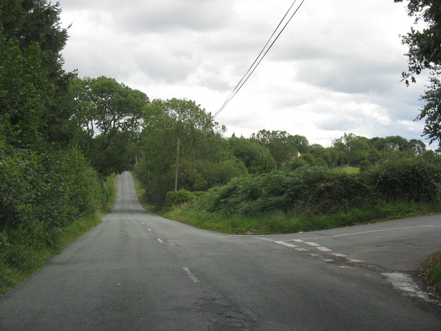
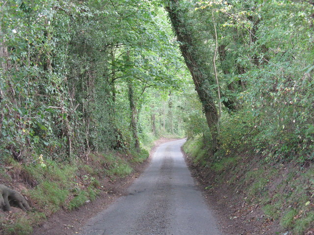
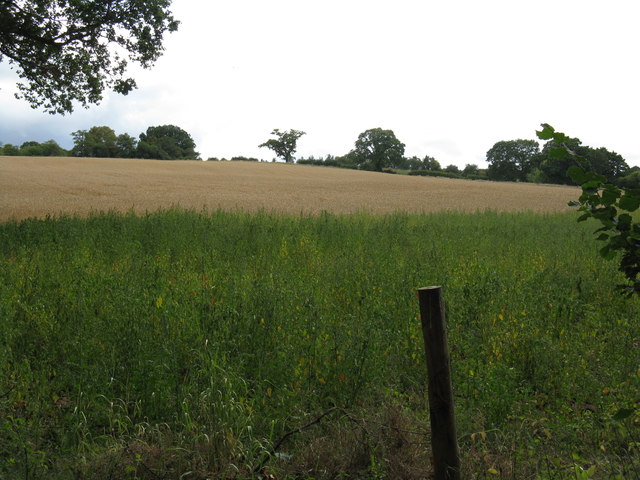
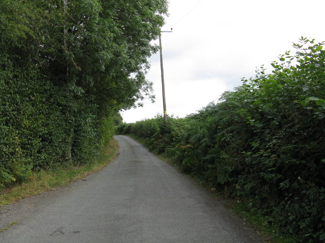
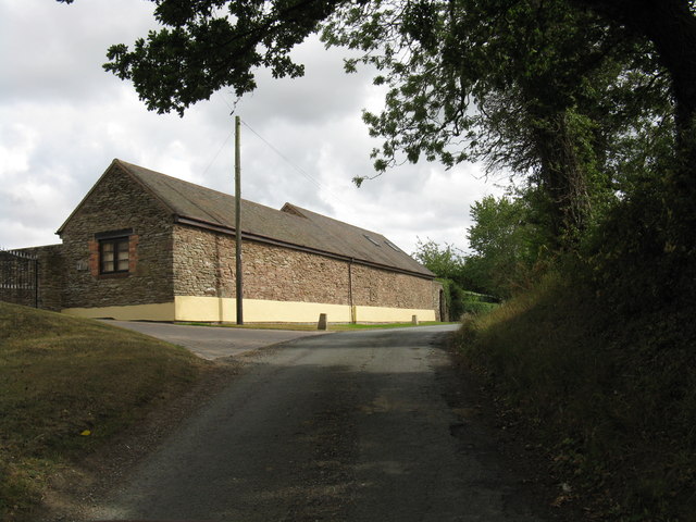
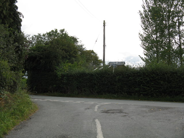
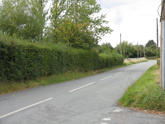
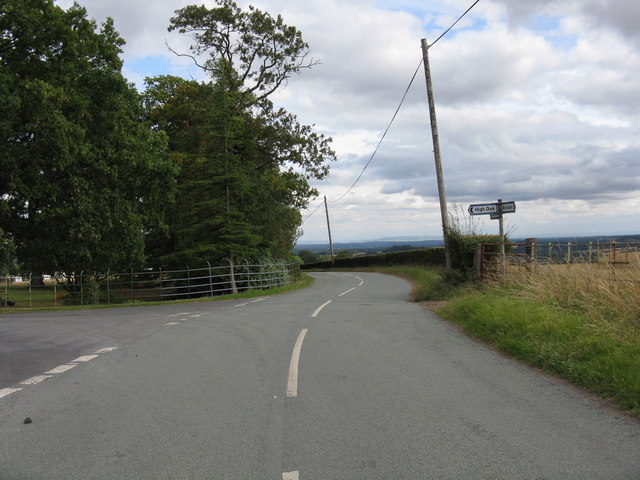
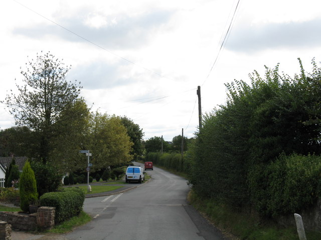
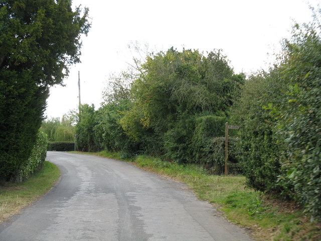
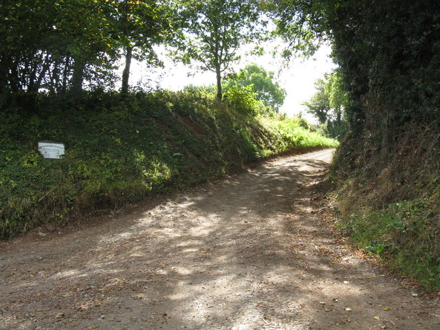
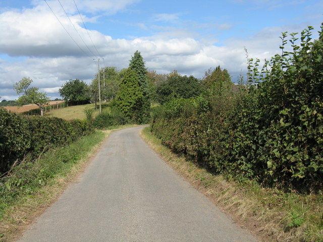
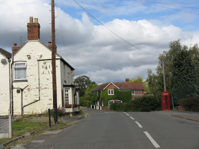
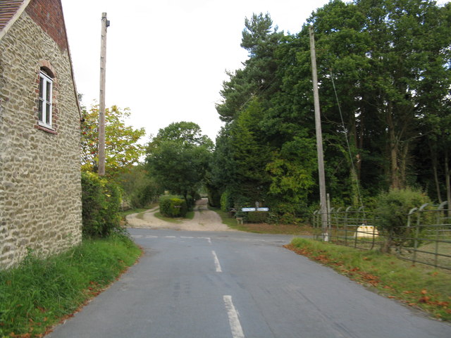
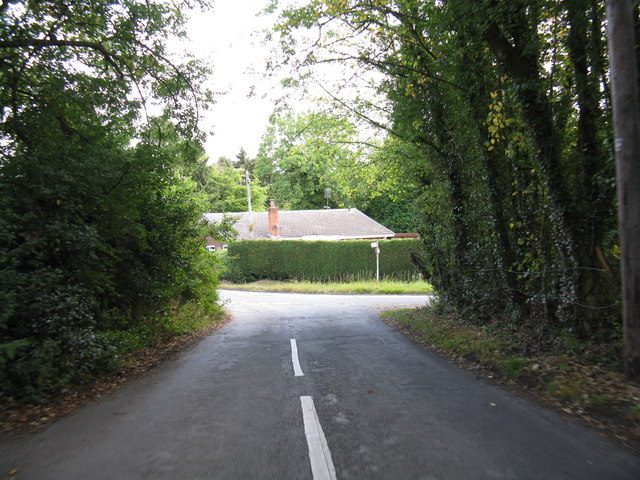
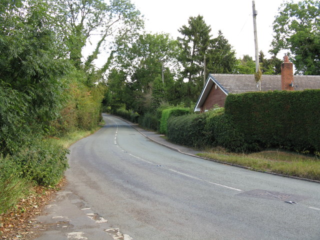
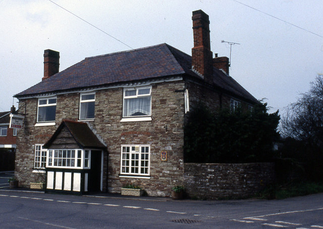
Rock Common Images
Images are sourced within 2km of 52.346202/-2.3674749 or Grid Reference SO7572. Thanks to Geograph Open Source API. All images are credited.
Rock Common is located at Grid Ref: SO7572 (Lat: 52.346202, Lng: -2.3674749)
Administrative County: Worcestershire
District: Wyre Forest
Police Authority: West Mercia
What 3 Words
///tuxedos.bars.stolen. Near Bewdley, Worcestershire
Nearby Locations
Related Wikis

Bliss Gate
Bliss Gate is a small village in Worcestershire, England. It had many attractive tourist landmarks such as the Bliss Gate Inn (now closed) and a village...
Rock, Worcestershire
Rock is a village and civil parish in the Wyre Forest District of Worcestershire, England, which lies south-west of Bewdley. It had a population of 2,366...

Heightington
Heightington is a small village in Worcestershire, England. It lies a little to the south-west of Bewdley and a little to the west of Stourport-on-Severn...

Rock moated site and medieval village
Rock moated site and medieval village is an archaeological site, including a deserted medieval village, in Worcestershire, England, near the village of...
Nearby Amenities
Located within 500m of 52.346202,-2.3674749Have you been to Rock Common?
Leave your review of Rock Common below (or comments, questions and feedback).