The Border Forest Park

Downs, Moorland in Northumberland

England

The Border Forest Park

Closed Picnic Area at Blackblakehope We started our walk from Blakehopeburnhaugh Picnic Area where there was actually two picnic tables.  We planned to stop at Blackblakehope Picnic Area close to the (Forest Drive) for lunch --- picnic tables to sit at avoiding the wet ground.  When we arrived there were no picnic tables and cars are prevented from entering the area due a mound of earth “dumped” close to what was the entrance.  
Last week we found we couldn’t drive to the Lewis Burn Picnic Area and when we walked past the barriers across the entrances were locked.  The reason for the closure was that the footbridge had been removed --- we’ve parked there several times over the years and not used the bridge because we were walking in a different direction.  This is a lovely spot where we’ve spent the day when my son was about six years old.  We even remember toilets being there.
I feel there’s another reason for both closures and that the “Kielder Water Authority” doesn’t want visitors exploring the areas away from Kielder Water.  This raises the question do the “Kielder Water Authority” just wants visitors drive along the Forest Drive without stopping and spending some time taking in the “breathtaking views”.  I strongly feel that the closure of both picnic areas is detrimental to the enjoyment of both areas.  I believe that the areas away from the “water” are far more interesting as well as thinking the construction of Kielder Water is one of the greatest acts of vandalism perpetrated in the North East.
Closed Picnic Area at Blackblakehope Credit: Les Hull

The Border Forest Park is a stunning natural reserve located in Northumberland, England. Stretching across the Downs and Moorland regions, this park is a haven for nature enthusiasts and outdoor adventurers alike. Covering an expansive area, it offers a diverse range of landscapes and ecosystems.

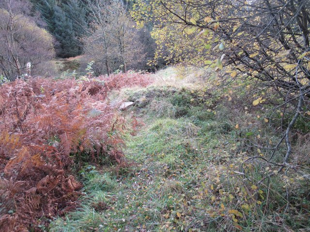
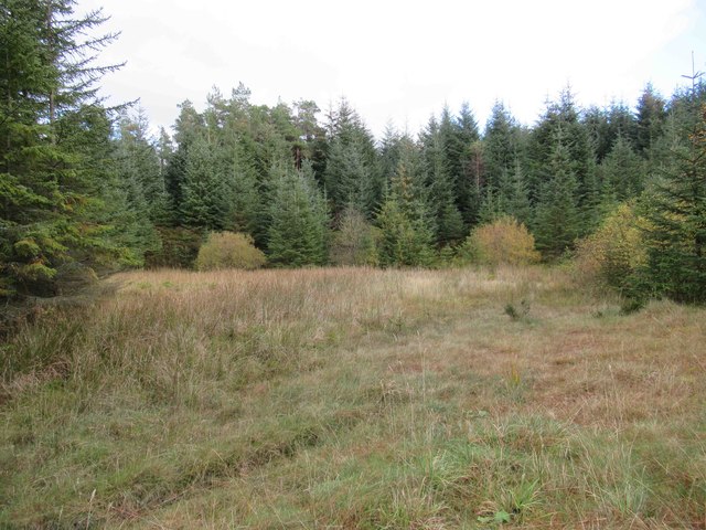
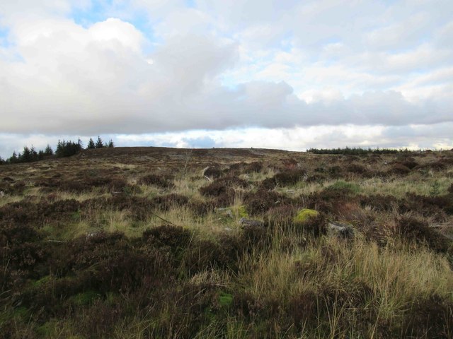
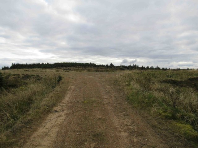
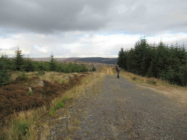
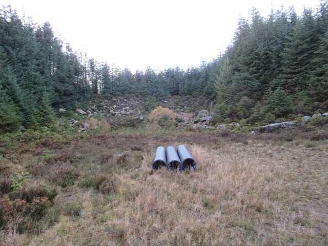
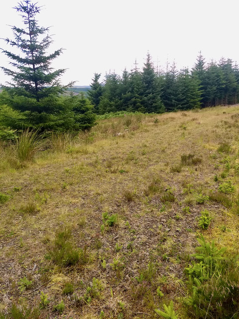
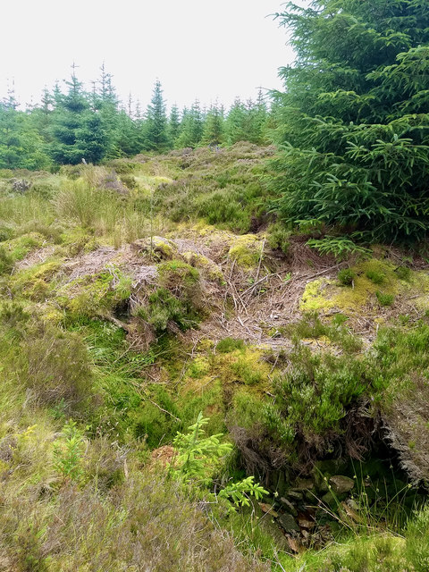
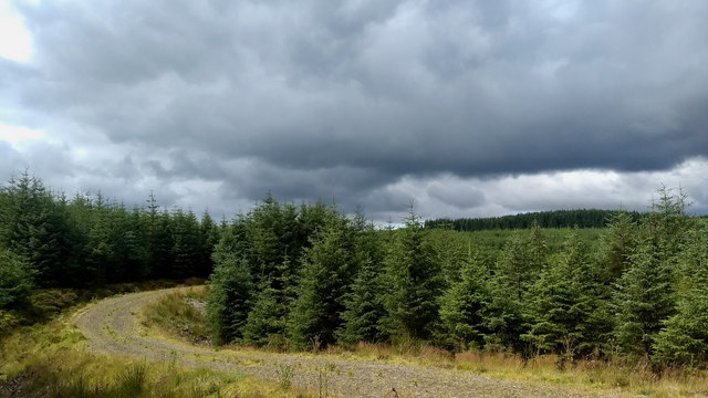
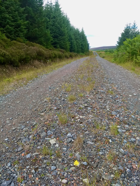
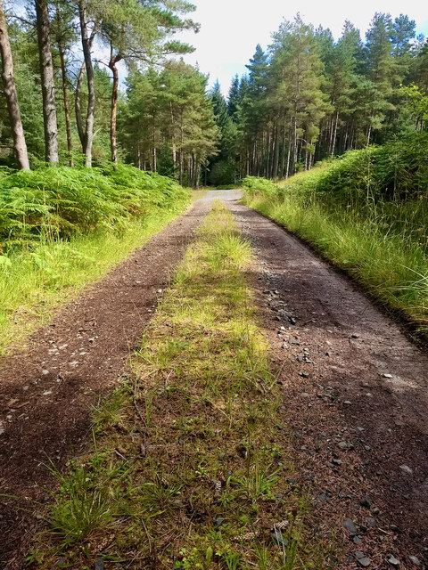
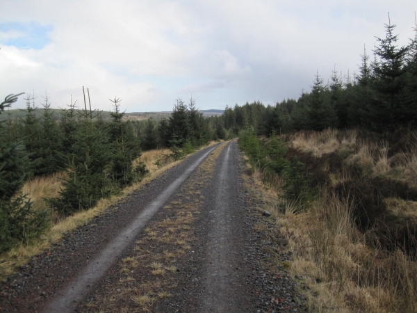
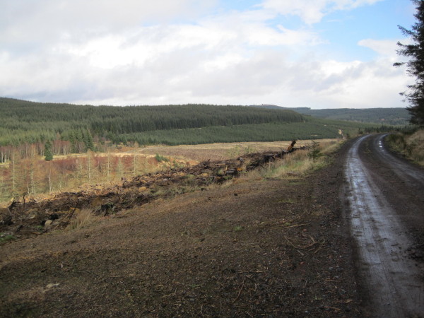
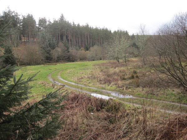
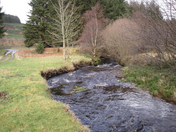
The park is characterized by its breathtaking views of rolling hills, dense woodlands, and picturesque rivers. Visitors can explore a network of well-maintained trails that allow them to immerse themselves in the park's pristine beauty. The Downs region is known for its open grasslands, where visitors can spot a variety of wildlife such as deer, foxes, and birds of prey. The Moorland region, on the other hand, showcases vast expanses of heather-covered hills and peat bogs, providing a unique habitat for rare plant species.

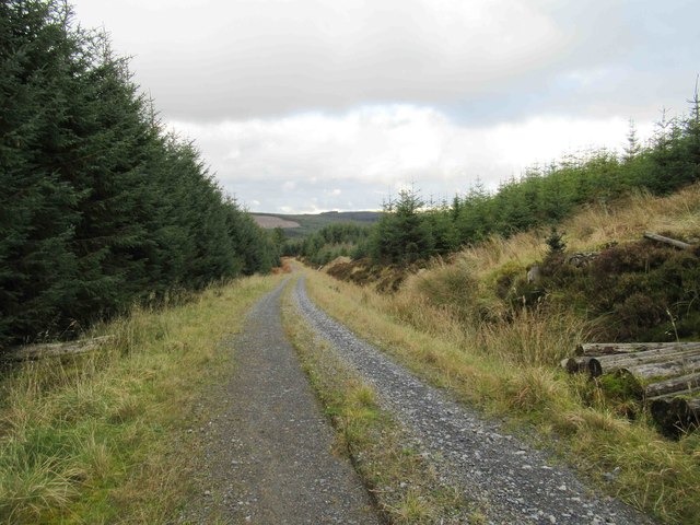
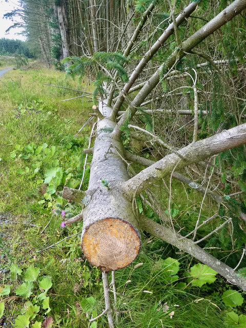
The Border Forest Park offers numerous recreational activities for visitors to enjoy. Hiking and walking are popular pursuits, with trails catering to all levels of fitness and experience. Additionally, the park provides opportunities for mountain biking, horseback riding, and even wild camping. For those seeking a more relaxed experience, there are designated picnic areas where visitors can unwind and soak in the tranquil surroundings.

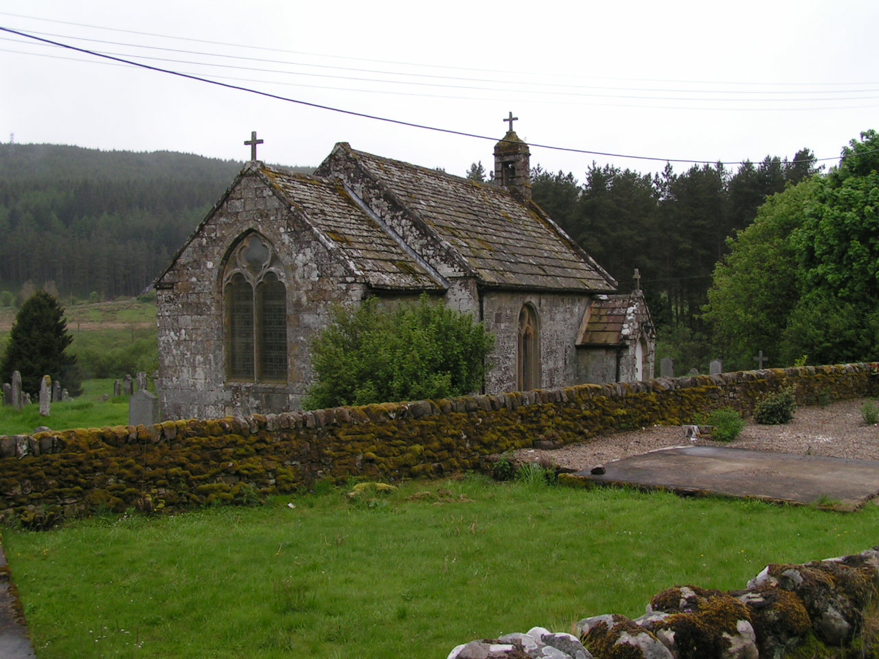
The park is also rich in history and culture, with remnants of ancient settlements and stone circles scattered throughout the landscape. Educational programs and guided tours are available to help visitors understand the area's heritage and its significance.

Overall, the Border Forest Park in Northumberland is a truly remarkable destination, offering a blend of natural beauty, recreational activities, and cultural exploration.

If you have any feedback on the listing, please let us know in the comments section below.

The Border Forest Park Images

Images are sourced within 2km of 55.294124/-2.3940411 or Grid Reference NT7500. Thanks to Geograph Open Source API. All images are credited.

Closed Picnic Area at Blackblakehope We started our walk from Blakehopeburnhaugh Picnic Area where there was actually two picnic tables.  We planned to stop at Blackblakehope Picnic Area close to the (Forest Drive) for lunch --- picnic tables to sit at avoiding the wet ground.  When we arrived there were no picnic tables and cars are prevented from entering the area due a mound of earth “dumped” close to what was the entrance.  
Last week we found we couldn’t drive to the Lewis Burn Picnic Area and when we walked past the barriers across the entrances were locked.  The reason for the closure was that the footbridge had been removed --- we’ve parked there several times over the years and not used the bridge because we were walking in a different direction.  This is a lovely spot where we’ve spent the day when my son was about six years old.  We even remember toilets being there.
I feel there’s another reason for both closures and that the “Kielder Water Authority” doesn’t want visitors exploring the areas away from Kielder Water.  This raises the question do the “Kielder Water Authority” just wants visitors drive along the Forest Drive without stopping and spending some time taking in the “breathtaking views”.  I strongly feel that the closure of both picnic areas is detrimental to the enjoyment of both areas.  I believe that the areas away from the “water” are far more interesting as well as thinking the construction of Kielder Water is one of the greatest acts of vandalism perpetrated in the North East.
Closed Picnic Area at Blackblakehope
We started our walk from Blakehopeburnhaugh Picnic Area where there was actually two picnic tables. We planned to stop at Blackblakehope Picnic Area close to the (Forest Drive) for lunch --- picnic tables to sit at avoiding the wet ground. When we arrived there were no picnic tables and cars are prevented from entering the area due a mound of earth “dumped” close to what was the entrance. Last week we found we couldn’t drive to the Lewis Burn Picnic Area and when we walked past the barriers across the entrances were locked. The reason for the closure was that the footbridge had been removed --- we’ve parked there several times over the years and not used the bridge because we were walking in a different direction. This is a lovely spot where we’ve spent the day when my son was about six years old. We even remember toilets being there. I feel there’s another reason for both closures and that the “Kielder Water Authority” doesn’t want visitors exploring the areas away from Kielder Water. This raises the question do the “Kielder Water Authority” just wants visitors drive along the Forest Drive without stopping and spending some time taking in the “breathtaking views”. I strongly feel that the closure of both picnic areas is detrimental to the enjoyment of both areas. I believe that the areas away from the “water” are far more interesting as well as thinking the construction of Kielder Water is one of the greatest acts of vandalism perpetrated in the North East.
Disused Quarry
Disused Quarry
Forest Track towards Ox Law
Forest Track towards Blackblakehope
View towards Stile Crag
Forest Track T-junction
Forest Track between Tod Knowe  and Tod Crag
Forest Track between Tod Knowe and Tod Crag
Disused Quarry
Disused Quarry
Ox Hole
Ox Hole
Forestry
Forestry
Fallen tree
Fallen tree
Track near Loaf Hill
Forest track
Forest track
Forest track
Forest track
Forestry Road below Tod Knowe
Forestry Road leading to Blakehopeburnhaugh
Track into Blackblakehope Picnic Site
Blakehope Burn at Blackblakehope Picnic Site
Show me another place!

The Border Forest Park is located at Grid Ref: NT7500 (Lat: 55.294124, Lng: -2.3940411)

Unitary Authority: Northumberland

Police Authority: Northumbria

What 3 Words

///album.ports.excellent. Near Rochester, Northumberland

Related Wikis

Byrness

Byrness is a village within Rochester civil parish in Northumberland, England. It is approximately 37 miles (60 km) north-west of Newcastle upon Tyne on...

Cottonshopeburnfoot

Cottonshopeburnfoot is a hamlet in Redesdale in Northumberland, England. It lies on the A68 road, 2 miles south east of the village of Byrness. The hamlet...

Kielderhead and Emblehope Moors

Kielderhead and Emblehope Moors are contiguous areas of moorland in northern Northumberland, England. A section of Kielderhead Moor is part of neighbouring...

Ramshope

Ramshope is a hamlet and former civil parish, now in the parish of Rochester in Northumberland, England located in Northumberland National Park. It lies...

Have you been to The Border Forest Park?

Leave your review of The Border Forest Park below (or comments, questions and feedback).