Causeywell Brae

Downs, Moorland in Kincardineshire

Scotland

Causeywell Brae

Approaching Knock Hill from the east Approaching Knock Hill from the east along the path leading up from East Mondynes beside the A90.
Approaching Knock Hill from the east Credit: Andrew McMahon

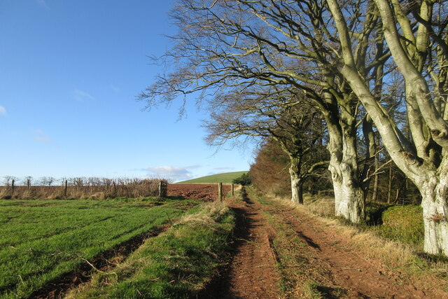
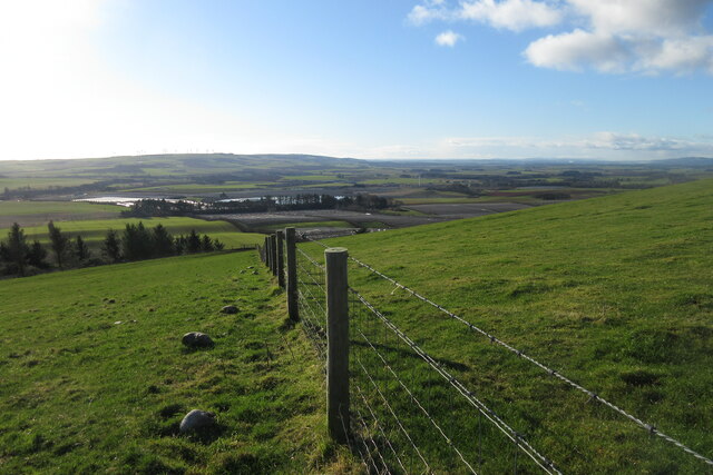
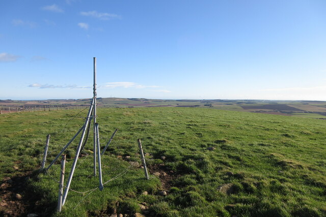
Causeywell Brae is a picturesque area located in Kincardineshire, Scotland. Situated on the outskirts of the village of Downs, it is renowned for its stunning natural beauty and unique moorland landscape.

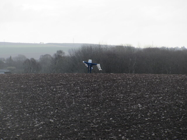
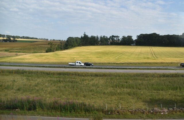
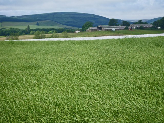
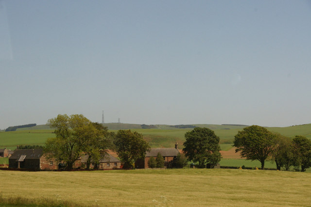
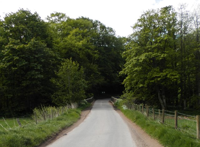
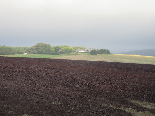
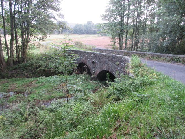
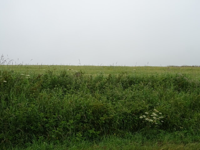
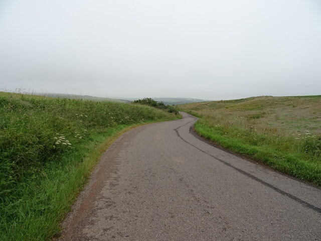
Covering an area of approximately 200 acres, Causeywell Brae is characterized by rolling hills, heather-covered moors, and meandering streams. The terrain is primarily made up of peat and granite, which gives the area its distinct appearance. The brae, or hillside, provides panoramic views of the surrounding countryside, making it a popular spot for hikers and nature enthusiasts.

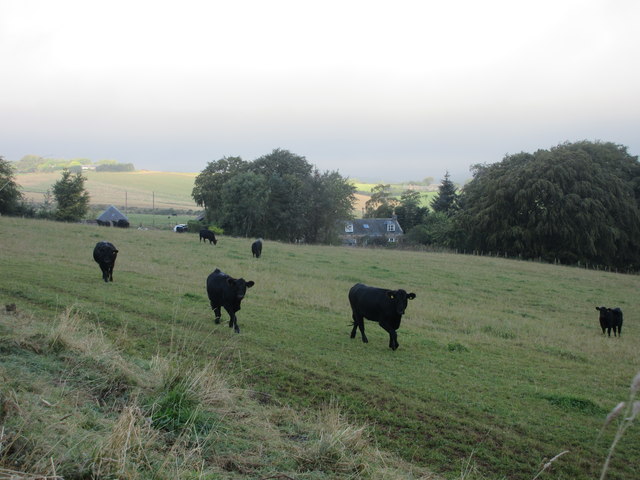
The moorland of Causeywell Brae is home to a diverse range of flora and fauna. Heather dominates the landscape, creating a beautiful purple blanket in the summer months. The area is also known for its abundance of birdlife, including species such as curlews, lapwings, and red grouse. Rare plants, such as the carnivorous sundew, can also be found in the wetter areas of the moorland.

Historically, Causeywell Brae has been used for farming and grazing. The stone walls and old shepherds' huts that dot the landscape are remnants of this agricultural past. Today, the area is protected as a Site of Special Scientific Interest, ensuring that its unique natural features are preserved for future generations to enjoy.

In conclusion, Causeywell Brae in Kincardineshire is a stunning moorland area with a rich diversity of plant and animal life. Its rolling hills, heather-clad moors, and panoramic views make it a must-visit destination for those seeking a peaceful and beautiful natural setting.

If you have any feedback on the listing, please let us know in the comments section below.

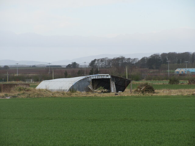
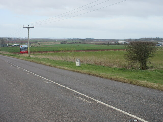
Causeywell Brae Images

Images are sourced within 2km of 56.899451/-2.4107624 or Grid Reference NO7578. Thanks to Geograph Open Source API. All images are credited.

Approaching Knock Hill from the east Approaching Knock Hill from the east along the path leading up from East Mondynes beside the A90.
Approaching Knock Hill from the east
Approaching Knock Hill from the east along the path leading up from East Mondynes beside the A90.
View from the slope of Knock Hill towards the south-west Looking south-west over Castleton Farm in the middle distance towards Hill of Garvock in the left distance. The route of the A90 dual-carriageway from Aberdeen to Dundee goes from left to right in the middle distance along the low land.
View from the slope of Knock Hill towards the south-west
Looking south-west over Castleton Farm in the middle distance towards Hill of Garvock in the left distance. The route of the A90 dual-carriageway from Aberdeen to Dundee goes from left to right in the middle distance along the low land.
Top of Knock Hill looking south-east Knock Hill is only 218 metres high but is a fine viewpoint to all directions on a clear day.
Top of Knock Hill looking south-east
Knock Hill is only 218 metres high but is a fine viewpoint to all directions on a clear day.
Heading to Crossroads Minor road heading northwards to the B966 at Crossroads.
Heading to Crossroads
Minor road heading northwards to the B966 at Crossroads.
Dilapidated quonset hut Ruined quonset hut near the old Fordoun Airfield at Balfeith.
Dilapidated quonset hut
Ruined quonset hut near the old Fordoun Airfield at Balfeith.
Milestone on the old A94 Stonehaven/Laurencekirk milestone on the spur of the B966 near Castleton, formerly the A94.
Milestone on the old A94
Stonehaven/Laurencekirk milestone on the spur of the B966 near Castleton, formerly the A94.
Play area at Castleton Playground adjacent to Castleton Farm Shop.
Play area at Castleton
Playground adjacent to Castleton Farm Shop.
Cushnie Farm Cottages Cottages at the entrance drive to Cushnie, viewed from the south-east.
Cushnie Farm Cottages
Cottages at the entrance drive to Cushnie, viewed from the south-east.
Scarecrow at Bankhead Rudimentary scarecrow in a field to the east of Bankhead.
Scarecrow at Bankhead
Rudimentary scarecrow in a field to the east of Bankhead.
A90 The A90 road is a major north to south highway in eastern Scotland, starting in Edinburgh and running for 146 miles up the majority of the east coast to end in Fraserburgh (although immediately north of the Forth it has been replaced by the similarly numbered M90).
A90
The A90 road is a major north to south highway in eastern Scotland, starting in Edinburgh and running for 146 miles up the majority of the east coast to end in Fraserburgh (although immediately north of the Forth it has been replaced by the similarly numbered M90).
Waist deep in rapeseed Blooms are gone from the rapeseed.
Waist deep in rapeseed
Blooms are gone from the rapeseed.
Abbeyton Farm, near Mondynes
Bridge of Bervie Bridge of Bervie over Bervie Water
Bridge of Bervie
Bridge of Bervie over Bervie Water
Mid Blairs A distant view of Mid Blairs from the roadside to the south-east.
Mid Blairs
A distant view of Mid Blairs from the roadside to the south-east.
Cattle at Auchtochter Black cattle, with Auchtochter in the background.
Cattle at Auchtochter
Black cattle, with Auchtochter in the background.
Bridge over the Bervie Bridge carrying the C19K Auchenblae to Glenbervie road over the Bervie Water.
Bridge over the Bervie
Bridge carrying the C19K Auchenblae to Glenbervie road over the Bervie Water.
Field above the Glenbervie Road
Glenbervie Road From Kinkell towards Glenbervie.
Glenbervie Road
From Kinkell towards Glenbervie.
Show me another place!

Causeywell Brae is located at Grid Ref: NO7578 (Lat: 56.899451, Lng: -2.4107624)

Unitary Authority: Aberdeenshire

Police Authority: North East

What 3 Words

///burglars.blank.support. Near Laurencekirk, Aberdeenshire

Related Wikis

Abbeyton Bridge

Abbeyton Bridge was a road bridge that carried the B966 road over the Dundee–Aberdeen line. == History == In June 2018, Aberdeenshire Council introduced...

Glenbervie House

Glenbervie House is a mansion house, which has incorporated parts of an earlier castle, located near Glenbervie, Kincardine and Mearns, Scotland. ��2...

Fordoun Stone

The Fordoun Stone is a class II Pictish cross slab in Fordoun parish church, Auchenblae, Aberdeenshire, Scotland. == Description == A slab of Old Red Sandstone...

Glenbervie

Glenbervie (Scottish Gaelic: Gleann Biorbhaidh) is located in the north east of Scotland in the Howe o' the Mearns, one mile from the village of Drumlithie...

Nearby Amenities

Located within 500m of 56.899451,-2.4107624
Power: pole
Lat/Long: 56.8994253/-2.4189137
Power: pole
Lat/Long: 56.8962211/-2.4157457
Power: pole
Lat/Long: 56.8963416/-2.4148505
Power: pole
Lat/Long: 56.8965089/-2.4136245
Power: pole
Lat/Long: 56.8966824/-2.4123302
Power: pole
Lat/Long: 56.8968618/-2.4109742
Power: pole
Lat/Long: 56.8970304/-2.4096182
Power: pole
Lat/Long: 56.897146/-2.4086943
Power: pole
Lat/Long: 56.8973158/-2.4074684
Power: pole
Lat/Long: 56.8974844/-2.4061697
Power: pole
Lat/Long: 56.8976036/-2.4052458
Power: pole
Lat/Long: 56.8977348/-2.4043749
Power: pole
Lat/Long: 56.8978769/-2.4032614
Power: pole
Lat/Long: 56.8959333/-2.4145528
Power: pole
Lat/Long: 56.8956419/-2.4133732
Power: pole
Lat/Long: 56.8953709/-2.4122266
Power: pole
Lat/Long: 56.8951217/-2.411241
Power: pole
Lat/Long: 56.8954119/-2.4099247
The data included in this document is from www.openstreetmap.org. The data is made available under ODbL.

Have you been to Causeywell Brae?

Leave your review of Causeywell Brae below (or comments, questions and feedback).