Spy Hillock

Hill, Mountain in Kincardineshire

Scotland

Spy Hillock

Approaching Knock Hill from the east Approaching Knock Hill from the east along the path leading up from East Mondynes beside the A90.
Approaching Knock Hill from the east Credit: Andrew McMahon

Spy Hillock is a prominent hill located in Kincardineshire, Scotland. Situated in the northeastern part of the county, it forms part of the rolling landscape of the area. Spy Hillock stands at an elevation of approximately 202 meters (663 feet), making it a notable feature in the region.

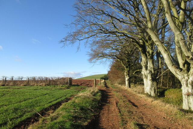
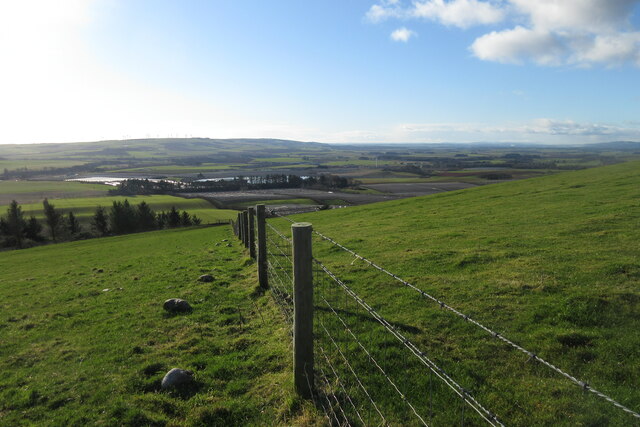
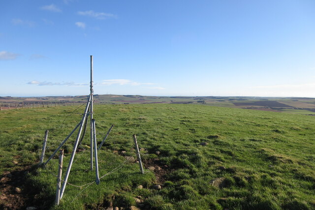
The hill offers stunning panoramic views of the surrounding countryside, with its sloping sides covered in grass and patches of heather. Its location provides an excellent vantage point for observing the nearby towns and villages, as well as the expansive North Sea coastline.

Spy Hillock is easily accessible, with several walking trails leading to its summit. These paths vary in difficulty, accommodating both casual strollers and more experienced hikers. The hill's relatively moderate height makes it a popular destination for outdoor enthusiasts seeking a rewarding climb without the challenges of a higher peak.

Flora and fauna are abundant in the area surrounding Spy Hillock. The hill is home to a diverse range of plant species, including wildflowers, shrubs, and grasses. Various bird species, such as skylarks and meadow pipits, can be spotted soaring above the hill, adding to its natural charm.

Overall, Spy Hillock is a picturesque and easily accessible hill, offering visitors a chance to immerse themselves in the natural beauty of Kincardineshire. Whether it's a leisurely walk or a challenging hike, the hill provides a worthwhile experience for nature lovers and outdoor enthusiasts alike.

If you have any feedback on the listing, please let us know in the comments section below.
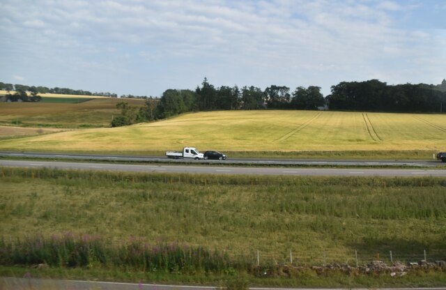
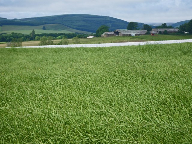
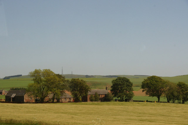
Spy Hillock Images

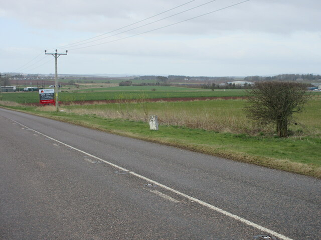
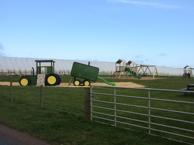
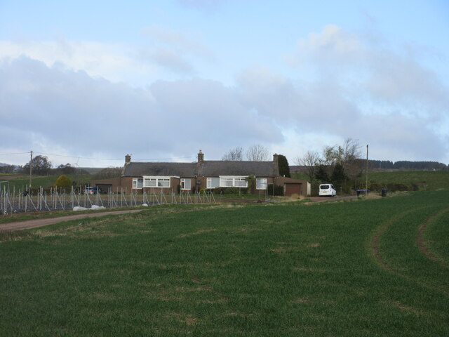
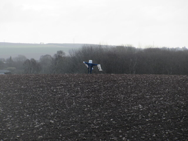
Images are sourced within 2km of 56.900755/-2.4047679 or Grid Reference NO7578. Thanks to Geograph Open Source API. All images are credited.

Approaching Knock Hill from the east Approaching Knock Hill from the east along the path leading up from East Mondynes beside the A90.
Approaching Knock Hill from the east
Approaching Knock Hill from the east along the path leading up from East Mondynes beside the A90.
View from the slope of Knock Hill towards the south-west Looking south-west over Castleton Farm in the middle distance towards Hill of Garvock in the left distance. The route of the A90 dual-carriageway from Aberdeen to Dundee goes from left to right in the middle distance along the low land.
View from the slope of Knock Hill towards the south-west
Looking south-west over Castleton Farm in the middle distance towards Hill of Garvock in the left distance. The route of the A90 dual-carriageway from Aberdeen to Dundee goes from left to right in the middle distance along the low land.
Top of Knock Hill looking south-east Knock Hill is only 218 metres high but is a fine viewpoint to all directions on a clear day.
Top of Knock Hill looking south-east
Knock Hill is only 218 metres high but is a fine viewpoint to all directions on a clear day.
Dilapidated quonset hut Ruined quonset hut near the old Fordoun Airfield at Balfeith.
Dilapidated quonset hut
Ruined quonset hut near the old Fordoun Airfield at Balfeith.
Milestone on the old A94 Stonehaven/Laurencekirk milestone on the spur of the B966 near Castleton, formerly the A94.
Milestone on the old A94
Stonehaven/Laurencekirk milestone on the spur of the B966 near Castleton, formerly the A94.
Play area at Castleton Playground adjacent to Castleton Farm Shop.
Play area at Castleton
Playground adjacent to Castleton Farm Shop.
Cushnie Farm Cottages Cottages at the entrance drive to Cushnie, viewed from the south-east.
Cushnie Farm Cottages
Cottages at the entrance drive to Cushnie, viewed from the south-east.
Scarecrow at Bankhead Rudimentary scarecrow in a field to the east of Bankhead.
Scarecrow at Bankhead
Rudimentary scarecrow in a field to the east of Bankhead.
A90 The A90 road is a major north to south highway in eastern Scotland, starting in Edinburgh and running for 146 miles up the majority of the east coast to end in Fraserburgh (although immediately north of the Forth it has been replaced by the similarly numbered M90).
A90
The A90 road is a major north to south highway in eastern Scotland, starting in Edinburgh and running for 146 miles up the majority of the east coast to end in Fraserburgh (although immediately north of the Forth it has been replaced by the similarly numbered M90).
Mill of Kair
Mill of Kair
Track to Mill of Kair The track curves between arable fields, some with crops already green. The bright yellow strip in the distance is one of several daffodil plantations in the Mearns.
Track to Mill of Kair
The track curves between arable fields, some with crops already green. The bright yellow strip in the distance is one of several daffodil plantations in the Mearns.
Abbeyton A typical solid red sandstone farmhouse and outbuildings with a verdant foreground.
Abbeyton
A typical solid red sandstone farmhouse and outbuildings with a verdant foreground.
Danish Scurvy-grass (Cochlearia danica) This is a non-native halophyte, that is, it's one of about 2% of plants that actually like salt. It particularly likes the central reservations of dual carriageways and the edges of roads that are treated with salt in the winter, and in spring it gives a pale lilac colour to endless miles of otherwise boring gravel.
Danish Scurvy-grass (Cochlearia danica)
This is a non-native halophyte, that is, it's one of about 2% of plants that actually like salt. It particularly likes the central reservations of dual carriageways and the edges of roads that are treated with salt in the winter, and in spring it gives a pale lilac colour to endless miles of otherwise boring gravel.
Mill of Kair The farm buildings  at Mill of Kair are almost hidden by the trees that surround them.
Mill of Kair
The farm buildings at Mill of Kair are almost hidden by the trees that surround them.
Stop the Monster Pylons All along the A90 there are signs like this protesting about plans by Scottish and Southern Electricity to upgrade the power line between Kintore and Tealing. The new pylons will be much larger and more intrusive than the ones that already exist, and the communities that will be affected are putting up a fight against them. It would be good to think that they can win, and prevent the pylons being built, but the difficulty is that the pylons will have to go somewhere, whether we like it or not, if the country's power supply is to become fully renewable and zero-carbon.
Stop the Monster Pylons
All along the A90 there are signs like this protesting about plans by Scottish and Southern Electricity to upgrade the power line between Kintore and Tealing. The new pylons will be much larger and more intrusive than the ones that already exist, and the communities that will be affected are putting up a fight against them. It would be good to think that they can win, and prevent the pylons being built, but the difficulty is that the pylons will have to go somewhere, whether we like it or not, if the country's power supply is to become fully renewable and zero-carbon.
Dandelion (Taraxacum) Some 250 species of Dandelion occur in Britain and Ireland, and telling them from one another takes considerable expertise, which I do not possess. I can see that this particular plant has leaves that are much more jagged and deeply cut than the ones I encounter in my garden, but I would not venture to say which species it is.
Dandelion (Taraxacum)
Some 250 species of Dandelion occur in Britain and Ireland, and telling them from one another takes considerable expertise, which I do not possess. I can see that this particular plant has leaves that are much more jagged and deeply cut than the ones I encounter in my garden, but I would not venture to say which species it is.
Waist deep in rapeseed Blooms are gone from the rapeseed.
Waist deep in rapeseed
Blooms are gone from the rapeseed.
Abbeyton Farm, near Mondynes
Show me another place!

Spy Hillock is located at Grid Ref: NO7578 (Lat: 56.900755, Lng: -2.4047679)

Unitary Authority: Aberdeenshire

Police Authority: North East

What 3 Words

///interlude.braced.unlimited. Near Laurencekirk, Aberdeenshire

Related Wikis

Abbeyton Bridge

Abbeyton Bridge was a road bridge that carried the B966 road over the Dundee–Aberdeen line. == History == In June 2018, Aberdeenshire Council introduced...

Glenbervie House

Glenbervie House is a mansion house, which has incorporated parts of an earlier castle, located near Glenbervie, Kincardine and Mearns, Scotland. ��2...

Glenbervie

Glenbervie (Scottish Gaelic: Gleann Biorbhaidh) is located in the north east of Scotland in the Howe o' the Mearns, one mile from the village of Drumlithie...

Droop Hill

Droop Hill is a mountain landform in the Kincardine and Mearns region of Aberdeenshire, Scotland. The locale had been featured in a windfarm proposal...

Nearby Amenities

Located within 500m of 56.900755,-2.4047679
Power: pole
Lat/Long: 56.897146/-2.4086943
Power: pole
Lat/Long: 56.8973158/-2.4074684
Power: pole
Lat/Long: 56.8974844/-2.4061697
Power: pole
Lat/Long: 56.8976036/-2.4052458
Power: pole
Lat/Long: 56.8977348/-2.4043749
Power: pole
Lat/Long: 56.8978769/-2.4032614
Power: pole
Lat/Long: 56.8980491/-2.4018767
Power: pole
Lat/Long: 56.8982057/-2.4006993
Power: pole
Lat/Long: 56.8983718/-2.3995615
Power: pole
Lat/Long: 56.8985332/-2.3982077
The data included in this document is from www.openstreetmap.org. The data is made available under ODbL.

Have you been to Spy Hillock?

Leave your review of Spy Hillock below (or comments, questions and feedback).