Castle Hill

Hill, Mountain in Kincardineshire

Scotland

Castle Hill

Poly tunnels near Fordoun Looking across to the Mains of Kair.
Poly tunnels near Fordoun Credit: Mike Pennington

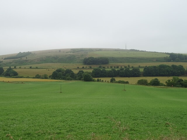
Castle Hill, located in Kincardineshire, Scotland, is a prominent hill that offers breathtaking views of the surrounding countryside. Rising to a height of approximately 230 meters (750 feet), it is a notable landmark in the area. The hill is situated near the town of Stonehaven, just to the south of Aberdeen.

Castle Hill is renowned for its historical significance, as it is home to the ruins of Dunnottar Castle. This medieval fortress, perched atop the hill, dates back to the 15th century and has witnessed numerous significant events in Scottish history. The castle played a pivotal role during the Wars of Independence and was a stronghold for various Scottish noble families.

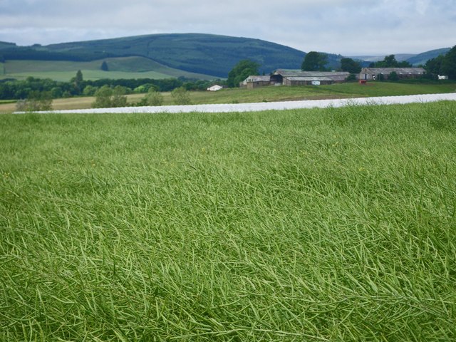
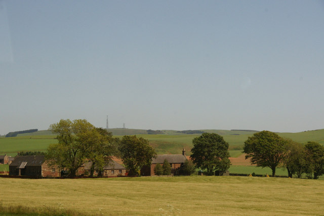
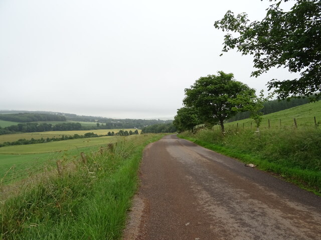
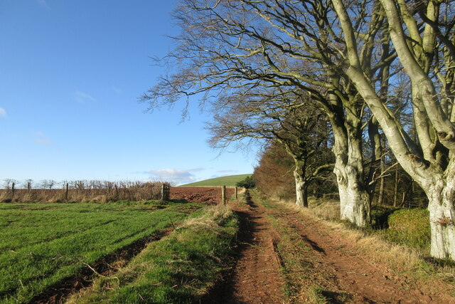
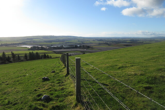
The hill itself is predominantly covered in lush greenery, with grassy slopes and scattered trees. Its strategic location near the North Sea provides visitors with stunning panoramic views of the coastline and the vast expanse of the ocean.

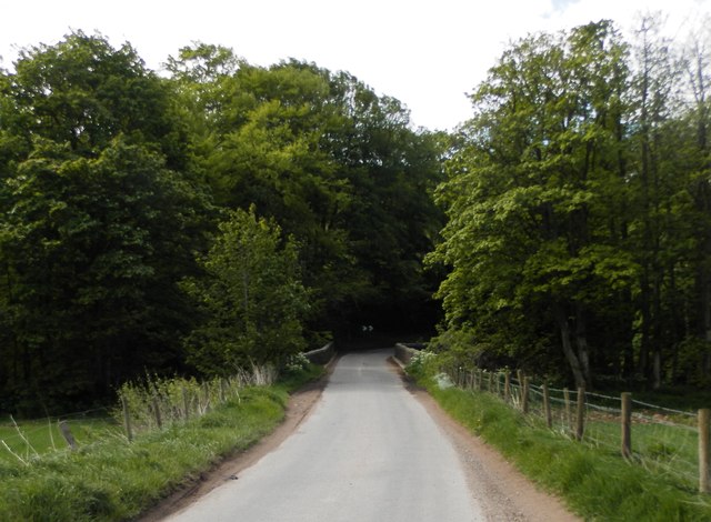
Accessible via a well-maintained footpath, Castle Hill attracts both locals and tourists throughout the year. The climb to the top can be moderately challenging, but it is well worth the effort. Once at the summit, visitors can explore the castle ruins, which include a chapel, barracks, and residential buildings. The site is steeped in history and offers a glimpse into Scotland's past.

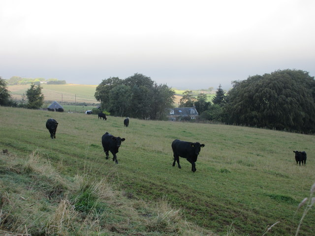
Castle Hill is not only a historical and cultural attraction but also a popular spot for outdoor enthusiasts. It provides opportunities for hiking, photography, and birdwatching, with various species of birds frequently seen in the area.

Overall, Castle Hill in Kincardineshire offers a rich blend of history, natural beauty, and recreational activities, making it a must-visit destination for anyone exploring the region.

If you have any feedback on the listing, please let us know in the comments section below.
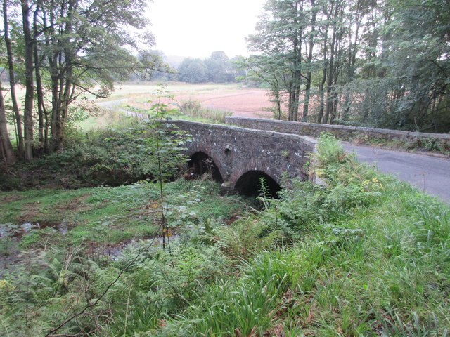
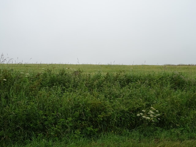
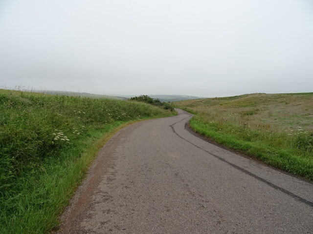
Castle Hill Images

Images are sourced within 2km of 56.900257/-2.397621 or Grid Reference NO7578. Thanks to Geograph Open Source API. All images are credited.

Poly tunnels near Fordoun Looking across to the Mains of Kair.
Poly tunnels near Fordoun
Looking across to the Mains of Kair.
Waist deep in rapeseed Blooms are gone from the rapeseed.
Waist deep in rapeseed
Blooms are gone from the rapeseed.
Abbeyton Farm, near Mondynes
Mill of Kair, near Fordoun
Field at Hawkhill Farm, Glenbervie
Bridge of Bervie Bridge of Bervie over Bervie Water
Bridge of Bervie
Bridge of Bervie over Bervie Water
Cattle at Auchtochter Black cattle, with Auchtochter in the background.
Cattle at Auchtochter
Black cattle, with Auchtochter in the background.
Bridge over the Bervie Bridge carrying the C19K Auchenblae to Glenbervie road over the Bervie Water.
Bridge over the Bervie
Bridge carrying the C19K Auchenblae to Glenbervie road over the Bervie Water.
Field above the Glenbervie Road
Glenbervie Road From Kinkell towards Glenbervie.
Glenbervie Road
From Kinkell towards Glenbervie.
Grazing, Auchtochter Towards a distant Droop Hill.
Grazing, Auchtochter
Towards a distant Droop Hill.
Glenbervie Road, Auchtochter Looking east.
Glenbervie Road, Auchtochter
Looking east.
Distribution centre, Glenbervie
Works entrance, Glenbervie
Small woodland, Law of Balfeith
Stubble field and track to Mains of Mondynes
Approaching Knock Hill from the east Approaching Knock Hill from the east along the path leading up from East Mondynes beside the A90.
Approaching Knock Hill from the east
Approaching Knock Hill from the east along the path leading up from East Mondynes beside the A90.
View from the slope of Knock Hill towards the south-west Looking south-west over Castleton Farm in the middle distance towards Hill of Garvock in the left distance. The route of the A90 dual-carriageway from Aberdeen to Dundee goes from left to right in the middle distance along the low land.
View from the slope of Knock Hill towards the south-west
Looking south-west over Castleton Farm in the middle distance towards Hill of Garvock in the left distance. The route of the A90 dual-carriageway from Aberdeen to Dundee goes from left to right in the middle distance along the low land.
Show me another place!

Castle Hill is located at Grid Ref: NO7578 (Lat: 56.900257, Lng: -2.397621)

Unitary Authority: Aberdeenshire

Police Authority: North East

What 3 Words

///convinces.mouse.behind. Near Laurencekirk, Aberdeenshire

Related Wikis

Abbeyton Bridge

Abbeyton Bridge was a road bridge that carried the B966 road over the Dundee–Aberdeen line. == History == In June 2018, Aberdeenshire Council introduced...

Glenbervie House

Glenbervie House is a mansion house, which has incorporated parts of an earlier castle, located near Glenbervie, Kincardine and Mearns, Scotland. ��2...

Glenbervie

Glenbervie (Scottish Gaelic: Gleann Biorbhaidh) is located in the north east of Scotland in the Howe o' the Mearns, one mile from the village of Drumlithie...

Droop Hill

Droop Hill is a mountain landform in the Kincardine and Mearns region of Aberdeenshire, Scotland. The locale had been featured in a windfarm proposal...

Nearby Amenities

Located within 500m of 56.900257,-2.397621
Castleton
Place: locality
Lat/Long: 56.8992191/-2.3967812
Power: pole
Lat/Long: 56.8992502/-2.3904594
Power: pole
Lat/Long: 56.8991414/-2.3914316
Power: pole
Lat/Long: 56.899062/-2.3924276
Power: pole
Lat/Long: 56.8990022/-2.3934077
Power: pole
Lat/Long: 56.8989347/-2.3944216
Power: pole
Lat/Long: 56.8977348/-2.4043749
Power: pole
Lat/Long: 56.8978769/-2.4032614
Power: pole
Lat/Long: 56.8980491/-2.4018767
Power: pole
Lat/Long: 56.8982057/-2.4006993
Power: pole
Lat/Long: 56.8983718/-2.3995615
Power: pole
Lat/Long: 56.8985332/-2.3982077
Power: pole
Lat/Long: 56.8986693/-2.397178
Power: pole
Lat/Long: 56.8987331/-2.3966643
The data included in this document is from www.openstreetmap.org. The data is made available under ODbL.

Have you been to Castle Hill?

Leave your review of Castle Hill below (or comments, questions and feedback).