Bower Hill

Hill, Mountain in Staffordshire Wyre Forest

England

Bower Hill

Upper Arley village and the river Severn Seen across the River Severn. The ramp on the far bank was the slipway to the former ferry, now replaced by a footbridge just out of shot to the right.
Upper Arley village and the river Severn Credit: David Stowell

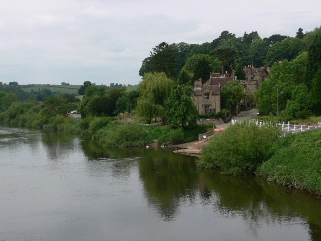
Bower Hill is a prominent hill located in Staffordshire, England. It is situated in the picturesque countryside of the county, offering visitors and locals alike a stunning natural landscape to explore and enjoy. Rising to an elevation of approximately 225 meters (738 feet), it is not classified as a mountain but rather a hill.

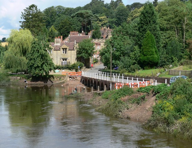
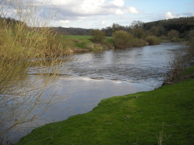
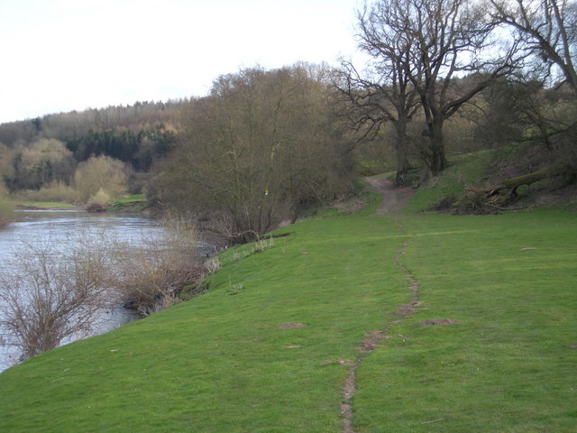
The hill is well-known for its outstanding beauty and is a popular destination for outdoor enthusiasts, hikers, and nature lovers. The surrounding area is characterized by rolling green fields, dense woodlands, and meandering streams, creating a serene and tranquil atmosphere. The hill itself is covered in lush grass and dotted with wildflowers, providing a vibrant and colorful backdrop.

At the summit of Bower Hill, visitors are rewarded with breathtaking panoramic views of the surrounding Staffordshire countryside. On a clear day, it is possible to see for miles, taking in the undulating hills and valleys that define the region. This makes it a fantastic spot for picnics, photography, or simply to admire the beauty of nature.

The hill also holds historical significance, as it is believed to have been an important vantage point during ancient times, possibly used for defensive purposes. Although there are no known archaeological remains, the hill's strategic location provides a glimpse into the past.

Overall, Bower Hill in Staffordshire is a stunning natural landmark, offering visitors a chance to immerse themselves in the beauty of the English countryside while enjoying its historical significance.

If you have any feedback on the listing, please let us know in the comments section below.
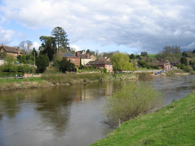
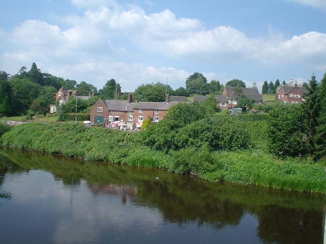
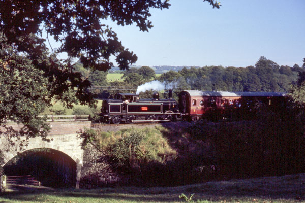
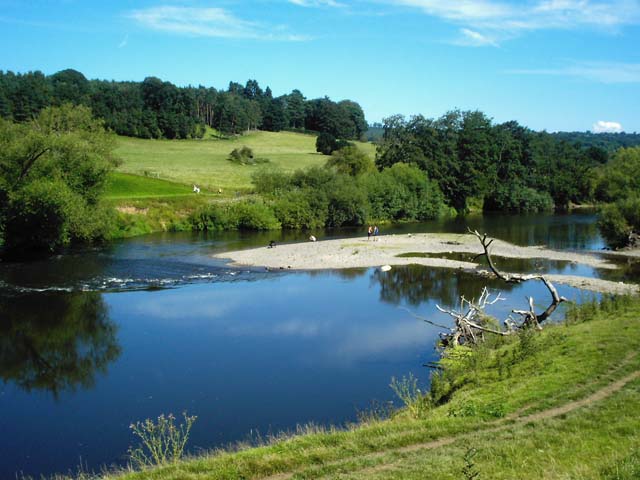
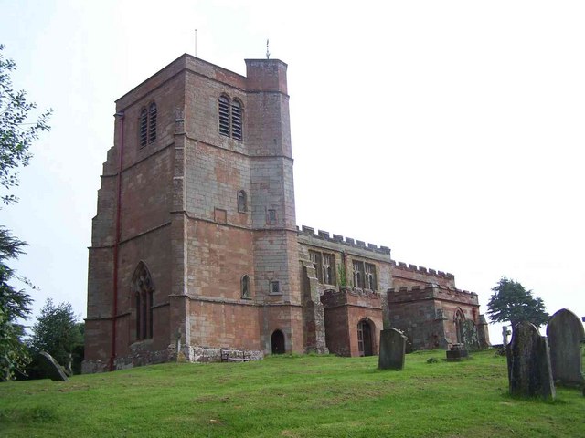
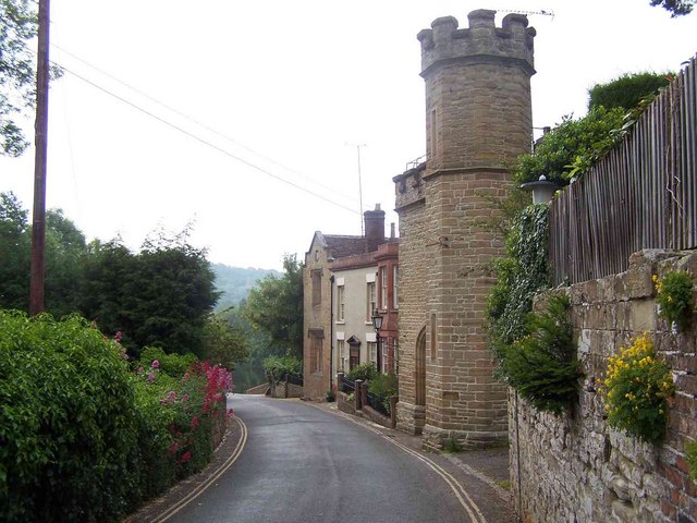
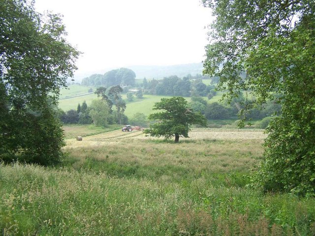
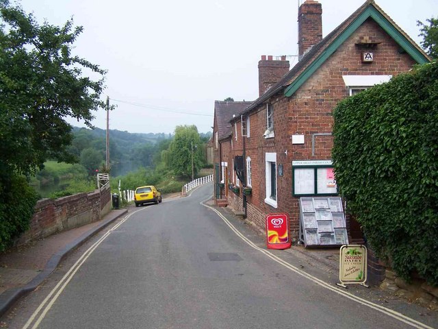
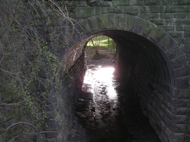
Bower Hill Images

Images are sourced within 2km of 52.409164/-2.3574726 or Grid Reference SO7579. Thanks to Geograph Open Source API. All images are credited.

Upper Arley village and the river Severn Seen across the River Severn. The ramp on the far bank was the slipway to the former ferry, now replaced by a footbridge just out of shot to the right.
Upper Arley village and the river Severn
Seen across the River Severn. The ramp on the far bank was the slipway to the former ferry, now replaced by a footbridge just out of shot to the right.
Upper Arley Taken from the bridge over the river Severn
Upper Arley
Taken from the bridge over the river Severn
Coal tank near Severn Lodge LNWR "Coal tank" no. 1054 heads towards Highley and Bridgnorth, near Severn Lodge
Coal tank near Severn Lodge
LNWR "Coal tank" no. 1054 heads towards Highley and Bridgnorth, near Severn Lodge
Sand bank A natural lump in a shallow stretch.
Sand bank
A natural lump in a shallow stretch.
St. Peter, Upper Arley
Upper Arley
Upper Arley
Severn Valley Near Upper Arley
Village Store, Upper Arley
Upper Arley and River Severn The view from the footbridge, with the slipway from the former ferry.
Upper Arley and River Severn
The view from the footbridge, with the slipway from the former ferry.
Upper Arley Flood damage from the River Severn is visible next to the road. Viewed from the footbridge across the river.
Upper Arley
Flood damage from the River Severn is visible next to the road. Viewed from the footbridge across the river.
Closed due to flood damage This is the Severn Way public footpath at Upper Arley, closed due to part of the path being washed away at: <a href="https://www.geograph.org.uk/photo/493484">SO7679 : Severn Way flood damage</a>
Closed due to flood damage
This is the Severn Way public footpath at Upper Arley, closed due to part of the path being washed away at: SO7679 : Severn Way flood damage
Footbridge Crossing the River Severn at Upper Arley.
Footbridge
Crossing the River Severn at Upper Arley.
Severn Way at Upper Arley Public footpath as it enters Upper Arley.
Severn Way at Upper Arley
Public footpath as it enters Upper Arley.
Upper Arley from the SVR station
Upper Arley (1980)
Upper Arley (1980)
Culvert beneath the SVR This is a strange item to have as a county boundary, Worcestershire on the left & Shropshire on the right.
Culvert beneath the SVR
This is a strange item to have as a county boundary, Worcestershire on the left & Shropshire on the right.
Changing current Something must lie beneath the river to affect the current in this way.
Changing current
Something must lie beneath the river to affect the current in this way.
The Severn Way The start of the Worcestershire (heading south) section of this long distance footpath.
The Severn Way
The start of the Worcestershire (heading south) section of this long distance footpath.
Show me another place!

Bower Hill is located at Grid Ref: SO7579 (Lat: 52.409164, Lng: -2.3574726)

Administrative County: Worcestershire

District: Wyre Forest

Police Authority: West Mercia

What 3 Words

///laminated.dribble.magazines. Near Bewdley, Worcestershire

Related Wikis

Pound Green

Pound Green is a hamlet in Upper Arley, Worcestershire, England. It has a number of tourist landmarks such as Ye Olde New Inn and a village hall that also...

Victoria Bridge, Worcestershire

The Victoria Bridge crosses the River Severn between Arley and Bewdley in Worcestershire, England. At the time of its construction, the 200-foot railway...

Arley railway station

Arley railway station is a station on the Severn Valley Railway heritage line in Worcestershire, situated just over the River Severn from the village of...

Button Oak

Button Oak is a small village in the English county of Shropshire, England. It is 3 miles north west of Bewdley. Button Oak is very similar to nearby...

Shatterford Hill

Shatterford Hill is an English geographical feature that extends from Bewdley in north Worcestershire to Birdsgreen near Alveley, just over the border...

Upper Arley

Upper Arley (grid reference SO765805) is a village and civil parish near Kidderminster in the Wyre Forest District of Worcestershire, England. Historically...

Arley House and Gardens

Arley House and Gardens are situated at Upper Arley, about 4 miles (6.4 km) north-west of Bewdley, in Worcestershire, England. The gardens, arboretum and...

Coppicegate

Coppicegate is a small settlement in Shropshire, England. It is beside the Wyre Forest and is 10 kilometres (6 mi) northwest of Kidderminster. == External... ==

Nearby Amenities

Located within 500m of 52.409164,-2.3574726
Pub
Ye Olde New Inn
Guest House: bed_and_breakfast
Tourism: guest_house
Lat/Long: 52.4107905/-2.3587134
Pound Green-New Inn
Naptan AtcoCode: 2000G111000
Naptan Bearing: N
Naptan BusStopType: CUS
Naptan CommonName: Pound Green-New Inn
Naptan Indicator: Adj
Naptan Landmark: Public House
Naptan NaptanCode: wocdgjgt
Naptan Street: Pound Green Road
Naptan Verified: no
Source: naptan_import
Lat/Long: 52.4106072/-2.3590822
Barrier: cattle_grid
Lat/Long: 52.4099203/-2.3611158
Building: yes
Lat/Long: 52.407695/-2.3616301
Building: yes
Lat/Long: 52.409305/-2.3619091
Place: farm
Lat/Long: 52.4109804/-2.3594522
Place: farm
Lat/Long: 52.4123679/-2.3582291
Name En: 2
Lat/Long: 52.408854/-2.354294
The data included in this document is from www.openstreetmap.org. The data is made available under ODbL.

Have you been to Bower Hill?

Leave your review of Bower Hill below (or comments, questions and feedback).