Skeet's Rough
Wood, Forest in Staffordshire Wyre Forest
England
Skeet's Rough
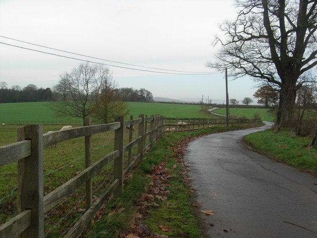
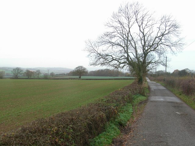
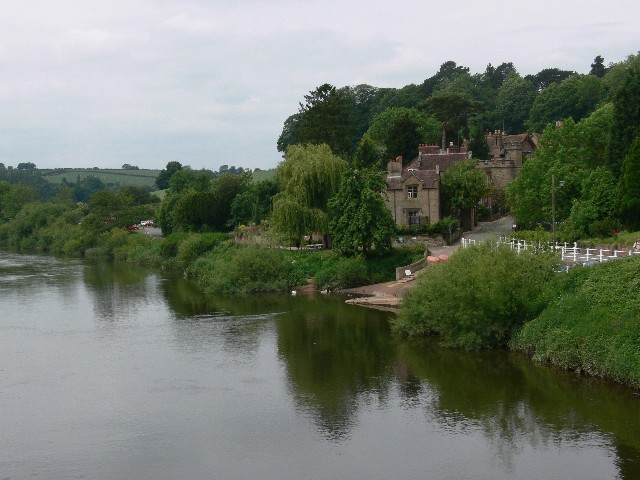
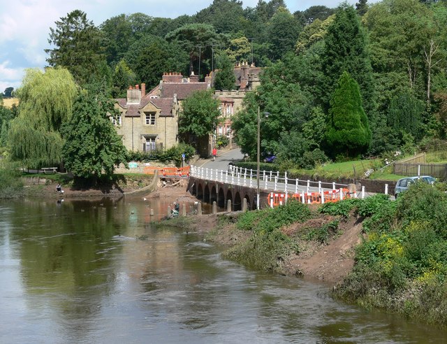
Skeet's Rough, located in Staffordshire, England, is a picturesque woodland area known for its rugged beauty and diverse ecosystem. Spanning across a vast expanse, this forested region is a haven for nature enthusiasts and outdoor adventurers alike.
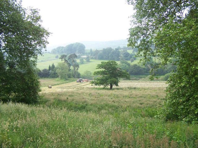
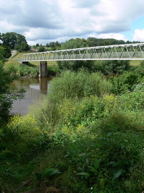
The woodland is characterized by dense vegetation, with towering trees such as oak, beech, and birch dominating the landscape. The forest floor is covered in a thick carpet of ferns, mosses, and wildflowers, creating a vibrant and enchanting atmosphere.
Skeet's Rough is home to a wide array of wildlife, making it a popular destination for birdwatching and wildlife spotting. Visitors may catch a glimpse of species such as woodpeckers, owls, squirrels, and deer, amongst others.
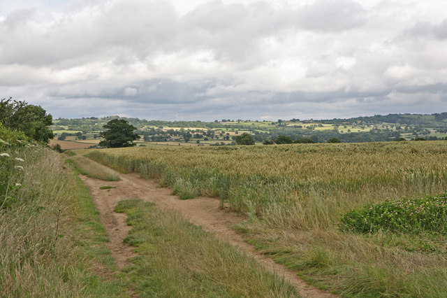
For those seeking recreational activities, the woodland offers several well-maintained trails and pathways for hiking, cycling, and horseback riding. The serene atmosphere, combined with the natural beauty of the surroundings, provides a perfect setting for a peaceful and invigorating outdoor experience.
Moreover, the forest is also known for its historical significance. It is believed that Skeet's Rough was once part of an ancient woodland that dates back hundreds of years. Evidence of human habitation, including remnants of old settlements and archaeological finds, further adds to the area's historical allure.
Overall, Skeet's Rough in Staffordshire is a remarkable woodland destination that offers a delightful blend of natural beauty, wildlife, recreational opportunities, and historical significance. It provides an escape from the hustle and bustle of everyday life and invites visitors to immerse themselves in the tranquility of nature.
If you have any feedback on the listing, please let us know in the comments section below.
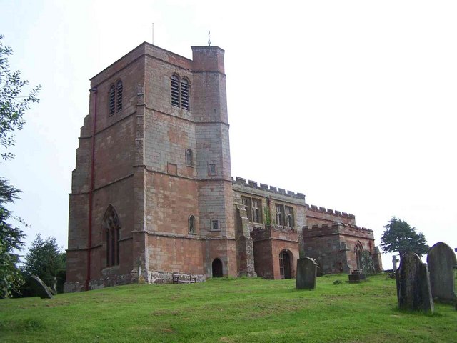
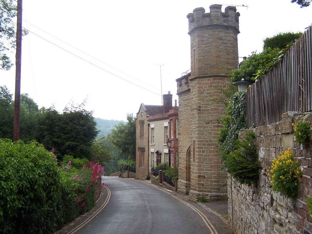
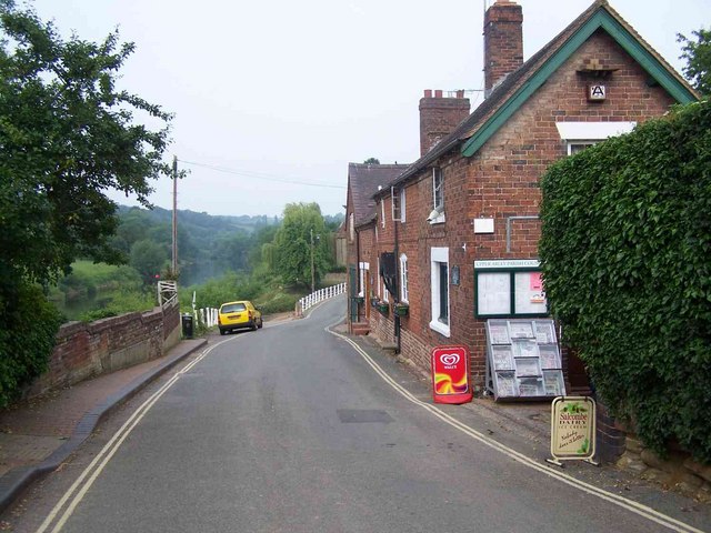
Skeet's Rough Images
Images are sourced within 2km of 52.416954/-2.3560948 or Grid Reference SO7579. Thanks to Geograph Open Source API. All images are credited.

Skeet's Rough is located at Grid Ref: SO7579 (Lat: 52.416954, Lng: -2.3560948)
Administrative County: Worcestershire
District: Wyre Forest
Police Authority: West Mercia
What 3 Words
///years.next.severe. Near Highley, Shropshire
Nearby Locations
Related Wikis

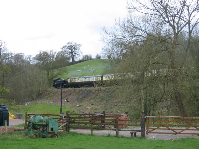
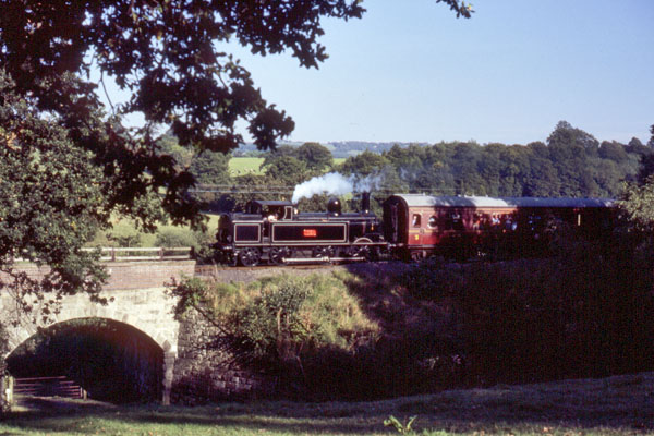
Arley railway station
Arley railway station is a station on the Severn Valley Railway heritage line in Worcestershire, situated just over the River Severn from the village of...

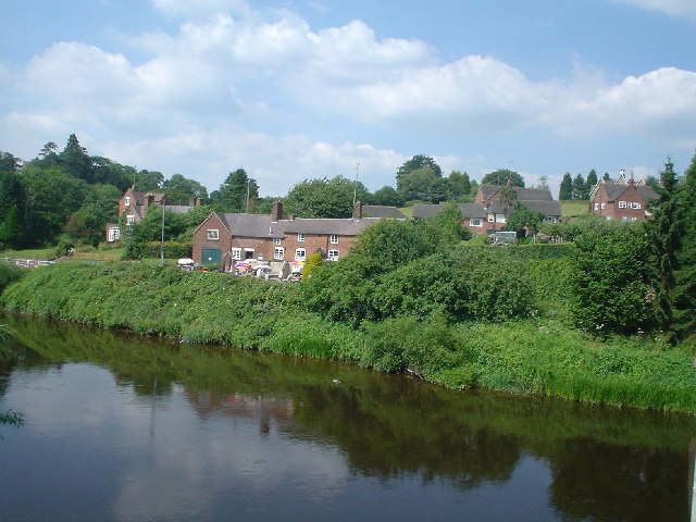
Upper Arley
Upper Arley (grid reference SO765805) is a village and civil parish near Kidderminster in the Wyre Forest District of Worcestershire, England. Historically...

Arley House and Gardens
Arley House and Gardens are situated at Upper Arley, about 4 miles (6.4 km) north-west of Bewdley, in Worcestershire, England. The gardens, arboretum and...

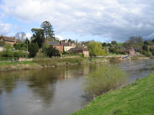
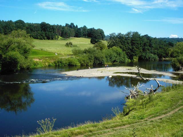
Victoria Bridge, Worcestershire
The Victoria Bridge crosses the River Severn between Arley and Bewdley in Worcestershire, England. At the time of its construction, the 200-foot railway...

Shatterford Hill
Shatterford Hill is an English geographical feature that extends from Bewdley in north Worcestershire to Birdsgreen near Alveley, just over the border...

Pound Green
Pound Green is a hamlet in Upper Arley, Worcestershire, England. It has a number of tourist landmarks such as Ye Olde New Inn and a village hall that also...

Button Oak
Button Oak is a small village in the English county of Shropshire, England. It is 3 miles north west of Bewdley. Button Oak is very similar to nearby...

Coppicegate
Coppicegate is a small settlement in Shropshire, England. It is beside the Wyre Forest and is 10 kilometres (6 mi) northwest of Kidderminster. == External... ==
Nearby Amenities
Located within 500m of 52.416954,-2.3560948Have you been to Skeet's Rough?
Leave your review of Skeet's Rough below (or comments, questions and feedback).