Ecclaw Hill
Hill, Mountain in Berwickshire
Scotland
Ecclaw Hill
The requested URL returned error: 429 Too Many Requests
If you have any feedback on the listing, please let us know in the comments section below.
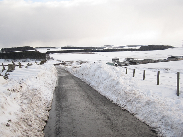
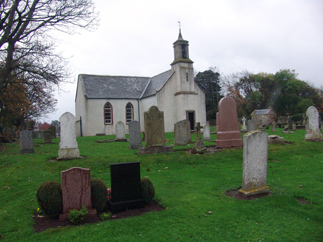
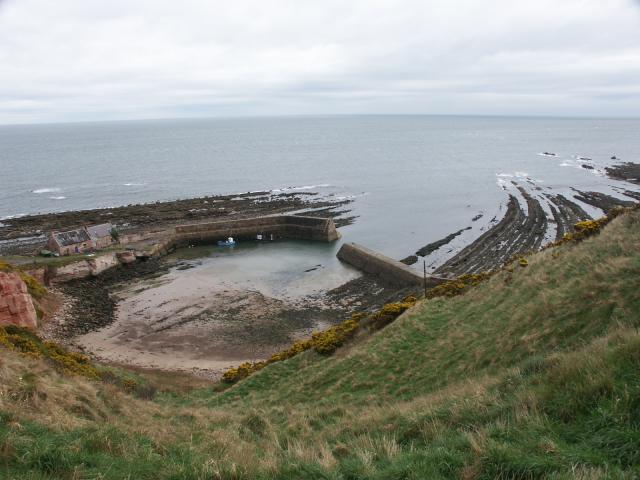
Ecclaw Hill Images
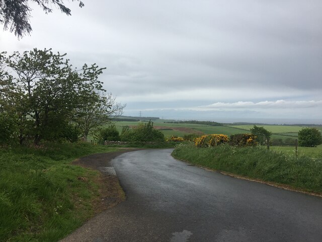
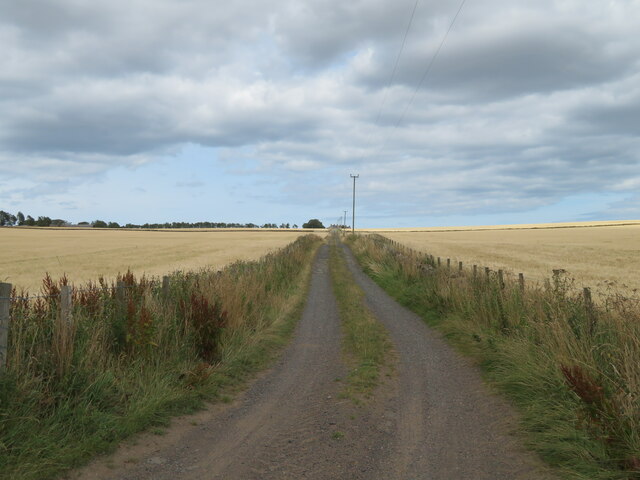
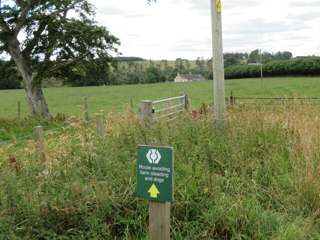
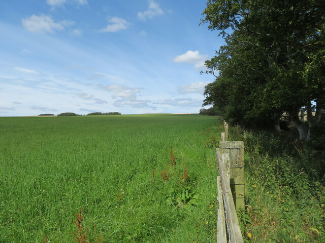
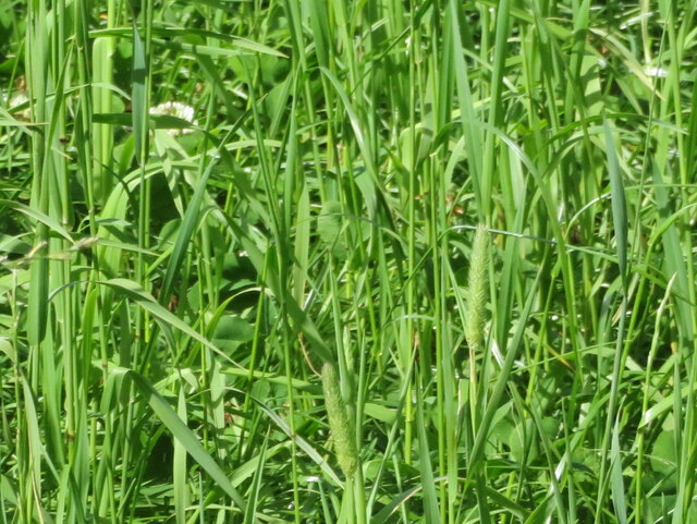
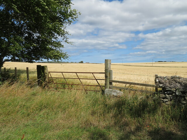
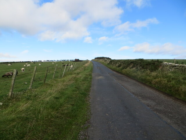
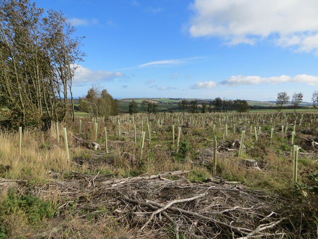
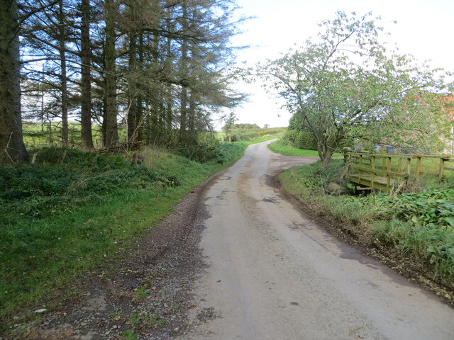
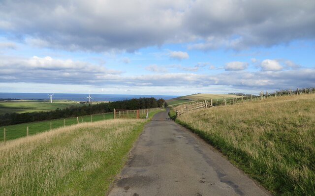
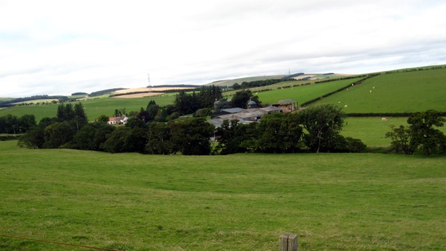
Images are sourced within 2km of 55.898459/-2.3888582 or Grid Reference NT7567. Thanks to Geograph Open Source API. All images are credited.
![Gate on the Southern Upland Way The notice informs of a realignment of the path. Blackburn Mill farm is across the field. I thought the ATV heading across the field [left] was going to give me my marching orders [I was off-tarmac with my car], but the farmer was checking on her cows and was coming across to check that I was alright, which was nice. We had an interesting talk about modern youth, the flat earth and an approaching planet blocking the real sky.](https://s1.geograph.org.uk/geophotos/07/25/09/7250953_078969f6.jpg)


Ecclaw Hill is located at Grid Ref: NT7567 (Lat: 55.898459, Lng: -2.3888582)
Unitary Authority: The Scottish Borders
Police Authority: The Lothians and Scottish Borders
What 3 Words
///pays.waltzed.moral. Near Dunbar, East Lothian
Nearby Locations
Related Wikis
Oldhamstocks
Oldhamstocks or Aldhamstocks ("old dwelling place") is a civil parish and small village in the east of East Lothian, Scotland, adjacent to the Scottish...

Penmanshiel Tunnel
Penmanshiel Tunnel is a now-disused railway tunnel near Grantshouse, Berwickshire, in the Scottish Borders region of Scotland. It was formerly part of...

Berwickshire Coastal Path
The Berwickshire Coastal Path is a walking route some 48 kilometres (30 mi) long. It follows the eastern coastline of Scotland from Cockburnspath in the...
Cockburnspath
Cockburnspath ( KOH-bərnz-pa(h)th; Scots: Co’path) is a village in the Scottish Borders area of Scotland. It lies near the North Sea coast between Berwick...
Nearby Amenities
Located within 500m of 55.898459,-2.3888582Have you been to Ecclaw Hill?
Leave your review of Ecclaw Hill below (or comments, questions and feedback).