Chestnut Wood

Wood, Forest in Somerset Mendip

England

Chestnut Wood

Bridge over a brook on the road near Witham Hall Farm The [water] Fall marked on the OS map is not visible from the road.
Bridge over a brook on the road near Witham Hall Farm Credit: Vieve Forward

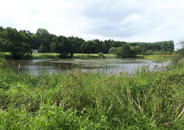
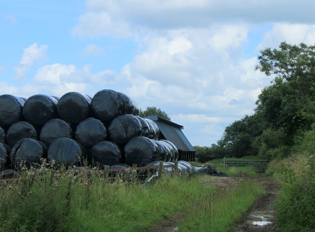
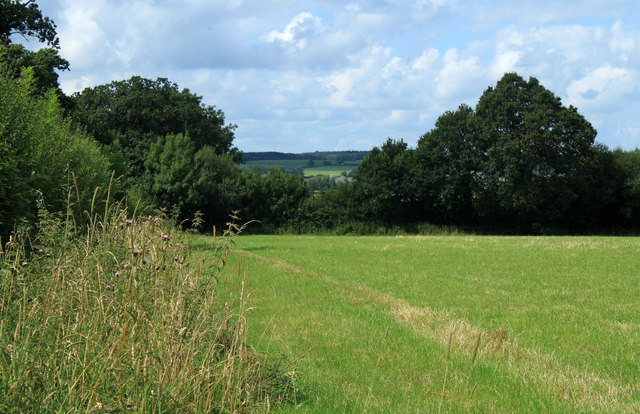
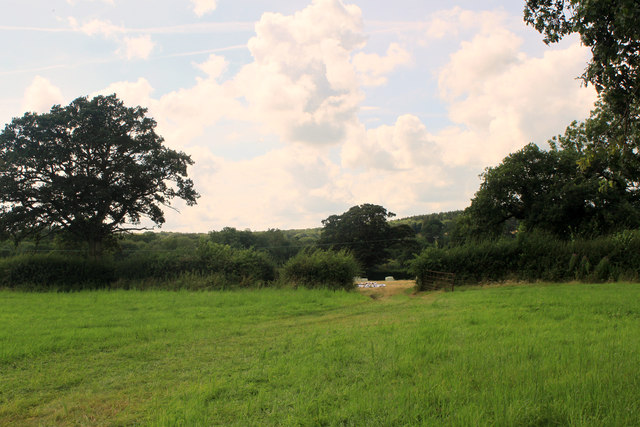
Chestnut Wood, located in Somerset, England, is a picturesque forest known for its rich biodiversity and natural beauty. Covering an area of approximately 500 acres, the wood is primarily composed of chestnut trees, which dominate the landscape with their majestic presence.

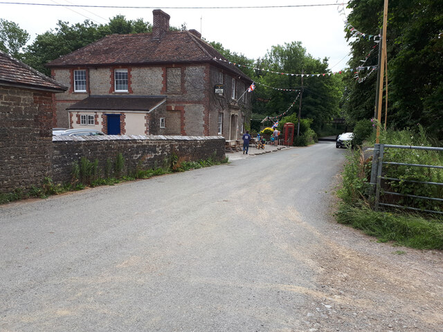
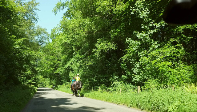
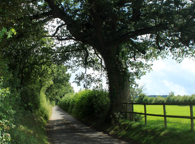
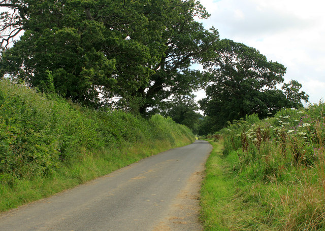
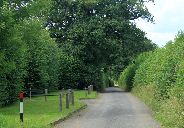
The wood is easily accessible to visitors, with well-maintained walking trails and paths that crisscross through the forest. These trails offer a unique opportunity for nature enthusiasts and hikers to explore the diverse ecosystem that thrives within the wood. The forest floor is carpeted with a variety of wildflowers, ferns, and mosses, creating a vibrant and enchanting atmosphere.

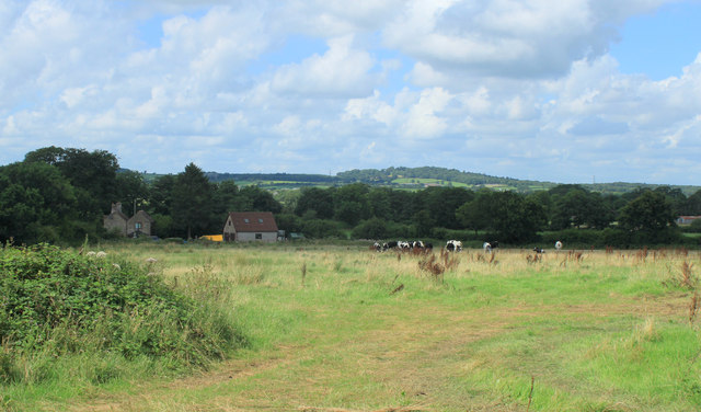
Chestnut Wood is home to a wide array of wildlife, including deer, foxes, badgers, and numerous species of birds. Birdwatchers flock to the wood to catch a glimpse of rare and migratory birds that inhabit the area. The forest's tranquil ambiance and secluded location make it an ideal habitat for these creatures.

Moreover, the wood plays a crucial role in the local economy as a sustainable source of timber. Chestnut wood is highly valued for its durability and rot-resistant properties, making it a popular choice for construction and furniture making.

Visitors to Chestnut Wood can also enjoy various recreational activities such as picnicking, camping, and nature photography. The serene surroundings and fresh air make it a perfect destination for families, nature lovers, and outdoor enthusiasts seeking a peaceful retreat.

In conclusion, Chestnut Wood in Somerset is a captivating forest that offers a harmonious blend of natural beauty, wildlife, and recreational opportunities. Its ecological importance and aesthetic appeal make it a cherished destination for both locals and tourists alike.

If you have any feedback on the listing, please let us know in the comments section below.

Chestnut Wood Images

Images are sourced within 2km of 51.15971/-2.345994 or Grid Reference ST7540. Thanks to Geograph Open Source API. All images are credited.

Bridge over a brook on the road near Witham Hall Farm The [water] Fall marked on the OS map is not visible from the road.
Bridge over a brook on the road near Witham Hall Farm
The [water] Fall marked on the OS map is not visible from the road.
View over the lake, with caravan and motorhome site in the background The lakes are on the site of the medieval fishponds of Witham Priory.
View over the lake, with caravan and motorhome site in the background
The lakes are on the site of the medieval fishponds of Witham Priory.
The Seymour Arms
The Seymour Arms
The Reading Room, Witham Firary Grade II* former village reading room, dating back to c. 1300, attached to a Carthusian priory. <span class="nowrap"><a title="https://historicengland.org.uk/listing/the-list/list-entry/1175244" rel="nofollow ugc noopener" href="https://historicengland.org.uk/listing/the-list/list-entry/1175244">Link</a><img style="margin-left:2px;" alt="External link" title="External link - shift click to open in new window" src="https://s1.geograph.org.uk/img/external.png" width="10" height="10"/></span> <span class="nowrap"><a title="https://historicengland.org.uk/listing/the-list/list-entry/1175244?section=official-list-entry" rel="nofollow ugc noopener" href="https://historicengland.org.uk/listing/the-list/list-entry/1175244?section=official-list-entry">Link</a><img style="margin-left:2px;" alt="External link" title="External link - shift click to open in new window" src="https://s1.geograph.org.uk/img/external.png" width="10" height="10"/></span>
The Reading Room, Witham Firary
Grade II* former village reading room, dating back to c. 1300, attached to a Carthusian priory. LinkExternal link LinkExternal link
Deerwood Common A straight road through woodland towards Gare Hill.
Deerwood Common
A straight road through woodland towards Gare Hill.
2012 : Bungalow for sale, Dark Lane  Nearly a mile south of Witham Friary.
Outside the entrance to Henleaze Farm.
2012 : Bungalow for sale, Dark Lane
Nearly a mile south of Witham Friary. Outside the entrance to Henleaze Farm.
2012 : Entrance drive to Henleaze Farm A summertime version of <a href="https://www.geograph.org.uk/photo/670934">ST7439 : Drive to Henleaze Farm</a> four years later.
Birch Hill is in the background.
2012 : Entrance drive to Henleaze Farm
A summertime version of ST7439 : Drive to Henleaze Farm four years later. Birch Hill is in the background.
2012 : Moorpartk Farm revisited A view from Dark Lane five years after <a href="https://www.geograph.org.uk/photo/466513">ST7439 : Entrance to Moorpark Farm.</a>. Not much changed, barns are a little more rusty, weather improved (for one day only).
2012 : Moorpartk Farm revisited
A view from Dark Lane five years after ST7439 : Entrance to Moorpark Farm.. Not much changed, barns are a little more rusty, weather improved (for one day only).
2012 : West from Dark Lane About one mile south of Witham Friary.
A field of uncut mowing grass, still standing due to the wet weather. Should be OK for silage if not left too long.
2012 : West from Dark Lane
About one mile south of Witham Friary. A field of uncut mowing grass, still standing due to the wet weather. Should be OK for silage if not left too long.
2012 : Stack of baled straw off Dark Lane  Or it could be silage, haven't seen much wheat in this area, more mowing grass.
2012 : Stack of baled straw off Dark Lane
Or it could be silage, haven't seen much wheat in this area, more mowing grass.
2012 : Hired low loader entering Holt Farm
2012 : Holt Farm with herd Seen from Dark Lane, Birch Hill behind.
2012 : Holt Farm with herd
Seen from Dark Lane, Birch Hill behind.
2012 : South east on Dark Lane Near the entrance to Holt Farm.
Dark Lane runs south and east from Witham Friary to a spot near Upper Gibbons Farm where it becomes Holt Road.
2012 : South east on Dark Lane
Near the entrance to Holt Farm. Dark Lane runs south and east from Witham Friary to a spot near Upper Gibbons Farm where it becomes Holt Road.
2012 : South  west from Dark Lane Near the point where it turns into Holt Road.
A field of mowing grass not long after mowing.
A fine oak tree to the right and another at the end of the hedgerow.
2012 : South west from Dark Lane
Near the point where it turns into Holt Road. A field of mowing grass not long after mowing. A fine oak tree to the right and another at the end of the hedgerow.
2012 : South west from Dark Lane  The Hermitage is partly seen through the trees and Hick's Park Wood.
Oak trees abound in this area at least two here.
Electricity pylons are notable for their absence, it can be done.
2012 : South west from Dark Lane
The Hermitage is partly seen through the trees and Hick's Park Wood. Oak trees abound in this area at least two here. Electricity pylons are notable for their absence, it can be done.
2012 : Dark Lane heading south east Somewhere along here it becomes Holt Road and passes Upper Gibbons Farm.
A couple of fine oak trees overhang the road. It's all right my beauties, Nelson won't be after you, he's long gone.
2012 : Dark Lane heading south east
Somewhere along here it becomes Holt Road and passes Upper Gibbons Farm. A couple of fine oak trees overhang the road. It's all right my beauties, Nelson won't be after you, he's long gone.
2012 : Dark Lane heading north west To Witham Friary.
The entrance on the right is a private road to The Hermitage.
2012 : Dark Lane heading north west
To Witham Friary. The entrance on the right is a private road to The Hermitage.
Witham (Somerset) Station, with a train for Yatton View eastward, towards Westbury, Swindon, reading and London: ex-GW West of England main lines and junction for Wells and Yatton. The train is in the Down Bay, with Collett '4500' 2-6-2T No. 4555 (built 9/24).
Witham (Somerset) Station, with a train for Yatton
View eastward, towards Westbury, Swindon, reading and London: ex-GW West of England main lines and junction for Wells and Yatton. The train is in the Down Bay, with Collett '4500' 2-6-2T No. 4555 (built 9/24).
Show me another place!

Chestnut Wood is located at Grid Ref: ST7540 (Lat: 51.15971, Lng: -2.345994)

Administrative County: Somerset

District: Mendip

Police Authority: Avon and Somerset

What 3 Words

///impulses.whites.tweed. Near Kilmington, Wiltshire

Nearby Locations

Chestnut Wood

Related Wikis

Witham Charterhouse

Witham Charterhouse, also Witham Priory, at Witham Friary, Somerset, was established in 1178/79, the earliest of the ten medieval Carthusian houses (charterhouses...

Witham (Somerset) railway station

This station in Somerset is closed. For the open station in East Anglia, see Witham railway station. Witham (Somerset) railway station was a station serving...

Witham Friary

Witham Friary is a small English village and civil parish located between the towns of Frome and Bruton in the county of Somerset. It is in the Cranborne...

Church of St Mary, Witham Friary

The Church of St Mary in Witham Friary, Somerset, England, dates from around 1200 and it has been designated as a Grade I listed building. The church was...

Have you been to Chestnut Wood?

Leave your review of Chestnut Wood below (or comments, questions and feedback).