Conygre Wood

Wood, Forest in Gloucestershire Stroud

England

Conygre Wood

Cut Mark: Wotton-under-Edge, Long Street, Carlton House Cut bench mark on the frontage of the house.  See <a title="https://www.geograph.org.uk/photo/7070432" href="https://www.geograph.org.uk/photo/7070432">Link</a> for a wider view and <span class="nowrap"><a title="https://www.bench-marks.org.uk/bm59141" rel="nofollow ugc noopener" href="https://www.bench-marks.org.uk/bm59141">Link</a><img style="margin-left:2px;" alt="External link" title="External link - shift click to open in new window" src="https://s1.geograph.org.uk/img/external.png" width="10" height="10"/></span> for details of the mark.
Cut Mark: Wotton-under-Edge, Long Street, Carlton House Credit: Brian Westlake

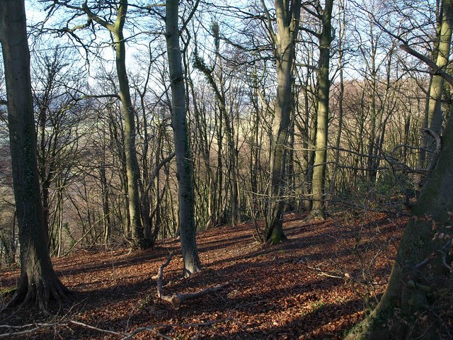
Conygre Wood is a picturesque woodland located in Gloucestershire, England. Covering an area of approximately 50 acres, it is situated near the village of Old Sodbury, just a short distance from the larger town of Chipping Sodbury.

The woodland is predominantly composed of native broadleaf trees, such as oak, beech, and ash, which form a dense canopy overhead. This creates a cool and tranquil atmosphere, making it an ideal place for nature lovers and walkers to explore.

Conygre Wood is home to a diverse range of wildlife, including several species of birds, mammals, and insects. Visitors may spot woodpeckers, deer, and squirrels as they traverse the various trails that wind through the wood. The woodland floor is adorned with a colorful array of wildflowers and plants, further enhancing its natural beauty.

In addition to its natural attractions, Conygre Wood also boasts some historical significance. The wood is believed to have been part of the hunting grounds of the medieval kings of England and was once a part of the larger hunting forest known as Kingswood. Today, remnants of the royal hunting lodge can still be found within the woodland, serving as a reminder of its storied past.

Conygre Wood offers visitors a peaceful retreat from the hustle and bustle of daily life. Whether it's a leisurely stroll, birdwatching, or simply enjoying the serenity of nature, this charming woodland provides a tranquil escape for all who visit.

If you have any feedback on the listing, please let us know in the comments section below.
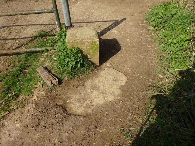
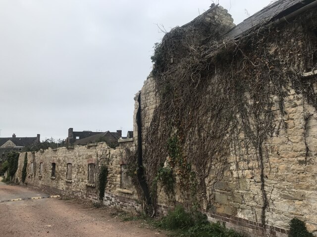
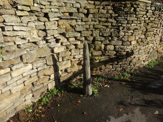
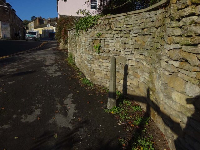
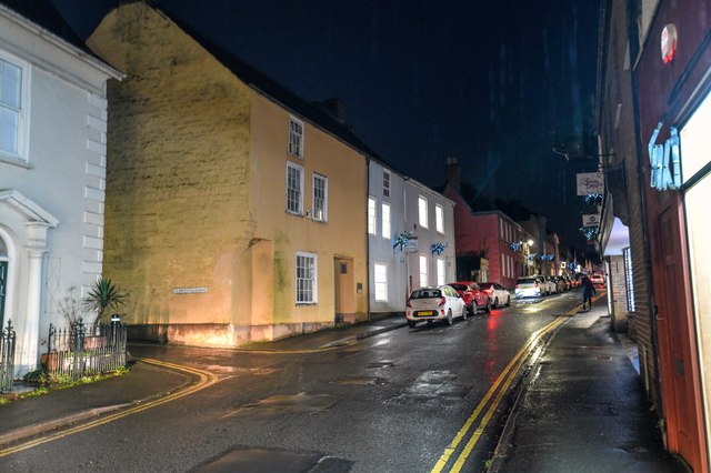
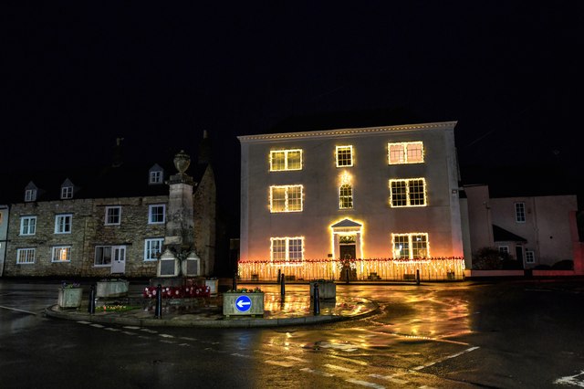
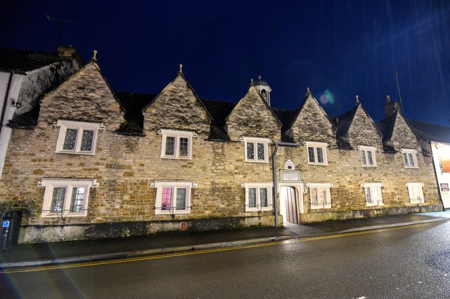
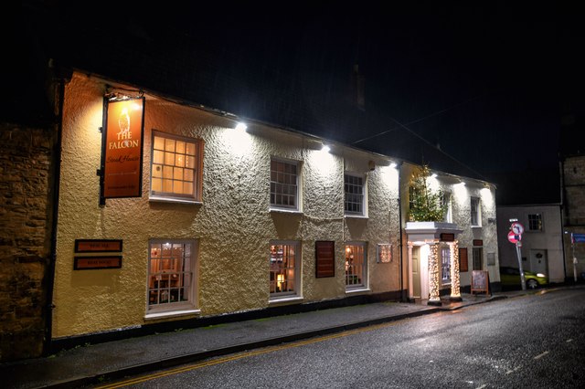
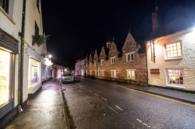
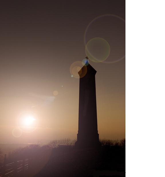
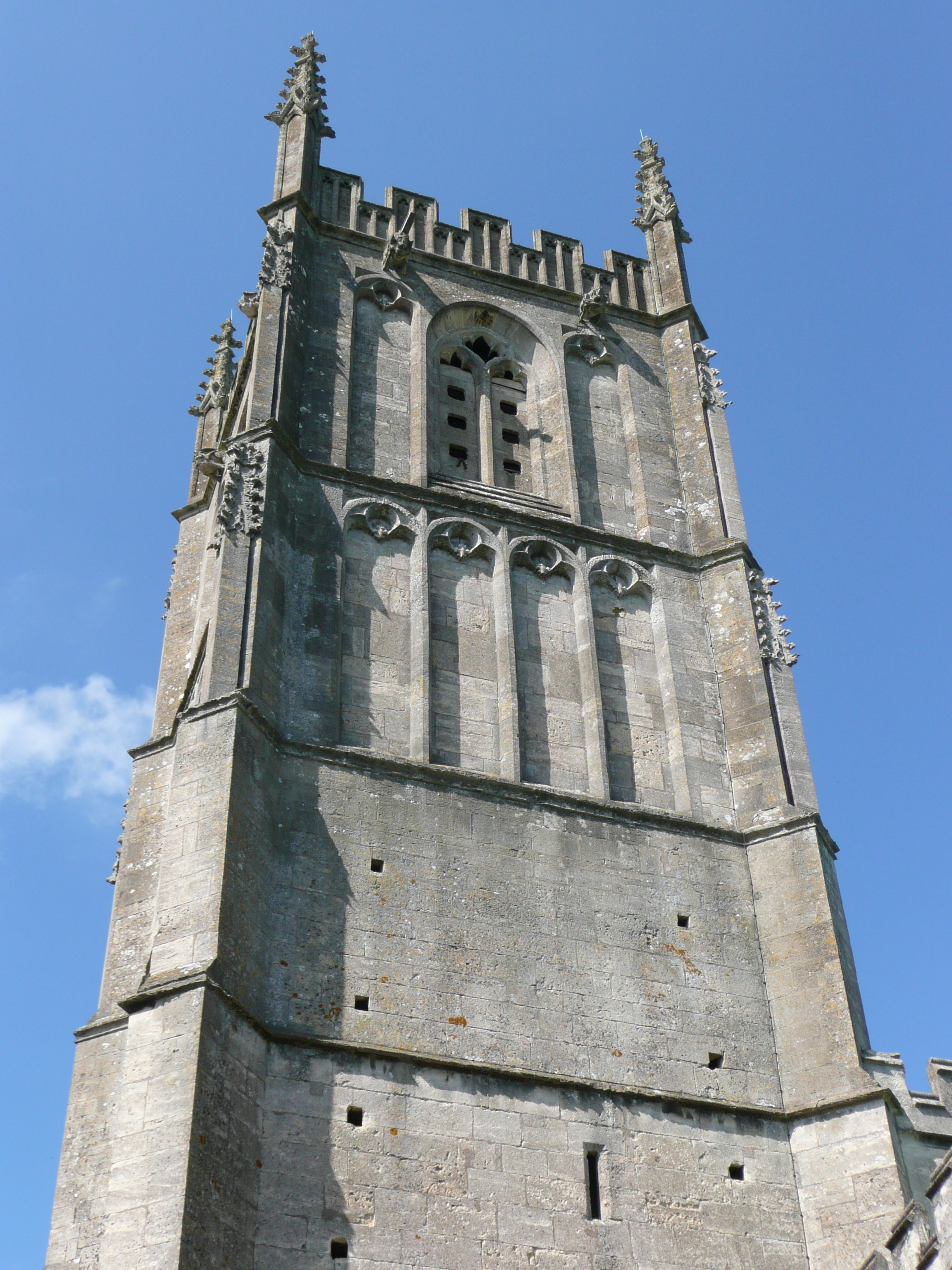
Conygre Wood Images

Images are sourced within 2km of 51.645876/-2.3533846 or Grid Reference ST7594. Thanks to Geograph Open Source API. All images are credited.

Cut Mark: Wotton-under-Edge, Long Street, Carlton House Cut bench mark on the frontage of the house.  See <a title="https://www.geograph.org.uk/photo/7070432" href="https://www.geograph.org.uk/photo/7070432">Link</a> for a wider view and <span class="nowrap"><a title="https://www.bench-marks.org.uk/bm59141" rel="nofollow ugc noopener" href="https://www.bench-marks.org.uk/bm59141">Link</a><img style="margin-left:2px;" alt="External link" title="External link - shift click to open in new window" src="https://s1.geograph.org.uk/img/external.png" width="10" height="10"/></span> for details of the mark.
Cut Mark: Wotton-under-Edge, Long Street, Carlton House
Cut bench mark on the frontage of the house. See Link for a wider view and LinkExternal link for details of the mark.
Carlton House, Long Street There is a cut bench mark on the frontage of the house.  See <a title="https://www.geograph.org.uk/photo/7070429" href="https://www.geograph.org.uk/photo/7070429">Link</a> for a wider view and <span class="nowrap"><a title="https://www.bench-marks.org.uk/bm59141" rel="nofollow ugc noopener" href="https://www.bench-marks.org.uk/bm59141">Link</a><img style="margin-left:2px;" alt="External link" title="External link - shift click to open in new window" src="https://s1.geograph.org.uk/img/external.png" width="10" height="10"/></span> for details of the mark.
Carlton House, Long Street
There is a cut bench mark on the frontage of the house. See Link for a wider view and LinkExternal link for details of the mark.
Cut Mark: Wotton-under-Edge, Orchard Street / Long Street Cut mark on the Orchard Street face of a building on the corner of Orchard Street and Long Street.  See <span class="nowrap"><a title="https://www.bench-marks.org.uk/bm102245" rel="nofollow ugc noopener" href="https://www.bench-marks.org.uk/bm102245">Link</a><img style="margin-left:2px;" alt="External link" title="External link - shift click to open in new window" src="https://s1.geograph.org.uk/img/external.png" width="10" height="10"/></span> for details of the mark.
Cut Mark: Wotton-under-Edge, Orchard Street / Long Street
Cut mark on the Orchard Street face of a building on the corner of Orchard Street and Long Street. See LinkExternal link for details of the mark.
Stone Stile, Wotton-under-Edge A stone slab from the stile, now a "Fallen Idle". On Gloucestershire bridleway CWE95 looking South, the view looking North is <a href="https://www.geograph.org.uk/photo/7127050">ST7594 : Stone Stile, Wotton-under-Edge</a>.
Stone Stile, Wotton-under-Edge
A stone slab from the stile, now a "Fallen Idle". On Gloucestershire bridleway CWE95 looking South, the view looking North is ST7594 : Stone Stile, Wotton-under-Edge.
Stone Stile, Wotton-under-Edge A stone slab from the stile, now a "Fallen Idle". On Gloucestershire bridleway CWE95 looking North, the view looking South is <a href="https://www.geograph.org.uk/photo/7127049">ST7594 : Stone Stile, Wotton-under-Edge</a>.
Stone Stile, Wotton-under-Edge
A stone slab from the stile, now a "Fallen Idle". On Gloucestershire bridleway CWE95 looking North, the view looking South is ST7594 : Stone Stile, Wotton-under-Edge.
Derelict buildings
Derelict buildings
Stone Stile, Wotton under Edge A gatepost and squeeze stile on Gloucestershire footpath CWE90 looking East. It would allow people to pass but not horses or cattle. Sheep might have been able to traverse. There was originally a gate at this point. The alternative view looking NW is <a href="https://www.geograph.org.uk/photo/7349021">ST7593 : Stone Stile, Wotton under Edge</a>.
Stone Stile, Wotton under Edge
A gatepost and squeeze stile on Gloucestershire footpath CWE90 looking East. It would allow people to pass but not horses or cattle. Sheep might have been able to traverse. There was originally a gate at this point. The alternative view looking NW is ST7593 : Stone Stile, Wotton under Edge.
Stone Stile, Wotton under Edge A gatepost and squeeze stile on Gloucestershire footpath CWE90 looking NW. It would allow people to pass but not horses or cattle. Sheep might have been able to traverse. There was originally a gate at this point. The alternative view looking East is <a href="https://www.geograph.org.uk/photo/7349020">ST7593 : Stone Stile, Wotton under Edge</a>.
Stone Stile, Wotton under Edge
A gatepost and squeeze stile on Gloucestershire footpath CWE90 looking NW. It would allow people to pass but not horses or cattle. Sheep might have been able to traverse. There was originally a gate at this point. The alternative view looking East is ST7593 : Stone Stile, Wotton under Edge.
Wotton-Under-Edge : Bear Street Looking along Bear Street from the road junction.
Wotton-Under-Edge : Bear Street
Looking along Bear Street from the road junction.
Wotton-Under-Edge: Ludgate Hill Looking along Ludgate Hill.
Wotton-Under-Edge: Ludgate Hill
Looking along Ludgate Hill.
Wotton-Under-Edge : Long Street Looking along Long Street.
Wotton-Under-Edge : Long Street
Looking along Long Street.
Wotton-Under-Edge : Church Street Looking along Church Street.
Wotton-Under-Edge : Church Street
Looking along Church Street.
Wotton-Under-Edge : School Road Looking along School Road from the junction at Church Street.
Wotton-Under-Edge : School Road
Looking along School Road from the junction at Church Street.
Wotton-Under-Edge : Roundabout A roundabout in the road with the war memorial and Edbrooke House in view.
Wotton-Under-Edge : Roundabout
A roundabout in the road with the war memorial and Edbrooke House in view.
Wotton-Under-Edge : Roundabout Almshouses. Part 1638 (dated) part 1712 and today a Grade II listed building.
Wotton-Under-Edge : Roundabout
Almshouses. Part 1638 (dated) part 1712 and today a Grade II listed building.
Wotton-Under-Edge : The Falcon Steakhouse The Falcon Steakhouse is a traditional Cotswold Steakhouse located in the picturesque town of Wotton-under-Edge.
Wotton-Under-Edge : The Falcon Steakhouse
The Falcon Steakhouse is a traditional Cotswold Steakhouse located in the picturesque town of Wotton-under-Edge.
Wotton-Under-Edge : Church Street Looking along Church Street.
Wotton-Under-Edge : Church Street
Looking along Church Street.
North Nibley Monument
Show me another place!

Conygre Wood is located at Grid Ref: ST7594 (Lat: 51.645876, Lng: -2.3533846)

Administrative County: Gloucestershire

District: Stroud

Police Authority: Gloucestershire

What 3 Words

///trio.vowel.anchovies. Near Wotton-under-Edge, Gloucestershire

Related Wikis

Wotton Hill

Wotton Hill (grid reference ST753942) is a hill on the edge of the Cotswold Hills in Gloucestershire, England, 0.5 miles (0.80 km) north of Wotton-under...

Wotton under Edge Friary

Wotton under Edge Friary was a friary of the Crutched Friars in Wotton-under-Edge, Gloucestershire, England. It was founded in 1347. == References ==

St Mary the Virgin, Wotton-under-Edge

One of the oldest churches in its area, St Mary's was consecrated on 19 August 1283 by Bishop of Worcester, Godfrey Giffard. It is believed that most of...

Coombe Hill (Cotswolds)

Coombe Hill (grid reference ST765942) is a 15.4-hectare (38-acre) biological Site of Special Scientific Interest in Gloucestershire, notified in 1994.The...

Wotton-under-Edge

Wotton-under-Edge is a market town and civil parish in the Stroud district of Gloucestershire, England. Near the southern fringe of the Cotswolds, the...

Ancient Ram Inn

The Ancient Ram Inn is a Grade II* listed building and a former pub located in Wotton-under-Edge, a market town within the Stroud district of Gloucestershire...

Wotton-under-Edge Town Hall

Wotton-under-Edge Town Hall is a municipal building in Market Street, Wotton-under-Edge, Gloucestershire, England. The structure, which operates as a community...

Bradley, Gloucestershire

Bradley is a small village in the Stroud District, in the county of Gloucestershire, England.Also part of the village is the hamlet of Bradley Green, with...

Nearby Amenities

Located within 500m of 51.645876,-2.3533846
Barrier: stile
Stile: stepover
Lat/Long: 51.6472164/-2.3504674
Barrier: kissing_gate
Lat/Long: 51.6464789/-2.3515386
Barrier: stile
Material: wood
Stile: stepover
Lat/Long: 51.6470114/-2.3517434
Barrier: stile
Material: wood
Step Count: 1
Stile: stepover
Lat/Long: 51.6447548/-2.3475058
Barrier: kissing_gate
Lat/Long: 51.6475909/-2.3590951
Direction: 120
Tourism: viewpoint
Lat/Long: 51.642114/-2.3572846
Passing Place
Lat/Long: 51.6473487/-2.3498927
Bench
Backrest: no
Material: wood
Lat/Long: 51.6420908/-2.3572912
Man Made: mast
Tower Construction: freestanding
Tower Type: communication
Lat/Long: 51.6454967/-2.3569011
Barrier: kissing_gate
Lat/Long: 51.6436252/-2.3503144
Bench
Backrest: yes
Colour: black
Material: metal
Lat/Long: 51.6435075/-2.3506051
Bench
Backrest: yes
Colour: black
Material: metal
Lat/Long: 51.643583/-2.3506323
Bench
Backrest: yes
Colour: black
Material: metal
Lat/Long: 51.6435551/-2.350622
Direction: W
Tourism: viewpoint
Lat/Long: 51.6435028/-2.3506639
Bench
Backrest: yes
Material: wood
Lat/Long: 51.643437/-2.3505792
Material: wood
Power: pole
Transformer: distribution
Lat/Long: 51.6443692/-2.3484915
Material: wood
Power: pole
Transformer: distribution
Lat/Long: 51.6444627/-2.3479056
Material: wood
Power: pole
Lat/Long: 51.6446036/-2.3471668
Barrier: stile
Stile: stepover
Wheelchair: no
Lat/Long: 51.6442037/-2.349348
Barrier: stile
Material: wood
Stile: stepover
Wheelchair: no
Lat/Long: 51.6465241/-2.3514122
Waste Basket
Lat/Long: 51.6436708/-2.350313
Grit Bin
Lat/Long: 51.6437983/-2.3502251
Waste Basket
Waste: dog_excrement
Lat/Long: 51.6449635/-2.3562578
Barrier: cycle_barrier
Bicycle: dismount
Cycle Barrier: single
Cycle Barrier Installation: fixed
Wheelchair: no
Lat/Long: 51.6427439/-2.3569419
The data included in this document is from www.openstreetmap.org. The data is made available under ODbL.

Have you been to Conygre Wood?

Leave your review of Conygre Wood below (or comments, questions and feedback).