Shuffers Wood
Wood, Forest in Staffordshire Newcastle-under-Lyme
England
Shuffers Wood
Shugborough Estate, located in Staffordshire, England, is home to the enchanting Shugborough Wood. Nestled within this vast estate is Shuffers Wood, a picturesque forest that spans across approximately 900 acres. The wood is renowned for its natural beauty and diverse flora and fauna.
Shuffers Wood boasts a remarkable variety of tree species, including oak, birch, beech, and coniferous trees, which create a lush and vibrant landscape throughout the year. The woodland floor is adorned with a plethora of wildflowers, such as bluebells, primroses, and wood anemones, adding bursts of color to the woodland scenery.
The forest is intersected by numerous well-maintained walking trails, inviting visitors to explore its tranquil surroundings. These trails meander through the wood, offering breathtaking views of the surrounding countryside and the opportunity to spot a variety of wildlife, including deer, foxes, and a wide array of bird species.
Shuffers Wood also holds historical significance, as it is believed to have been part of the ancient Needwood Forest and was once a Royal hunting ground. Today, visitors can still find remnants of the past, such as old boundary walls and the occasional ancient tree.
The woodland is managed by the National Trust, ensuring its preservation and accessibility for future generations. It is a popular destination for nature lovers, hikers, and families seeking a peaceful retreat in nature. Shuffers Wood truly offers a delightful escape from the hustle and bustle of modern life, providing visitors with an opportunity to immerse themselves in the beauty of Staffordshire's natural heritage.
If you have any feedback on the listing, please let us know in the comments section below.
Shuffers Wood Images
Images are sourced within 2km of 53.026263/-2.3646146 or Grid Reference SJ7547. Thanks to Geograph Open Source API. All images are credited.


Shuffers Wood is located at Grid Ref: SJ7547 (Lat: 53.026263, Lng: -2.3646146)
Administrative County: Staffordshire
District: Newcastle-under-Lyme
Police Authority: Staffordshire
What 3 Words
///commoners.zealous.mugs. Near Betley, Staffordshire
Nearby Locations
Related Wikis

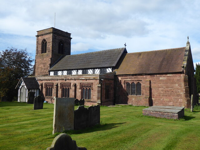
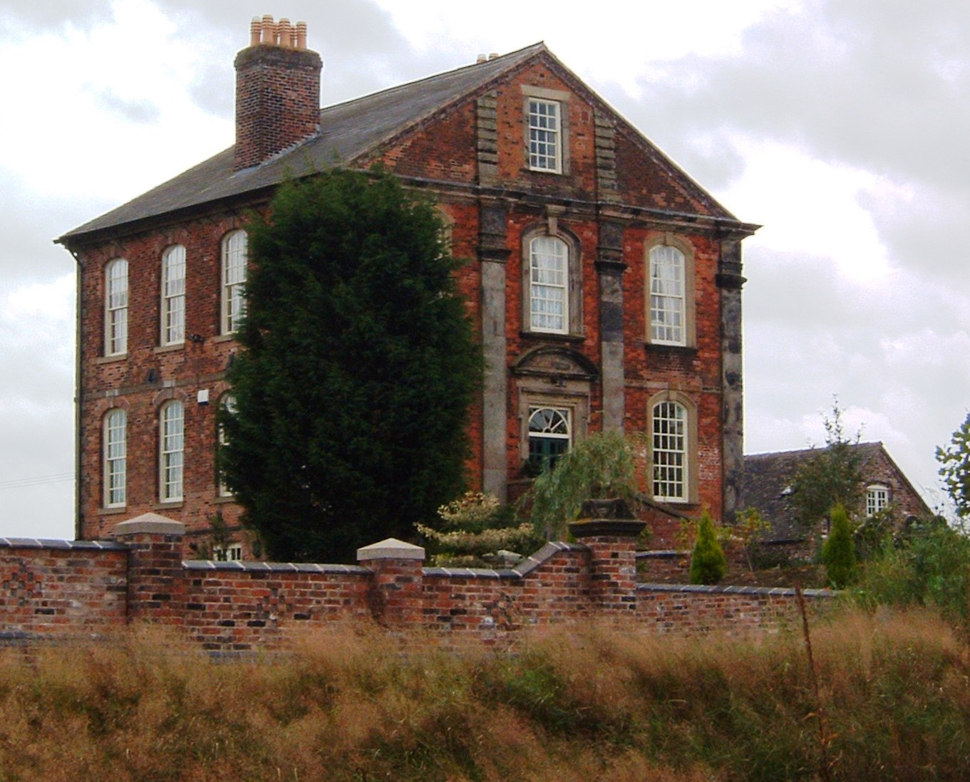
Betley Court
Betley Court is an 18th-century country house in the ancient village of Betley, near Newcastle-under-Lyme, Staffordshire. It is a Grade II* listed building...
Wrinehill
Wrinehill, also called Checkley cum Wrinehill, is a village in the north-west of Staffordshire on the A531 road lying adjacent to the southern border of...

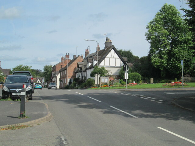
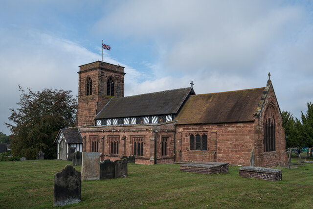
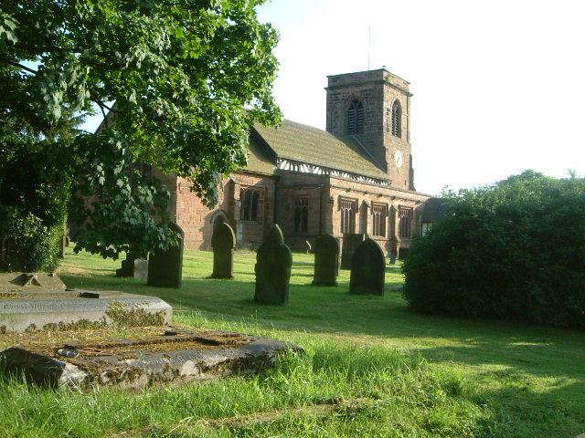
Betley
Betley is a village and civil parish in the borough of Newcastle-under-Lyme in Staffordshire, England, about halfway between the town of Newcastle-under...

Betley Road railway station
Betley Road was a station on the London and North Western Railway serving Betley, Staffordshire. It opened in 1875 and closed in 1945. == References... ==

Checkley cum Wrinehill
Checkley cum Wrinehill is a former civil parish, now in the parish of Doddington and District, in the unitary authority area of Cheshire East and the ceremonial...

Balterley Green
Balterley Green is a village in Staffordshire, England. The population at the 2011 population can be found under Balterley

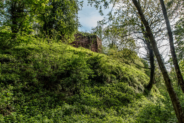
Heighley Castle
Heighley Castle (or Heleigh Castle) is a ruined medieval castle near Madeley, Staffordshire. The castle was completed by the Audley family in 1233 and...

Black Firs and Cranberry Bog
Black Firs and Cranberry Bog is a nature reserve of the Staffordshire Wildlife Trust, adjacent to Balterley Heath and about 1 mile (1.6 km) north of the...
Nearby Amenities
Located within 500m of 53.026263,-2.3646146Have you been to Shuffers Wood?
Leave your review of Shuffers Wood below (or comments, questions and feedback).