Little Conygre Wood
Wood, Forest in Gloucestershire Stroud
England
Little Conygre Wood
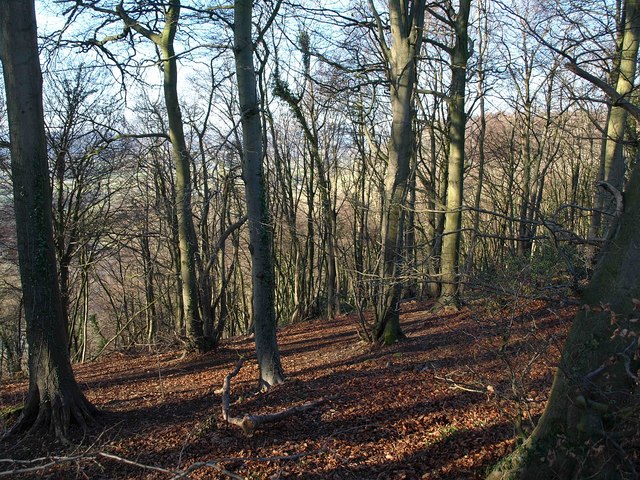
Little Conygre Wood is a charming woodland located in Gloucestershire, England. Covering an area of approximately 10 acres, it is a small yet enchanting forest that offers visitors a peaceful and serene retreat from the bustle of everyday life.
The wood is predominantly made up of broadleaf trees, including oak, beech, and ash, which create a dense canopy that provides shade and shelter throughout the year. The forest floor is adorned with a variety of wildflowers, such as bluebells and primroses, adding bursts of color to the landscape during the spring months.
Little Conygre Wood is home to a diverse range of wildlife, making it a popular destination for nature enthusiasts and birdwatchers. Visitors may be lucky enough to spot various bird species, including woodpeckers, owls, and thrushes, as well as small mammals like squirrels and foxes. The wood is also known for its insect life, with butterflies and dragonflies fluttering among the trees.
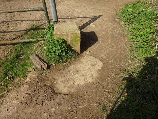
There are several well-maintained footpaths that meander through the wood, allowing visitors to explore its beauty at their own pace. These paths lead to a tranquil pond, where visitors can sit and enjoy the serene surroundings or observe the aquatic life.
Little Conygre Wood is a haven for those seeking tranquility and a connection with nature. Its natural beauty, diverse wildlife, and peaceful atmosphere make it an idyllic destination for a leisurely stroll, a picnic, or simply some time spent in contemplation amidst the enchanting Gloucestershire countryside.
If you have any feedback on the listing, please let us know in the comments section below.
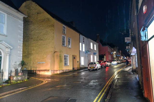
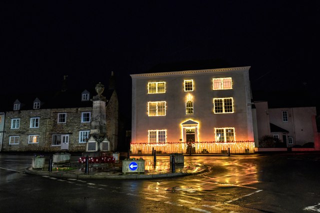
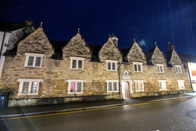
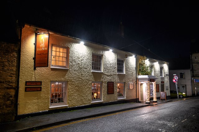
Little Conygre Wood Images
Images are sourced within 2km of 51.645958/-2.3498878 or Grid Reference ST7594. Thanks to Geograph Open Source API. All images are credited.


Little Conygre Wood is located at Grid Ref: ST7594 (Lat: 51.645958, Lng: -2.3498878)
Administrative County: Gloucestershire
District: Stroud
Police Authority: Gloucestershire
What 3 Words
///utter.flasks.truckload. Near Wotton-under-Edge, Gloucestershire
Nearby Locations
Related Wikis
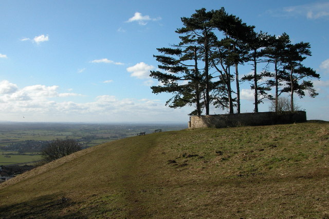
Wotton Hill
Wotton Hill (grid reference ST753942) is a hill on the edge of the Cotswold Hills in Gloucestershire, England, 0.5 miles (0.80 km) north of Wotton-under...

Coombe Hill (Cotswolds)
Coombe Hill (grid reference ST765942) is a 15.4-hectare (38-acre) biological Site of Special Scientific Interest in Gloucestershire, notified in 1994.The...
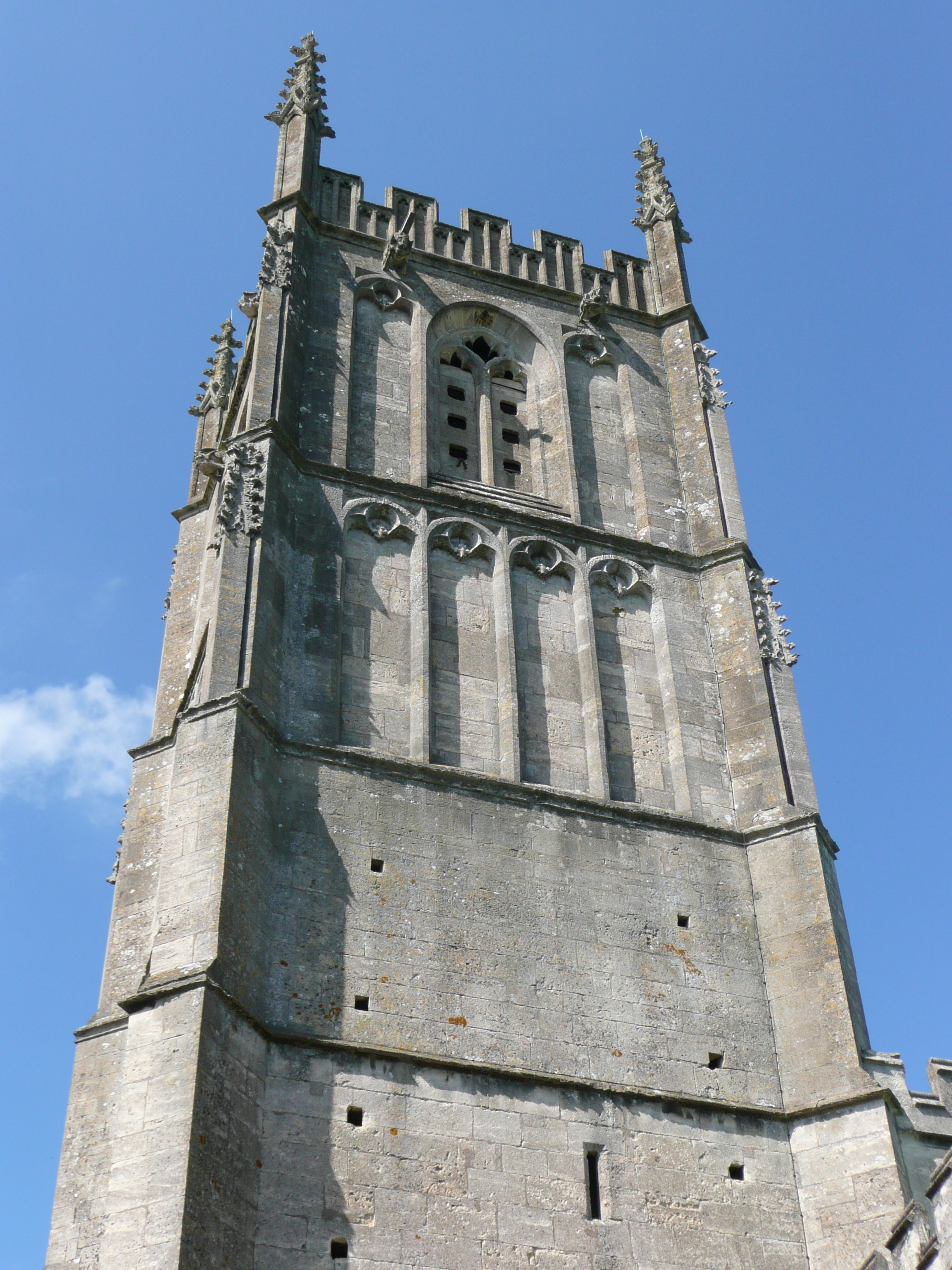
St Mary the Virgin, Wotton-under-Edge
One of the oldest churches in its area, St Mary's was consecrated on 19 August 1283 by Bishop of Worcester, Godfrey Giffard. It is believed that most of...

Wotton under Edge Friary
Wotton under Edge Friary was a friary of the Crutched Friars in Wotton-under-Edge, Gloucestershire, England. It was founded in 1347. == References ==

Wotton-under-Edge
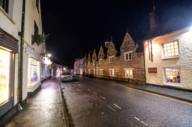
Wotton-under-Edge is a market town and civil parish in the Stroud district of Gloucestershire, England. Near the southern fringe of the Cotswolds, the...

Ancient Ram Inn
The Ancient Ram Inn is a Grade II* listed building and a former pub located in Wotton-under-Edge, a market town within the Stroud district of Gloucestershire...

Coombe, Gloucestershire
Coombe is a settlement in the English county of Gloucestershire. It is adjacent to the town of Wotton-under-Edge. The town name can also be found spelled...

Wotton-under-Edge Town Hall
Wotton-under-Edge Town Hall is a municipal building in Market Street, Wotton-under-Edge, Gloucestershire, England. The structure, which operates as a community...
Nearby Amenities
Located within 500m of 51.645958,-2.3498878Have you been to Little Conygre Wood?
Leave your review of Little Conygre Wood below (or comments, questions and feedback).