Wotton-under-Edge
Heritage Site in Gloucestershire Stroud
England
Wotton-under-Edge
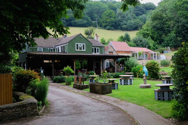
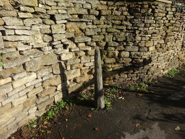
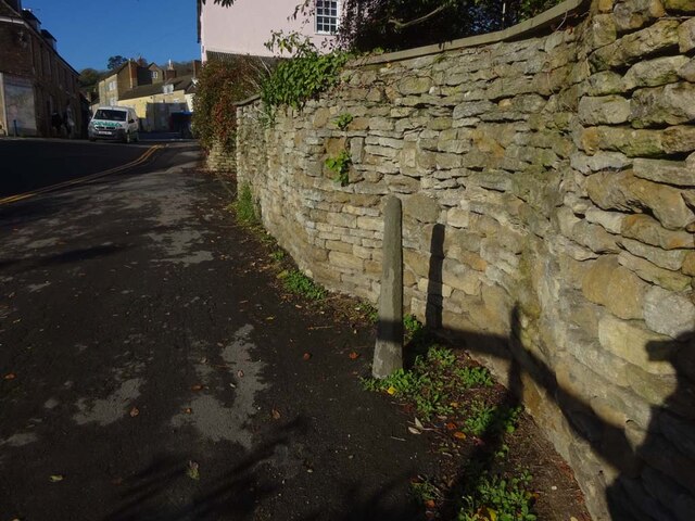
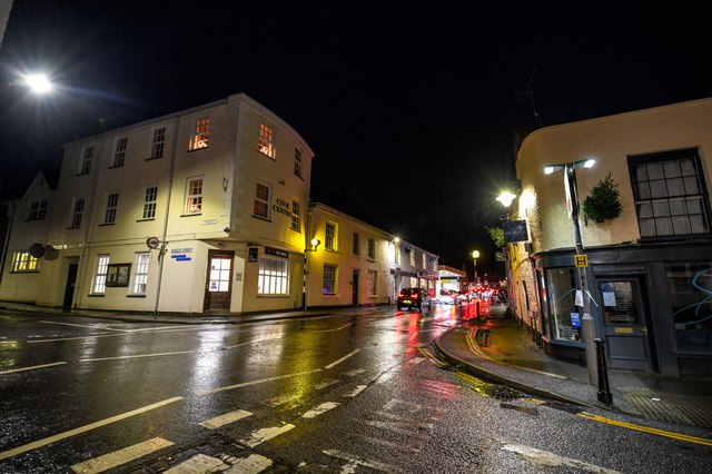
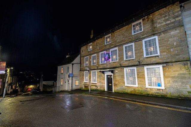
Wotton-under-Edge is a small market town located in the Stroud district of Gloucestershire, England. Nestled in the southern Cotswold Hills, it sits on the edge of the Cotswolds Area of Outstanding Natural Beauty. With a rich history dating back to the Anglo-Saxon era, Wotton-under-Edge is renowned for its picturesque scenery, architectural heritage, and vibrant community.
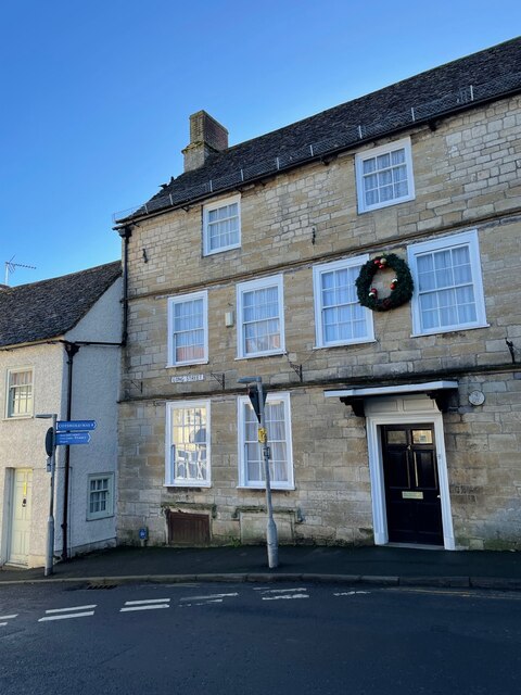
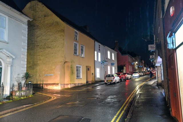
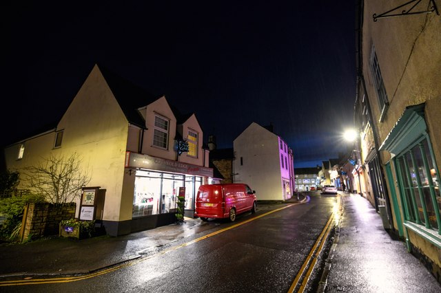
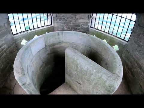
The town is home to several historic buildings, including the 14th-century St. Mary the Virgin Church, with its impressive Perpendicular Gothic architecture. The town center itself has retained much of its old-world charm, with many buildings dating back to the 16th and 17th centuries. The Market House, a Grade I listed building, stands as a prominent feature in the town square and is a testament to the town's importance as a market hub in the past.
Wotton-under-Edge is also notable for being the birthplace of the renowned English poet, Alexander Pope, who was born in a house that still stands in the town. Another famous resident was Katharine Lady Berkeley's School, one of the oldest educational institutions in the country, founded in 1384.
Today, Wotton-under-Edge is a thriving community with a range of amenities and attractions. The Wotton Heritage Centre provides visitors with an insight into the town's past, showcasing artifacts and documents that highlight its historical significance. The town also boasts a variety of independent shops, cafes, and restaurants, giving it a unique character that attracts both locals and tourists alike. With its stunning countryside surroundings and rich heritage, Wotton-under-Edge is a must-visit destination for history enthusiasts and nature lovers alike.
If you have any feedback on the listing, please let us know in the comments section below.
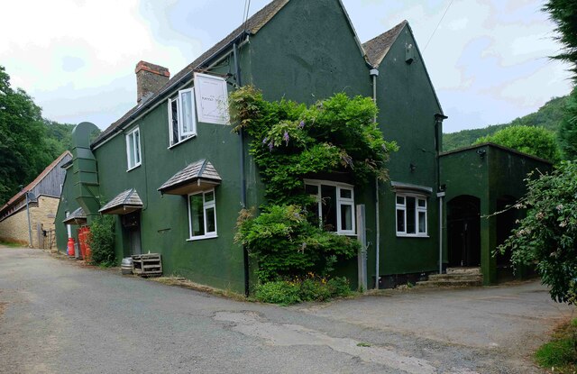
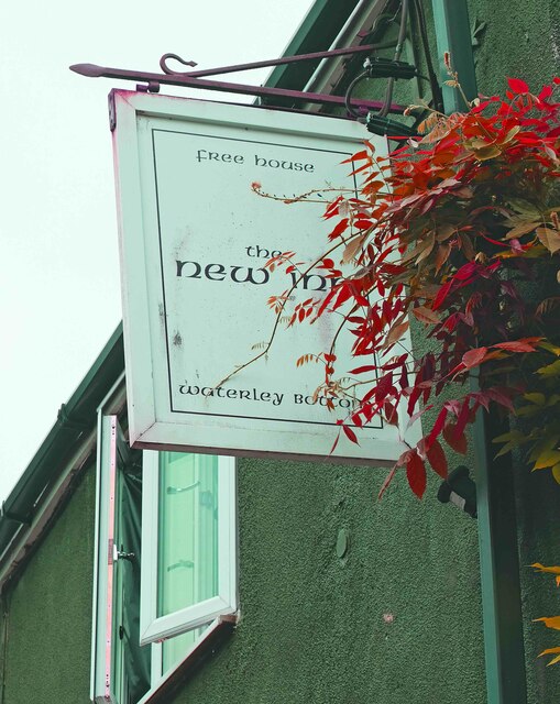
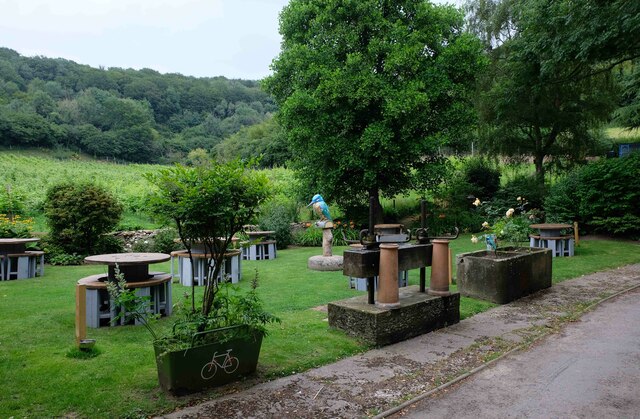
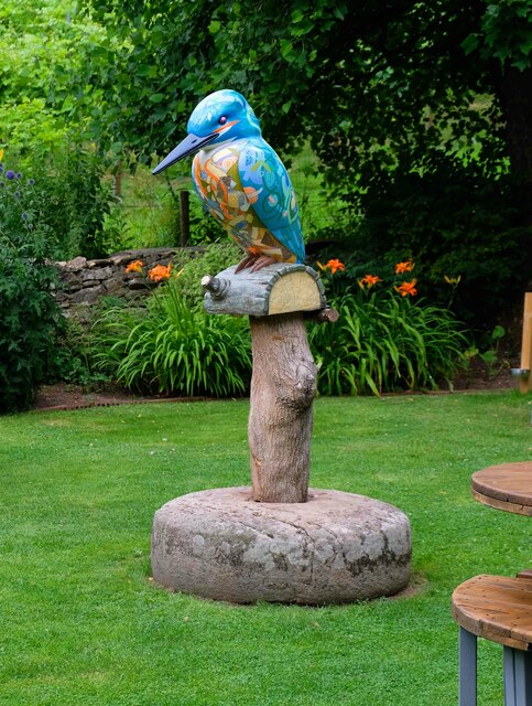
Wotton-under-Edge Images
Images are sourced within 2km of 51.649/-2.359 or Grid Reference ST7594. Thanks to Geograph Open Source API. All images are credited.
Wotton-under-Edge is located at Grid Ref: ST7594 (Lat: 51.649, Lng: -2.359)
Administrative County: Gloucestershire
District: Stroud
Police Authority: Gloucestershire
What 3 Words
///matter.irony.configure. Near Wotton-under-Edge, Gloucestershire
Nearby Locations
Related Wikis
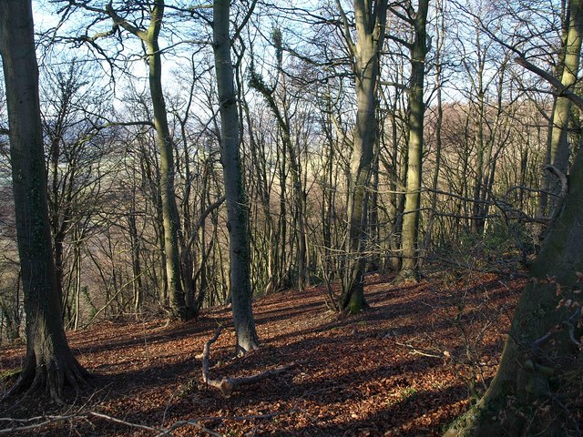
Wotton Hill
Wotton Hill (grid reference ST753942) is a hill on the edge of the Cotswold Hills in Gloucestershire, England, 0.5 miles (0.80 km) north of Wotton-under...

Bradley, Gloucestershire
Bradley is a small village in the Stroud District, in the county of Gloucestershire, England.Also part of the village is the hamlet of Bradley Green, with...

Bournstream
Bournstream is a village located in Gloucestershire, England.
Wotton under Edge Friary
Wotton under Edge Friary was a friary of the Crutched Friars in Wotton-under-Edge, Gloucestershire, England. It was founded in 1347. == References ==

Coombe Hill (Cotswolds)
Coombe Hill (grid reference ST765942) is a 15.4-hectare (38-acre) biological Site of Special Scientific Interest in Gloucestershire, notified in 1994.The...
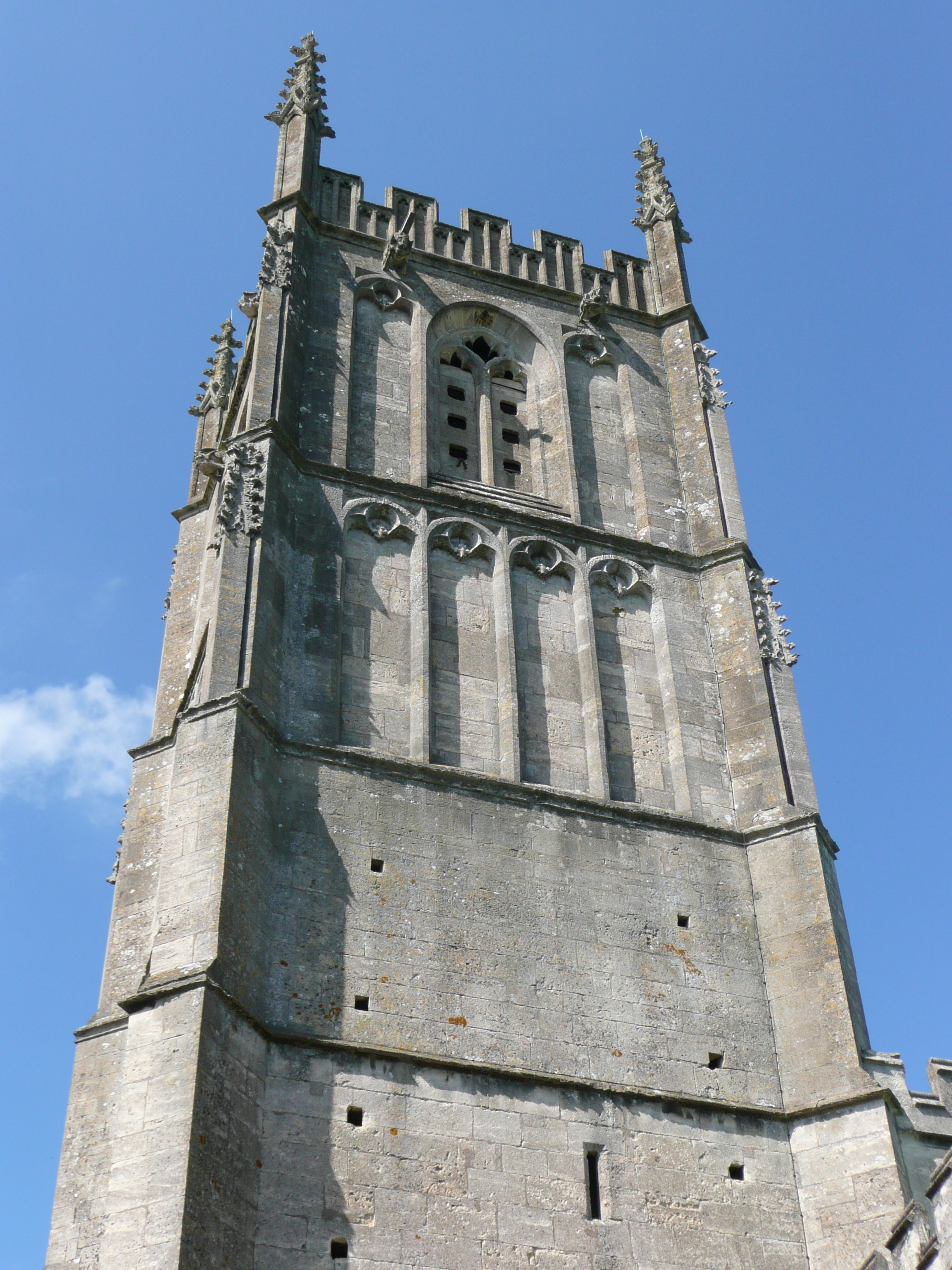
St Mary the Virgin, Wotton-under-Edge
One of the oldest churches in its area, St Mary's was consecrated on 19 August 1283 by Bishop of Worcester, Godfrey Giffard. It is believed that most of...

Wotton-under-Edge Town Hall
Wotton-under-Edge Town Hall is a municipal building in Market Street, Wotton-under-Edge, Gloucestershire, England. The structure, which operates as a community...

Nibley Knoll
Nibley Knoll (grid reference ST744956) is a 3.2-hectare (7.9-acre) geological Site of Special Scientific Interest in Gloucestershire, notified in 1974...
Related Videos

Walking Paddy in #Tyndale woods in North Nibley
Paddy's second autumn. He's now 16 months old. He used up his off lead trust when he ran off after another dog. He's still ...


Walk to monument
Trip from North Nibley up to the William Tyndale monument, along through the woods to end on Wooton Hill. #nature #walking ...
Nearby Amenities
Located within 500m of 51.649,-2.359Have you been to Wotton-under-Edge?
Leave your review of Wotton-under-Edge below (or comments, questions and feedback).