Westridge Wood

Wood, Forest in Gloucestershire Stroud

England

Westridge Wood

The New Inn (1), Waterley Bottom, near Dursley, Glos Reached through a network of single track lanes, this public house has the feeling of being in the middle of nowhere. It is in fact not far from Dursley and also from the village of North Nibley. It is near the end of a cul-de-sac lane, although from the end there is a public footpath up Breakheart Hill. A good map or a Sat Nav system is recommended to find this pub, which has restricted opening hours. They are shown on its website.

Originally a farm cottage which served cider to workers in nearby industrial establishments. It seems to have become a pub around 1845. It still carries a range of ciders and also real ale etc. Food is served (see website) and there is a very attractive garden, and a car park.

<a href="https://www.geograph.org.uk/photo/6930531">ST7596 : The New Inn (2) - sign, Waterley Bottom, near Dursley, Glos</a>.
<a href="https://www.geograph.org.uk/photo/6930540">ST7596 : The New Inn (3) - garden, Waterley Bottom, near Dursley, Glos</a>.
<a href="https://www.geograph.org.uk/photo/6930544">ST7596 : The New Inn (4) - sculpture in garden, Waterley Bottom, near Dursley, Glos</a>.
<a href="https://www.geograph.org.uk/photo/6930554">ST7596 : The New Inn (5) - rear view, Waterley Bottom, near Dursley, Glos</a>.
The New Inn (1), Waterley Bottom, near Dursley, Glos Credit: P L Chadwick

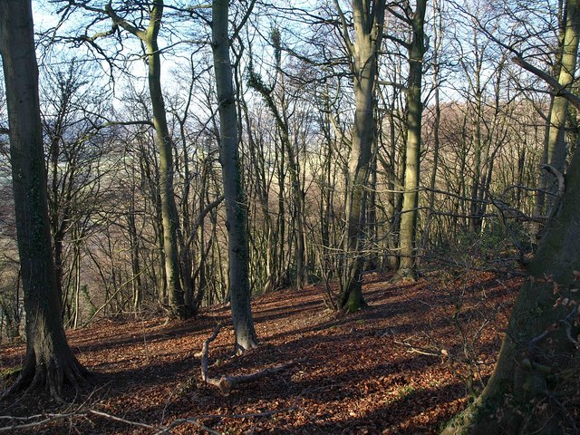
Westridge Wood is a picturesque woodland located in Gloucestershire, England. Situated within the larger Forest of Dean, this woodland is known for its natural beauty and diverse range of flora and fauna. It covers an area of approximately 100 acres and is a popular destination for nature lovers and outdoor enthusiasts.

The woodland is predominantly composed of broadleaf trees, including oak, beech, and ash, which create a dense canopy overhead. These trees provide an ideal habitat for a variety of wildlife, such as deer, foxes, and numerous species of birds. The forest floor is covered in a thick carpet of ferns, wildflowers, and mosses, adding to the enchanting atmosphere of the wood.

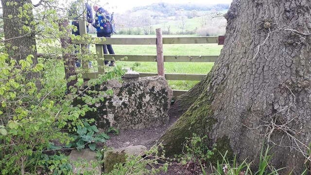
There are several well-maintained walking trails throughout Westridge Wood, allowing visitors to explore its beauty at their own pace. These trails vary in difficulty, catering to both casual strollers and more experienced hikers. Along the way, visitors can discover hidden ponds, babbling brooks, and even the remnants of an ancient Roman road that once passed through the area.

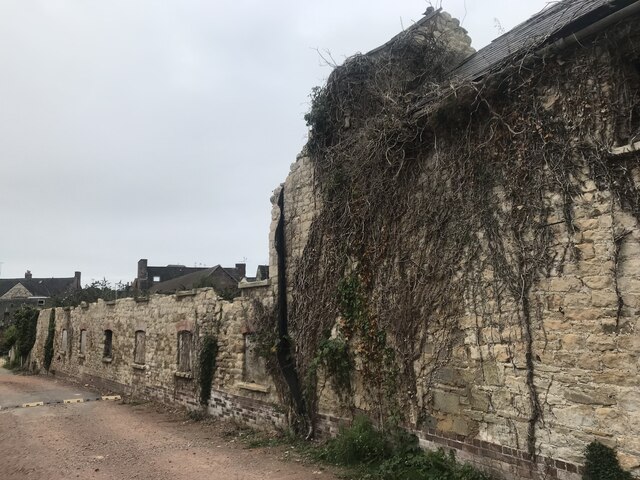
Westridge Wood is also home to a number of historical and archaeological sites. Ruins of old stone cottages and abandoned iron mines can be found scattered throughout the woodland, providing a glimpse into the area's rich past.

Overall, Westridge Wood offers a tranquil and immersive experience in the heart of Gloucestershire's natural landscape. Whether it's for a peaceful walk, wildlife spotting, or historical exploration, this wood is a must-visit destination for nature enthusiasts and history buffs alike.

If you have any feedback on the listing, please let us know in the comments section below.

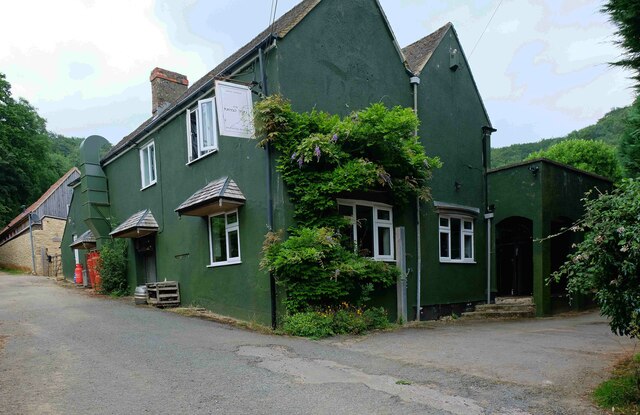
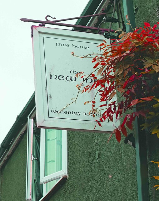
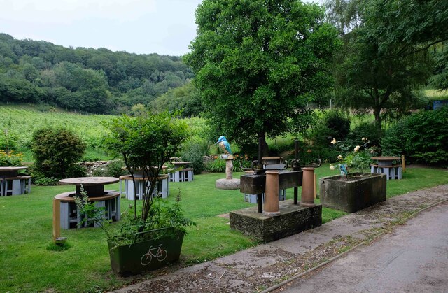
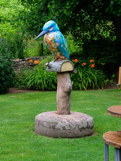
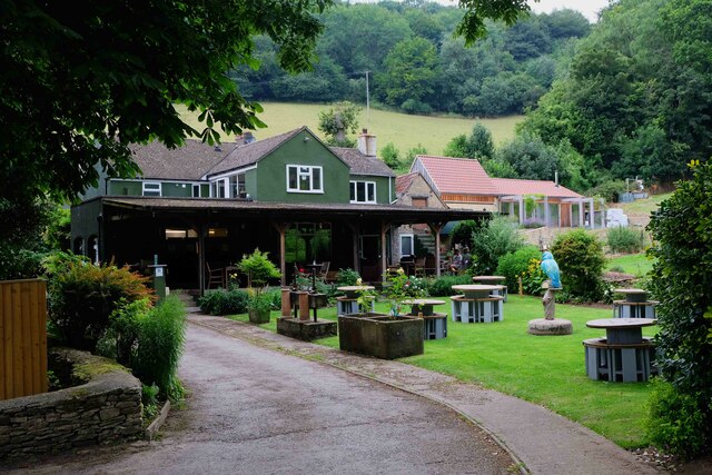
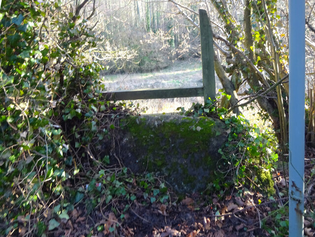
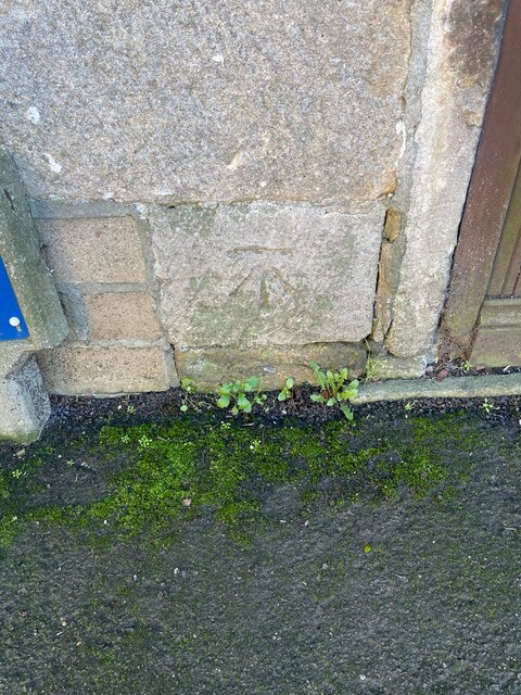
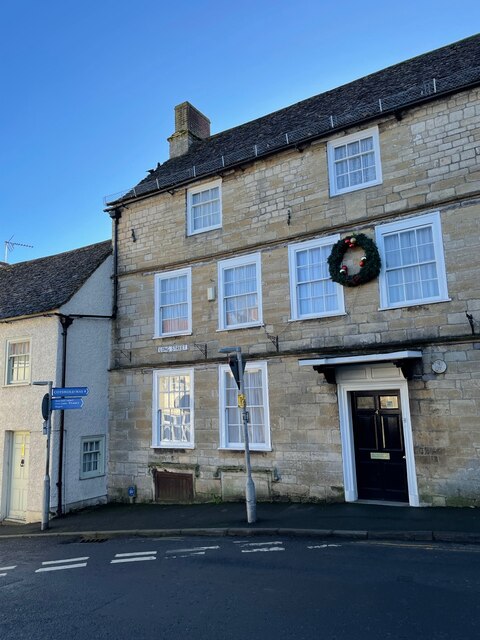
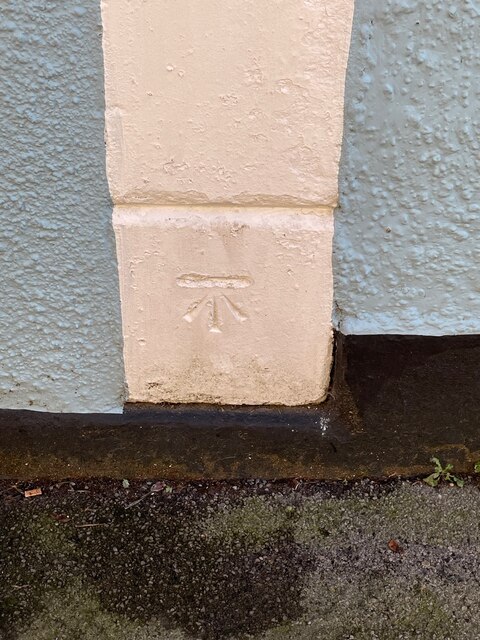
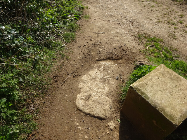
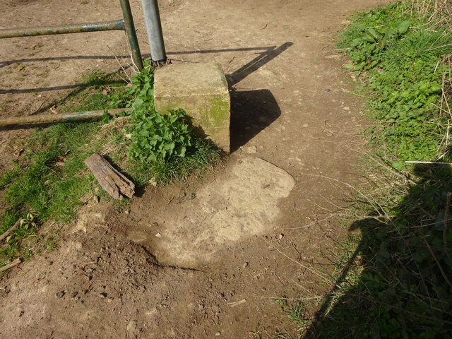
Westridge Wood Images

Images are sourced within 2km of 51.652619/-2.3623989 or Grid Reference ST7594. Thanks to Geograph Open Source API. All images are credited.

The New Inn (1), Waterley Bottom, near Dursley, Glos Reached through a network of single track lanes, this public house has the feeling of being in the middle of nowhere. It is in fact not far from Dursley and also from the village of North Nibley. It is near the end of a cul-de-sac lane, although from the end there is a public footpath up Breakheart Hill. A good map or a Sat Nav system is recommended to find this pub, which has restricted opening hours. They are shown on its website.

Originally a farm cottage which served cider to workers in nearby industrial establishments. It seems to have become a pub around 1845. It still carries a range of ciders and also real ale etc. Food is served (see website) and there is a very attractive garden, and a car park.

<a href="https://www.geograph.org.uk/photo/6930531">ST7596 : The New Inn (2) - sign, Waterley Bottom, near Dursley, Glos</a>.
<a href="https://www.geograph.org.uk/photo/6930540">ST7596 : The New Inn (3) - garden, Waterley Bottom, near Dursley, Glos</a>.
<a href="https://www.geograph.org.uk/photo/6930544">ST7596 : The New Inn (4) - sculpture in garden, Waterley Bottom, near Dursley, Glos</a>.
<a href="https://www.geograph.org.uk/photo/6930554">ST7596 : The New Inn (5) - rear view, Waterley Bottom, near Dursley, Glos</a>.
The New Inn (1), Waterley Bottom, near Dursley, Glos
Reached through a network of single track lanes, this public house has the feeling of being in the middle of nowhere. It is in fact not far from Dursley and also from the village of North Nibley. It is near the end of a cul-de-sac lane, although from the end there is a public footpath up Breakheart Hill. A good map or a Sat Nav system is recommended to find this pub, which has restricted opening hours. They are shown on its website. Originally a farm cottage which served cider to workers in nearby industrial establishments. It seems to have become a pub around 1845. It still carries a range of ciders and also real ale etc. Food is served (see website) and there is a very attractive garden, and a car park. ST7596 : The New Inn (2) - sign, Waterley Bottom, near Dursley, Glos. ST7596 : The New Inn (3) - garden, Waterley Bottom, near Dursley, Glos. ST7596 : The New Inn (4) - sculpture in garden, Waterley Bottom, near Dursley, Glos. ST7596 : The New Inn (5) - rear view, Waterley Bottom, near Dursley, Glos.
The New Inn (2) - sign, Waterley Bottom, near Dursley, Glos The sign states the public house is a free house. The pub has been painted an attractive dark green colour since earlier photographs on this website were taken. 

Link to other photographs:- <a href="https://www.geograph.org.uk/photo/6930525">ST7596 : The New Inn (1), Waterley Bottom, near Dursley, Glos</a>.
The New Inn (2) - sign, Waterley Bottom, near Dursley, Glos
The sign states the public house is a free house. The pub has been painted an attractive dark green colour since earlier photographs on this website were taken. Link to other photographs:- ST7596 : The New Inn (1), Waterley Bottom, near Dursley, Glos.
The New Inn (3) - garden, Waterley Bottom, near Dursley, Glos Part of the pub's attractive garden.

Link to other photographs:- <a href="https://www.geograph.org.uk/photo/6930525">ST7596 : The New Inn (1), Waterley Bottom, near Dursley, Glos</a>.
The New Inn (3) - garden, Waterley Bottom, near Dursley, Glos
Part of the pub's attractive garden. Link to other photographs:- ST7596 : The New Inn (1), Waterley Bottom, near Dursley, Glos.
The New Inn (4) - sculpture in garden, Waterley Bottom, near Dursley, Glos This sculpture of a kingfisher can be found in the garden of The New Inn.

Link to other photographs:- <a href="https://www.geograph.org.uk/photo/6930525">ST7596 : The New Inn (1), Waterley Bottom, near Dursley, Glos</a>.
The New Inn (4) - sculpture in garden, Waterley Bottom, near Dursley, Glos
This sculpture of a kingfisher can be found in the garden of The New Inn. Link to other photographs:- ST7596 : The New Inn (1), Waterley Bottom, near Dursley, Glos.
The New Inn (5) - rear view, Waterley Bottom, near Dursley, Glos A view of the rear of the pub and part of the garden, from the car park.

Link to other photographs:- <a href="https://www.geograph.org.uk/photo/6930525">ST7596 : The New Inn (1), Waterley Bottom, near Dursley, Glos</a>.
The New Inn (5) - rear view, Waterley Bottom, near Dursley, Glos
A view of the rear of the pub and part of the garden, from the car park. Link to other photographs:- ST7596 : The New Inn (1), Waterley Bottom, near Dursley, Glos.
Stone Stile, North Nibley Off a u/c road SW of Park Farm. There is a rivet Benchmark representing 66,5 m ASL, see <span class="nowrap"><a title="http://benchmarks.mister.red/#ST74309677" rel="nofollow ugc noopener" href="http://benchmarks.mister.red/#ST74309677">Link</a><img style="margin-left:2px;" alt="External link" title="External link - shift click to open in new window" src="https://s1.geograph.org.uk/img/external.png" width="10" height="10"/></span>
Stone Stile, North Nibley
Off a u/c road SW of Park Farm. There is a rivet Benchmark representing 66,5 m ASL, see LinkExternal link
Cut Mark: Wotton-under-Edge, Long Street, Carlton House Cut bench mark on the frontage of the house.  See <a title="https://www.geograph.org.uk/photo/7070432" href="https://www.geograph.org.uk/photo/7070432">Link</a> for a wider view and <span class="nowrap"><a title="https://www.bench-marks.org.uk/bm59141" rel="nofollow ugc noopener" href="https://www.bench-marks.org.uk/bm59141">Link</a><img style="margin-left:2px;" alt="External link" title="External link - shift click to open in new window" src="https://s1.geograph.org.uk/img/external.png" width="10" height="10"/></span> for details of the mark.
Cut Mark: Wotton-under-Edge, Long Street, Carlton House
Cut bench mark on the frontage of the house. See Link for a wider view and LinkExternal link for details of the mark.
Carlton House, Long Street There is a cut bench mark on the frontage of the house.  See <a title="https://www.geograph.org.uk/photo/7070429" href="https://www.geograph.org.uk/photo/7070429">Link</a> for a wider view and <span class="nowrap"><a title="https://www.bench-marks.org.uk/bm59141" rel="nofollow ugc noopener" href="https://www.bench-marks.org.uk/bm59141">Link</a><img style="margin-left:2px;" alt="External link" title="External link - shift click to open in new window" src="https://s1.geograph.org.uk/img/external.png" width="10" height="10"/></span> for details of the mark.
Carlton House, Long Street
There is a cut bench mark on the frontage of the house. See Link for a wider view and LinkExternal link for details of the mark.
Cut Mark: Wotton-under-Edge, Orchard Street / Long Street Cut mark on the Orchard Street face of a building on the corner of Orchard Street and Long Street.  See <span class="nowrap"><a title="https://www.bench-marks.org.uk/bm102245" rel="nofollow ugc noopener" href="https://www.bench-marks.org.uk/bm102245">Link</a><img style="margin-left:2px;" alt="External link" title="External link - shift click to open in new window" src="https://s1.geograph.org.uk/img/external.png" width="10" height="10"/></span> for details of the mark.
Cut Mark: Wotton-under-Edge, Orchard Street / Long Street
Cut mark on the Orchard Street face of a building on the corner of Orchard Street and Long Street. See LinkExternal link for details of the mark.
Stone Stile, Wotton-under-Edge A stone slab from the stile, now a "Fallen Idle". On Gloucestershire bridleway CWE95 looking South, the view looking North is <a href="https://www.geograph.org.uk/photo/7127050">ST7594 : Stone Stile, Wotton-under-Edge</a>.
Stone Stile, Wotton-under-Edge
A stone slab from the stile, now a "Fallen Idle". On Gloucestershire bridleway CWE95 looking South, the view looking North is ST7594 : Stone Stile, Wotton-under-Edge.
Stone Stile, Wotton-under-Edge A stone slab from the stile, now a "Fallen Idle". On Gloucestershire bridleway CWE95 looking North, the view looking South is <a href="https://www.geograph.org.uk/photo/7127049">ST7594 : Stone Stile, Wotton-under-Edge</a>.
Stone Stile, Wotton-under-Edge
A stone slab from the stile, now a "Fallen Idle". On Gloucestershire bridleway CWE95 looking North, the view looking South is ST7594 : Stone Stile, Wotton-under-Edge.
Stone Stile, North Nibley At the junction of  Gloucestershire footpaths CNN48, CNN49 & CNN25 near Daisy Farm.
Stone Stile, North Nibley
At the junction of Gloucestershire footpaths CNN48, CNN49 & CNN25 near Daisy Farm.
Derelict buildings
Derelict buildings
Stone Stile, Wotton under Edge A gatepost and squeeze stile on Gloucestershire footpath CWE90 looking East. It would allow people to pass but not horses or cattle. Sheep might have been able to traverse. There was originally a gate at this point. The alternative view looking NW is <a href="https://www.geograph.org.uk/photo/7349021">ST7593 : Stone Stile, Wotton under Edge</a>.
Stone Stile, Wotton under Edge
A gatepost and squeeze stile on Gloucestershire footpath CWE90 looking East. It would allow people to pass but not horses or cattle. Sheep might have been able to traverse. There was originally a gate at this point. The alternative view looking NW is ST7593 : Stone Stile, Wotton under Edge.
Stone Stile, Wotton under Edge A gatepost and squeeze stile on Gloucestershire footpath CWE90 looking NW. It would allow people to pass but not horses or cattle. Sheep might have been able to traverse. There was originally a gate at this point. The alternative view looking East is <a href="https://www.geograph.org.uk/photo/7349020">ST7593 : Stone Stile, Wotton under Edge</a>.
Stone Stile, Wotton under Edge
A gatepost and squeeze stile on Gloucestershire footpath CWE90 looking NW. It would allow people to pass but not horses or cattle. Sheep might have been able to traverse. There was originally a gate at this point. The alternative view looking East is ST7593 : Stone Stile, Wotton under Edge.
Wotton-Under-Edge : Bear Street Looking along Bear Street from the road junction.
Wotton-Under-Edge : Bear Street
Looking along Bear Street from the road junction.
Wotton-Under-Edge: Ludgate Hill Looking along Ludgate Hill.
Wotton-Under-Edge: Ludgate Hill
Looking along Ludgate Hill.
Wotton-Under-Edge : Long Street Looking along Long Street.
Wotton-Under-Edge : Long Street
Looking along Long Street.
Show me another place!

Westridge Wood is located at Grid Ref: ST7594 (Lat: 51.652619, Lng: -2.3623989)

Administrative County: Gloucestershire

District: Stroud

Police Authority: Gloucestershire

What 3 Words

///tarnished.vertical.long. Near Wotton-under-Edge, Gloucestershire

Related Wikis

Wotton Hill

Wotton Hill (grid reference ST753942) is a hill on the edge of the Cotswold Hills in Gloucestershire, England, 0.5 miles (0.80 km) north of Wotton-under...

Nibley Knoll

Nibley Knoll (grid reference ST744956) is a 3.2-hectare (7.9-acre) geological Site of Special Scientific Interest in Gloucestershire, notified in 1974...

Tyndale Monument

The Tyndale Monument is a tower built on a hill at North Nibley, Gloucestershire, England. It was built in honour of William Tyndale, an early translator...

Bradley, Gloucestershire

Bradley is a small village in the Stroud District, in the county of Gloucestershire, England.Also part of the village is the hamlet of Bradley Green, with...
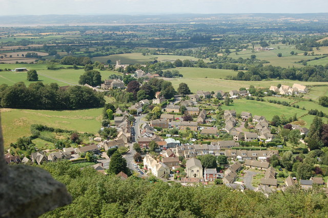
North Nibley

North Nibley is a village in Gloucestershire, England about 1.9 miles (3 km) northwest of Wotton-under-Edge. == Name == The village is commonly known as...

Bournstream

Bournstream is a village located in Gloucestershire, England.

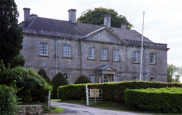
Nibley House, North Nibley

Nibley Hall, North Nibley in Gloucestershire is a Grade II* listed house on the English Heritage Register. The Neoclassical Georgian facade dates from...

Coombe Hill (Cotswolds)

Coombe Hill (grid reference ST765942) is a 15.4-hectare (38-acre) biological Site of Special Scientific Interest in Gloucestershire, notified in 1994.The...

Nearby Amenities

Located within 500m of 51.652619,-2.3623989
Barrier: stile
Stile: stepover
Lat/Long: 51.6501291/-2.3659183
Description: Brackenbury Ditches Hill Fort
Tourism: viewpoint
Lat/Long: 51.6513628/-2.3680272
Brackenbury Ditches Hillfort
Archaeological Site: fortification
Historic: archaeological_site
Opening Hours: 24/7
Wheelchair: limited
Lat/Long: 51.6517739/-2.3669768
Barrier: entrance
Lat/Long: 51.6529582/-2.3670565
Barrier: entrance
Lat/Long: 51.6527525/-2.3670701
Barrier: entrance
Lat/Long: 51.6513334/-2.3664445
Barrier: entrance
Lat/Long: 51.6518002/-2.3650517
Barrier: entrance
Lat/Long: 51.6525721/-2.3670547
Barrier: entrance
Lat/Long: 51.6528802/-2.367097
The data included in this document is from www.openstreetmap.org. The data is made available under ODbL.

Have you been to Westridge Wood?

Leave your review of Westridge Wood below (or comments, questions and feedback).