Cother Wood

Wood, Forest in Worcestershire

England

Cother Wood

Cowleigh Road near Rough Hill Wood
Cowleigh Road near Rough Hill Wood Credit: Peter Whatley

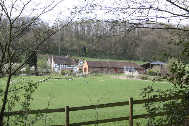
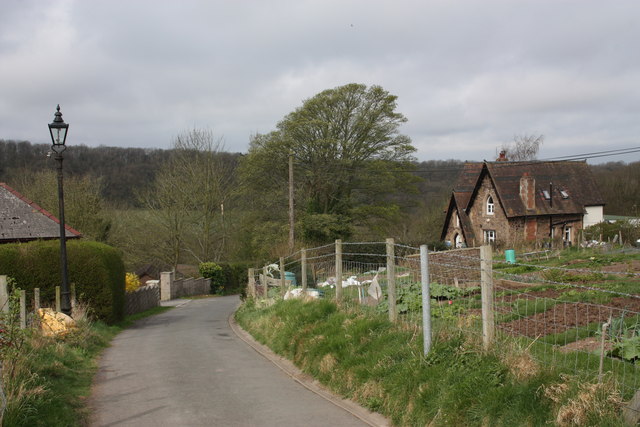
Cother Wood is a picturesque forest located in Worcestershire, England. Covering an area of approximately 500 acres, it is a popular destination for nature enthusiasts and hikers. The wood is located in close proximity to the charming village of Wood, adding to its appeal.

Cother Wood is known for its diverse range of flora and fauna, making it a haven for wildlife. The forest is predominantly populated by deciduous trees such as oak, beech, and birch. These majestic trees create a stunning canopy that provides shade and adds to the beauty of the wood. The forest floor is carpeted with a variety of wildflowers and ferns, adding to the vibrant and colorful atmosphere.

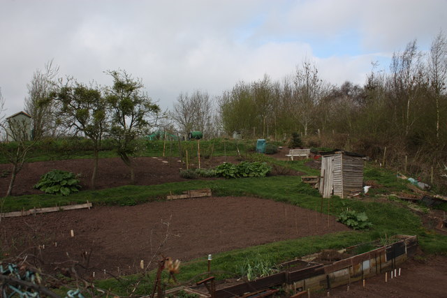
Visitors to Cother Wood can enjoy a network of well-maintained walking trails that wind through the forest. These trails offer a chance to explore the wood's natural wonders, including tranquil streams, small ponds, and rocky outcrops. The wood is also home to a number of bird species, making it a great spot for birdwatching.

Cother Wood is a protected area and is managed by the Worcestershire Wildlife Trust. The trust actively works to preserve the natural habitat and promote conservation efforts within the wood. It also organizes events and activities to educate visitors about the local wildlife and the importance of environmental conservation.

Overall, Cother Wood is a hidden gem in Worcestershire, offering a peaceful and enchanting experience for those seeking solace in nature. Its combination of scenic beauty, biodiversity, and accessibility make it a must-visit destination for nature lovers of all ages.

If you have any feedback on the listing, please let us know in the comments section below.
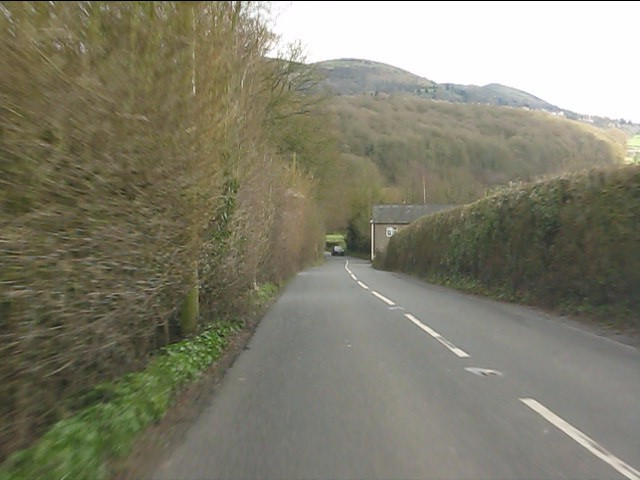
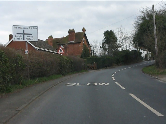
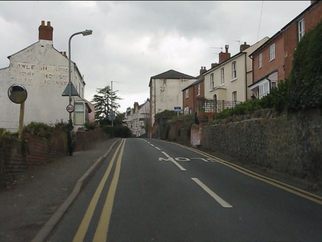
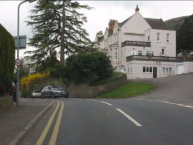
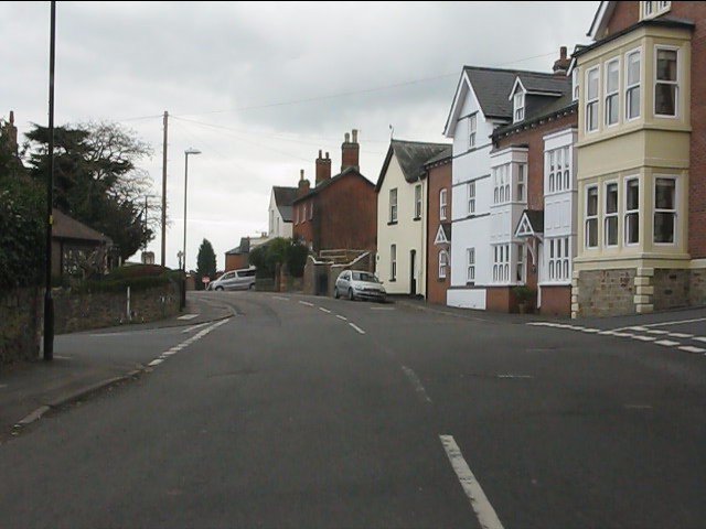
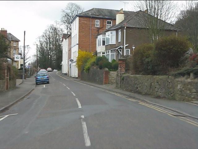
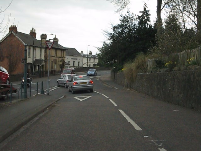
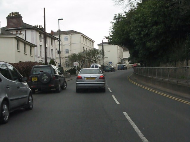
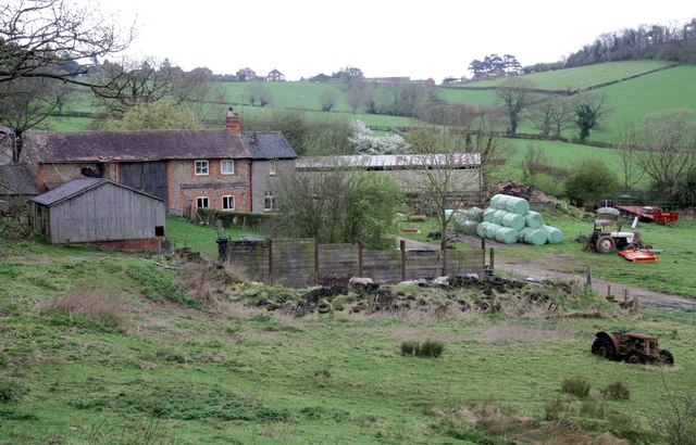
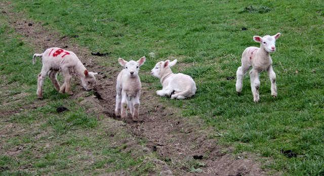
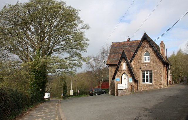
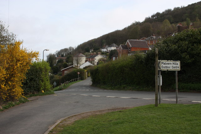
Cother Wood Images

Images are sourced within 2km of 52.118661/-2.3568219 or Grid Reference SO7546. Thanks to Geograph Open Source API. All images are credited.

Cowleigh Road near Rough Hill Wood
North Malvern - Cowleigh Road approaching Cowleigh Bank crossroads
North Malvern - Cowleigh Road Faded lettering on the building on the left reveals it to once have been the Cowleigh Arms free house and off licence.  It is now a private dwelling.
North Malvern - Cowleigh Road
Faded lettering on the building on the left reveals it to once have been the Cowleigh Arms free house and off licence. It is now a private dwelling.
North Malvern - building at the junction of Cowleigh Road and Old Hollow
North Malvern - Cowleigh Road at Belvoir Bank
North Malvern - eastern end of Cowleigh Road
North Malvern Road meets Worcester Road A busy junction with blind sightlines both ways and heavy traffic on all routes.  Typical of local roads in the Malvern area and symptomatic of the town centre's decline in favour of more accessible retail parks.
North Malvern Road meets Worcester Road
A busy junction with blind sightlines both ways and heavy traffic on all routes. Typical of local roads in the Malvern area and symptomatic of the town centre's decline in favour of more accessible retail parks.
Great Malvern - Worcester Road near Bank Street
Great Malvern - Worcester Road at Bray's Bray's department store occupies the grey-painted building on the right.  A rare survivor of the "Are You Being Served?" variety.
Great Malvern - Worcester Road at Bray's
Bray's department store occupies the grey-painted building on the right. A rare survivor of the "Are You Being Served?" variety.
Great Malvern - Worcester Road at the Foley Arms Hotel The Foley Arms had a chequered life in the period 2008-2010. It ceased trading as a hotel, was occupied by its own staff in a "sit in" and finally acquired by the Wetherspoons chain, whose name it now sports.  The Foley Arms now (2011) provides both accommodation and the usual Wetherspoons bar experience.
Great Malvern - Worcester Road at the Foley Arms Hotel
The Foley Arms had a chequered life in the period 2008-2010. It ceased trading as a hotel, was occupied by its own staff in a "sit in" and finally acquired by the Wetherspoons chain, whose name it now sports. The Foley Arms now (2011) provides both accommodation and the usual Wetherspoons bar experience.
Great Malvern - The Unicorn pub Proof that you can see a unicorn!  There's one over the entrance.
Great Malvern - The Unicorn pub
Proof that you can see a unicorn! There's one over the entrance.
Cowleigh Gate Farm From near the ford through Whippets Brook in Cowleigh Park.
Cowleigh Gate Farm
From near the ford through Whippets Brook in Cowleigh Park.
Birches Farm In the valley of the Whippets Brook between the limestone ridge to the west and the granite of the Malvern Hills to the east.
Birches Farm
In the valley of the Whippets Brook between the limestone ridge to the west and the granite of the Malvern Hills to the east.
Young lambs near Birches Farm The lambs are numbered to match their mothers.
They seemed to gather on the footpath and appeared more curious than cautious - until their anxious mothers called to them.
Young lambs near Birches Farm
The lambs are numbered to match their mothers. They seemed to gather on the footpath and appeared more curious than cautious - until their anxious mothers called to them.
Reception, West Malvern Outdoor Centre Dating back to the open air school of 1914.
"The main focus of a visit to the centre is the residential experience, incorporating activities designed to challenge and stretch participants."
<span class="nowrap"><a title="http://www.worcestershire.gov.uk/cms/education-and-learning/be-healthy/outdoor-education-centres/malvern-hills-oec.aspx" rel="nofollow ugc noopener" href="http://www.worcestershire.gov.uk/cms/education-and-learning/be-healthy/outdoor-education-centres/malvern-hills-oec.aspx">Link</a><img style="margin-left:2px;" alt="External link" title="External link - shift click to open in new window" src="https://s1.geograph.org.uk/img/external.png" width="10" height="10"/></span>
Reception, West Malvern Outdoor Centre
Dating back to the open air school of 1914. "The main focus of a visit to the centre is the residential experience, incorporating activities designed to challenge and stretch participants." LinkExternal link
Old Hollow, West Malvern The junction with the narrow road to the outdoor education centre.
Old Hollow, West Malvern
The junction with the narrow road to the outdoor education centre.
The road to West Malvern Outdoor Centre The narrow lane is still lit with the old gas lamps.
The building on the right is the reception office for the outdoor centre.
The road to West Malvern Outdoor Centre
The narrow lane is still lit with the old gas lamps. The building on the right is the reception office for the outdoor centre.
West Malvern allotments Just off the road to the outdoor centre.
The apple trees are bristling with mistletoe.
West Malvern allotments
Just off the road to the outdoor centre. The apple trees are bristling with mistletoe.
Show me another place!

Cother Wood is located at Grid Ref: SO7546 (Lat: 52.118661, Lng: -2.3568219)

Unitary Authority: County of Herefordshire

Police Authority: West Mercia

What 3 Words

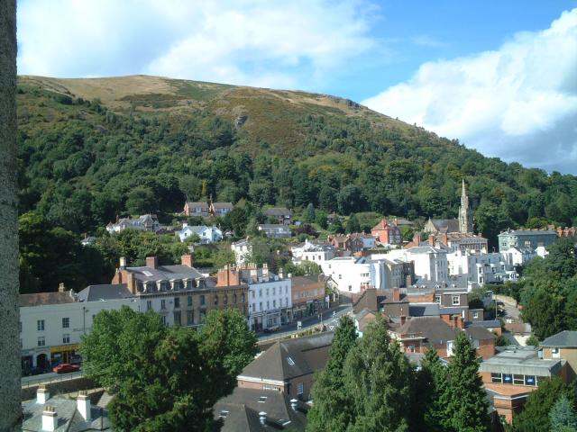
///tigers.annual.soothing. Near Great Malvern, Worcestershire

Related Wikis

West Malvern

West Malvern is a village and a civil parish on the west side of the north part of the Malvern Hills, on the western edge of Worcestershire, England. It...

Regents Theological College

Regents Theological College is a theological college in Malvern, Worcestershire, England. It is the training centre of the Elim Pentecostal Church. First...

End Hill

End Hill is the northernmost top of the Malvern Hills that runs approximately 13 kilometres (8 mi) north-south along the Herefordshire-Worcestershire border...
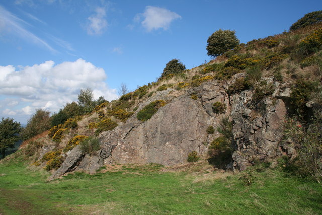
Table Hill

Table Hill is situated in the range of Malvern Hills that runs about 13 kilometres (8 mi) north-south along the Herefordshire-Worcestershire border. It...

North Hill, Malvern

North Hill is the second highest point of the range of Malvern Hills that runs about 13 kilometres (8.1 mi) north-south along the Herefordshire-Worcestershire...

North Malvern

North Malvern is a suburb of Malvern, Worcestershire, England. It nestles on the northern slopes of the Malvern Hills. It is a contiguous urban extension...

Sugarloaf Hill, Malvern

Sugarloaf Hill lies between the Worcestershire Beacon and North Hill in the range of Malvern Hills that runs about 13 kilometres (8 mi) north-south along...

Church of St Peter, Cowleigh

The Church of St Peter, Cowleigh, is a Grade II listed Anglican church in the parish of Malvern Link and Cowleigh. It was built in 1865, and was designed...

Nearby Amenities

Located within 500m of 52.118661,-2.3568219
Barrier: stile
Lat/Long: 52.1200858/-2.3534027
Barrier: stile
Lat/Long: 52.1145005/-2.3592384
Fixme: incomplete
Lat/Long: 52.1146327/-2.3600744
Bridge: yes
Lat/Long: 52.1209007/-2.3520385
Barrier: stile
Description: dog gate
Lat/Long: 52.1200327/-2.351964
Barrier: stile
Lat/Long: 52.1197667/-2.3528938
Barrier: stile
Lat/Long: 52.1203845/-2.3515001
Barrier: stile
Source: survey;gps
Lat/Long: 52.1201875/-2.3516544
Natural: wood
Lat/Long: 52.1181175/-2.3576652
The data included in this document is from www.openstreetmap.org. The data is made available under ODbL.

Have you been to Cother Wood?

Leave your review of Cother Wood below (or comments, questions and feedback).