Rickett's Wood

Wood, Forest in Dorset

England

Rickett's Wood

House Fourways at junction at south end of village
House Fourways at junction at south end of village Credit: John Firth

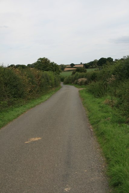
Rickett's Wood is a picturesque woodland located in the county of Dorset, England. Stretching across an area of approximately 100 acres, this enchanting forest is nestled within the heart of the rural landscape, just a few miles away from the charming town of Dorchester.

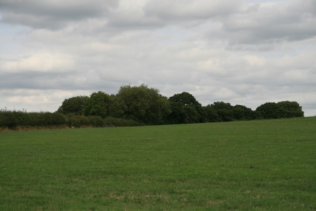
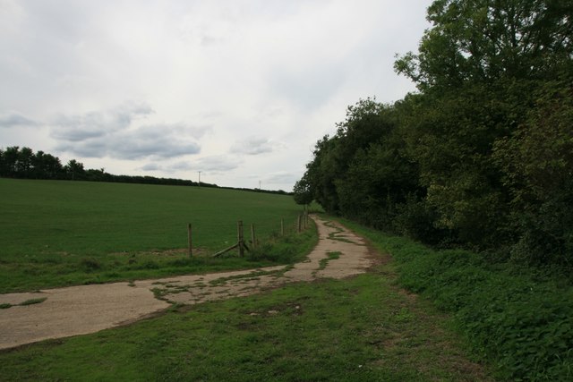
The wood boasts a diverse range of tree species, including oak, beech, and birch, creating a rich and vibrant canopy that offers a haven for a variety of wildlife. Tranquil pathways wind their way through the wood, inviting visitors to explore its beauty and discover its hidden treasures.

One of the standout features of Rickett's Wood is its ancient woodland status, indicating that it has been continuously wooded for at least four centuries. This designation highlights the historical significance and ecological value of the site, as it supports a wide array of plant and animal species.

Throughout the year, Rickett's Wood offers a stunning display of seasonal colors. In spring, the forest floor is carpeted with vibrant wildflowers, while in autumn, the leaves transform into a kaleidoscope of reds, oranges, and golds. The changing seasons provide a captivating backdrop for nature enthusiasts, photographers, and those seeking a peaceful retreat.

Managed by a local conservation group, Rickett's Wood is a cherished community space that hosts various educational events and guided walks. Visitors can learn about the woodland's history, ecology, and the importance of sustainable forest management.

With its serene ambiance, diverse flora and fauna, and commitment to conservation, Rickett's Wood is a true gem within the Dorset countryside, offering a captivating experience for all who venture into its enchanting depths.

If you have any feedback on the listing, please let us know in the comments section below.

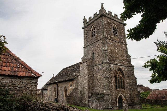
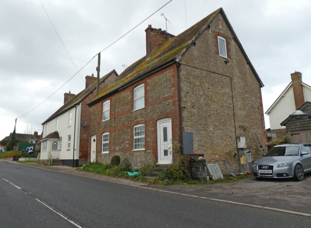
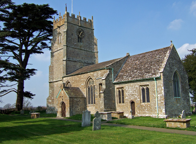
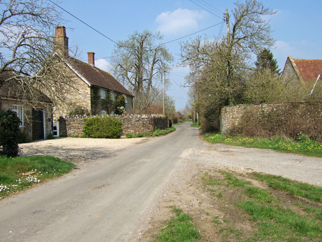
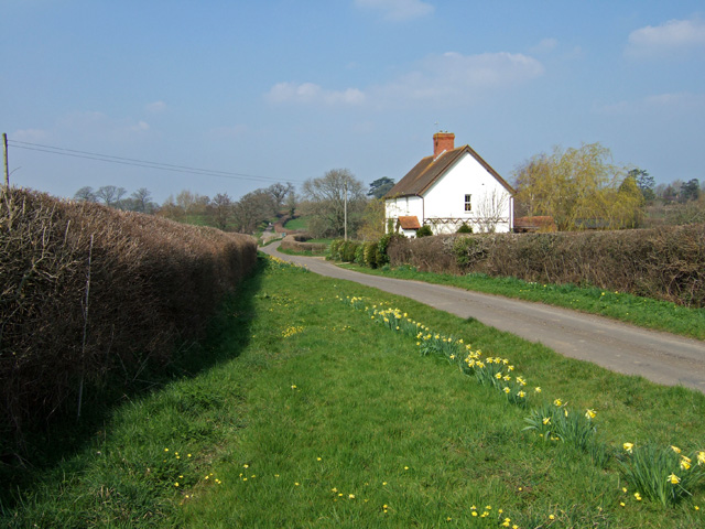
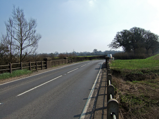
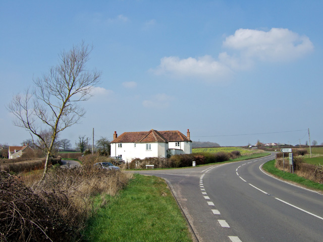
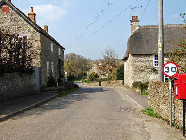
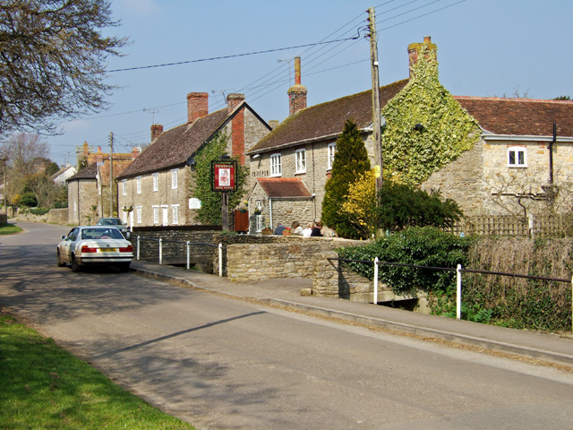
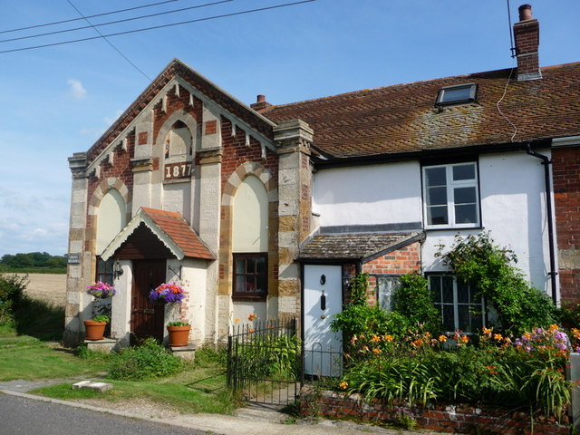
Rickett's Wood Images

Images are sourced within 2km of 50.924777/-2.3895486 or Grid Reference ST7213. Thanks to Geograph Open Source API. All images are credited.

House Fourways at junction at south end of village
Bare trees by the A3030 near Blackrow Lane The sign indicates the turn for Blackrow Lane, leading to King's Stag
Bare trees by the A3030 near Blackrow Lane
The sign indicates the turn for Blackrow Lane, leading to King's Stag
A3030 in Stock Wood, near Lydlinch
Houses in Lydlinch
Houses in Lydlinch
Drove Road, Stourton Caundle
Sturt Coppice
Sturt Coppice
Footpath through farmland, Stourton Caundle
Benchmark St Peter's Church, Stourton Caundle See also <a href="https://www.geograph.org.uk/photo/5891489">ST7115 : St Peter's Church, Stourton Caundle</a>.
Benchmark St Peter's Church, Stourton Caundle
St Peter's Church, Stourton Caundle There is an Ordnance Survey benchmark on this building, see <a href="https://www.geograph.org.uk/photo/5891488">ST7115 : Benchmark St Peter's Church, Stourton Caundle</a>.
St Peter's Church, Stourton Caundle
There is an Ordnance Survey benchmark on this building, see ST7115 : Benchmark St Peter's Church, Stourton Caundle.
Old Boundary Marker on Waterloo Lane near Warr Bridge Parish Boundary Marker on the west side of the junction of Waterloo Lane and the A357 Cook's Lane north of Warr Bridge, opposite toll house DO.STA. On the border of Stourton Caundle and Stalbridge parishes.

Milestone Society National ID: DO_STCAST01pb
Old Boundary Marker on Waterloo Lane near Warr Bridge
Parish Boundary Marker on the west side of the junction of Waterloo Lane and the A357 Cook's Lane north of Warr Bridge, opposite toll house DO.STA. On the border of Stourton Caundle and Stalbridge parishes. Milestone Society National ID: DO_STCAST01pb
Three Boars Cottages, Lydlinch
St Thomas a Becket Church Lydlinch The church was completed in 1479 but with an earlier 13th century tower, restored in Tudor times.
St Thomas a Becket Church Lydlinch
The church was completed in 1479 but with an earlier 13th century tower, restored in Tudor times.
Lydlinch
Lydlinch
Cottage at Cox's Water This solitary cottage and the bridge over the River Lydden in the far distance beyond, are the only features which mark this spot just south of Lydlinch.
Cottage at Cox's Water
This solitary cottage and the bridge over the River Lydden in the far distance beyond, are the only features which mark this spot just south of Lydlinch.
Warr Bridge View is of the road bridge crossing of the Caundle Brook, looking south along the A357 towards its junction with the A3030.
Warr Bridge
View is of the road bridge crossing of the Caundle Brook, looking south along the A357 towards its junction with the A3030.
House near Warr Bridge I hesitate to describe this substantial property as a former Toll House, as it seems far too large, yet its architectural style suggests that it might have been at one time. The view is towards the north on the main A357 to Shepton Mallet, at its junction with the minor road to Stourton Caundle.
House near Warr Bridge
I hesitate to describe this substantial property as a former Toll House, as it seems far too large, yet its architectural style suggests that it might have been at one time. The view is towards the north on the main A357 to Shepton Mallet, at its junction with the minor road to Stourton Caundle.
Stourton Caundle from the South
Village Street and Pub at Stourton Caundle A fine Spring day, where drinkers at The Trooper were outside, basking in the warm afternoon sun. The pub is Grade II listed, and may have originally been a mid C19 house.
Village Street and Pub at Stourton Caundle
A fine Spring day, where drinkers at The Trooper were outside, basking in the warm afternoon sun. The pub is Grade II listed, and may have originally been a mid C19 house.
Show me another place!

Rickett's Wood is located at Grid Ref: ST7213 (Lat: 50.924777, Lng: -2.3895486)

Unitary Authority: Dorset

Police Authority: Dorset

What 3 Words

///necklace.shop.disprove. Near Stalbridge, Dorset

Related Wikis

Stourton Caundle

Stourton Caundle is a village and civil parish in the county of Dorset in southwest England. It lies within the Blackmore Vale, about five miles (eight...

Lydlinch

Lydlinch is a village and civil parish in the Blackmore Vale in north Dorset, England, about three miles (five kilometres) west of Sturminster Newton....

Caundle Brook

Caundle Brook is a 13.4 miles (21.6 km) tributary of the River Lydden that flows through Blackmore Vale in Dorset, England.Its headwaters rise at the foot...

Woodbridge, Dorset

Woodbridge is a hamlet in Dorset, England. The village is on the A3030 road and to the north east of Holwell. == History == Woodbridge was part of the...

Bagber

Bagber is a hamlet in the county of Dorset in southern England, situated about 2 miles (3.2 km) west and northwest of Sturminster Newton in the North Dorset...

King's Stag Memorial Chapel

King's Stag Memorial Chapel is a Church of England chapel in King's Stag, Dorset, England. == History == The memorial chapel at King's Stag was built in...

Bishop's Caundle

Bishop's Caundle is a village and civil parish in Dorset, South West England. It is situated 6 miles (9.7 km) south-east of Sherborne. The local travel...

Brownshall Hundred

Brownshall Hundred was a hundred in the county of Dorset, England, containing the following parishes: Holwell (transferred from Somerset 1844) Lydlinch...

Have you been to Rickett's Wood?

Leave your review of Rickett's Wood below (or comments, questions and feedback).