Alice Street Wood

Wood, Forest in Somerset Mendip

England

Alice Street Wood

St Mary's Church, Wanstrow
St Mary's Church, Wanstrow Credit: David Gearing

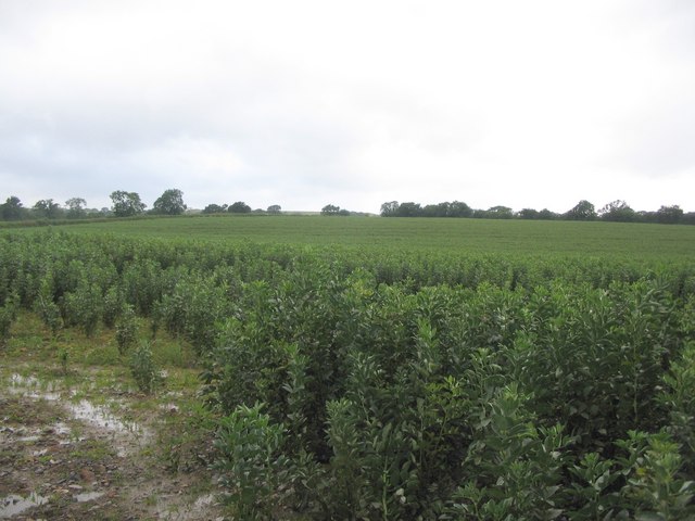
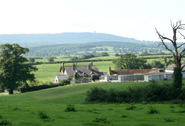
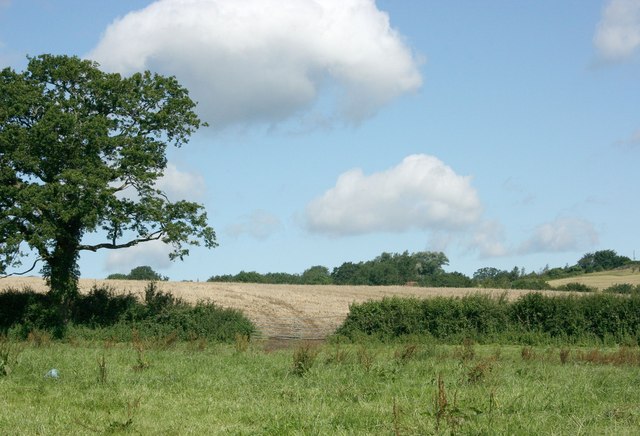
Alice Street Wood is a picturesque woodland located in Somerset, England. Covering an area of approximately 20 acres, it is a cherished natural site for both locals and tourists alike. The wood is part of a larger forested area that stretches across the region and provides a peaceful retreat from the bustling city life.

The woodland is characterized by its diverse range of tree species, including oak, beech, and ash trees, which create a dense canopy overhead. These ancient trees, some of which have stood for centuries, give the wood a unique and enchanting atmosphere. The forest floor is adorned with a carpet of wildflowers and ferns, adding to the beauty of the surroundings.

Alice Street Wood is home to a variety of wildlife, making it an excellent spot for nature enthusiasts. Visitors can often spot deer, foxes, and a plethora of bird species, including woodpeckers and owls. The woodland also provides a habitat for smaller creatures such as squirrels, rabbits, and hedgehogs.

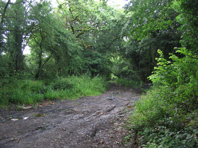
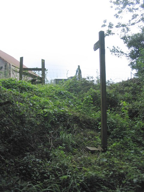
The wood is crisscrossed by well-maintained walking trails, allowing visitors to explore its natural wonders at their own pace. These paths wind through the trees, offering glimpses of sunlight filtering through the branches and creating a magical ambiance. It is not uncommon to encounter other walkers, joggers, or families enjoying a picnic in the designated areas.

Alice Street Wood is a cherished and protected natural gem in Somerset, providing a haven for both wildlife and nature enthusiasts. Its peaceful atmosphere and abundant beauty make it a must-visit destination for those seeking an escape into the tranquility of nature.

If you have any feedback on the listing, please let us know in the comments section below.

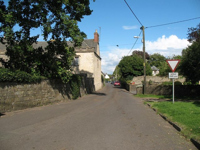
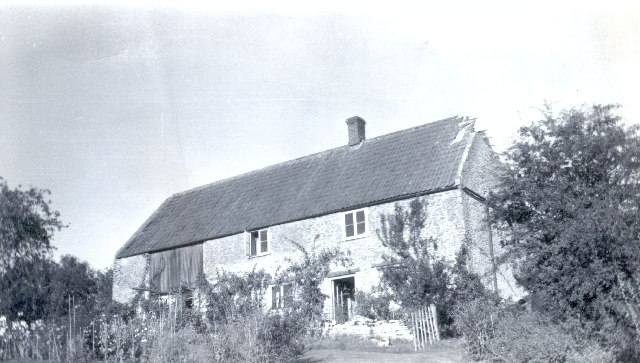
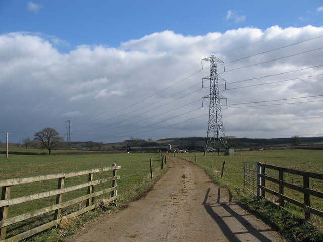
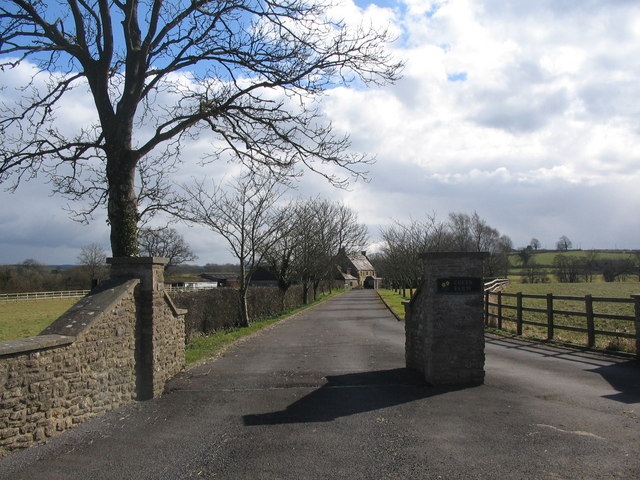
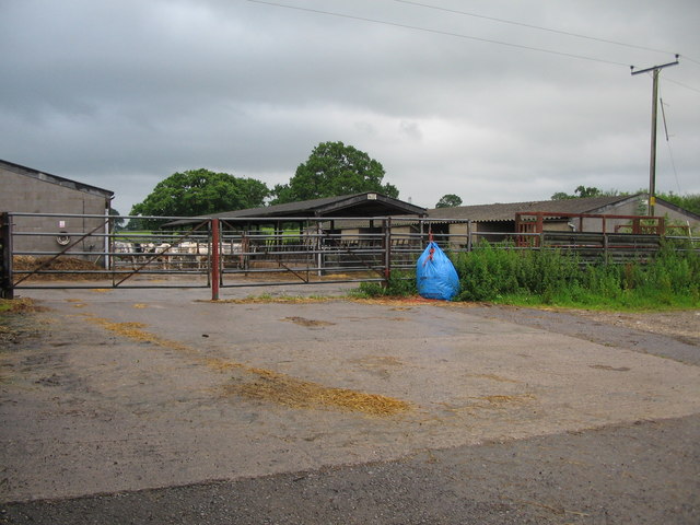
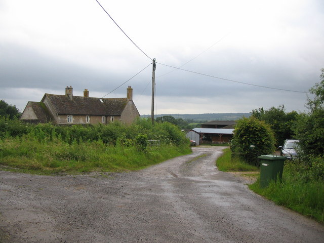
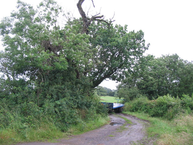
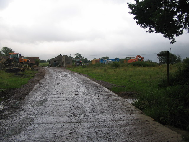
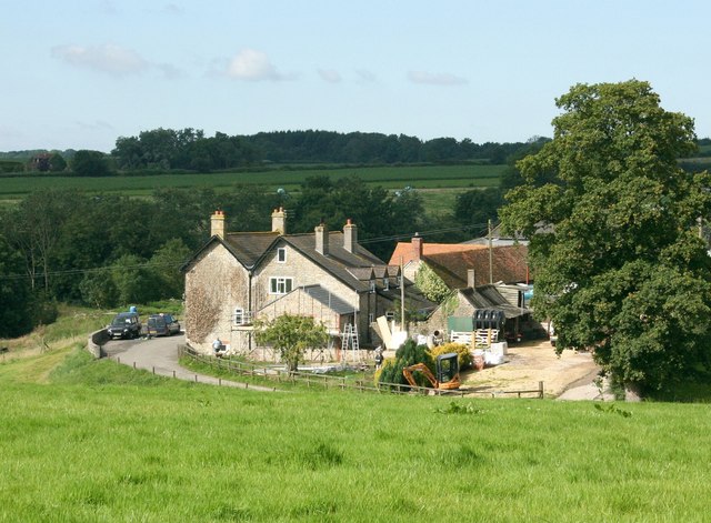
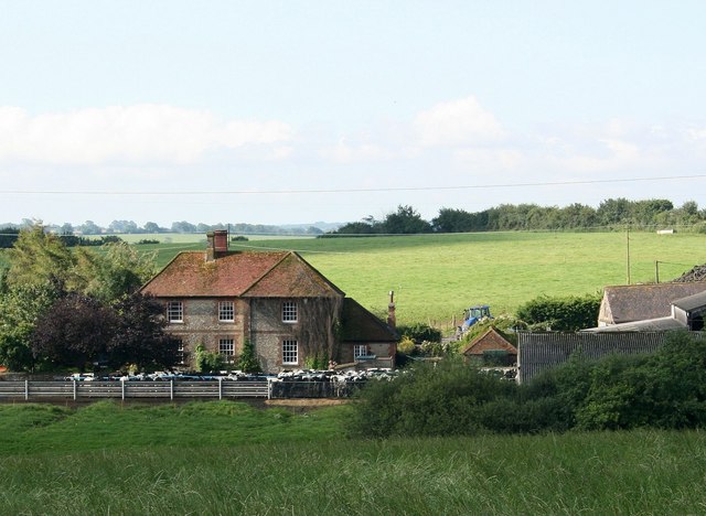
Alice Street Wood Images

Images are sourced within 2km of 51.181443/-2.3917665 or Grid Reference ST7242. Thanks to Geograph Open Source API. All images are credited.

St Mary's Church, Wanstrow
Church Street, Wanstrow
Train for Yatton climbs away from Witham A train on the Cheddar Valley (Strawberry) line to Yatton climbs away from Witham Friary, hauled by a GWR 0-6-0 steam locomotive.
Train for Yatton climbs away from Witham
A train on the Cheddar Valley (Strawberry) line to Yatton climbs away from Witham Friary, hauled by a GWR 0-6-0 steam locomotive.
Pick Barn Cottage Pick Barn Cottage after a lightning strike
Pick Barn Cottage
Pick Barn Cottage after a lightning strike
Cloford: church Dedicated to Mary the Virgin. Nearby Wanstrow and Batcombe churches share the same dedication; all three churches align 5 degrees north of east along their long axis, ie their nave and chancel. Probably just coincidence. Very few Somerset churches align exactly east, however; some bear as much as 18 degrees north of east or south of east.
Cloford: church
Dedicated to Mary the Virgin. Nearby Wanstrow and Batcombe churches share the same dedication; all three churches align 5 degrees north of east along their long axis, ie their nave and chancel. Probably just coincidence. Very few Somerset churches align exactly east, however; some bear as much as 18 degrees north of east or south of east.
Road to Landmarks Farm A view looking southeast along the access road to Landmarks Farm from the A359.
Road to Landmarks Farm
A view looking southeast along the access road to Landmarks Farm from the A359.
Coles Farm A view looking southeast from the A359 along the access road to Coles Farm.
Coles Farm
A view looking southeast from the A359 along the access road to Coles Farm.
Barns at Beans Land Farm A view looking south towards barns at Beans Land Farm.
Barns at Beans Land Farm
A view looking south towards barns at Beans Land Farm.
Cloford Common A view looking to the south at Cloford Common.
Cloford Common
A view looking to the south at Cloford Common.
Footpath to Cloford Common Farm. A view looking to the northeast towards the public footpath to Cloford Common Farm, blocked by the farm trailer.
Footpath to Cloford Common Farm.
A view looking to the northeast towards the public footpath to Cloford Common Farm, blocked by the farm trailer.
Cloford Common Farm A view looking to the east towards the public footpath at the entrance to Cloford Common Farm.
Cloford Common Farm
A view looking to the east towards the public footpath at the entrance to Cloford Common Farm.
Crop near Beans Land Farm A view looking to the north from Long Lane over a crop field near Beans Land Farm.
Crop near Beans Land Farm
A view looking to the north from Long Lane over a crop field near Beans Land Farm.
Track off Chovel Lane Extremely muddy after recent heavy rain, this track leads off to the northeast from Chovel Lane.
Track off Chovel Lane
Extremely muddy after recent heavy rain, this track leads off to the northeast from Chovel Lane.
Footpath at Cloford Common A view looking to the northwest towards a public footpath at Cloford Common. Although a stile is provided at the fence, to reach it involves a scramble up the overgrown bank.
Footpath at Cloford Common
A view looking to the northwest towards a public footpath at Cloford Common. Although a stile is provided at the fence, to reach it involves a scramble up the overgrown bank.
2007 : Barrow Farm, nr. Witham Friary Mixed farming in this area of Somerset, Alfred's Tower <a href="https://www.geograph.org.uk/gridref/ST7435">ST7435</a> in the Stourhead Estate can be seen on the horizon.
2007 : Barrow Farm, nr. Witham Friary
Mixed farming in this area of Somerset, Alfred's Tower ST7435 in the Stourhead Estate can be seen on the horizon.
Fields near Witham Friary Good land here, part pasture and part arable. Typical of the area.
Fields near Witham Friary
Good land here, part pasture and part arable. Typical of the area.
2007 : Barrow Farm, nr. Witham Friary Another view of Barrow Farm looking south west.  New House Farm is hiding in the trees at top left, almost on the sky line.
2007 : Barrow Farm, nr. Witham Friary
Another view of Barrow Farm looking south west. New House Farm is hiding in the trees at top left, almost on the sky line.
2007 : Quarry Hill Farm, Witham Friary The white spots this side of the farmhouse are the cows in for milking.
2007 : Quarry Hill Farm, Witham Friary
The white spots this side of the farmhouse are the cows in for milking.
Show me another place!

Alice Street Wood is located at Grid Ref: ST7242 (Lat: 51.181443, Lng: -2.3917665)

Administrative County: Somerset

District: Mendip

Police Authority: Avon and Somerset

What 3 Words

///thumbnail.ushering.confident. Near Frome, Somerset

Related Wikis

Postlebury Wood

Postlebury Wood (grid reference ST740430) is an 87 hectare biological Site of Special Scientific Interest south of Trudoxhill in Somerset, notified in...

Church of St Mary, Cloford

The Church of St Mary in Cloford, Wanstrow, Somerset, England was built in the 15th century. It is a Grade II* listed building. == History == The church...

Wanstrow

Wanstrow is a village and civil parish 6 miles (9.7 km) south west of Frome in Somerset, England. The parish includes the village of Cloford. == History... ==

Church of St Mary, Wanstrow

The Anglican Church Of St Mary in Wanstrow, within the English county of Somerset, was built in the 15th century. It is a Grade II* listed building.The...

Trudoxhill

Trudoxhill is a village and civil parish near Nunney in Somerset, England. == History == The name Trudoxhill comes from the Old English treow meaning tree...

Cloford Quarry

Cloford Quarry (grid reference ST718444) is a 39.92-hectare (98.6-acre) geological Site of Special Scientific Interest to the south of the A361 approximately...

Wanstrow railway station

Wanstrow railway station was a small station on the East Somerset Railway serving the village of Wanstrow in Somerset. The East Somerset Railway opened...

Church of St Mary, Witham Friary

The Church of St Mary in Witham Friary, Somerset, England, dates from around 1200 and it has been designated as a Grade I listed building.The church was...

Nearby Amenities

Located within 500m of 51.181443,-2.3917665
Colour: grey
Design: three-level
Height: 131.61
Line Attachment: suspension
Material: metal
Operator: National Grid
Operator Wikidata: Q1465461
Power: tower
Ref: ZG158
Source: Bing
Start Date: 1960
Structure: lattice
Lat/Long: 51.180679/-2.3954207
Colour: grey
Design: three-level
Height: 140.34
Line Attachment: suspension
Material: metal
Operator: National Grid
Operator Wikidata: Q1465461
Power: tower
Ref: ZG159
Source: Bing
Start Date: 1960
Structure: lattice
Lat/Long: 51.1807445/-2.3892836
The data included in this document is from www.openstreetmap.org. The data is made available under ODbL.

Have you been to Alice Street Wood?

Leave your review of Alice Street Wood below (or comments, questions and feedback).