Barrow Copse
Wood, Forest in Somerset Mendip
England
Barrow Copse
Barrow Copse, located in Somerset, England, is a picturesque wood that offers visitors a serene and tranquil retreat from the bustling city life. The copse, also referred to as Barrow Wood or Barrow Forest, is situated in the heart of the Somerset countryside, surrounded by rolling hills and lush green fields.
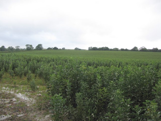
Covering an area of approximately 100 acres, Barrow Copse is known for its diverse range of tree species, including oak, beech, ash, and birch. The dense canopy formed by these towering trees provides an enchanting atmosphere, with dappled sunlight filtering through the leaves, creating a mesmerizing play of light and shadows.
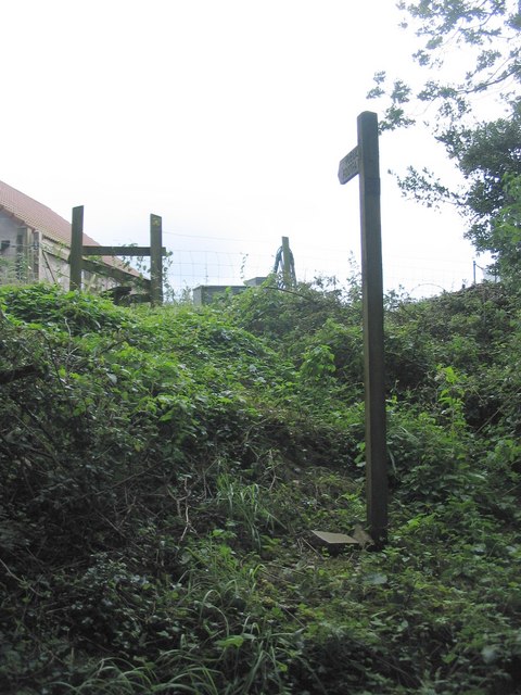
The copse is crisscrossed by a network of well-maintained footpaths, allowing visitors to explore the wood at their leisure. These trails lead visitors through a variety of habitats, from open glades carpeted with wildflowers to secluded clearings where wildlife can often be spotted. Nature enthusiasts can expect to encounter a plethora of bird species, such as woodpeckers and owls, as well as small mammals like squirrels and rabbits.
Barrow Copse is not only a haven for wildlife but also a cherished destination for outdoor activities. It offers ample opportunities for hiking, jogging, and picnicking, attracting locals and tourists alike. The copse is particularly popular during the springtime when an explosion of bluebells blankets the forest floor, creating a breathtaking floral display.
Preserved and protected, Barrow Copse serves as a valuable habitat for plants and animals and provides a peaceful and idyllic setting for visitors seeking a connection with nature. With its stunning scenery and abundant biodiversity, Barrow Copse is a must-visit destination for anyone exploring the beauty of Somerset.
If you have any feedback on the listing, please let us know in the comments section below.
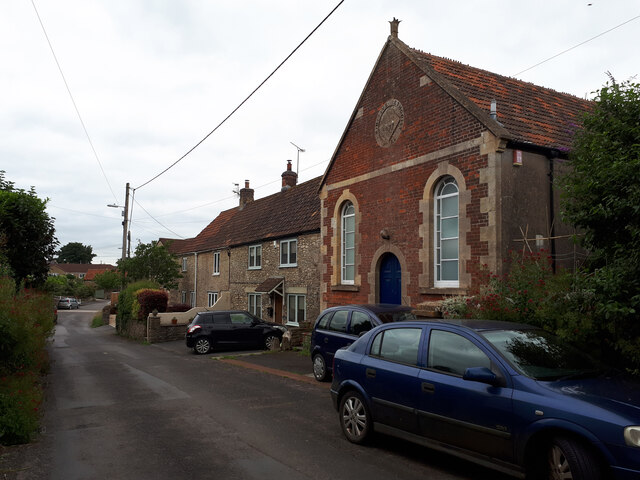
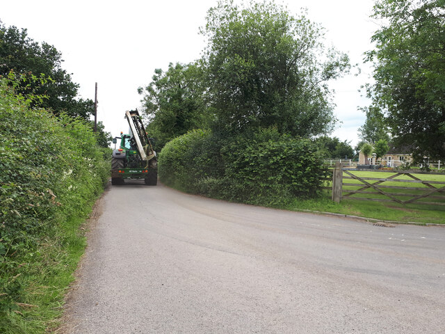
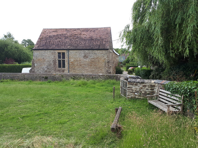
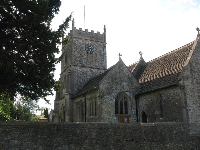
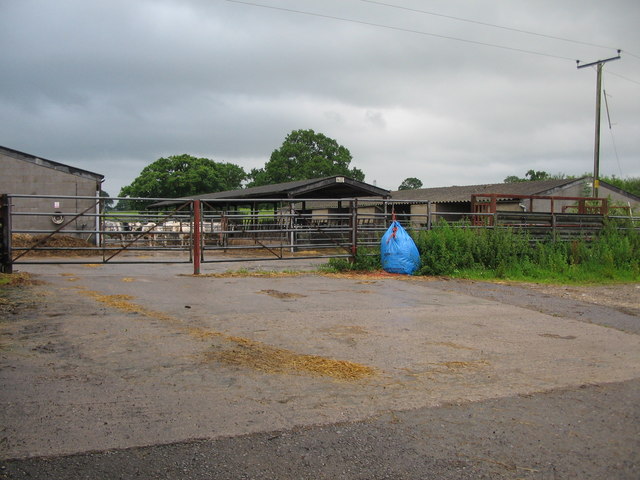
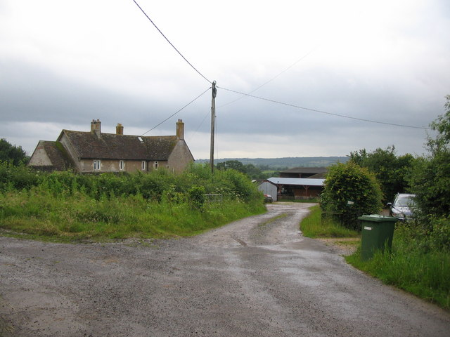
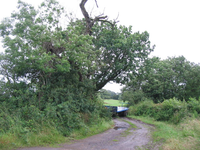
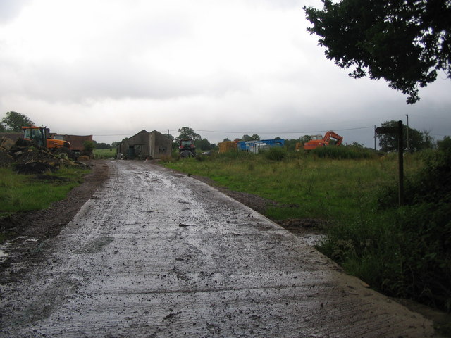
Barrow Copse Images
Images are sourced within 2km of 51.177894/-2.3910784 or Grid Reference ST7242. Thanks to Geograph Open Source API. All images are credited.
Barrow Copse is located at Grid Ref: ST7242 (Lat: 51.177894, Lng: -2.3910784)
Administrative County: Somerset
District: Mendip
Police Authority: Avon and Somerset
What 3 Words
///mural.crusher.train. Near Kilmington, Wiltshire
Nearby Locations
Related Wikis

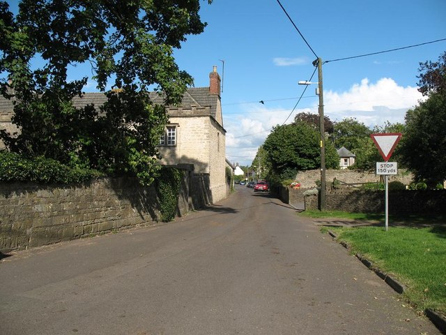
Wanstrow
Wanstrow is a village and civil parish 6 miles (9.7 km) south west of Frome in Somerset, England. The parish includes the village of Cloford. == History... ==

Postlebury Wood
Postlebury Wood (grid reference ST740430) is an 87 hectare biological Site of Special Scientific Interest south of Trudoxhill in Somerset, notified in...

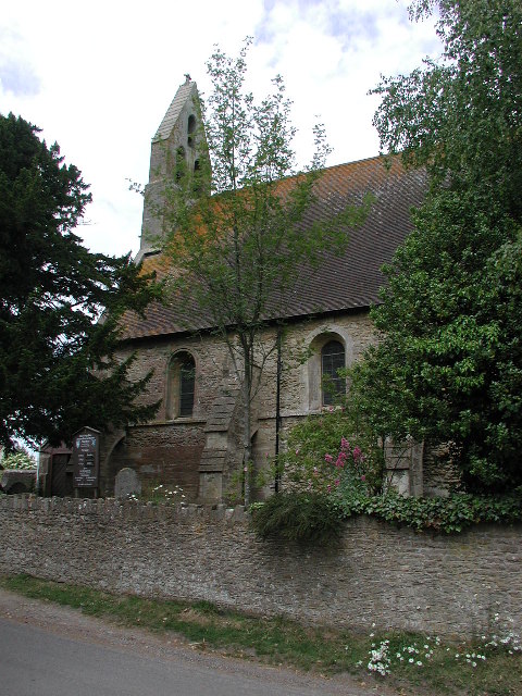
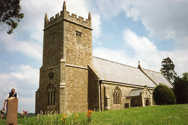
Church of St Mary, Wanstrow
The Anglican Church Of St Mary in Wanstrow, within the English county of Somerset, was built in the 15th century. It is a Grade II* listed building.The...

Church of St Mary, Cloford
The Church of St Mary in Cloford, Wanstrow, Somerset, England was built in the 15th century. It is a Grade II* listed building. == History == The church...

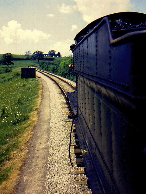
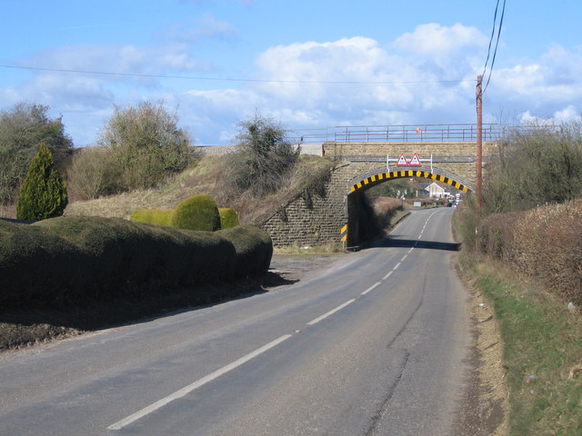
Wanstrow railway station
Wanstrow railway station was a small station on the East Somerset Railway serving the village of Wanstrow in Somerset. The East Somerset Railway opened...

Church of St Mary, Witham Friary
The Church of St Mary in Witham Friary, Somerset, England, dates from around 1200 and it has been designated as a Grade I listed building.The church was...
Witham Friary
Witham Friary is a small English village and civil parish located between the towns of Frome and Bruton in the county of Somerset. It is in the Cranborne...

Witham (Somerset) railway station
This station in Somerset is closed. For the open station in East Anglia, see Witham railway station.Witham (Somerset) railway station was a station serving...
Nearby Amenities
Located within 500m of 51.177894,-2.3910784Have you been to Barrow Copse?
Leave your review of Barrow Copse below (or comments, questions and feedback).